The best road cycling routes around Point Of Rocks
3.0
(1)
46
riders
10
rides
Road cycling routes around Point Of Rocks are situated in a region characterized by the Potomac River and its surrounding river valleys and hills. The area provides access to the C&O Canal Towpath, offering flat and scenic cycling experiences alongside historic aqueducts. The topography includes varied terrain suitable for different road cycling preferences, from gentle riverside paths to routes with more significant elevation changes.
Best road cycling routes around Point Of Rocks
- The most popular road cycling route is Poolesville/Barnesville loop, a 36.3 miles (58.4 km) trail that takes 2 hours 39 minutes to complete. This moderate route offers a comprehensive exploration of the local countryside.
- Another top favourite among local road cyclists is South Mountain loop, a moderate 43.8 miles (70.5 km) path. This route features significant elevation gain, providing a challenging ride through varied landscapes.
- Local road cyclists also love the Rocky Point Creamery loop from Point of Rocks, a 13.4 miles (21.6 km) trail leading through the local area, often completed in about 1 hour 4 minutes. This easy route is suitable for a more relaxed ride.
- Road cycling around Point Of Rocks is defined by the Potomac River, the C&O Canal National Historical Park, and surrounding river valleys and hills. The network offers options for different ability levels, from easy loops to more challenging rides with notable elevation.
- The routes in Point Of Rocks are highly rated by the komoot community with an average score of 3.0 stars from over 1 review. More than 20 road cyclists have used komoot to explore Point Of Rocks's varied terrain.
Last updated: July 7, 2026
1
riders
58.4km
02:39
540m
540m
Moderate road ride. Good fitness required. Mostly well-paved surfaces and easy to ride.
70.5km
03:34
870m
870m
Moderate road ride. Good fitness required. Mostly well-paved surfaces and easy to ride.

Sign up for free
28
riders
72.8km
03:25
790m
790m
Moderate road ride. Good fitness required. Mostly well-paved surfaces and easy to ride.
3.0
(1)
3
riders
22.1km
01:06
180m
180m
Moderate road ride. Great for any fitness level. Some segments of this route may be unpaved and difficult to ride.
3
riders
54.5km
02:52
800m
800m
Moderate road ride. Good fitness required. Mostly well-paved surfaces and easy to ride.
Get access to more routes and recommendations from other explorers.
Sign up for free
Already have an account?
Our route recommendations are based on thousands of hikes, rides, and runs completed by other people on komoot.
Start today with a free account
Your next adventure awaits.
Login or Signup
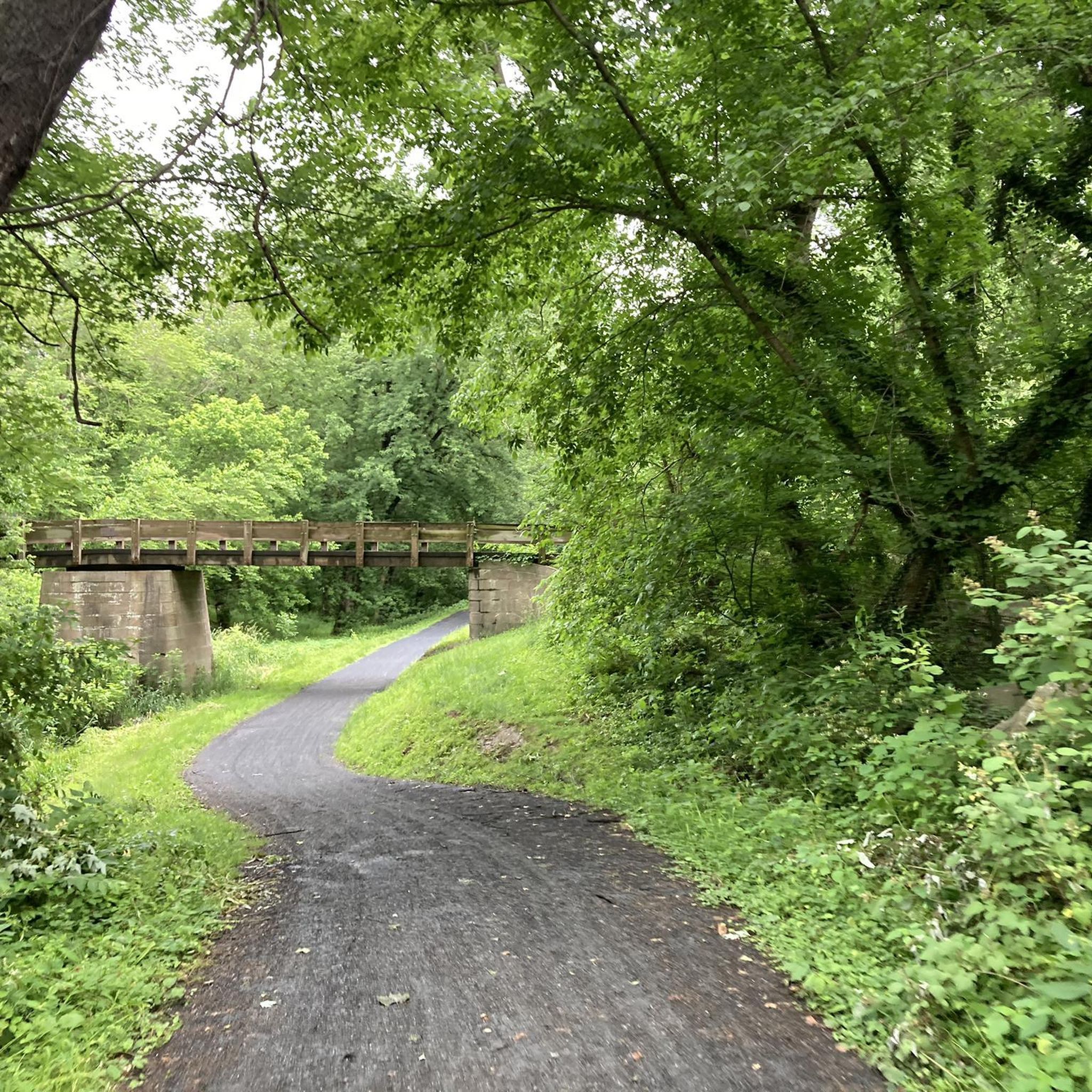
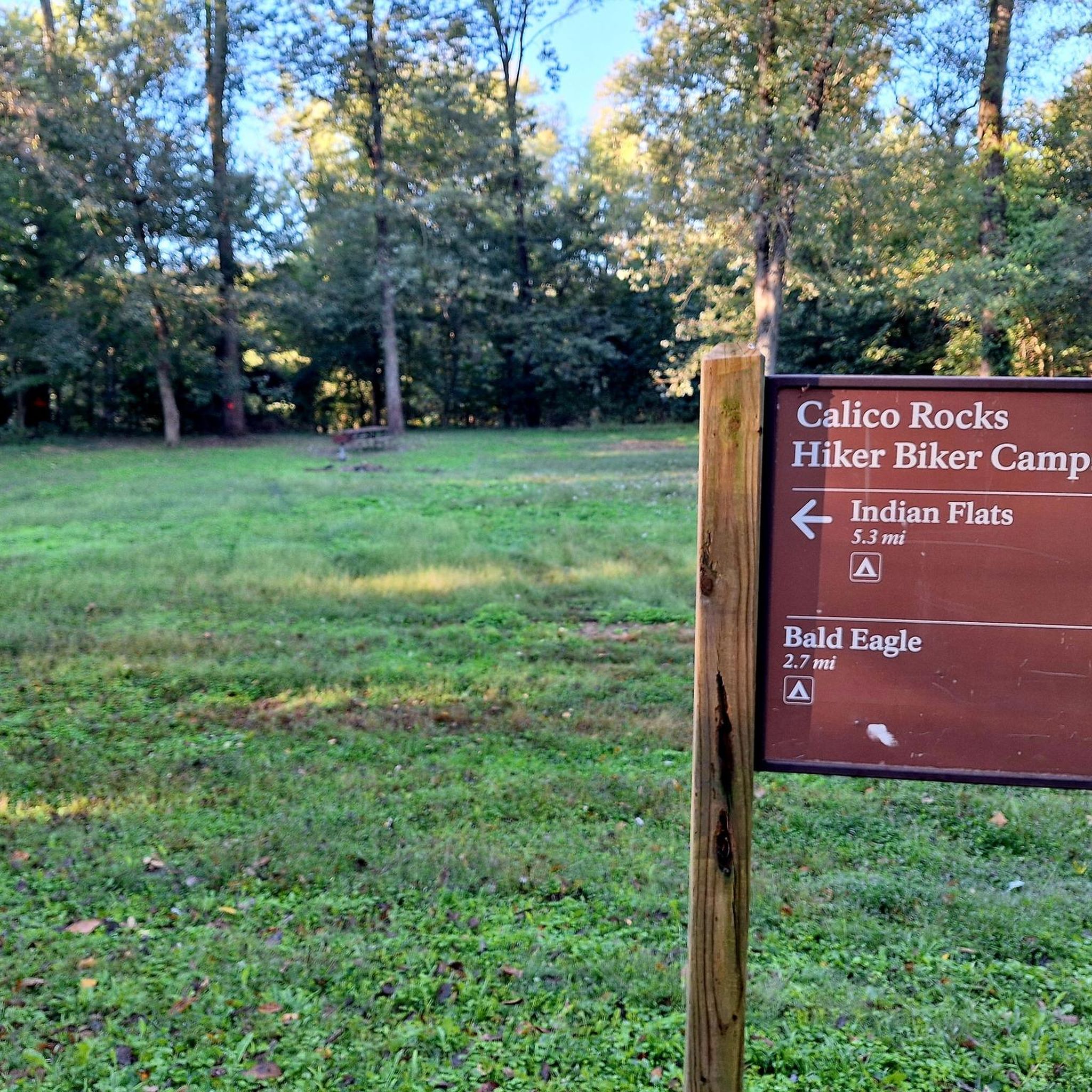
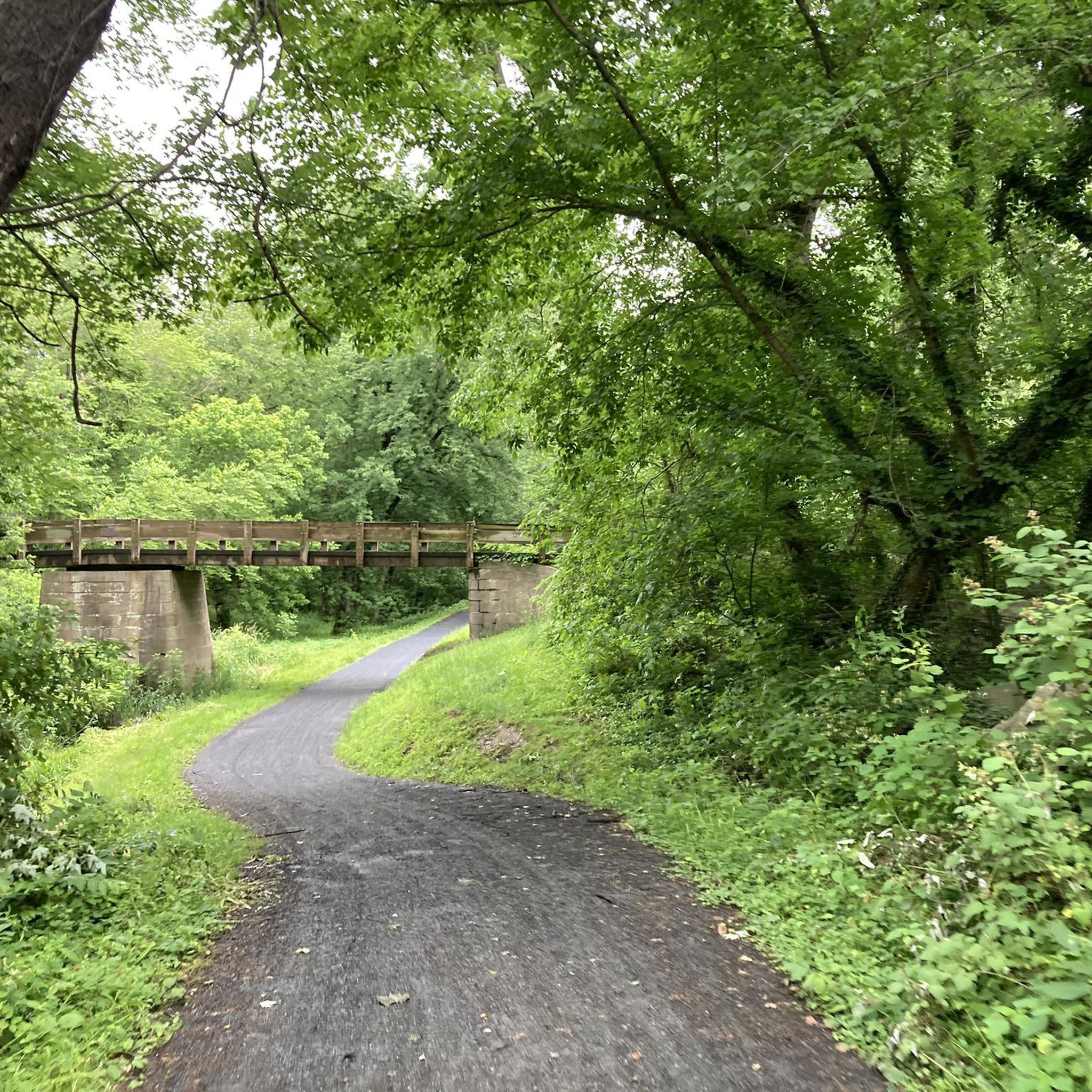

Tips from the Community

Goosecup is a coffee shop, located in Leesburg, VA. It is is a popular spot with locals and visitors alike and is known for its coffee and cozy atmosphere.
0
0

Picturesque gentle climb on the W&OD, a reminder that this was a railway for years and years
0
0

Constructed in 1937, this fourteen-span bridge gracefully spans the Potomac River in the charming community of Point of Rocks, Maryland. It offers a picturesque backdrop for picnics, fishing, kayaking, walking, and cycling, making it an ideal destination for families as well.
0
0
The Leesburg Quarry is a historical site right off the Washington & Old Dominion Trail. This paved multi-use trail is about 45 miles and is a great way to ride around the area free of cars. There is a historical marker right off the trail in front of the old quarry. In the 1860s, the railroad's arrival spawned businesses like the Leesburg Lime Company, operating here since 1868. Using dynamite, quarriers extracted limestone, later burned in kilns. The company supplied farmers with fertilizer and builders with plaster. Its decline came when bluestone from the eastern county proved more durable for roads.
0
0

At 582 feet, Clarkes Gap, was the highest point on the Washington & Old Dominion Railroad. The stone bridge dates from the 1870s, but instead of a railway line now going underneath, there is a recreational trail and this is a super trail for cycling.
0
0

The former town hall is now a museum showcasing Poolesville's historic role during the Civil War. The museum displays artifacts found in the town and surrounding areas, encampment replicas, as well as drawings and pictures of individuals connected to Poolesville.
1
0
Barnsville is a quaint town consisting of two churches, a post office, and fewer than 200 residents. The town is known for its small-town character, scenic vistas, and rolling farmland.
0
0
This 2.2-acre park is located on the banks of the Potomac River and offers a picnic shelter, restrooms, historic storyboards, and water fountains.
0
0
Frequently Asked Questions
How many road cycling routes are available around Point Of Rocks?
There are 9 road cycling routes around Point Of Rocks listed on komoot, offering a range of experiences for different skill levels.
What kind of terrain can I expect on road cycling routes near Point Of Rocks?
Road cycling around Point Of Rocks offers varied terrain. You'll find routes along the relatively flat C&O Canal Towpath, which follows the Potomac River, as well as routes venturing into surrounding river valleys and hills that feature more significant elevation changes.
Are there challenging road cycling routes in the Point Of Rocks area?
Yes, Point Of Rocks offers several challenging road cycling routes. For instance, the South Mountain loop is a moderate 43.8-mile (70.5 km) path with significant elevation gain, providing a demanding ride through varied landscapes. There are 4 difficult routes available on komoot.
Are there any easy or family-friendly road cycling routes?
Yes, there are easy options suitable for a more relaxed ride. The Rocky Point Creamery loop from Point of Rocks is an easy 13.4-mile (21.6 km) trail. Additionally, the C&O Canal Towpath, accessible from Point of Rocks, offers a relatively flat and scenic experience, which can be suitable for families, though it is a gravel surface.
What historical landmarks or natural features can I see along the road cycling routes?
Many routes in the area offer views of significant historical structures and natural beauty. You can encounter the impressive 19th-century engineering of the Monocacy Aqueduct and the Catoctin Creek Aqueduct along the C&O Canal. Another historical site is Lock 27, Spinks Ferry, featuring a restored stone lockhouse. The Potomac River itself and the adjacent C&O Canal National Historical Park provide a scenic natural backdrop.
Is the C&O Canal Towpath suitable for road bikes?
While the C&O Canal Towpath is a popular cycling destination, it is primarily a gravel surface. Road bikes with wider tires might manage, but it is generally more suited for gravel bikes or mountain bikes for comfort and traction over its 184.5-mile length.
Where can I find parking for road cycling routes in Point Of Rocks?
The Point of Rocks Community Commons Park, located near the historic train station along the Potomac River, offers amenities like picnic shelters, restrooms, and trails, making it a convenient starting or resting point with parking available.
What do other road cyclists enjoy most about road cycling in Point Of Rocks?
The area is highly rated by the komoot community, with an average score of 3.0 stars. Reviewers often praise the varied terrain, from gentle riverside paths to more challenging routes with notable elevation, and the scenic beauty of the Potomac River and historic aqueducts.
Are there any loop routes for road cycling?
Yes, many of the road cycling routes around Point Of Rocks are designed as loops. Examples include the Poolesville/Barnesville loop, the South Mountain loop, and the Rocky Point Creamery loop from Point of Rocks, providing circular journeys back to your starting point.
What is the best time of year for road cycling in Point Of Rocks?
The spring and fall seasons generally offer the most pleasant conditions for road cycling in Point Of Rocks, with milder temperatures and beautiful foliage. Summer can be warm and humid, while winter may bring colder temperatures and potential for ice or snow, especially on less-trafficked roads.
Are there any routes that connect Point of Rocks to other towns or regions?
Yes, the area serves as a gateway to longer routes. The C&O Canal Towpath, accessible from Point of Rocks, can lead to destinations like Georgetown (a nearly 80 km ride). Other routes connect Point of Rocks to areas such as Smithsburg and Fayetteville, offering opportunities for extended rides.
Most popular routes around Point Of Rocks
Most popular attractions around Point Of Rocks

Get inspired with the komoot mobile app


Explore more
Browse the best Road cycling routes in other regions.
