The best walks and hikes around North Bethesda
4.8
(247)
3,210
hikers
117
hikes
Hiking around North Bethesda, Maryland, offers diverse landscapes characterized by extensive park systems, riverside towpaths, and shaded woodland trails. The region features a mix of paved urban pathways and natural surface trails, suitable for various fitness levels. Terrain generally includes gentle gradients, with some routes offering moderate elevation changes. Natural features include waterways like Rock Creek and the Potomac River, along with mature woodlands.
Best hiking trails around North Bethesda
- The most popular hiking route is Cabin John Trail, a 2.4 miles (3.9 km) trail that takes 1 hour to complete. This easy route winds through the wooded terrain of Cabin John Regional Park.
- Another top favourite among local hikers is Rock Creek Hiker-Biker Trail, a moderate 7.5 miles (12.0 km) path. This trail traverses wooded corridors and meadows within Rock Creek Stream Valley Park.
- Local hikers also love the Matthew Henson Trail, a 7.2 miles (11.6 km) trail leading through varied parkland, often completed in about 3 hours.
- Hiking around North Bethesda is defined by extensive park systems, riverside towpaths, and shaded woodland trails. The network of routes provides options for both casual walks and longer, more moderate hikes.
- The routes in North Bethesda are highly rated by the komoot community with an average score of 4.7 stars from over 200 reviews. More than 2,700 hikers have used komoot to explore North Bethesda's varied terrain.
Last updated: September 28, 2026
1
hikers
12.0km
03:02
20m
30m
Hike the 7.4-mile Rock Creek Hiker-Biker Trail, a moderate route through wooded corridors and meadows in Rock Creek Stream Valley Park.
36.3km
09:32
280m
320m
Embark on the Cabin John Trail for a long, immersive journey through Montgomery County's varied landscapes. This difficult 22.6-mile (36.3 km) hiking route, with 909 feet (277 metres) of elevation gain, winds along the Cabin John Creek, offering natural surfaces, some technical "rock-hopping" sections, and picturesque wooden bridges. Expect to spend around 9 hours and 31 minutes traversing lush stream valleys and dense woodlands, where the atmosphere can be "eerily quiet" in winter, providing a true escape into nature.
Planning your visit to the Cabin John Trail is straightforward, though caution is advised as the route crosses several major roads. The trail is well-marked with blue dashes, making navigation easy. Dogs are permitted but must remain on a leash, and the section south of River Road is exclusively for hikers. You can access amenities like playgrounds and picnic areas at Cabin John Regional Park, which serves as a convenient trailhead.
This extensive trail system stretches for nearly 9 miles along the Cabin John Creek, from Rockville to the Potomac River, offering a surprising sense of solitude despite its proximity to urban areas. A unique highlight is the chance to spot a Frank Lloyd Wright-designed house from the 1950s, discreetly positioned atop a hill within the woods. The trail's diverse terrain and natural beauty make it a notable option for those seeking a challenging and rewarding hike in the region.

3.10km
00:49
20m
20m
This easy 1.9-mile (3.1 km) section of the Rock Creek Trail in Montgomery County offers a refreshing escape into nature, even within its urban surroundings. You'll wander through serene woodlands, shaded by towering oaks and maples, with the sweet scent of mountain laurel in the air. The path itself is a gentle mix of paved and dirt-and-gravel sections, following the Rock Creek valley and crossing the water multiple times, making for a pleasant 48-minute outing with just 80 feet (24 metres) of elevation gain.
Planning your visit is straightforward, as this trail is well-equipped for hikers. Amenities like drinking water and restrooms are available at various points along the broader Rock Creek Hiker-Biker Trail system. If you prefer a car-free experience, consider visiting on weekends or holidays when Beach Drive is closed to vehicles, creating a more relaxed atmosphere for walkers. Parking is generally accessible, but an early start is recommended to avoid crowds.
This trail is part of an extensive network that blends natural beauty with urban convenience, offering a chance to spot eastern gray squirrels, white-tailed deer, and various bird species. Its blend of easy terrain and natural scenery makes it a popular choice for families and beginners, providing a quick dose of tranquility without venturing far from the city.
4.71km
01:14
40m
20m
Embark on an easy urban hike along the Bethesda Trolley Trail, a paved route that follows an old streetcar line. This 2.9-mile (4.7 km) path offers a smooth surface as you journey through Montgomery County, Maryland. You will gain 142 feet (43 metres) in elevation, making it a gentle outing that takes about 1 hour and 13 minutes to complete. As you go, you will pass by the National Institutes of Health (NIH) Campus, experiencing a pleasant escape within the city.
The Bethesda Trolley Trail is an excellent choice if you are looking for an accessible route suitable for families. It functions as both a recreational path and a vital commuter link, connecting the communities of Bethesda and Rockville. The paved surface ensures a comfortable experience for a wide range of users. Consider this trail for a convenient and enjoyable outing close to urban amenities.
This trail holds a unique place in the region, largely tracing the path of an old streetcar line. A notable feature is the series of pedestrian and cyclist-only bridges that span major highways, offering unique viewpoints and seamlessly connecting neighborhoods. You can also link up with other regional trails, such as the Capital Crescent Trail, if you wish to extend your adventure.
5.0
(2)
5
hikers
5.26km
01:23
40m
40m
Hike the easy 3.3-mile Cabin John Trail Loop in Cabin John Regional Park, featuring lush woodlands and views of Cabin John Creek.
Get access to more routes and recommendations from other explorers.
Already have an account?
Our route recommendations are based on thousands of hikes, rides, and runs completed by other people on komoot.
Start today with a free account
Your next adventure awaits.

Tips from the Community

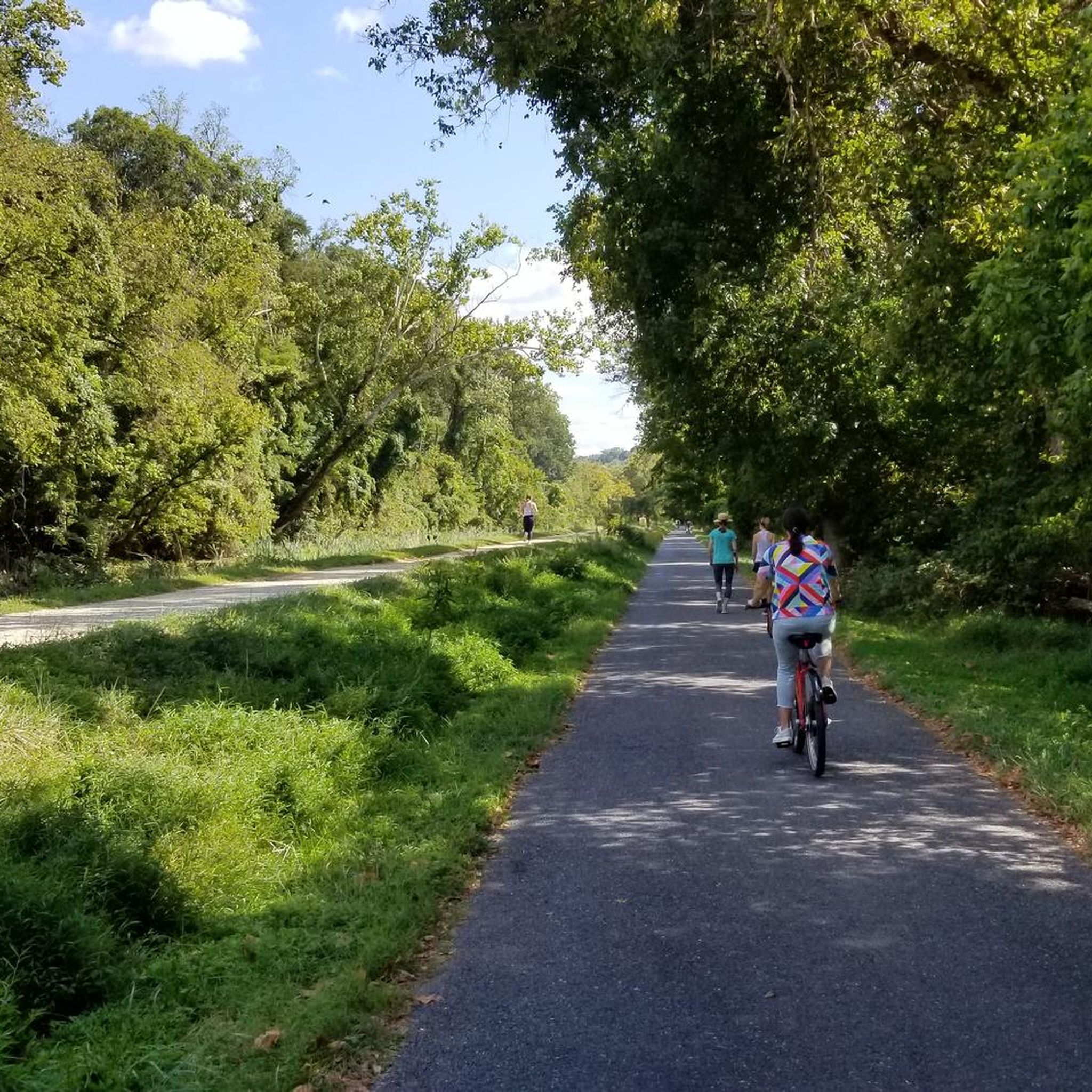
Rock Creek winds through the forest, even passing near downtown Bethesda. A paved multi-use path follows alongside, weaving through the woods and connecting several parks—a nice, shaded stretch for an easy ride.
0
0

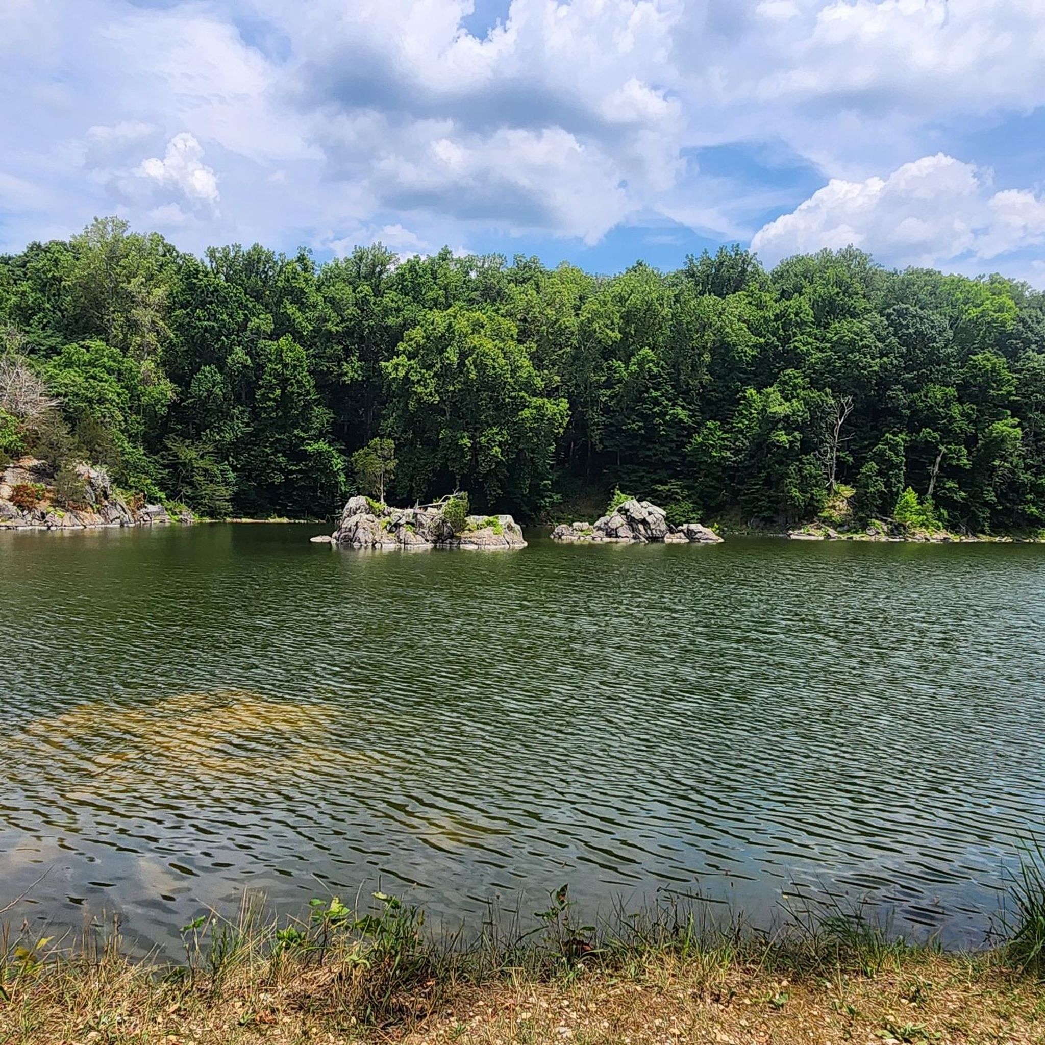
With its shady trails, playgrounds, and gentle creek, Cabin John Park is a local favourite for everything from peaceful walks to family picnics—where nature and community come together just outside the city.
0
0
Meadowbrook Stables is a peaceful equestrian escape nestled in Rock Creek Park, Meadowbrook Stables offers lessons, trail rides, and the chance to watch riders in training. Even if you're not riding, it’s a scenic detour on a cycling or walking route, with horses grazing near the path and the quiet rustle of the woods make this spot feel a world away from DC. Best visited in the early morning or late afternoon for golden light and fewer crowds.
0
0

Established in 1934, Meadowbrook Stables is a historic horseback riding school located along the Rock Creek Trail. Visitors are welcome to enjoy the grounds during summer hours, except for when the stables are closed on Sundays. For safety, only riders and staff may access the barn. Guests can greet horses in the outdoor stalls and enjoy the picnic area.
1
0

One of the few water fountains on beach drive
0
0

This park has something for every kind of outdoor enthusiast, from athletic fields and ice skating to picnic tables and a nature center for the kids. With over 5 miles of trails, you'll have plenty of space to explore as well.
0
0
This park has something for every kind of outdoor enthusiast, from athletic fields and ice skating to picnic tables and a nature center for the kids. With over 5 miles of trails, you'll have plenty of space to explore as well.
0
0
This is a wooded escape from the city with plenty of shade and a creek crossing to make it interesting. It's very well maintained and marked, making it an easy and peaceful hike.
0
0
Frequently Asked Questions
Are there many hiking trails to choose from around North Bethesda?
Yes, there are over 80 routes to explore in the North Bethesda area. The selection ranges from easy, paved paths suitable for a quick stroll to more moderate woodland trails for a longer day out.
What do other hikers think of the trails in North Bethesda?
The area is highly rated by the komoot community, with an average score of 4.8 stars from over 140 reviews. Hikers often praise the mix of accessible urban trails and the serene, wooded paths found in the region's many parks.
Are there any easy, family-friendly hikes in the area?
Absolutely. The Rockville Civic Center Park loop is a great option for families. It's a relatively short, easy walk through a park setting, making it suitable for all ages and fitness levels.
Can I bring my dog on the trails near North Bethesda?
Many trails in Montgomery County are dog-friendly, provided your dog is on a leash. Parks like Rock Creek Regional Park and Cabin John Regional Park generally welcome dogs on their trails. However, always check the specific park's regulations before you go, as rules can vary.
Are there any challenging hikes for more experienced hikers?
For a more strenuous experience, the Billy Goat Trail in the nearby C&O Canal National Historical Park is a popular choice. It involves rock scrambling and offers rewarding views of the Potomac River. It's a significant step up in difficulty from the local park trails.
What are some popular places to start a hike in North Bethesda?
Several trailheads are local favorites for starting an adventure.
- Cabin John Trailhead: A well-regarded starting point for accessing the natural surface trails that wind through the woods of Cabin John Regional Park.
- Bethesda Trolley Trail: This is a popular paved path, perfect for a walk or bike ride, connecting North Bethesda to Bethesda.
- Capital Crescent Trail: Another highly-rated paved trail that offers longer routes and connects to the historic C&O Canal towpath.
Are there any circular or loop trails available?
Yes, there are several excellent loop trails. For a pleasant walk through woodlands, the Cabin John Trail loop is a great choice. It allows you to enjoy the scenery of the park without having to retrace your steps.
Can I find any hikes with waterfalls near North Bethesda?
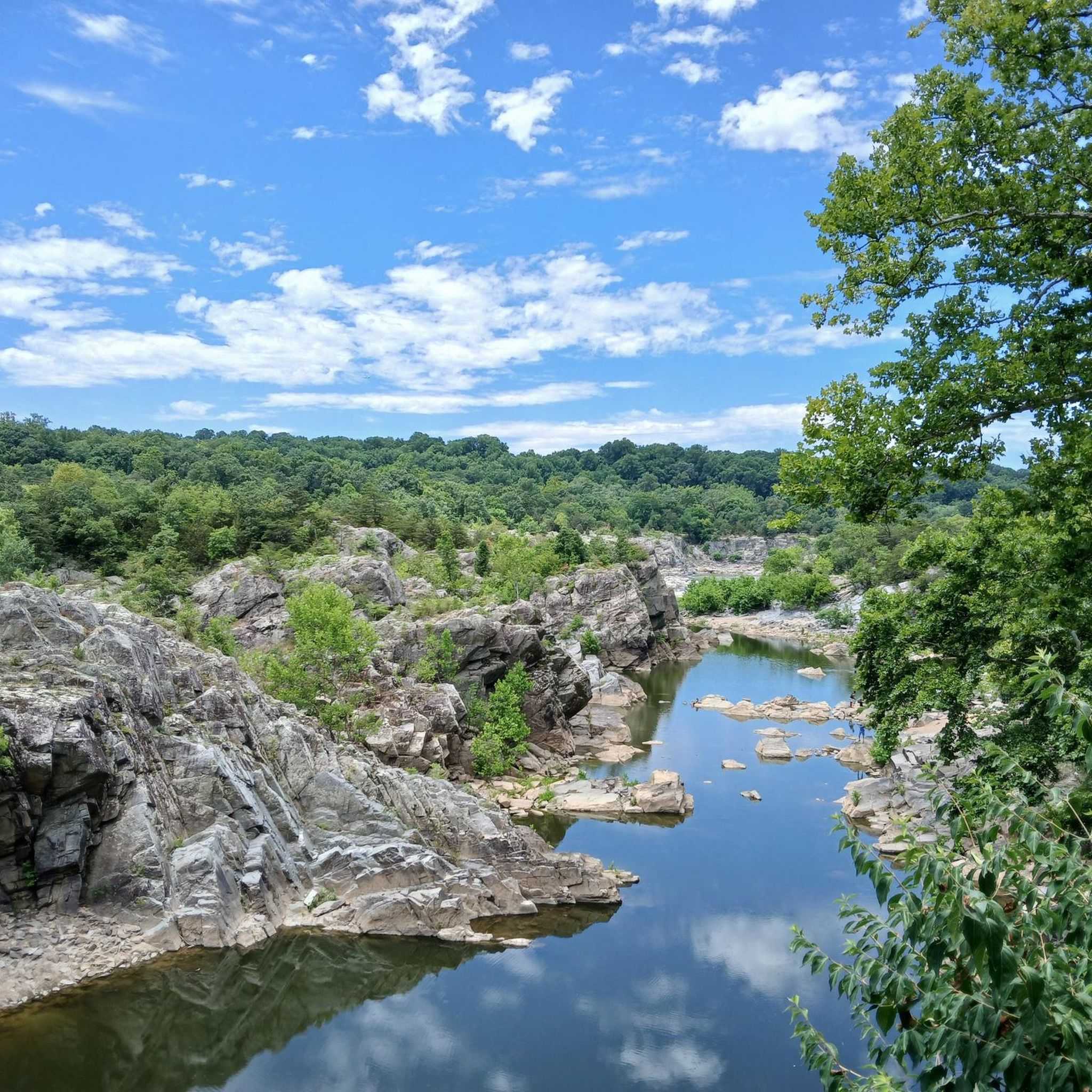
The most dramatic water features in the region are at Great Falls Park, a short drive away. Here you can see the Potomac River cascade over a series of steep, jagged rocks. The park has several trails and overlooks, like the popular Great Falls Overlook Trailhead, to view the falls.
What is the terrain like on the trails?
The terrain is quite varied. You'll find flat, paved paths like the Bethesda Trolley Trail, which are great for accessibility. In parks like Rock Creek and Cabin John, you'll encounter more natural surface trails with gentle hills, dirt paths, and tree roots, offering a more traditional hiking experience.
What is the best time of year to hike around North Bethesda?
Hiking is possible year-round, but spring and autumn are particularly beautiful. Spring offers blooming wildflowers and pleasant temperatures, while autumn provides stunning fall foliage. Summer can be hot and humid, so early morning hikes are recommended. Winter is quieter, but be prepared for colder weather and potentially icy paths.
Are any of the hiking trails accessible by public transport?
Yes, some trails are accessible via the Metro. For example, the Bethesda Trolley Trail and the Capital Crescent Trail have access points near the Bethesda Metro station on the Red Line, making it possible to plan a hike without a car.
What are the parking options for the C&O Canal towpath?
For routes that incorporate the C&O Canal, such as the Bethesda to Chesapeake and Ohio Canal loop, parking is available in downtown Bethesda near the start of the Capital Crescent Trail. There are also designated parking areas along the C&O Canal itself, such as at Great Falls Tavern, though these can fill up on weekends.
Most popular routes around North Bethesda
Most popular attractions around North Bethesda

Get inspired with the komoot mobile app


Explore more
Browse the best Hikes in other regions.
