The best walks and hikes around Camp Springs
4.5
(2)
270
hikers
21
hikes
Hiking around Camp Springs, Maryland, offers access to a network of trails within the community and extends to the broader natural landscapes of Prince George's County. The area features lush green spaces, rolling hills, and river systems such as the Anacostia and Patuxent. These trails provide opportunities to explore woodlands and parklands, connecting to extensive regional trail systems.
Best hiking trails around Camp Springs
- The most popular hiking route is Mount Vernon Trail Loop — Dyke Marsh Wildlife Preserve,…
Last updated: May 11, 2026
2.87km
00:44
10m
10m
Embark on an easy hike along the Anacostia Riverwalk Trail, a paved route that guides you through diverse landscapes of forests, fields, and marshlands. You'll enjoy consistent views of the…
3.80km
00:59
10m
60m
Embark on an easy hike along the Oxon Cove Park Hiker-Biker Trail, a pleasant route spanning 2.4 miles (3.8 km). You will experience a gentle elevation gain of just 22…

Sign up for free
69.4km
17:37
180m
170m
Hike the Anacostia Riverwalk Trail, a difficult 43.1-mile route through Anacostia Park, offering diverse river views and urban landmarks.
1.67km
00:26
10m
0m
The Blue Trail offers an easy hiking experience through the peaceful forested areas of Cosca Regional Park. You can expect a gentle path that makes for a pleasant walk, perfect…
4.0
(1)
10
hikers
8.45km
02:08
10m
10m
Hike the moderate 5.3-mile Mount Vernon Trail and Dyke Marsh Haul Road Trail for river views, wildlife, and a mix of paved and dirt paths.
Get access to more routes and recommendations from other explorers.
Sign up for free
Already have an account?
Our route recommendations are based on thousands of hikes, rides, and runs completed by other people on komoot.
Start today with a free account
Your next adventure awaits.
Login or Signup
Popular around Camp Springs
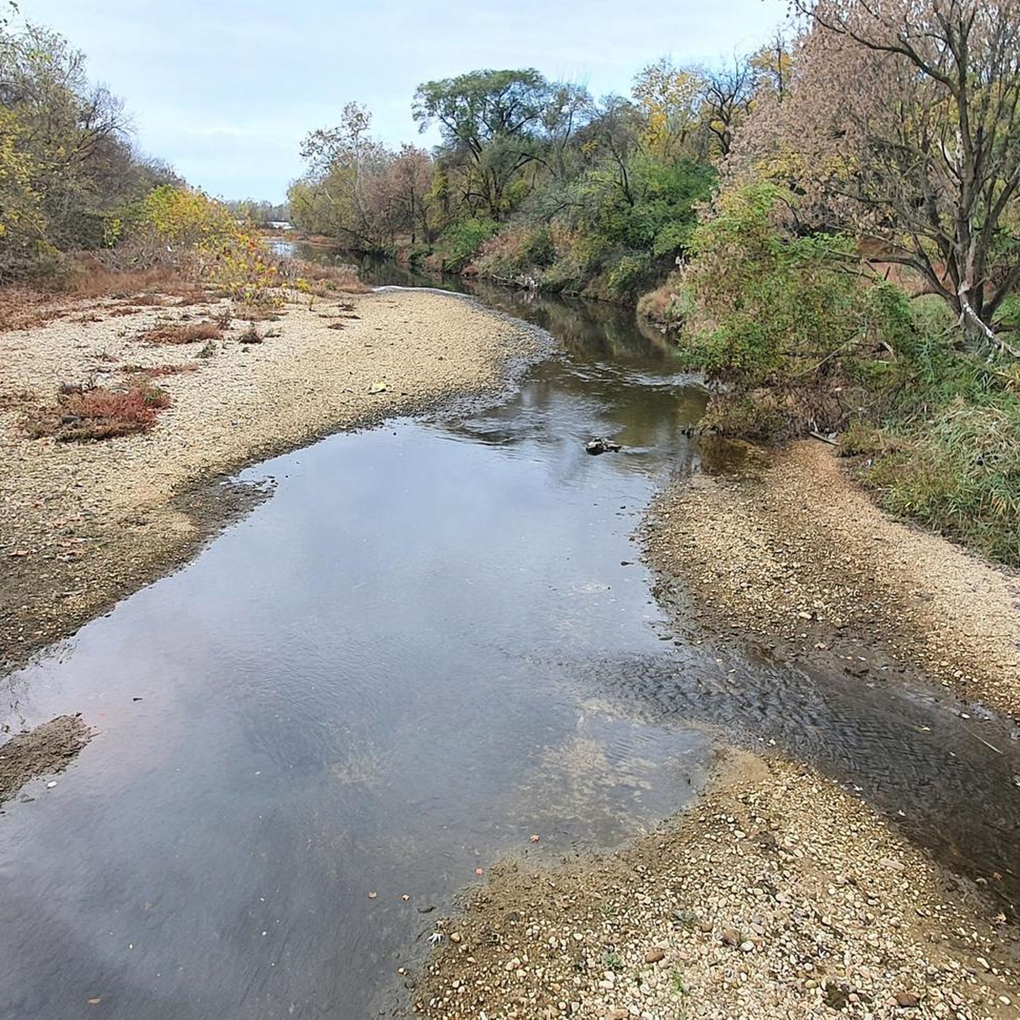
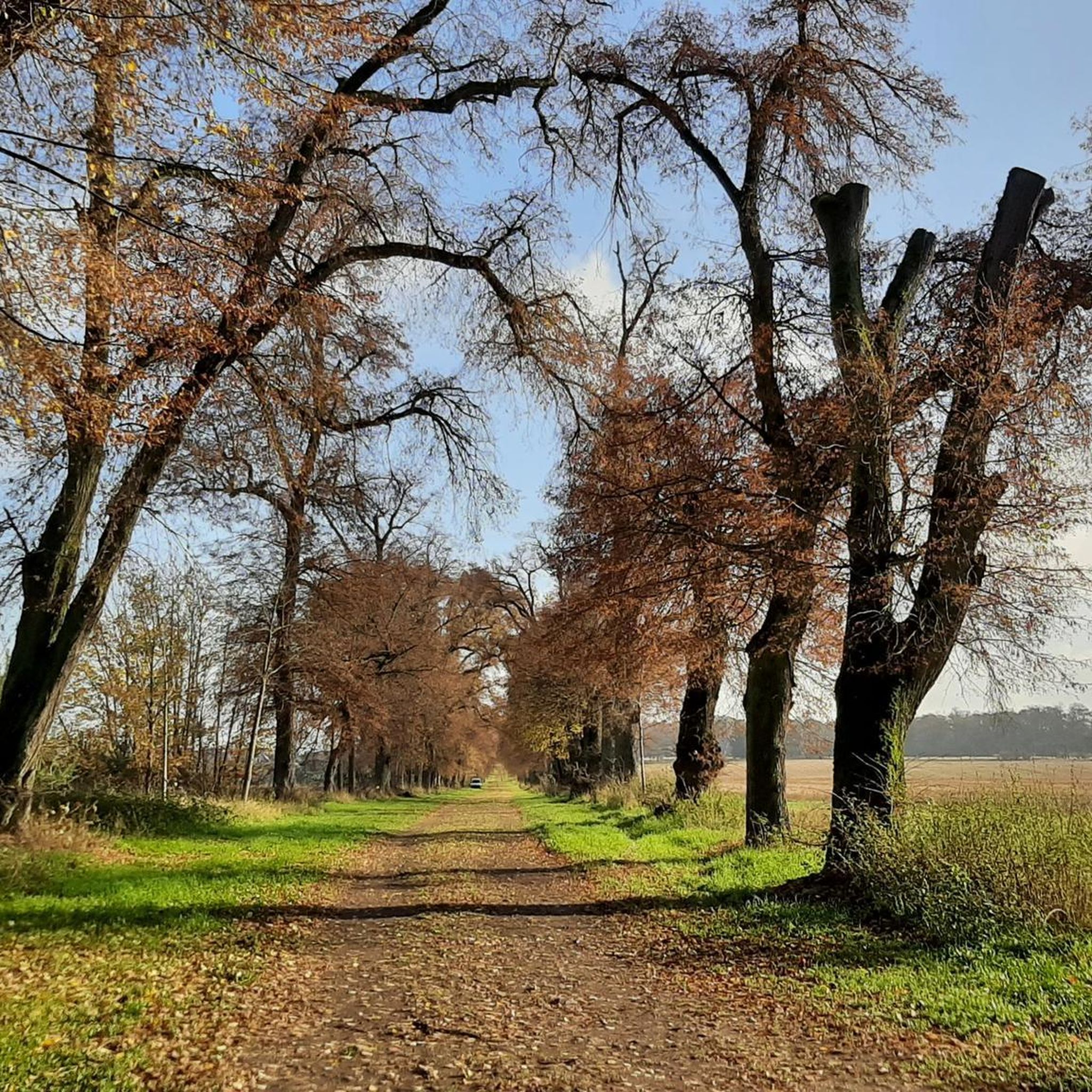
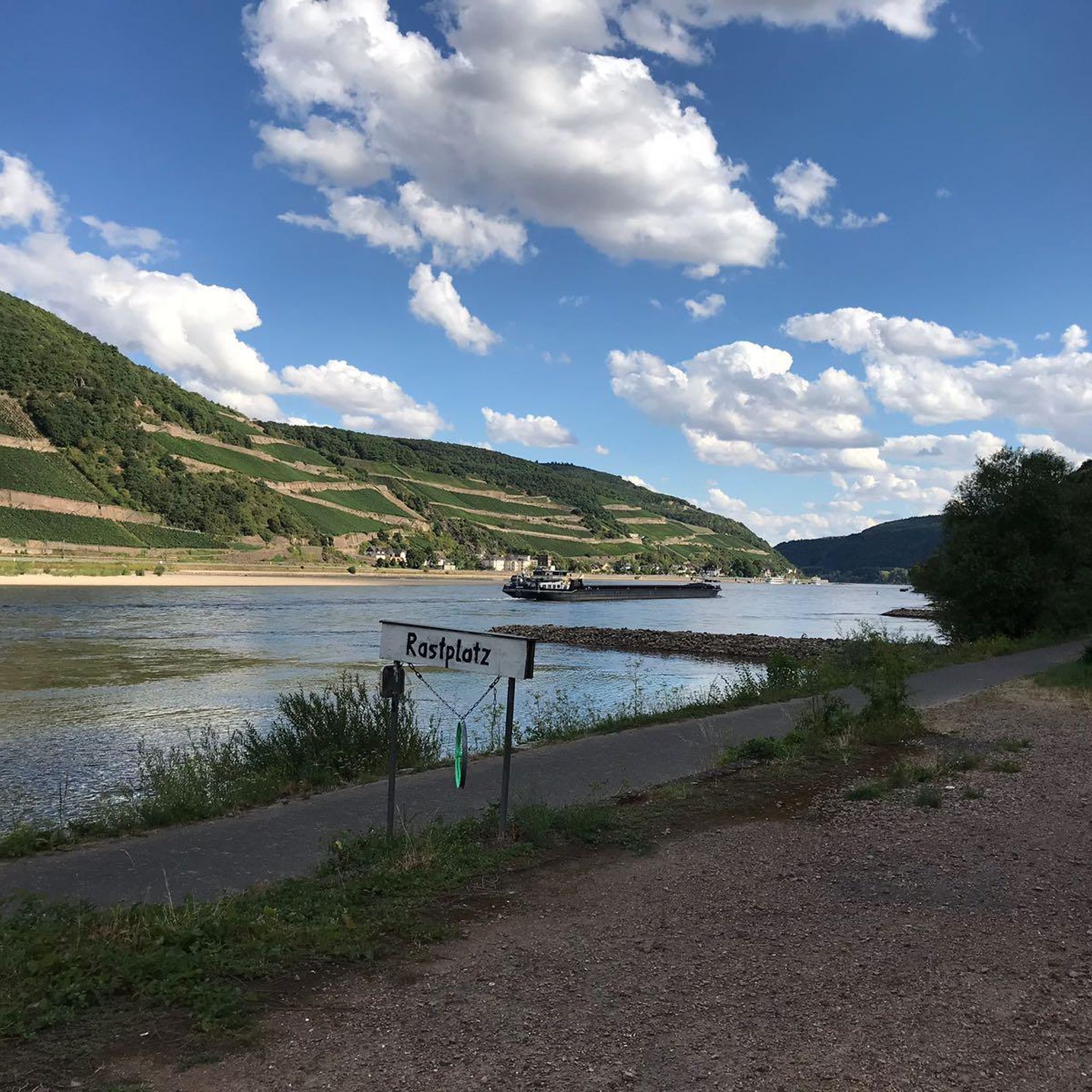
Tips from the Community


Kingman Lake spans 110 acres, situated within the Anacostia River. It was formed in 1920 when the U.S. Army Corps of Engineers used dredged materials from the river to create Kingman Island. This construction significantly altered the river’s flow west of the island, leading to the lake’s formation. To maintain water levels and prevent stagnation, a controlled amount of water continues to flow in, ensuring this beautiful lake remains fresh.
0
0

The Anacostia Riverwalk Trail follows along the Anacostia River from Bladensburg to the Navy Yard, covering 21.5 miles through forests, fields, marshes, and river ecosystems. Ideal for walking, jogging, biking, or dog walking, the paved trail offers scenic views of the Anacostia River and its wildlife. It passes through Anacostia Park and Kenilworth Aquatic Gardens and connects to five bridges and several city bike routes. The trail features asphalt, boardwalk, brick, and concrete surfaces, with access points at Hyattsville, MD, and The Wharf in D.C.
0
0

From this spot you get a fantastic view of the Frederick Douglass Memorial Bridge. The bridge was completed in 2021 and is a large, striking through arch bridge spanning South Capitol Street over the Anacostia River in Washington, D.C. Replacing the 1950 South Capitol Street Bridge, which was renamed in honor of abolitionist Frederick Douglass in 1965, the new structure features three sets of parallel white arches, six lanes, bicycle and pedestrian paths, and an esplanade. Construction began in 2018, aligning with Douglass' bicentennial, and the bridge opened in stages in September 2021. The old bridge was dismantled in early 2021, completing the project and marking it as the largest public works initiative in D.C. history.
0
0
This 690-acre park offers a variety of outdoor activities, including a beautiful lake surrounded by a nice trail, picnic tables and restrooms, great hiking trails through the expansive wooded area, paddle boats, campsites, and picnic shelters. The park also features a playground and a nature center where you can see wild birds of prey, including a bald eagle. Additionally, there's a tennis bubble, skate ramp, baseball fields, playgrounds, and cookout sites. It's a favorite spot for dog owners, with dog-friendly facilities and pleasant trails to walk your pets.
0
0

Belle Haven Park is a small park along the banks of Cameron Run. This park is operated by the National Park Service and houses sections of the Mount Vernon Trail and the Dyke Marsh Trail.
0
0


Anacostia riverwalk trail is very long. It goes from Maryland to DC and connects to trail In Virginia aswell.
0
0
Frequently Asked Questions
How many hiking trails are available around Camp Springs?
There are over 20 hiking routes available around Camp Springs, offering a variety of experiences for different skill levels. The area provides access to a network of local trails and extends into the broader natural landscapes of Prince George's County.
What is the best time of year to go hiking in Camp Springs?
The lush green spaces and quiet surroundings of Camp Springs make it enjoyable for hiking throughout much of the year. Spring and fall offer pleasant temperatures and vibrant scenery, while summer provides opportunities to explore shaded woodlands. Winter hikes can also be rewarding, especially on clear days.
Are there easy hiking trails suitable for beginners in Camp Springs?
Yes, Camp Springs offers several easy hiking options perfect for beginners or those seeking a leisurely walk. For example, the Green & Blue Trail loop — LP Cosca Regional Park is an easy 3.1-mile path through varied woodlands. Another accessible option is the Cosca Yellow Trail loop — LP Cosca Regional Park, which is 2.9 miles long.
Are there longer, more challenging hikes near Camp Springs?
While most trails directly in Camp Springs are easy to moderate, you can find longer, more challenging routes nearby. The Fort Dupont Park to Fort Mahan Park loop — Washington, D.C, for instance, is a moderate 7.1-mile hike with significant elevation changes, offering a more strenuous experience.
Can I bring my dog on the hiking trails around Camp Springs?
Many trails in Prince George's County parks, including those accessible from Camp Springs, are dog-friendly. However, it's always best to check specific park regulations before you go. Generally, dogs should be kept on a leash and owners are expected to clean up after their pets.
Are there family-friendly hiking options near Camp Springs?
Absolutely. The local parks and trails around Camp Springs, such as those within Surrattsville Park and Camp Springs Park, offer shorter, well-maintained paths suitable for families with children. The easy loops at Cosca Regional Park are also excellent choices for a family outing.
What kind of landscapes or natural features can I expect to see on hikes near Camp Springs?
Hiking around Camp Springs and Prince George's County offers diverse landscapes. You'll encounter lush forests, rolling hills, and accessible river systems like the Anacostia and Patuxent. Trails often wind through woodlands, wetlands, and open parklands, providing scenic views and opportunities to observe local wildlife.
Is parking available at the trailheads in Camp Springs?
Yes, most parks and trailheads in and around Camp Springs, including those at Cosca Regional Park and other Prince George's County parks, offer designated parking areas for hikers. It's advisable to check specific park websites for detailed parking information.
How can I reach the hiking trails around Camp Springs using public transport?
Camp Springs has some public transport options, primarily bus routes, that can connect you to nearby parks and trail access points. For trails further afield, such as parts of the Anacostia River Trail System, you might need a combination of bus and metro services, especially if traveling from Washington, D.C.
What interesting places or landmarks can I explore near the hiking trails?
Beyond the trails, you can explore several interesting spots. Near the Potomac River, you might visit Oxon Cove Park Trail or Belle Haven Park. For historical interest, the Contrabands and Freedmen Cemetery Memorial is also accessible. Many trails also lead through or near local parks like Cosca Regional Park, which features natural attractions.
Are there places to eat or stay near the hiking trails in Camp Springs?
Camp Springs offers various local amenities, including dining options and accommodations, catering to visitors. You'll find a selection of restaurants and hotels within the community, providing convenient choices for pre- or post-hike meals and overnight stays.
What do other hikers say about the trails in Camp Springs?
The trails around Camp Springs are highly rated by the komoot community, with an average score of 4.25 stars from 3 reviews. Hikers often praise the accessibility to diverse natural settings, from riverfront paths to quiet woodlands, and the variety of options for different fitness levels.
Are there any circular hiking routes in the Camp Springs area?
Yes, several circular routes are available, making it easy to start and end your hike at the same point. The Green & Blue Trail loop — LP Cosca Regional Park and the Cosca Yellow Trail loop — LP Cosca Regional Park are both popular loop trails that offer a complete experience without retracing your steps.
Most popular routes around Camp Springs
Most popular attractions around Camp Springs

Get inspired with the komoot mobile app


Explore more
Browse the best Hikes in other regions.
