The best road cycling routes around Brookmont
4.5
(242)
10,479
riders
140
rides
Road cycling routes around Brookmont feature a diverse landscape, primarily characterized by established trails, parkland, and riverside paths. The terrain generally consists of gentle inclines and rolling hills, with elevations typically under 200 meters. Routes often follow historic pathways and connect various green spaces, offering a mix of natural scenery and urban park environments. This area provides accessible road cycling experiences suitable for various skill levels.
Best road cycling routes around Brookmont
- The most popular road cycling route is Key…
Last updated: August 12, 2026
5.0
(9)
114
riders
Moderate road ride. Great for any fitness level. Some segments of this route may be unpaved and difficult to ride.
4.5
(4)
237
riders
76.9km
03:24
600m
600m
Moderate road ride. Good fitness required. Mostly well-paved surfaces and easy to ride.

Sign up for free
15
riders
Moderate road ride. Good fitness required. Some segments of this route may be unpaved and difficult to ride.
23
riders
18.1km
00:54
70m
70m
Moderate road ride. Great for any fitness level. Some segments of this route may be unpaved and difficult to ride.
21
riders
48.2km
02:10
460m
460m
Moderate road ride. Good fitness required. Mostly well-paved surfaces and easy to ride.
Get access to more routes and recommendations from other explorers.
Sign up for free
Already have an account?
Our route recommendations are based on thousands of hikes, rides, and runs completed by other people on komoot.
Start today with a free account
Your next adventure awaits.
Login or Signup
Tips from the Community

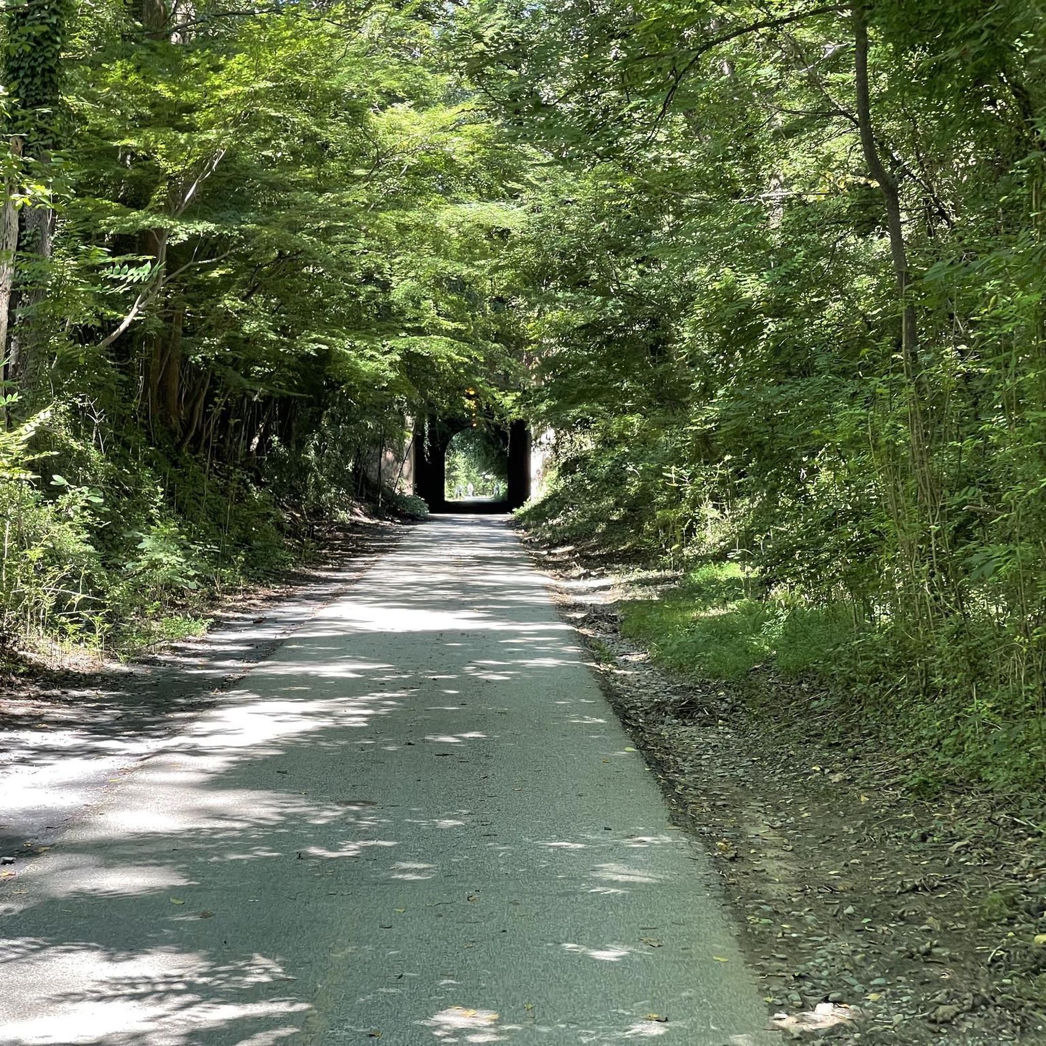
West End Park sits right off the W&OD—an easy spot to roll in, catch some shade, and take a quick break. The path has a few root bumps, so slow down and enjoy the greenery. There’s also a water fountain where you can refill before getting back on the trail.
1
0

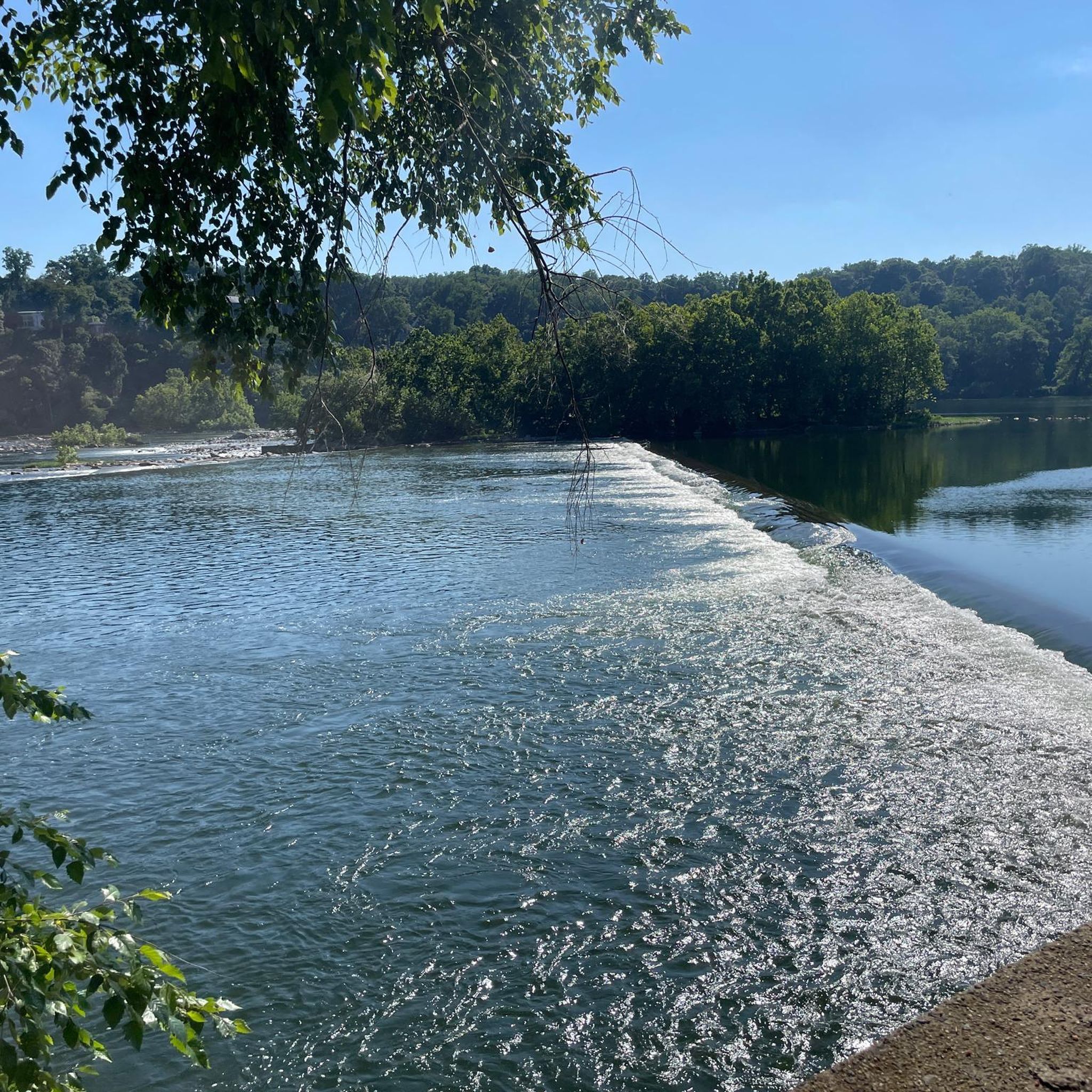
This riverside park protects 630 acres of varied natural resources. You'll find miles of trails to explore the park and can if you follow the Muddy Branch Greenway Trail eastward you can cross the canal and access the C&O Canal towpath.
0
0

Once a working gristmill in the 1800s, Pierce Mill offers a glimpse into early Washington industry amid the woodland calm of Rock Creek Park. Today, its restored stone walls and waterwheel stand as a quiet counterpoint to the city just beyond the trees.
0
0

The final (or beginning) mile of the C&O Canal stands here, next to the Tide Lock on the Potomac, the true birthplace of the canal. The spot is marked with a stone pillar. Stretching from Cumberland to Washington, DC, this route ends at Mile Post 0, where hikers and bikers can definitively mark the start or finish of their journey along the historic canal. The towpath follows the canal’s full 184.5 miles to its Cumberland, MD, terminus, often extending to 333 miles for those who begin in Pittsburgh on the Great Allegheny Passage (GAP) trail.
1
0

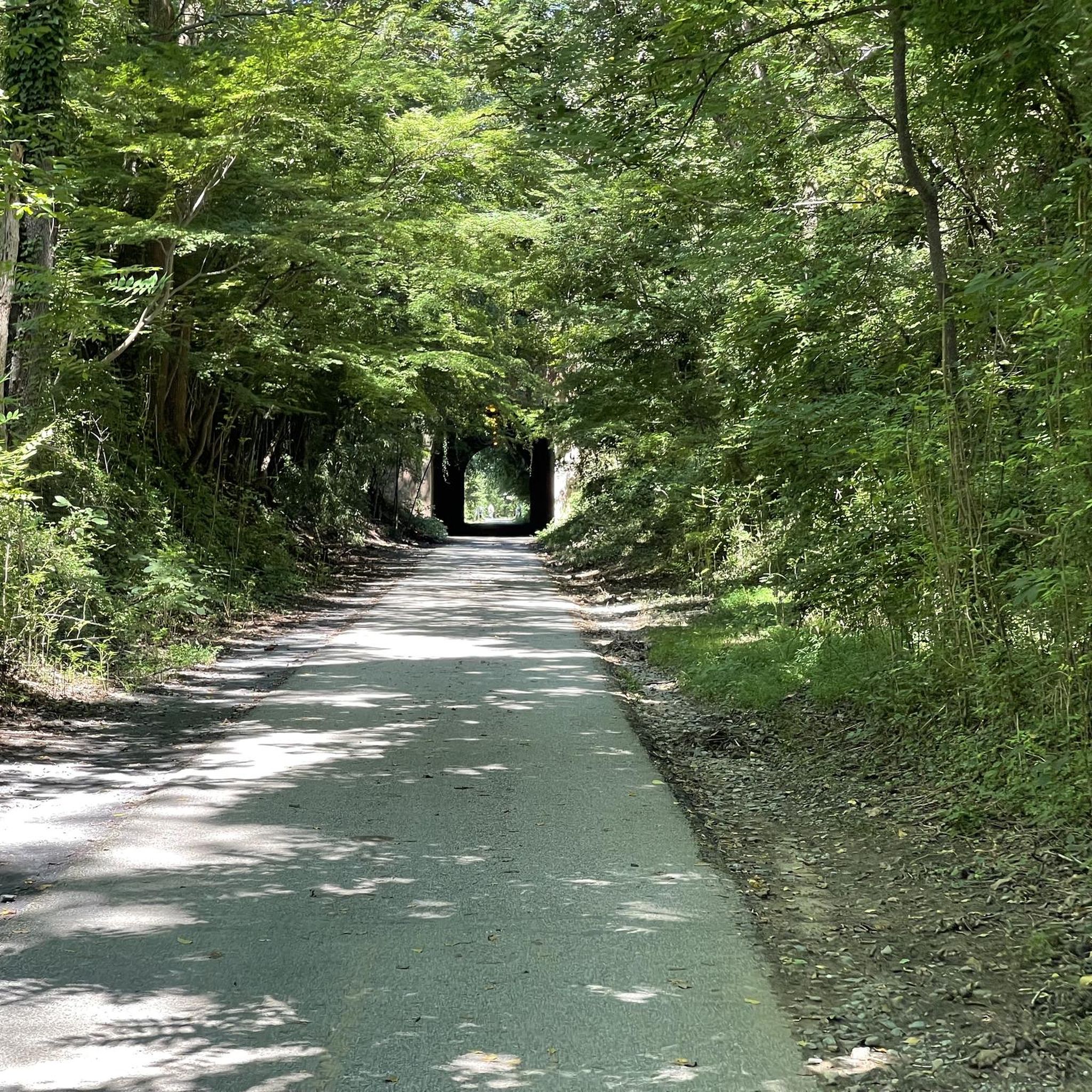
The Capital Crescent Trail follows the north shoreline of the Potomac river downstream into Washington, D.C. Currently the trail is around 7 miles long, but there is an extension planned for the near future.
0
1
This point marks the start of the 185-mile C&O Canal Towpath Trail that runs from Washington D.C. to Cumberland, Maryland. Originally built as a way for mules to tow boats along the canal, it is now converted into a multi-use trail for outdoor enthusiasts of all stripes.
1
0

Nice, small beach along the Capital Crescent Trail. It is a great spot to take a break during your run to cool off and enjoy the peaceful setting.
0
0

From this spot on the Rock Creek Trail you can see the historic Mount Zion Cemetery. This historically significant burial ground is adjacent to the Female Union Band Society Cemetery, which both cover about three and a half acres, and were added to the National Register of Historic Places on August 6, 1975. Mount Zion Cemetery, founded in 1808 as The Old Methodist Burial Ground, initially served both White and Black individuals but became predominantly African American after 1849. The Female Union Band Society Cemetery, established in 1842, was created by freed Black women for their community. Together, these cemeteries reflect the rich African American history of Georgetown.
0
0
Frequently Asked Questions
How many road cycling routes are available in Brookmont?
Brookmont offers a wide selection of road cycling routes, with over 150 options to explore. These routes cater to various skill levels, from easy rides to more challenging paths.
Are there easy road cycling routes suitable for beginners in Brookmont?
Yes, Brookmont has numerous easy road cycling routes perfect for beginners. There are over 60 easy routes, often following established trails and riverside paths with gentle inclines. A great option is the Dalecarlia Tunnel – Fishing Shore Beach loop from Friendship Heights, which is 17.7 km long.
What kind of terrain can I expect on Brookmont's road cycling routes?
The road cycling routes in Brookmont are primarily characterized by established trails, parkland, and riverside paths. The terrain generally features gentle inclines and rolling hills, with elevations typically under 200 meters, offering a mix of natural scenery and urban park environments.
Are there any challenging road cycling routes for experienced riders?
While the majority of routes are easy to moderate, Brookmont does offer a few more challenging options for experienced road cyclists. There are 4 routes classified as difficult, providing a greater test of endurance and skill.
What are the typical lengths and durations of road cycling routes in Brookmont?
Route lengths vary, but many popular rides range from 15 km to over 40 km. For instance, the Key Bridge Boathouse – Capital Crescent Trail loop from Friendship Heights is 25.6 km and takes about 1 hour 11 minutes, while the Rock Creek Trail – Thomas Jefferson Memorial loop from Friendship Heights is 42 km and typically takes around 1 hour 56 minutes.
Are there circular road cycling routes available in Brookmont?
Yes, many of the road cycling routes in Brookmont are designed as loops, allowing you to start and finish at the same point. Examples include the Glen Echo Park – Angler's Inn parking lot loop from Brookmont and the Angler's Inn parking lot – Glen Echo Park loop from Friendship Heights.
What can I see along the road cycling routes in Brookmont?
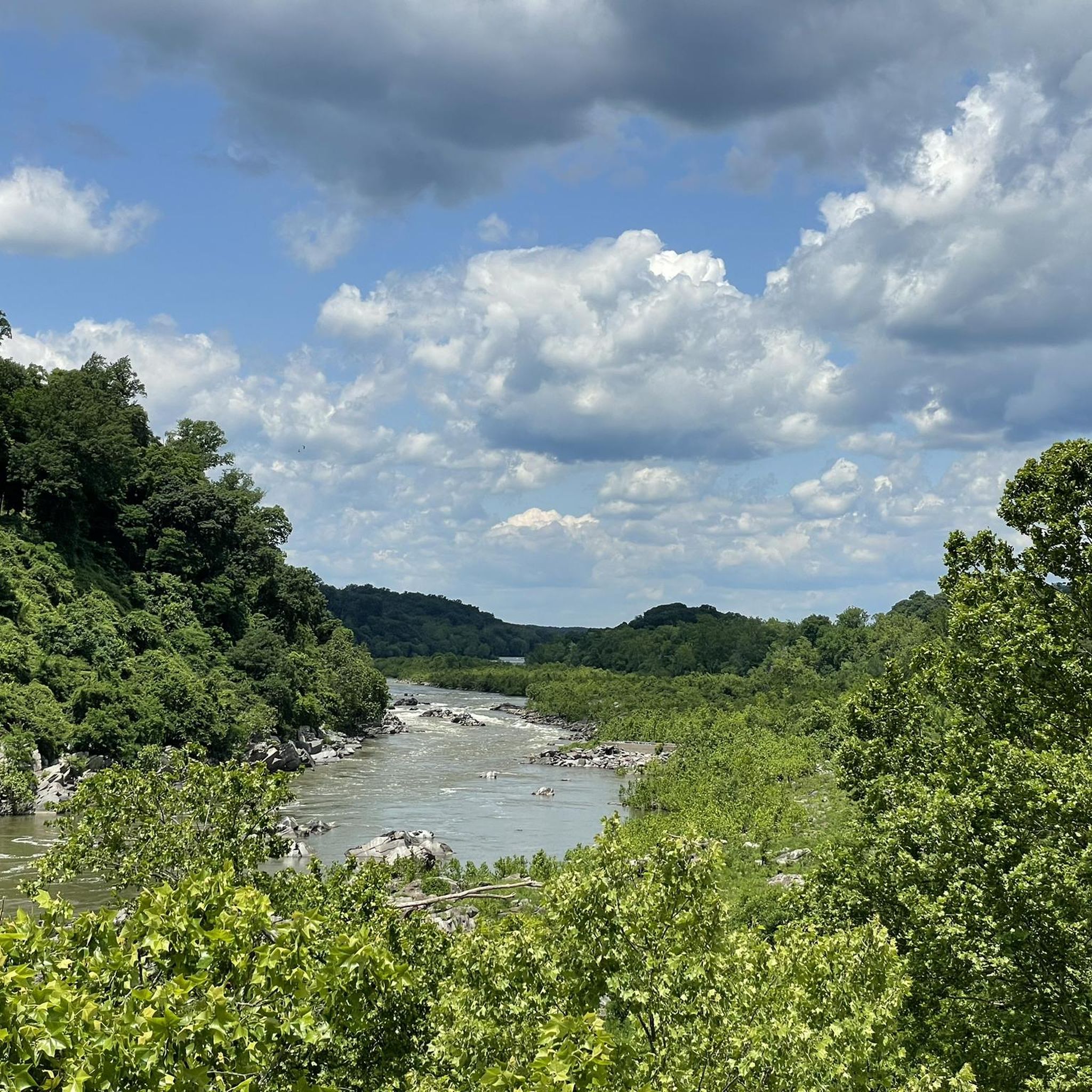
Many routes offer scenic views and pass by notable attractions. You can find viewpoints like Great Falls Overlook and natural features such as the Great Falls of the Potomac River. Some routes also navigate through urban parkland and past historic landmarks.
Are there any waterfalls accessible near the road cycling routes?
Yes, the Brookmont area is home to several beautiful waterfalls. You might encounter Scott's Run Falls or the Dead Run Waterfalls, which are popular highlights in the region.
What do other road cyclists enjoy most about road cycling in Brookmont?
The road cycling experience in Brookmont is highly rated by the komoot community, with an average score of 4.5 stars from over 240 reviews. Cyclists often praise the well-maintained established trails, the diverse scenery of parkland and riverside paths, and the accessibility for various skill levels.
Are the road cycling routes in Brookmont suitable for families?
Many of Brookmont's road cycling routes are well-suited for families, especially the easy and moderate trails that follow established paths and have gentle inclines. These routes offer a safe and enjoyable environment for cyclists of all ages.
Where can I find parking for road cycling routes in Brookmont?
Parking is available at various access points for the routes. For example, the Glen Echo Park – Angler's Inn parking lot loop from Brookmont specifically mentions starting from the Angler's Inn parking lot, indicating convenient access.
Can I find cafes or refreshment stops along the road cycling routes?
While specific cafes are not listed for every route, many routes pass through or near urban areas and parks where refreshment stops are typically available. Planning your route in advance can help identify suitable places for breaks.
Most popular attractions around Brookmont

Get inspired with the komoot mobile app


Explore more
Browse the best Road cycling routes in other regions.
