The best road cycling routes around Bel Air South
3.0
(2)
129
riders
55
rides
Road cycling routes around Bel Air South, Maryland, offer a varied landscape for cyclists. The region features a network of well-maintained trails, including sections of the Ma & Pa Heritage Trail, alongside access to regional parks like Rocks State Park and Gunpowder Falls. These areas provide diverse terrain, ranging from wooded paths and open fields to riverine environments and historic sites. The local infrastructure supports outdoor activities, making it suitable for different cycling preferences and fitness levels.
Best road cycling…
Last updated: June 1, 2026
3.0
(1)
1
riders
65.6km
03:11
660m
660m
Moderate road ride. Good fitness required. Mostly well-paved surfaces and easy to ride.
1
riders
31.0km
01:37
350m
350m
Moderate road ride. Good fitness required. Mostly well-paved surfaces and easy to ride.

11
riders
Moderate road ride. Good fitness required. Some segments of this route may be unpaved and difficult to ride.
10
riders
49.7km
02:20
530m
530m
Moderate road ride. Good fitness required. Some segments of this route may be unpaved and difficult to ride.
8
riders
52.9km
02:19
380m
380m
Moderate road ride. Good fitness required. Mostly well-paved surfaces and easy to ride.
Get access to more routes and recommendations from other explorers.
Already have an account?
Our route recommendations are based on thousands of hikes, rides, and runs completed by other people on komoot.
Start today with a free account
Your next adventure awaits.


Tips from the Community

the big picnic area has restrooms and water-fountains. most likely only on during summer.
0
0

This 297-meter section of Bottom Road is compacted dirt, however it's really well maintained and smooth. Just use caution on really rainy days.
0
0
Great surroundings, however, some parts of the 5.1 mile trail are unpaved. Use caution when going through compacted dirt and crushed stone sections.
0
0
The East Coast Greenway is a 3,000-mile biking and walking trail stretching from Maine to Florida. In Maryland, it covers 163 miles, with 61 miles dedicated to bike paths and the rest on roads shared with vehicles. Highlights include the Jones Falls Trail into Baltimore, the Torrey C. Brown Trail, and the B&A Trail leading to Annapolis. The route traverses historic towns along the Chesapeake Bay. Notably, there is no pedestrian access over the Hatem Bridge for the Susquehanna River crossing, requiring careful planning for bikers.
0
0
Rocks State Park spans 855 acres in northern Harford County, offering rocky forest landscapes. Highlights include the King and Queen Seat, a natural rock outcrop, and Kilgore Falls, Maryland’s second-highest vertical waterfall. The park features three picnic areas and 3.5 miles of hiking trails, with Deer Creek providing opportunities for fishing, wading, and tubing. While biking isn't allowed on the trails, the park's picnic spots make it a pleasant rest area for bikers.
0
0

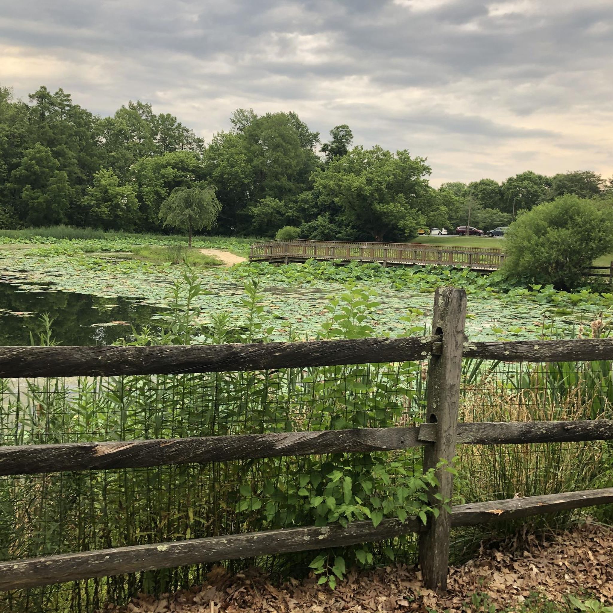
This beautiful river stretches for 14.6 miles, starting north of Fallston at the confluence of the West and East Branches, and continues until it reaches the Atkisson Dam in Bel Air. This is a charming place to stop and take a moment to appreciate the quiet scenery.
0
0
This multiuse trail follows the Maryland and Pennsylvania Railroad corridor, giving it its name. It's an ideal route for a picturesque ride through stunning landscapes and an opportunity to experience the history of Harford County.
0
0

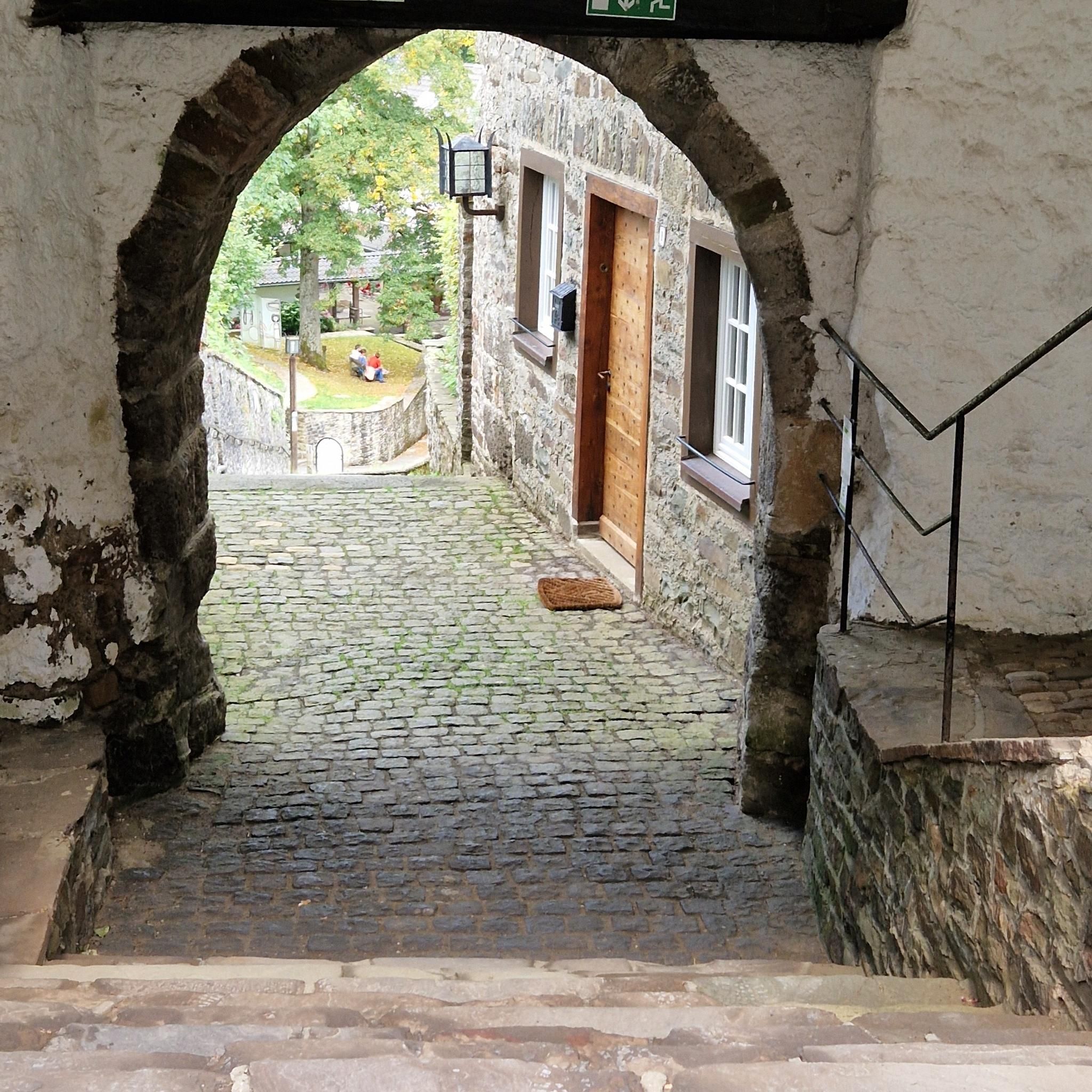
Jerusalem Mill, at the outskirts of Kingsville, operated for about two centuries in the 18th and 19th century. Nowadays, it's the headquarter of the State Park and serves as a visitor center where you can learn everything about the historic place.
0
0
Frequently Asked Questions
How many road cycling routes are available in Bel Air South?
Bel Air South offers a wide selection of road cycling routes, with over 50 different tours available for exploration. These routes cater to various skill levels, from moderate loops to more challenging rides.
What kind of terrain can I expect on road cycling routes in Bel Air South?
The road cycling routes in Bel Air South feature diverse terrain. You'll find scenic paths through wooded areas, open spaces, and along riverine environments. Routes like the Gunpowder Falls and Ma & Pa Trail Loop combine natural habitats with portions of dedicated trails, while the Rocks State Park Area Loop offers a state park environment with significant elevation changes.
Are there any historical landmarks or points of interest along the road cycling routes?
Yes, several routes pass by notable historical sites. For instance, the Jerusalem Mill – Jericho Covered Bridge loop takes you past the historic Jerusalem Mill and the iconic Jericho Covered Bridge. The Rocks State Park Area Loop also integrates with the larger East Coast Greenway network.
Are the road cycling routes in Bel Air South suitable for families?
Many routes in Bel Air South are suitable for families, especially those utilizing dedicated trails. The Ma & Pa Heritage Trail, for example, is a well-loved path frequented by locals for exercise and enjoying nature, making it a good option for family outings. Look for routes described as 'easy' or 'moderate' for the most family-friendly experiences.
Can I bring my dog on road cycling routes in Bel Air South?
While many parks in Bel Air South are dog-friendly for walking, specific regulations for dogs on cycling trails can vary. It's always best to check the rules for individual parks or trails, such as the Ma & Pa Heritage Trail or within Rocks State Park, before heading out with your dog on a bike.
Where can I find parking for road cycling routes in Bel Air South?
Parking is generally available at trailheads and park access points. For the Ma & Pa Heritage Trail, the Williams Street Trailhead Station is centrally located in Bel Air. For routes accessing state parks like Rocks State Park or Gunpowder Falls State Park, designated parking areas are typically provided within or near the park entrances. Always check specific route details for recommended parking locations.
Is public transport available to access cycling trails in Bel Air South?
Public transport options directly to specific cycling trailheads in Bel Air South or Harford County may be limited. It is generally recommended to drive to the starting points of most road cycling routes. For broader regional information on transportation, you might consult local Harford County transit resources.
What is the best time of year for road cycling in Bel Air South?
The spring and fall months generally offer the most pleasant conditions for road cycling in Bel Air South, with mild temperatures and beautiful scenery. Summer can be enjoyable, but be prepared for warmer weather. Winter cycling is possible, but conditions may vary, and some paths might be affected by snow or ice.
Are there cafes or amenities near the road cycling routes?
Bel Air South is a lively suburban area, and you'll find various amenities, including cafes, pubs, and accommodation, particularly near the town center and along major routes. For specific routes like those around Rocks State Park or Gunpowder Falls, you might find amenities in nearby towns or at park visitor centers. Planning your route to pass through or near these areas can ensure access to refreshments.
Do I need any special permits for road cycling in Harford County, MD?
Generally, no special permits are required for road cycling on public roads and designated trails in Harford County, MD. However, it's always a good practice to check the specific regulations for state parks like Rocks State Park or Susquehanna State Park, as some activities might require a park entrance fee or specific permits.
What are some options for longer road cycling routes in the area?
For those seeking longer rides, the Rocks State Park Area Loop via East Coast Greenway is a significant challenge at 40.8 miles (65.6 km) with substantial elevation gain. Another option is the Susquehanna State Park – Rock Run Stream and Waterfall loop, which covers about 31 miles (50 km).
What do other cyclists say about road cycling in Bel Air South?
The road cycling routes in Bel Air South are highly rated by the komoot community, with an average score of 3.0 stars. Cyclists often praise the varied terrain, from wooded paths to riverine views, and the presence of well-maintained trails that cater to different fitness levels.
Are there any routes that feature water views or natural water features?
Yes, several routes offer beautiful water views and natural features. The Gunpowder Falls and Ma & Pa Trail Loop provides picturesque views along the Gunpowder Falls State Park, known for its diverse natural habitats and water features. Additionally, the Susquehanna State Park loop from Churchville offers scenic river views.
Most popular routes around Bel Air South
Most popular attractions around Bel Air South

Get inspired with the komoot mobile app


Explore more
Browse the best Road cycling routes in other regions.
