The best walks and hikes around Duggendorf
4.5
(262)
982
hikers
45
hikes
Hiking around Duggendorf offers diverse experiences within a landscape characterized by rolling hills and extensive forests. The region is shaped by the Naab and Danube river valleys, providing varied ecosystems and scenic views along many trails. Impressive rock formations are also a notable feature, particularly along sections of the Jurasteig. This combination of natural elements creates an ideal setting for outdoor activities.
Best hiking trails around Duggendorf
- The most popular hiking route is Klosterwirtschaft Pielenhofen – Narrow forest trail in…
Last updated: August 20, 2026
4.7
(50)
160
hikers
Moderate hike. Good fitness required. Easily-accessible paths. Suitable for all skill levels.
4.8
(38)
124
hikers
Hard hike. Very good fitness required. Easily-accessible paths. Suitable for all skill levels.

Sign up for free
4.7
(24)
90
hikers
14.7km
04:10
310m
310m
Moderate hike. Good fitness required. Easily-accessible paths. Suitable for all skill levels.
4.7
(26)
64
hikers
Moderate hike. Good fitness required. Easily-accessible paths. Suitable for all skill levels.
4.3
(9)
54
hikers
13.1km
03:49
350m
350m
Moderate hike. Good fitness required. Easily-accessible paths. Suitable for all skill levels.
Get access to more routes and recommendations from other explorers.
Sign up for free
Already have an account?
Our route recommendations are based on thousands of hikes, rides, and runs completed by other people on komoot.
Start today with a free account
Your next adventure awaits.
Login or Signup
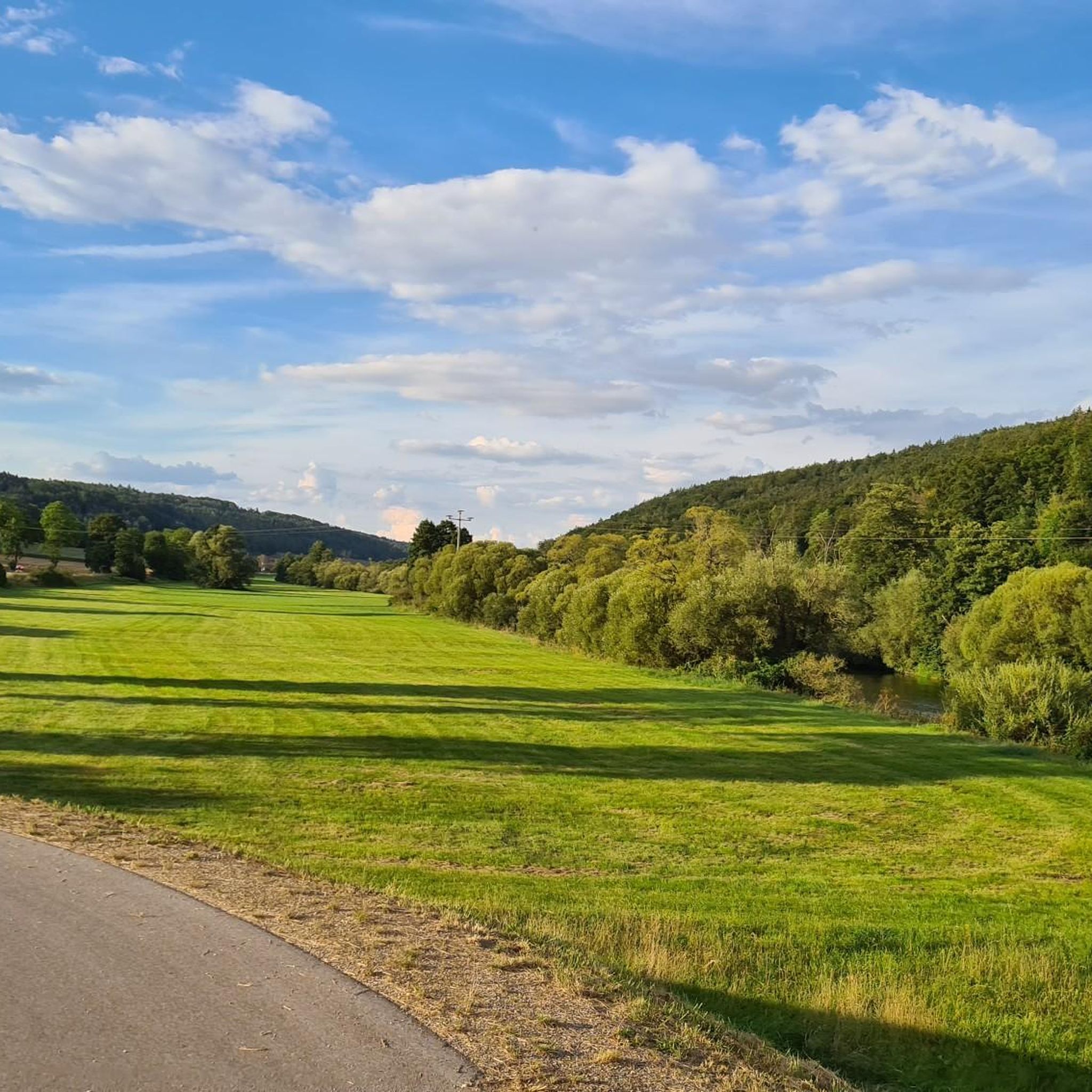
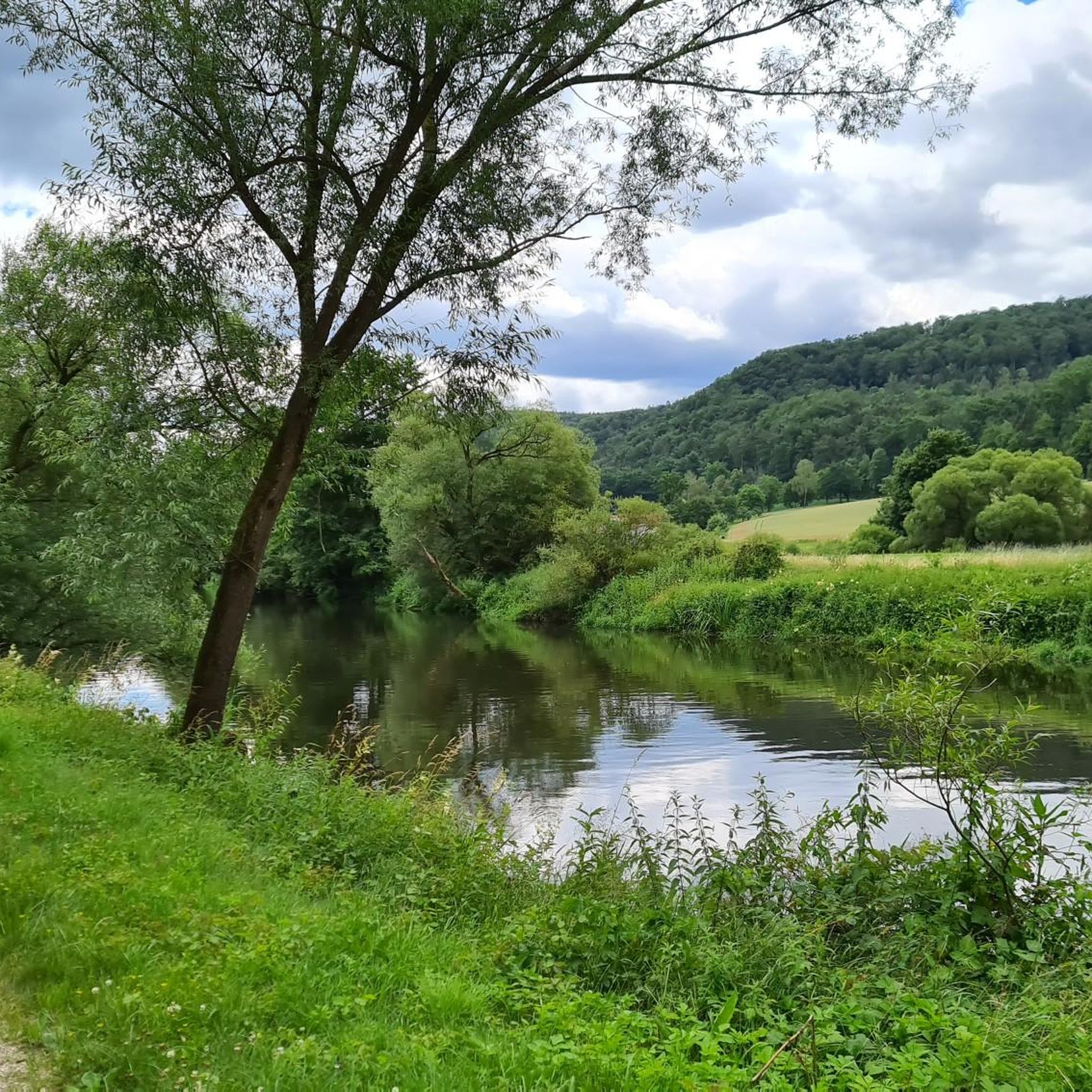
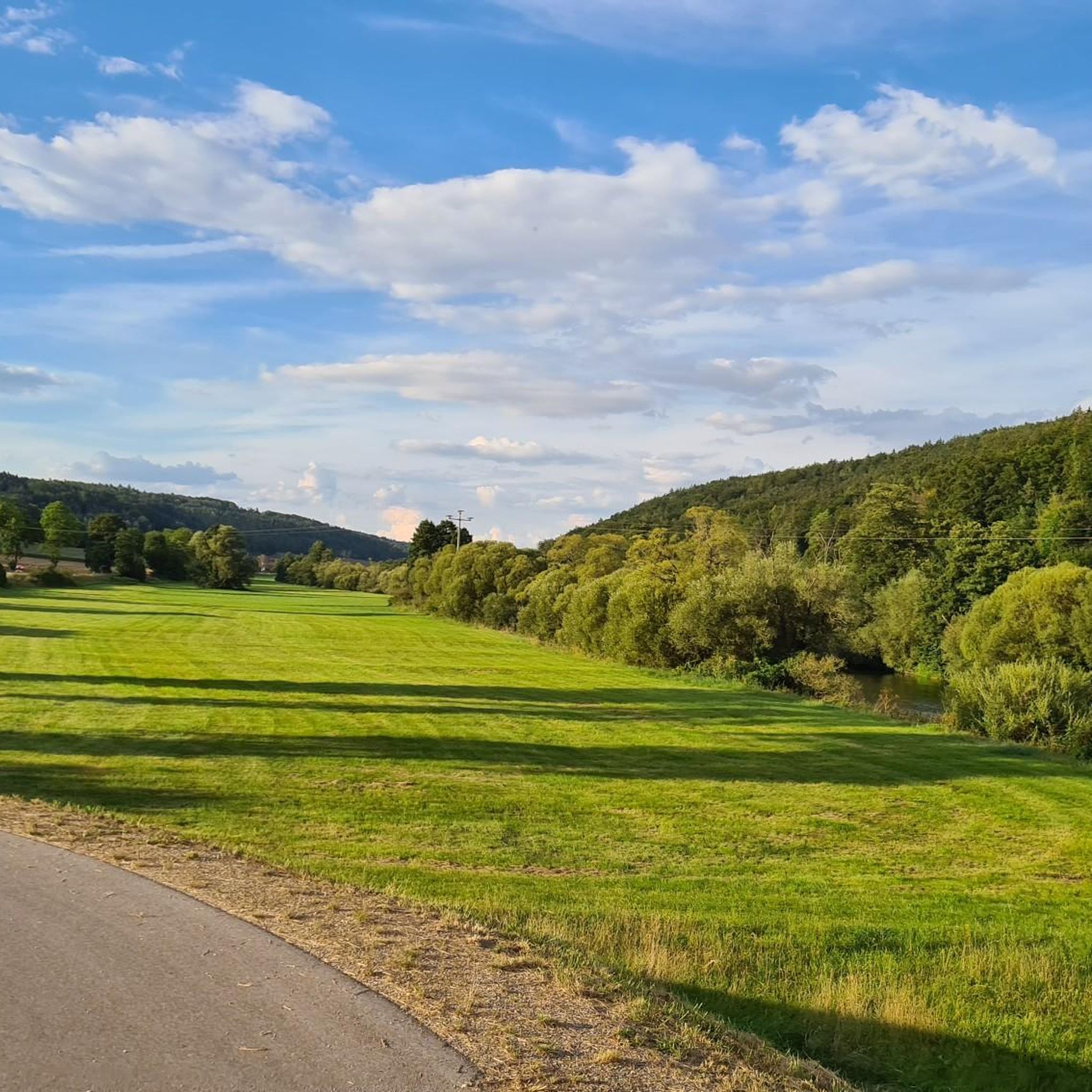
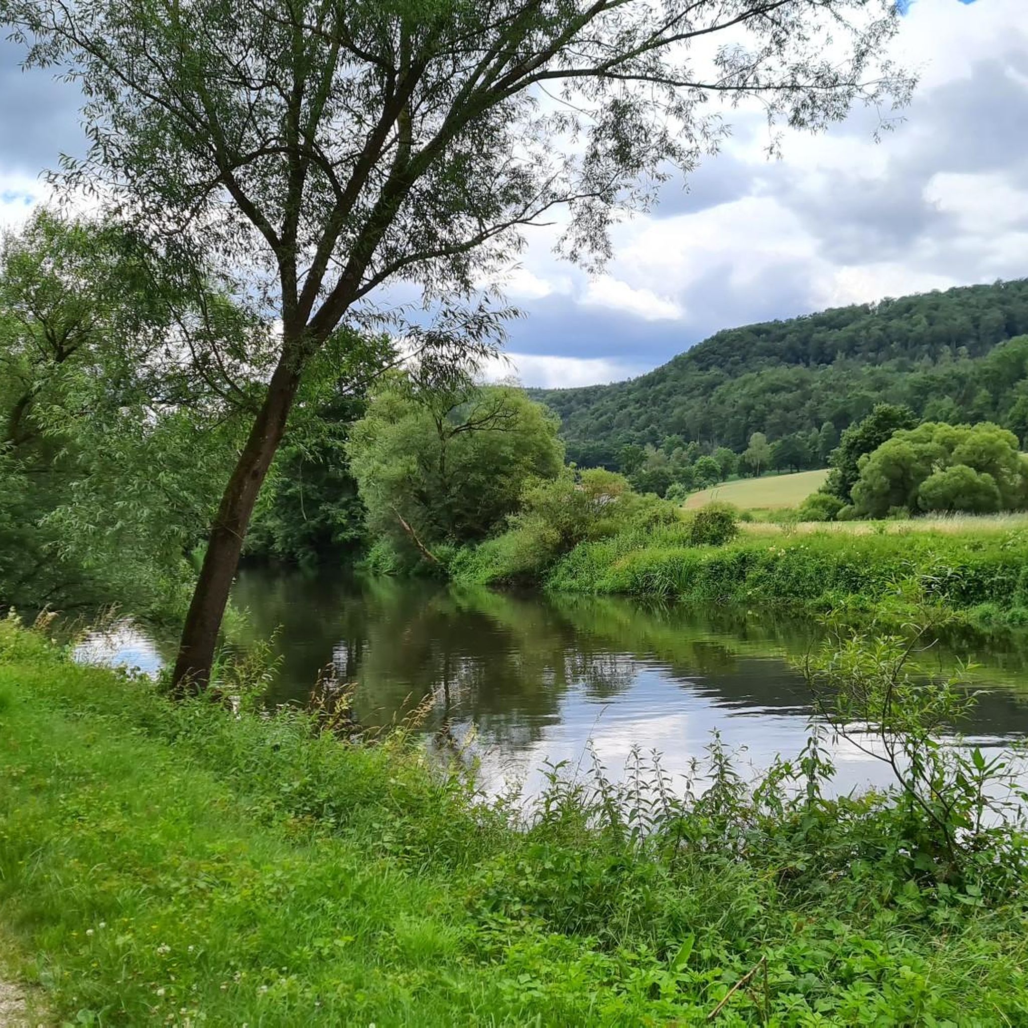
Tips from the Community

mans said "Probably the longest lake in Bavaria" The slowly flowing Naab
0
0

great beautiful city
0
0

Lichtenroth Castle on the Engelsfelsen (Angel Rock) A six-meter-deep and over ten-meter-wide moat draws attention to the Lichtenroth Castle above Oberfreiung, between Pielenhofen and Duggendorf. The steep walls of the Engelfelsen (Angel Rock) secure the approximately 40-meter-long and up to eight-meter-wide area on three sides; from the rocky peak, one enjoys a magnificent view over the Naab Valley. Where the access path crosses a rampart, there used to be a gate. The highest part of the former castle complex is a narrow ridge above the moat, on which the remains of a residential building can be seen. At approximately 12 to 15 meters, it corresponds to the typical size of a late Romanesque stone house. There are no visible traces of the keep left. It presumably stood near the rocky peak and served as an observation tower. The date of the castle's construction is unknown; it is assumed to have been in the 11th or 12th century. We only learn of their existence after their demise, when Lord Jordan of Murach, a feudal lord of the Bishop of Regensburg and the Lords of Laaber, sold the "Burgstall zu Lichtenrode" to the nuns of Pielenhofen in 1297. The name, also recorded as "Lichtnroth," indicates a clearing area belonging to the Bishopric of Regensburg. Source: Burgensteige information board
1
0

Nice rest area
0
0

connection between two houses
0
1

On the way from Heitzenhofen towards Kallmünz in front of the Birnthaler inn, the Kallmünz castle can be seen dreamily between the trees several times. In backlighting, it is also reflected in the Naab.
2
0

beautiful path for hikers and cyclists
0
0

An extremely steep and difficult descent follows here. Sure-footedness is required!
0
0
Frequently Asked Questions
How many hiking trails are available in Duggendorf, and what are their difficulty levels?
Duggendorf offers a diverse network of over 40 hiking trails. You'll find options for various fitness levels, including around 17 easy routes, 23 moderate trails, and 4 more challenging ascents. This variety ensures there's a suitable path for every hiker.
What is the best time of year to go hiking in Duggendorf?
The region around Duggendorf is particularly beautiful for hiking in spring and autumn. Spring offers mild temperatures and nature in full bloom, while autumn transforms the landscape with vibrant fall colors, creating a stunning atmosphere for outdoor activities.
Are there family-friendly hiking trails in Duggendorf?
Yes, Duggendorf has several easy trails suitable for families. These routes often lead through picturesque forests and along river valleys, providing enjoyable experiences for all ages. Look for trails marked as 'easy' to find the most suitable options.
Are there any circular hiking routes in Duggendorf?
Many trails in Duggendorf are designed as circular routes, allowing you to start and end at the same point. For example, the Klosterwirtschaft Pielenhofen – Narrow forest trail in the Naab Valley loop from Duggendorf is a popular option that takes you through the scenic Naab Valley.
What kind of natural features or landmarks can I expect to see on the trails?
Duggendorf's trails showcase a blend of natural beauty and historical elements. You can expect to encounter impressive rock formations, especially along sections of the Jurasteig. The region is also characterized by hilly forests and scenic river valleys, such as the Naab. Highlights like the View of the Naab Valley and Kallmünz offer stunning panoramas.
Are there any viewpoints offering panoramic vistas?
Yes, the hilly terrain around Duggendorf provides several opportunities for panoramic views. The View of the Naab Valley and Kallmünz is a notable highlight, offering expansive vistas of the surrounding landscape. Many trails lead to elevated points where you can enjoy the scenery.
What do other hikers enjoy most about hiking in Duggendorf?
The hiking trails in Duggendorf are highly rated by the komoot community, with an average score of 4.6 stars from over 180 reviews. Hikers often praise the diverse landscape, including the scenic river valleys, extensive forests, and impressive rock formations. The variety of routes catering to different skill levels is also frequently highlighted.
Are there any historical sites or castles to explore near the hiking trails?
While primarily focused on nature, some routes may lead past historical elements. The broader region features historical attractions like the Ehrenfels Castle Ruins, offering a glimpse into the past amidst your outdoor adventure. The 'Burgensteig' (Castle Trail) also suggests opportunities to explore historical sites.
What is the typical terrain like on Duggendorf's hiking trails?
The terrain around Duggendorf is characterized by rolling hills and extensive forests. You'll find paths winding through wooded areas, alongside rivers like the Naab, and occasionally encountering impressive rock formations. The varied landscape offers a mix of gentle slopes and more challenging ascents, providing a dynamic hiking experience.
Can I find longer, more challenging hikes in the Duggendorf area?
Yes, for those seeking a greater challenge, Duggendorf offers more difficult routes. For instance, the Pielenhofen – Klosterwirtschaft Pielenhofen loop from Duggendorf is a difficult 9.6-mile trail with significant elevation changes, typically taking over 4 hours to complete. The region's proximity to the Bavarian Forest foothills also suggests access to more demanding mountain trails.
Are there any trails that follow the Naab or Danube rivers?
Yes, the proximity to the Naab and Danube rivers is a major draw for hikers in Duggendorf. Many trails lead along these rivers, offering diverse ecosystems and scenic views. The Jurasteig, a prominent long-distance trail, includes sections that run along the Naab, providing excellent riverside hiking opportunities.
Are there any specific trails known for unique natural formations?
The Jurasteig, which passes through the region, is particularly known for its impressive natural rock formations. Additionally, highlights like the Eichenberg Rock Formations offer unique geological features to explore during your hike.
Most popular routes around Duggendorf
Most popular attractions around Duggendorf

Get inspired with the komoot mobile app


Explore more
Browse the best Hikes in other regions.
