The 18 Most Amazing Peaks in the Altmühltal
Best mountain peaks in the Altmühltal are characterized by elevated points, dramatic rock formations, and mountain paths. The region's geological history has created a landscape of incised valleys, steep limestone cliffs, and juniper-covered plateaus. These features provide panoramic views over the meandering Altmühl River and its Jurassic landscape. The Altmühltal Nature Park offers numerous rewarding locations for hikers.
Best mountain peaks in the Altmühltal
- The most popular mountain peaks is Summit cross on the Schellenberg, a viewpoint on an…
Last updated: July 1, 2026
Harburg Castle
Highlight • Castle
Translated by Google •
Tip by

Summit cross on the Schellenberg
Highlight • Viewpoint
Translated by Google •
Tip by

Sign up now to discover places like this
Get recommendations on the best single tracks, peaks, & plenty of other exciting outdoor places.
Sign up for free
Teufelsfelsen Take-off Ramp and View over the Altmühl Valley
Highlight • Viewpoint
There is a legend that on the rock once a monastery is said to have been destroyed by the devil. …
Translated by Google •
Tip by

Viewpoint at the summit cross
Highlight • Viewpoint
Translated by Google •
Tip by

Bschütt-Berg (Eichstätt Matterhorn)
Highlight • Monument
The …
Translated by Google •
Tip by

Gelber Berg (Gelbe Bürg) Viewpoint
Highlight • Viewpoint
A map shows the directions with prominent sights.
Translated by Google •
Tip by

Reisberg Summit
Highlight • Summit
Together with the neighboring Lippertshofener Berg, the Reisberg is part of the loose garland of panoramic mountains that border the Jura range in the south. The hilltop rises …
Translated by Google •
Tip by

View from Kreuzberg overlooking Dietfurt
Highlight • Viewpoint
Translated by Google •
Tip by

Lehhof – Highest Point in Roth District (612 m)
Highlight • Summit
Translated by Google •
Tip by

Sulzbürg Summit Plateau
Highlight • Summit
Translated by Google •
Tip by

Sign up for free to discover even more peaks in the Altmühltal.
Sign up for free
Already have an account?
Start today with a free account
Your next adventure awaits.
Login or Signup
Popular around Altmühltal

Augsburger Jakobsweg – Through Bavarian-Swabia

The Romantic Road – To the Pearls of Southern Germany
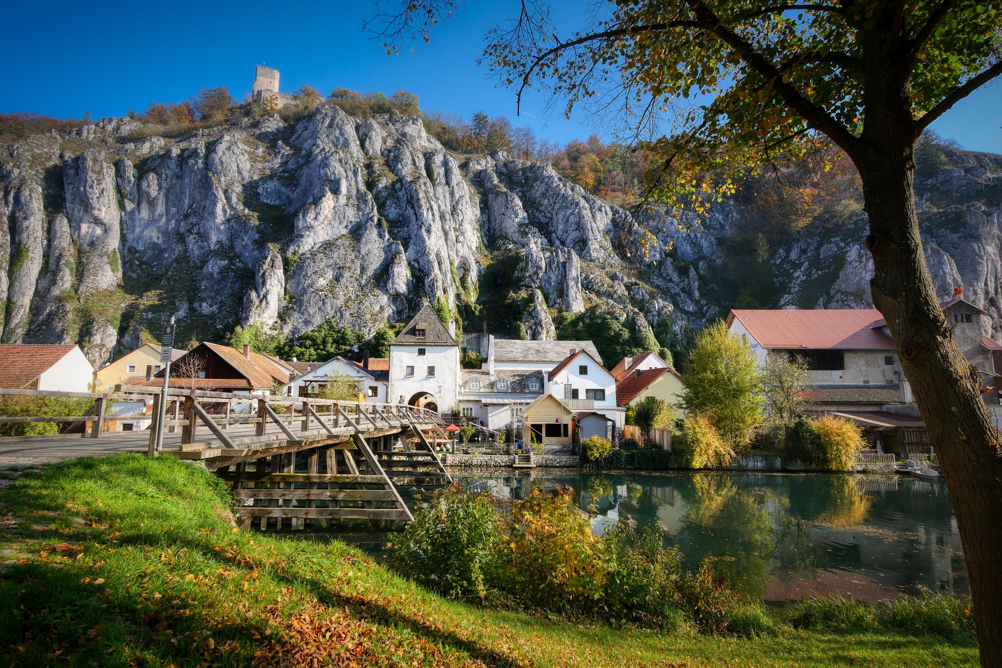
Jurasteig — hiking in the heart of Bavaria
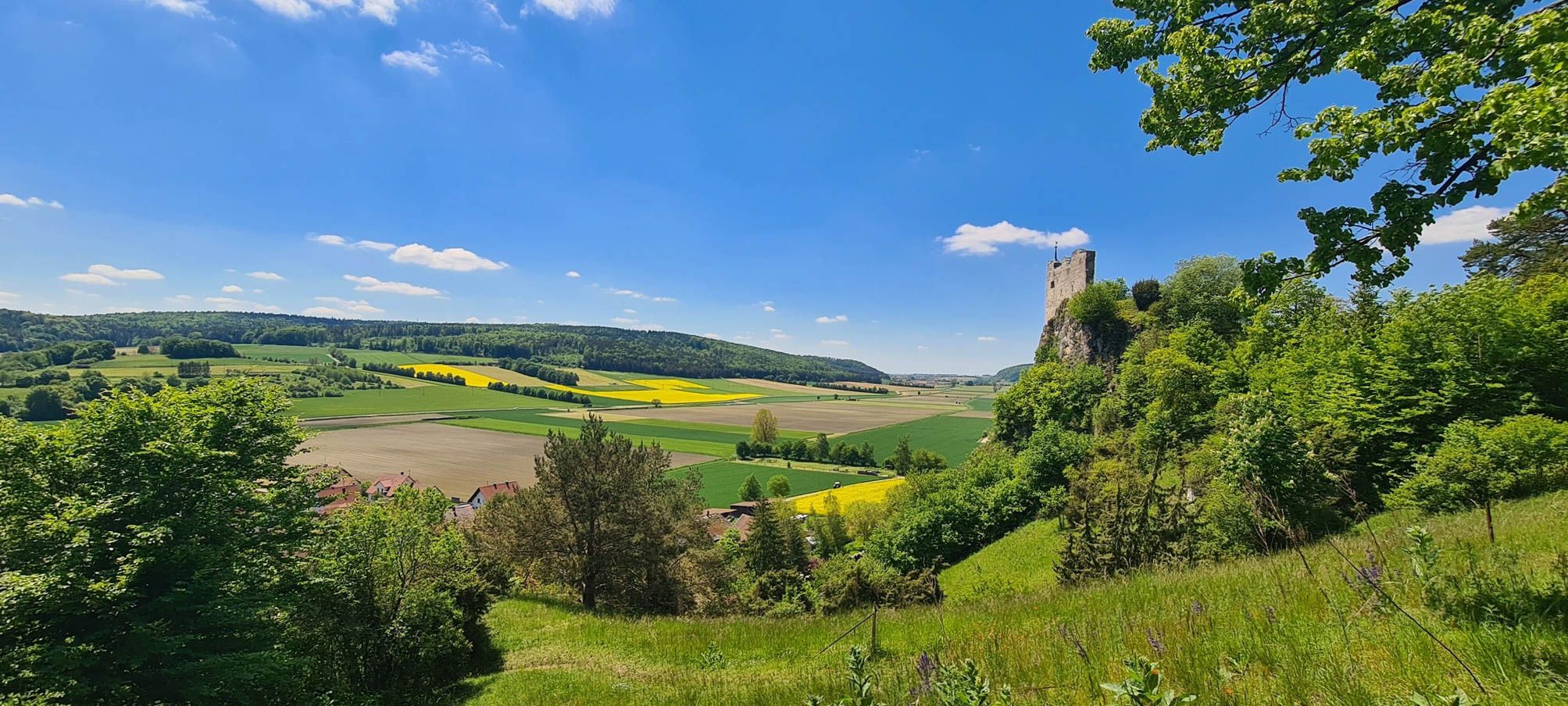
Urdonautalsteig – Hiking through past times

German Limes Cycle Path – Riding from the Rhine to the Danube
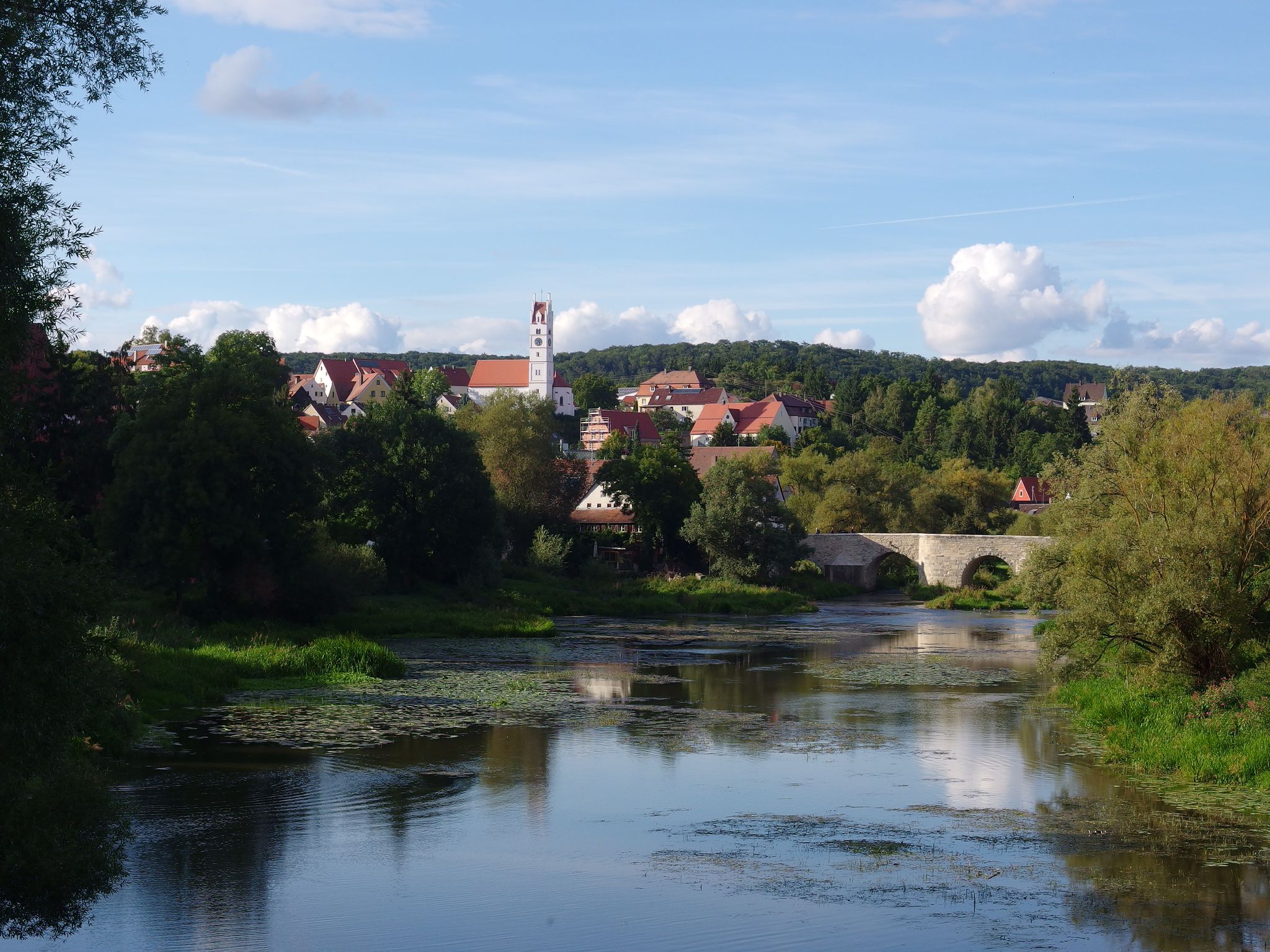
The Romantic Road – 10 fabulous stages
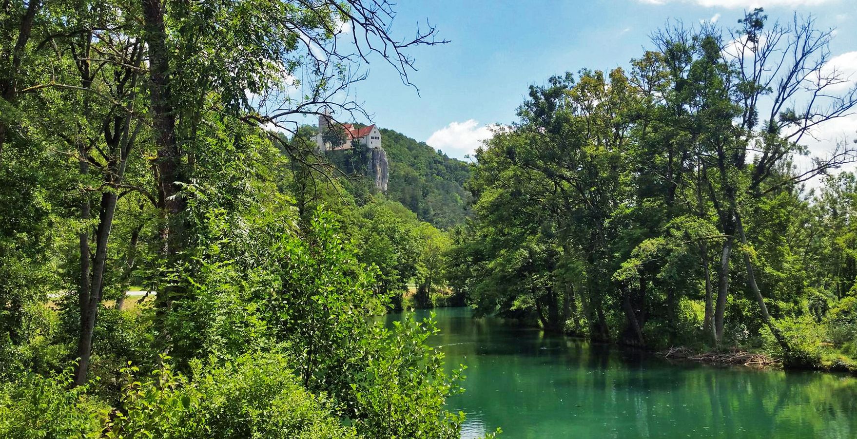
Five Rivers Cycle Path — 5 stages along Bavaria's most beautiful rivers
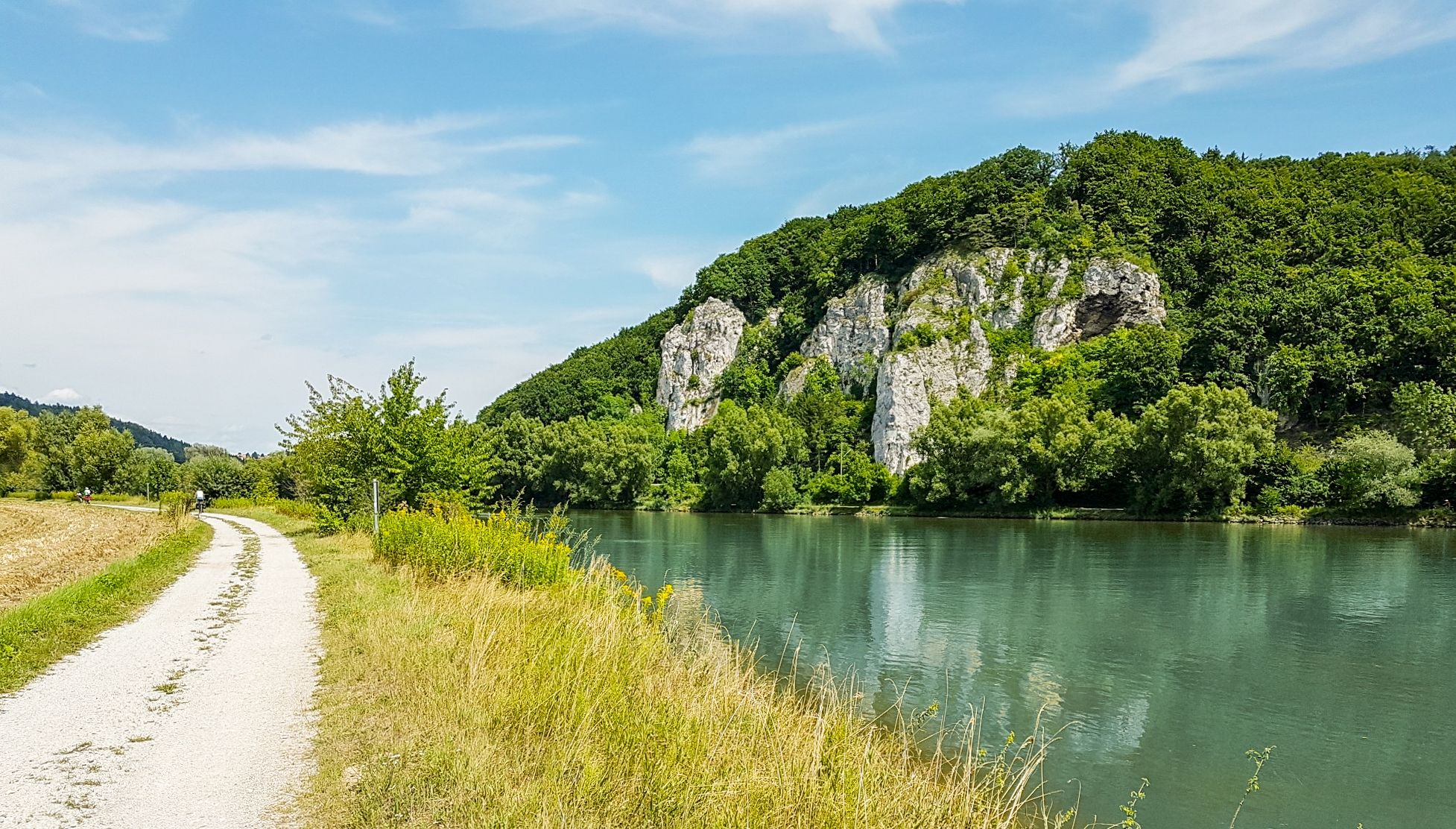
Donau-Panoramaweg – 10 days nature views and cultural insights
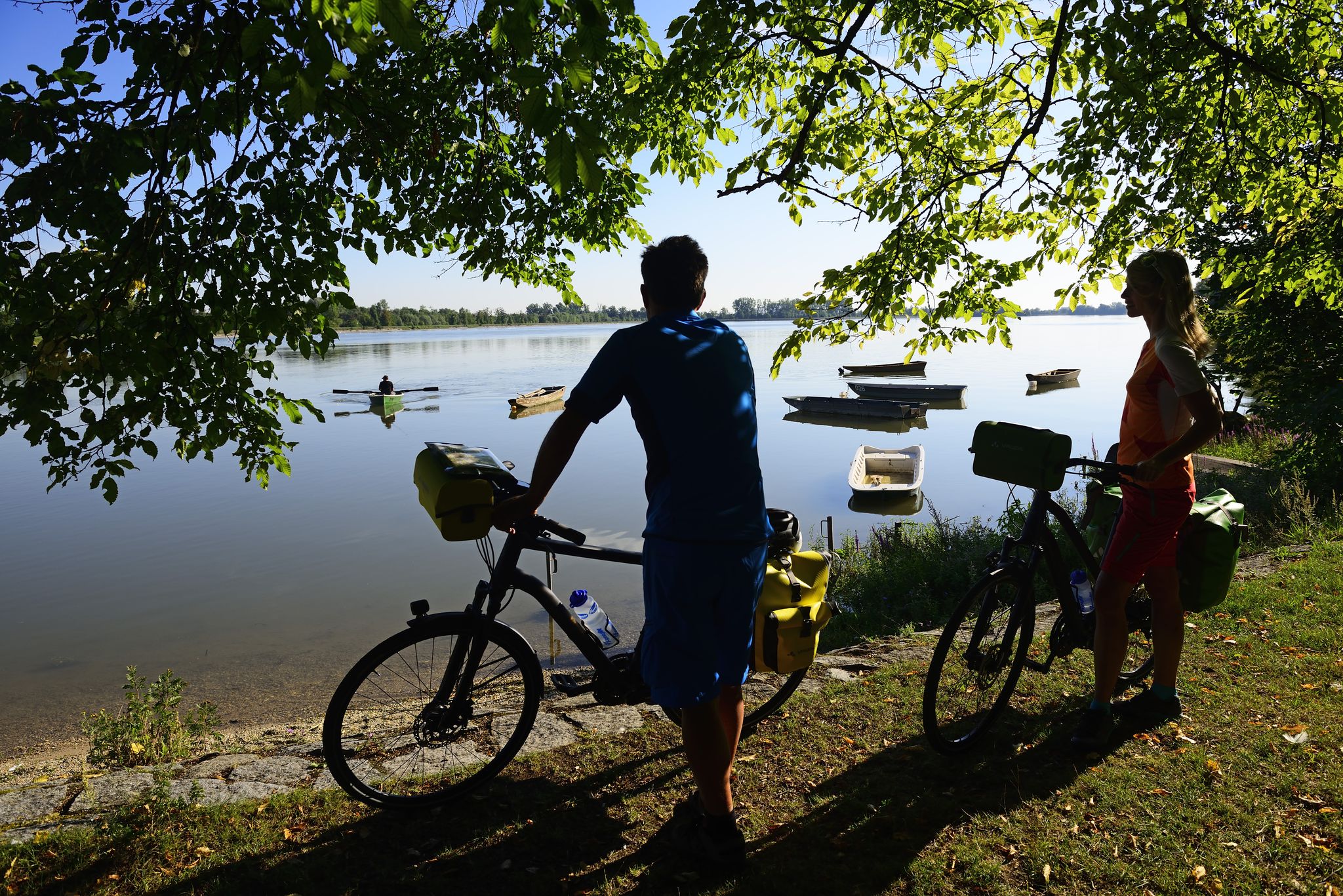
Niederbayerntour in 7 stages — Swim trunks, beer, baroque
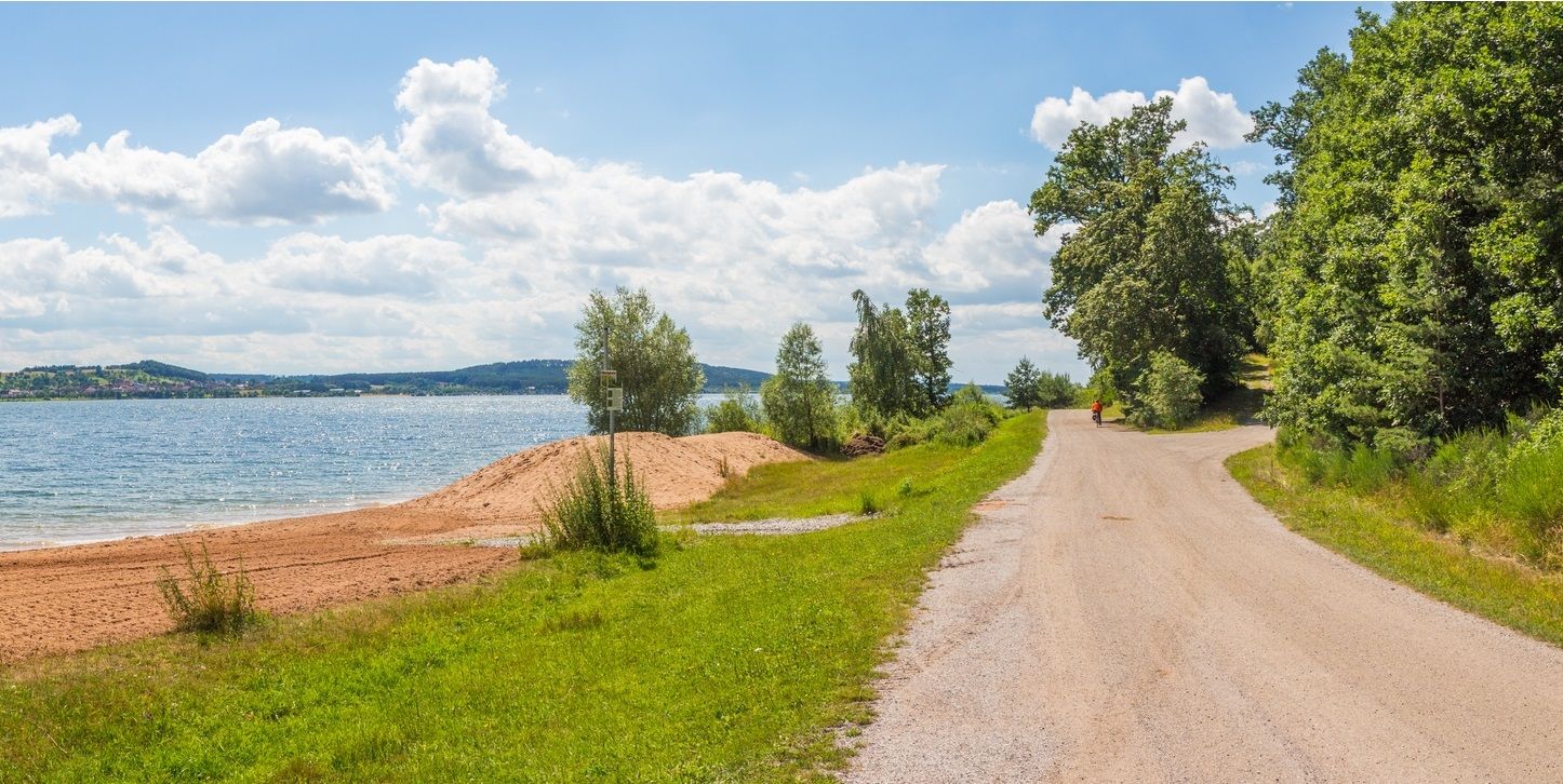
The Franconian Water Bike Path – 8 days of creeks, lakes & rivers
Other adventures in the Altmühltal


Tips from the Community

When coming up the wide path, you encounter a prohibition sign including a provisional "barrier" (see picture). Unfortunately, I did not find a summit book, as reported here.
0
0

And there is a summit book like on a "real" mountain.
1
0

Wide view into nothingness The descent to Ohlangen is really interesting.
0
0

Nice approach/exit also at the back via Ohlangen.
0
0

There is a free telescope to see the surroundings in more detail, several places to sit and a great view. A map shows the directions with prominent sights.
11
0
There is a free telescope to see the surroundings in more detail, several places to sit and a great view. A map shows the directions with notable sights. The Hesselberg (the highest elevation in Middle Franconia), the Altmühlsee and the Brombachsee are listed. But the small towns with their church towers also fit together wonderfully to create a wonderful panorama.
9
0

Hiking in Sulzbürg is particularly beautiful in the colorful autumn. When the weather is nice you can enjoy a wonderful view in all directions. The old buildings and winding streets have an almost Mediterranean flair with the plants there. Up here you feel free from all worries and obligations.
1
0

The so-called Eichstätter Matterhorn is probably the highest slag heap in Eichstätt and is clearly visible as it is the only slag heap with a summit cross around Eichstätt. The B Schütt mountain, whose summit is at 574 meters, is probably one of the most striking slag heaps in the Jura. The Matterhorn reflects an important part of Eichstätter's mining and quarrying history. It was initially piled up without permission as part of the mining of limestone on the Jura. Approval was finally granted retrospectively in the early 2000s. From the summit of the Eichstätter "Matterhorn" you can see the Zugspitze massif when the weather is clear.
4
0
Frequently Asked Questions
What are the most popular mountain peaks and viewpoints in the Altmühltal?
The Altmühltal offers several highly-rated elevated points. Among the most popular are the Summit cross on the Schellenberg, known for its magnificent views and ancient settlement history, and the Gelber Berg (Gelbe Bürg) Viewpoint, which provides expansive views over the Franconian Lake District and features a free telescope. Another favorite is the Teufelsfelsen Take-off Ramp and View over the Altmühl Valley, a dramatic rocky outcrop popular with hang gliders and offering fantastic valley views.
What unique natural features can I expect to see on the Altmühltal's elevated points?
The Altmühltal is renowned for its distinctive geological formations. You'll encounter impressive limestone rock formations like the 'Twelve Apostles' with their steep rock towers, and the 45-meter-high Burgsteinfelsen, recognized as one of Bavaria's most beautiful geotopes. The landscape also features incised valleys, steep limestone cliffs, and juniper-covered plateaus, all contributing to the region's unique Jurassic character.
Are there historical sites or landmarks near the mountain peaks in the Altmühltal?
Yes, many of the elevated points in the Altmühltal are rich in history. The Summit cross on the Schellenberg, for instance, has settlement traces dating back over 7,000 years to the Neolithic period. The Osterberg Mountain is close to the Roman fort Vetoniana, and the Altmühltal Panorama Trail itself connects scenic natural beauty with historical sites like the Limes watch tower en route to Kipfenberg. The region also features castles and Roman remains.
What is the best time of year to hike the mountain peaks in the Altmühltal?
The Altmühltal is beautiful throughout the warmer months. Spring and autumn offer pleasant temperatures and vibrant scenery, with spring bringing blooming flora and autumn showcasing colorful foliage. Summer is also popular, though it can be warmer. The region's diverse landscapes, including juniper heaths and clifftop paths, are enjoyable in various seasons, but always check local weather conditions before heading out.
Are there family-friendly mountain hikes or viewpoints in the Altmühltal?
Yes, several spots are suitable for families. The Viewpoint at the summit cross near Wolfstein is noted as family-friendly, offering a beautiful view and a relaxing lounger. While some trails can be challenging, many elevated points along the Altmühltal Panorama Trail are accessible and provide rewarding views without extreme difficulty, making them enjoyable for various age groups.
What outdoor activities can I do near the mountain peaks in the Altmühltal?
Beyond hiking to the peaks, the Altmühltal offers a wide range of outdoor activities. You can explore extensive cycling routes like the jurAKTIV-Tour or the Altmühl-Danube Tour, which are detailed in the Cycling in the Altmühltal guide. For mountain biking enthusiasts, there are trails such as the Devil's Gorge loop, found in the MTB Trails in the Altmühltal guide. Additionally, the region has specific mountain hiking routes like the Dohlenfelsen loops, which you can discover in the Mountain Hikes in the Altmühltal guide.
Where can I find panoramic views of the Altmühl River?
Many elevated points offer stunning views of the meandering Altmühl River. The Devil's Pulpit (Teufelskanzel) is strategically located to provide excellent vistas, especially on the Altmühltal Panorama Trail section between Treuchtlingen and Pappenheim. The Hollerstein Viewpoint near Pappenheim also offers sweeping views of the valley before descending into the medieval village. The Arnsberger Leite nature protection area provides extensive views of the valley and its rock formations.
Are there any challenging hiking trails to reach these elevated points?
For those seeking a more adventurous experience, the Jägersteig near Dollnstein is a challenging 6-kilometer route featuring rocky cliffs, narrow crevices, and sharp climbs. This trail provides exhilarating 'endless views' across the Franconian landscape, offering a more demanding hike compared to the gentler valley paths. The Altmühltal Panorama Trail itself, while long, includes diverse terrain with clifftop sections.
What do visitors enjoy most about the mountain peaks in the Altmühltal?
Visitors particularly appreciate the breathtaking panoramic views over the Altmühl River and the unique Jurassic landscape. The combination of natural beauty, geological wonders like the 'Twelve Apostles' and Burgsteinfelsen, and historical sites makes the elevated points highly rewarding. Many enjoy the tranquility of these spots, the opportunity for stunning photography, and the diverse hiking experiences, from leisurely strolls to challenging climbs.
What is the highest point in the Altmühltal region?
While the Altmühltal Nature Park is not characterized by towering Alpine peaks, the Altmühltal Panorama Trail reaches a highest point of 634 meters. Within the broader region, the Lehhof – Highest Point in Roth District (612 m) is a notable summit offering views.
Can I find viewpoints with amenities like telescopes or seating?
Yes, some viewpoints are equipped with amenities to enhance your experience. The Gelber Berg (Gelbe Bürg) Viewpoint, for example, offers a free telescope, multiple seating areas, and a map highlighting prominent sights. The Summit cross on the Schellenberg also provides seating to relax and enjoy the magnificent views after your climb.
Are there any specific trails that highlight the rock formations?
Absolutely. The 'Rundweg 'Teufel trifft Apostel'' trail specifically highlights the impressive 'Twelve Apostles' rock formations, allowing you to get up close to these natural monuments. The area around Burgsteinfelsen also provides excellent opportunities to view this imposing 45-meter-high rock formation amidst forests and juniper heaths.
Most popular routes in the Altmühltal
Most popular attractions in the Altmühltal

Get inspired with the komoot mobile app


Didn’t find what you were looking for?
Discover Altmühltal’s best peaks and summits by region:
Explore more
See even more amazing summits in the Altmühltal with these guides:
