The best road cycling routes around Dröbischau
4.5
(102)
1,441
riders
82
rides
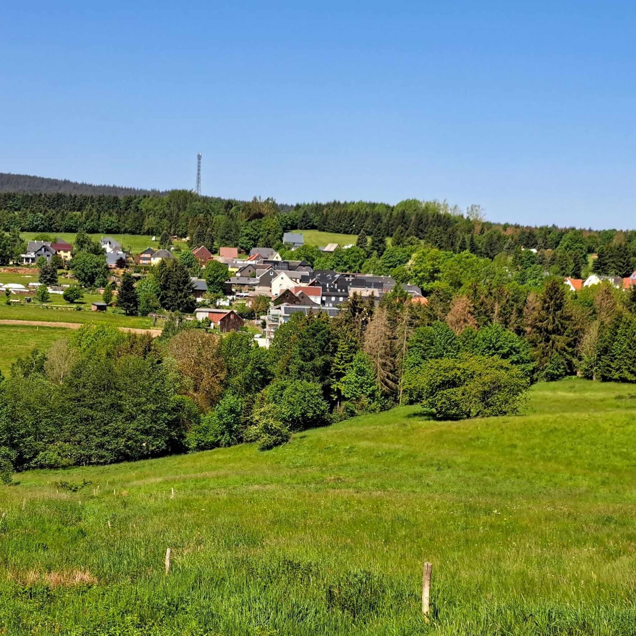
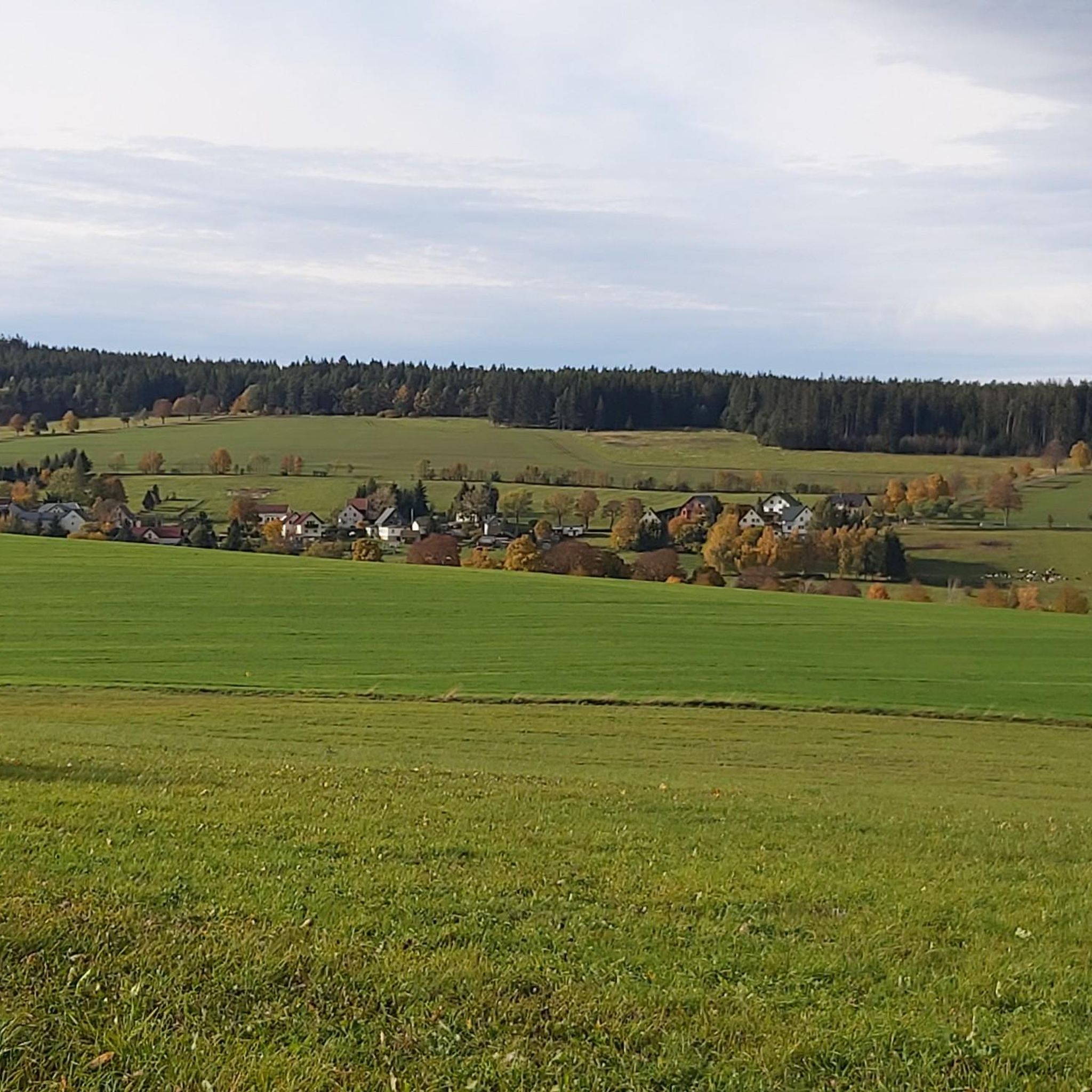
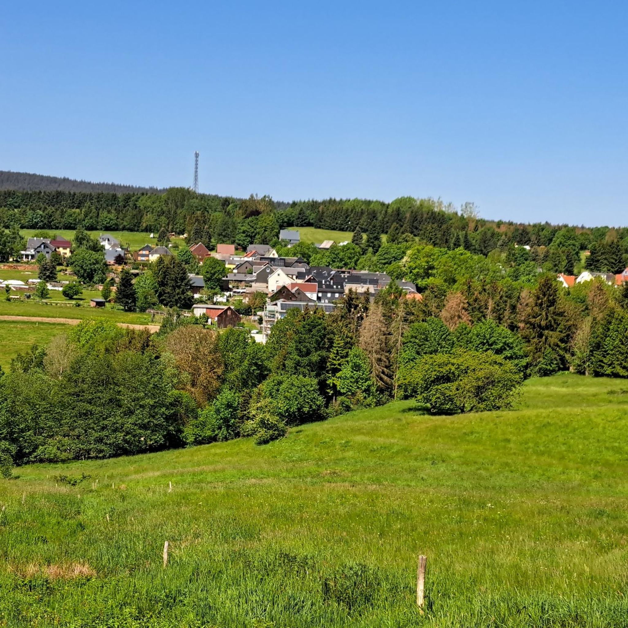
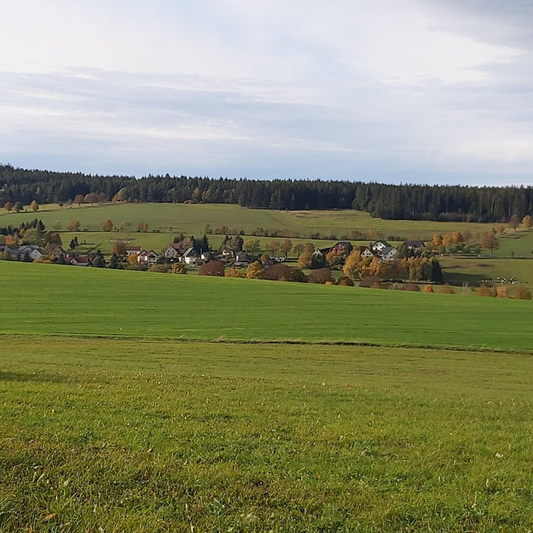
Road cycling around Dröbischau offers varied terrain within the Thuringian Slate Mountains, situated at an elevation of 600-630 meters. The region features rolling hills, extensive forests, and meadows, providing a dynamic backdrop for road cycling. Cyclists can expect a mix of challenging climbs and descents, particularly in forested areas, alongside flatter routes that follow river valleys like the Rinnetal and Schwarzatal. This landscape provides diverse road cycling experiences.
Best road cycling routes around Dröbischau
- The most popular road cycling route…
Last updated: June 26, 2026
4.0
(1)
25
riders
104km
04:52
1,330m
1,330m
Hard road ride. Very good fitness required. Some segments of this route may be unpaved and difficult to ride.
5.0
(2)
30
riders
35.7km
01:40
390m
390m
Moderate road ride. Good fitness required. Mostly well-paved surfaces and easy to ride.

Sign up for free
17
riders
Moderate road ride. Good fitness required. Some segments of this route may be unpaved and difficult to ride.
4.5
(4)
14
riders
52.2km
02:32
730m
730m
Moderate road ride. Good fitness required. Some segments of this route may be unpaved and difficult to ride.
12
riders
159km
07:48
2,400m
2,400m
Hard road ride. Very good fitness required. Mostly well-paved surfaces and easy to ride.
Get access to more routes and recommendations from other explorers.
Sign up for free
Already have an account?
Our route recommendations are based on thousands of hikes, rides, and runs completed by other people on komoot.
Start today with a free account
Your next adventure awaits.
Login or Signup
Tips from the Community

Relaxing for young and old and a joy for children
0
0

View from Liebenstein Castle...
0
0

Comfortable pass ride with moderate gradients.
0
0
Comfortable pass ride, the gradient is kept well within limits.
0
0


A beautiful church in Pennewitz near the bike path.
1
0

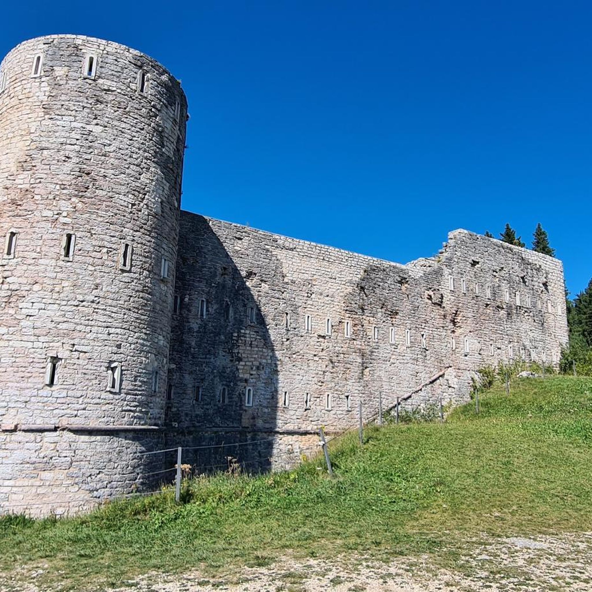
Historic site. The first German Constitution was signed here in 1919
0
0
A wonderful valley leading up to the Rennsteig trail. Very pleasant for cycling.
0
0
Frequently Asked Questions
What kind of terrain can I expect for road cycling around Dröbischau?
Road cycling around Dröbischau offers a diverse low mountain range terrain within the Thuringian Slate Mountains. You'll encounter a mix of rolling hills, extensive forests, and meadows. Expect challenging climbs and descents, especially in forested areas, alongside flatter routes that follow scenic river valleys like the Rinnetal and Schwarzatal.
Are there road cycling routes suitable for beginners or families in Dröbischau?
While many routes in the Dröbischau area feature significant elevation changes, there are options for varying skill levels. The region's valleys, such as the Rinnetal and Schwarzatal, often provide more moderate sections that could be suitable for families or those seeking less strenuous rides. For a moderate option, consider the Schwarzatal Valley – Schwarzburg Castle loop from Königsee, which is 22.0 miles (35.5 km) long.
Where can I find scenic viewpoints or landmarks along the road cycling routes?
The Dröbischau region, being part of the Thuringian Slate Mountains, offers numerous scenic spots. You can find viewpoints like Schneiderfelsen - Touring stamp 169 and the Vordere Haube Observation Tower. Routes also pass by historical sites such as Schwarzburg Castle and the Gehren Castle Ruins, offering cultural highlights amidst natural beauty.
Are there any circular road cycling routes available?
Yes, many of the road cycling routes around Dröbischau are designed as loops, allowing you to start and end in the same location. Examples include the challenging Kehltal Valley loop from Mellenbach-Glasbach or the moderate Country Road to Paulinzella – Gehren Castle Ruins loop from Königsee.
What is the best time of year for road cycling in Dröbischau?
The region is best enjoyed from spring through autumn. The varied low mountain range terrain, with elevations between 600-630 meters, means that while summer offers pleasant conditions, spring and autumn provide vibrant landscapes and comfortable temperatures. Winter cycling can be challenging due to potential snowfall, especially in higher elevations and the nearby Thuringian Forest.
How many road cycling routes are there in the Dröbischau area?
There are over 80 road cycling routes available around Dröbischau, catering to various skill levels. This includes 45 moderate routes and 38 difficult routes, ensuring a diverse range of experiences for cyclists.
What do other cyclists say about road cycling in Dröbischau?
The road cycling routes around Dröbischau are highly rated by the komoot community, with an average score of 4.6 stars from over 90 reviews. Cyclists often praise the varied terrain, the scenic beauty of the valleys, and the challenging climbs that lead to rewarding views.
Are there places to eat or drink along the road cycling routes?
While specific cafes or pubs directly on every route are not detailed, Dröbischau itself, as a district of Königsee, offers local amenities. The region's charming villages often have traditional inns or small eateries where you can refuel. It's advisable to check local listings or plan your route to pass through towns for refreshment stops.
Can I combine road cycling with other attractions in Dröbischau?
Absolutely. Dröbischau offers several local attractions that can complement your cycling trip. These include the region's first herb garden (Kräutergarten), an arboretum, a local history museum (Heimatmuseum), and a small animal enclosure (Heimattiergehege). You can also explore nearby lakes like Wiesenweg Ponds or Höllteich.
What are some of the longer, more challenging road cycling routes in the area?
For experienced cyclists seeking a challenge, routes like the Kehltal Valley loop from Mellenbach-Glasbach, at 65.3 miles (105.2 km) with significant elevation, offer a demanding ride. Another extensive option is the Mommelstein Cycle Path – View of the ski jump loop from Mellenbach-Glasbach, which spans 158.5 km and features over 2,300 meters of elevation gain.
Is there public transport available to reach the cycling routes around Dröbischau?
Dröbischau is a district of Königsee, and the wider Thuringian Slate Mountains region is generally accessible by public transport, though specific routes and bike carriage options may vary. It's recommended to check local bus or train schedules for connections to Königsee or Mellenbach-Glasbach, which are common starting points for many routes, and verify their bicycle transport policies.
Where can I park my car when starting a road cycling tour in Dröbischau?
As a district of Königsee, Dröbischau and its surrounding villages typically offer public parking options. Look for designated parking areas in the town centers or near popular trailheads. It's advisable to check local signage for any parking restrictions or fees.
Most popular attractions around Dröbischau

Get inspired with the komoot mobile app


Explore more
Browse the best Road cycling routes in other regions.
