The best walks and hikes around Velling Skov
4.6
(527)
3,609
hikers
207
hikes
Hiking around Velling Skov is characterized by ancient woodlands and varied topography in Central Denmark. The region features Denmark's largest expanse of 250 to 300-year-old untouched beech trees, situated on north-facing slopes that descend towards the Salten Å river. This creates a dynamic and often steep terrain, with elevated points offering views of the river. The broader Velling Forests also include Snabegård Skov, which contributes to the area's ecological diversity.
Best hiking trails around Velling Skov
- The most popular hiking…
Last updated: June 24, 2026
5.0
(2)
25
hikers
18.1km
04:56
270m
270m
Moderate hike. Good fitness required. Easily-accessible paths. Suitable for all skill levels.
4.0
(1)
10
hikers
7.84km
02:07
100m
100m
Moderate hike. Good fitness required. Easily-accessible paths. Suitable for all skill levels.

Sign up for free
11
hikers
3.68km
00:59
40m
40m
Easy hike. Great for any fitness level. Easily-accessible paths. Suitable for all skill levels.
4.3
(3)
7
hikers
10.0km
02:44
150m
150m
Moderate hike. Good fitness required. Easily-accessible paths. Suitable for all skill levels.
7
hikers
3.97km
01:03
40m
40m
Easy hike. Great for any fitness level. Easily-accessible paths. Suitable for all skill levels.
Get access to more routes and recommendations from other explorers.
Sign up for free
Already have an account?
Our route recommendations are based on thousands of hikes, rides, and runs completed by other people on komoot.
Start today with a free account
Your next adventure awaits.
Login or Signup
Tips from the Community

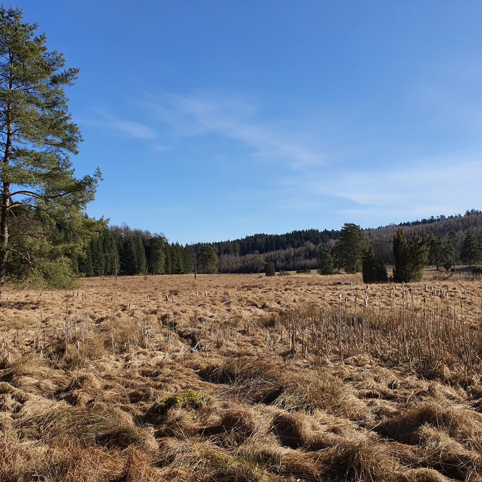
Rising above the surrounding forest, Velling Kalv is one of the best viewpoints in this part of Søhøjlandet. The open summit offers far-reaching views across the rolling hills, woodlands and lakes that characterize the region. On a clear day, it’s easy to appreciate how dramatically the Ice Age shaped this landscape.
0
0
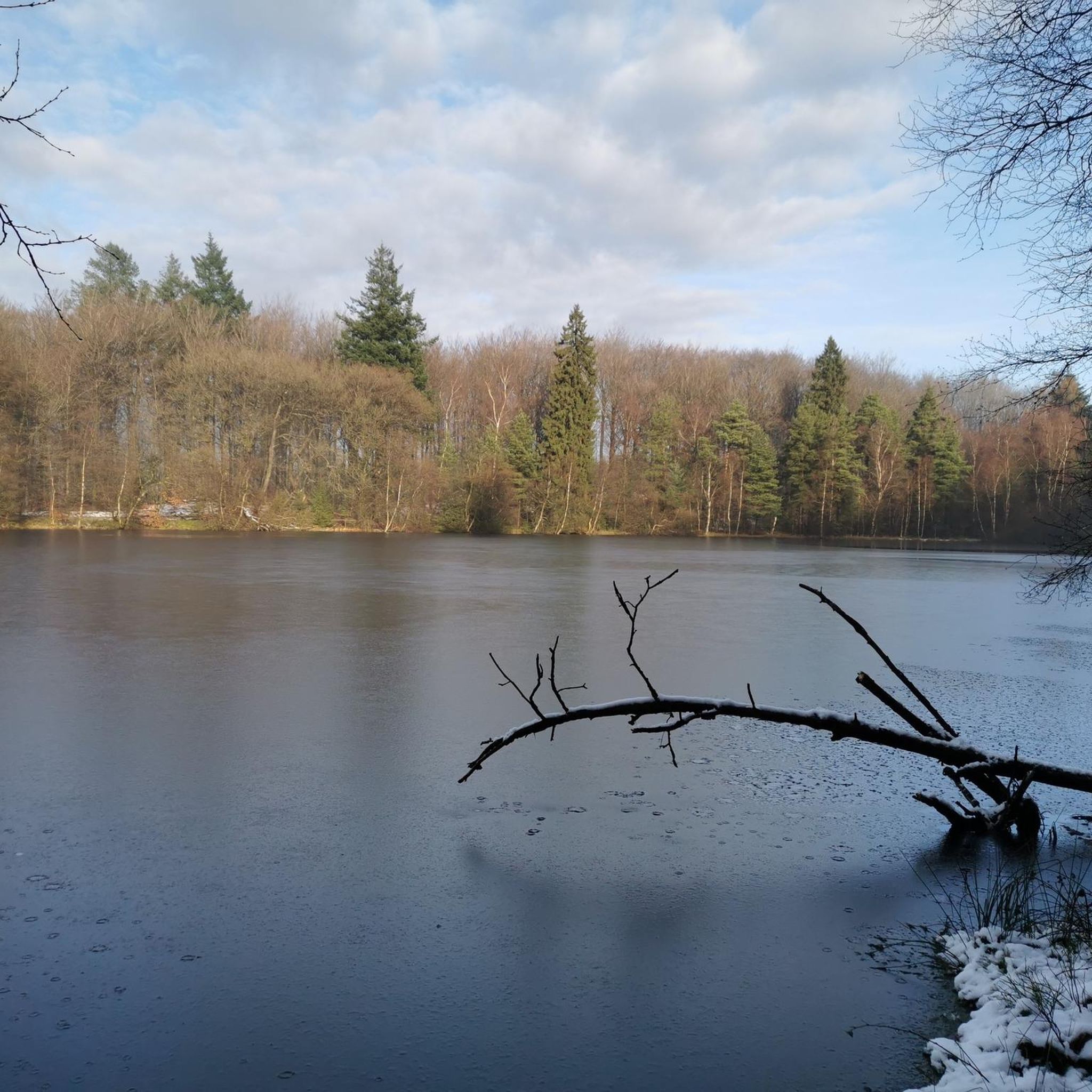
Surrounded by forest and wetlands, Snabe Igelsø is a quiet lake known for its birdlife. Keep an eye out for ducks and other waterbirds that regularly gather along its shores.
0
0

The viewpoints Velling Kalv and Velling Gavl are located 119 and 130 meters above sea level, respectively. Velling Kalv is the lowest of the two points, but the view from here is the best! Kalv means protruding hilltop, gable means end (like on a house). The viewpoints Velling Kalv and Velling Gavl are located 119 and 130 meters above sea level. Velling Kalv is the lowest of the two points, but offers the best view! Kalv means “protruding hilltop”, “Gable” means “end” (like on a house).
2
1
Parking - from here good hiking trails
2
0
Hundsø is a small lake, isolated in the state-owned forest north of Bryrup. The quality of the bathing water in the lake is monitored. Hundsø ist ein kleiner See, der isoliert im staatlichen Wald nördlich von Bryrup liegt. Die Qualität des Badewassers im See wird überwacht.
2
0

A beautiful path leads you through the soothing forest, making the walk much easier.
0
0

Great experience, our Da Vinci wasn't a big fan because of the rattling on the tracks, he's a bit of a scaredy-cat
0
0
Frequently Asked Questions
How many hiking trails are available in Velling Skov?
Velling Skov offers a wide variety of hiking experiences, with over 200 routes documented on komoot. These range from easy strolls to more challenging moderate trails through the ancient woodlands.
Are there easy hiking trails suitable for beginners or families in Velling Skov?
Yes, Velling Skov has nearly 100 easy routes, perfect for beginners or families. An example is the Hundsø Lake loop from Bryrup, which is a gentle 3.7 km path offering a pleasant walk around the lake.
What kind of landscapes can I expect to see while hiking in Velling Skov?
Hikers in Velling Skov will encounter Denmark's largest expanse of 250 to 300-year-old untouched beech trees, creating a unique ancient forest atmosphere. The terrain is varied, with north-facing slopes descending towards the Salten Å river, offering dynamic and often steep sections, as well as fantastic views of the river from elevated points.
Are there any circular hiking routes in Velling Skov?
Yes, many routes in Velling Skov are circular. For instance, the Hundsø Lake loop from Katrinedal is an easy 4 km circular path, ideal for a shorter, scenic walk.
What are some notable attractions or landmarks to look out for during a hike?
Beyond the ancient beech forests, you can explore the repurposed Bryrup–Vrads veteran railway lines, which now serve as scenic nature trails. The area also features Lake Snabe Igelsø within Snabegård Skov, and the challenging topography offers fantastic views of the Salten Å river.
What is the best time of year to go hiking in Velling Skov?
Velling Skov offers unique experiences throughout the year. Spring and autumn are particularly beautiful, with vibrant foliage changes. The ancient beech forests provide shade in summer, and the varied terrain can be explored in winter, though some paths might be more challenging.
Are there any moderate hiking trails for more experienced hikers?
Yes, Velling Skov features 95 moderate trails. A good option for a longer excursion is the View of Hald Lake loop from Katrinedal, an 8.1 km route with varied elevation, offering a rewarding experience.
What do other hikers enjoy most about Velling Skov?
The komoot community highly rates Velling Skov, with an average score of 4.6 stars from over 500 reviews. Hikers often praise the quiet woodlands, the well-marked paths, and the diverse natural beauty, especially the ancient beech trees and river views.
Is there parking available near the hiking trails in Velling Skov?
While specific parking locations are not detailed in every route description, Velling Skov is well-equipped for visitors. It is generally advisable to check the starting points of individual komoot tours for precise parking information, as many trailheads offer designated parking areas.
Are there options for longer hiking excursions in Velling Skov?
Yes, for those seeking longer hikes, routes can be extended into Snappegårds Skov by crossing the Bryrup-Vrads railway. Additionally, the Dead Tree Near Igelsø – View from Velling Gavl loop from Bryrup is a 7.8 km trail that takes you through varied forest landscapes, offering a substantial walk.
Can I find accommodation or places to eat near Velling Skov?
The region around Velling Skov offers various amenities. A basic campsite with a shelter is located south of Vrads Station, providing convenient overnight accommodation for multi-day adventurers. For more options, you can explore nearby towns like Bryrup and Vrads, which may offer local cafes and pubs.
Most popular routes around Velling Skov

Get inspired with the komoot mobile app


Explore more
Browse the best Hikes in other regions.
