The best running trails around Yding Skov
4.7
(26)
633
runners
72
runs
Jogging around Yding Skov offers a variety of routes through Denmark's highest natural points, characterized by rolling hills and dense forest paths. The region provides a mix of terrain, from gentle ascents to more challenging inclines, making it suitable for different fitness levels. Runners can explore diverse landscapes, including woodlands and open areas, often with scenic views.
Best jogging routes around Yding Skov
- The most popular jogging route is Running loop from Lensbjerggård, a 3.5 miles (5.6 km) trail that takes 38 minutes to complete. This moderate route offers varied terrain through the local landscape.
- Another top favourite among local runners is Running loop from Tebstrup, a moderate 3.1 miles (5.0 km) path. This route features gentle elevation changes and passes through pleasant surroundings.
- Local runners also love the Alken Enge loop from Alken, a 3.9 miles (6.4 km) trail leading through meadows and open landscapes, often completed in about 40 minutes.
- Jogging around Yding Skov is defined by rolling hills, forest paths, and open meadows, with options for easy, moderate, and challenging running. The network offers routes for different ability levels.
- The routes in Yding Skov are highly rated by the komoot community with an average score of 4.4 stars from over 20 reviews. More than 600 runners have used komoot to explore Yding Skov's varied terrain.
Last updated: May 12, 2026
3
runners
5.55km
00:38
40m
40m
Moderate run. Good fitness required. Mostly paved surfaces. Suitable for all skill levels.
8
runners
20.5km
02:35
440m
440m
Hard run. Very good fitness required. Sure-footedness, sturdy shoes and alpine experience required.

Sign up for free
4
runners
5.02km
00:32
60m
60m
Moderate run. Good fitness required. Mostly paved surfaces. Suitable for all skill levels.
6
runners
11.5km
01:14
120m
120m
Moderate run. Good fitness required. Mostly paved surfaces. Suitable for all skill levels.
4
runners
7.00km
00:44
60m
60m
Moderate run. Good fitness required. Mostly paved surfaces. Suitable for all skill levels.
Get access to more routes and recommendations from other explorers.
Sign up for free
Already have an account?
Our route recommendations are based on thousands of hikes, rides, and runs completed by other people on komoot.
Start today with a free account
Your next adventure awaits.
Login or Signup

Tips from the Community

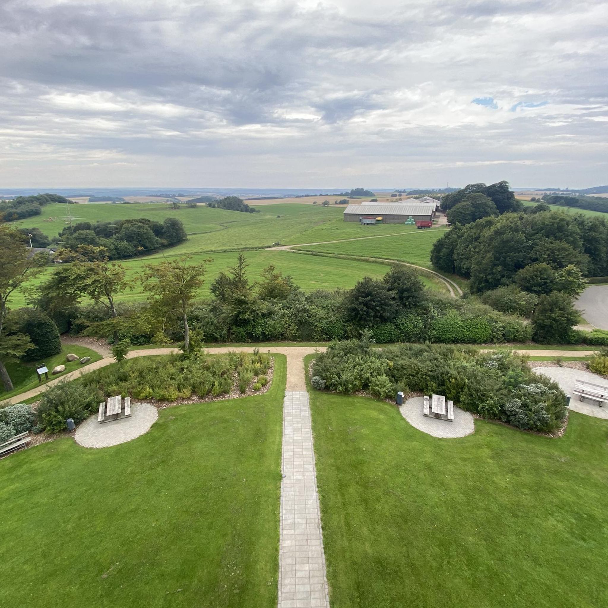
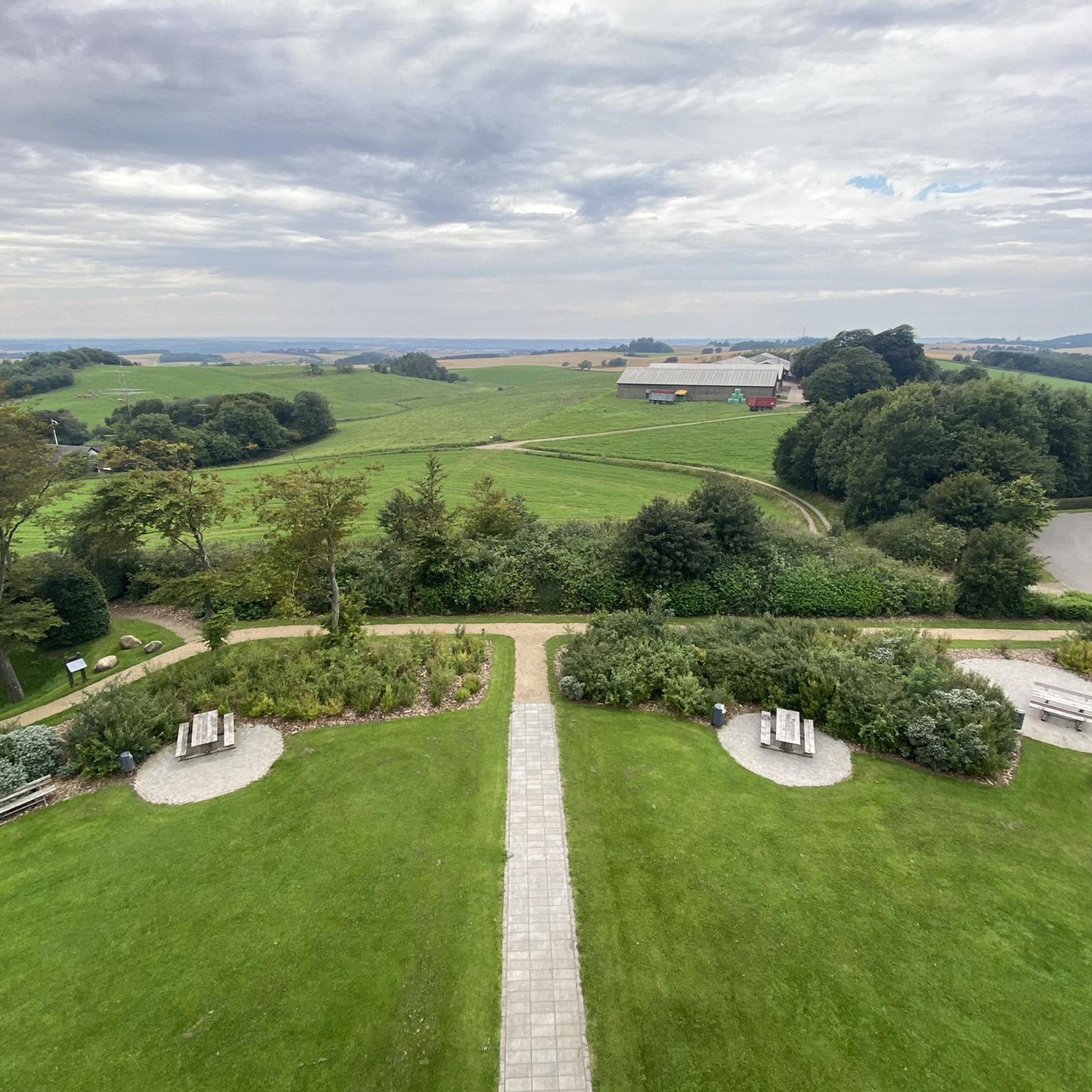
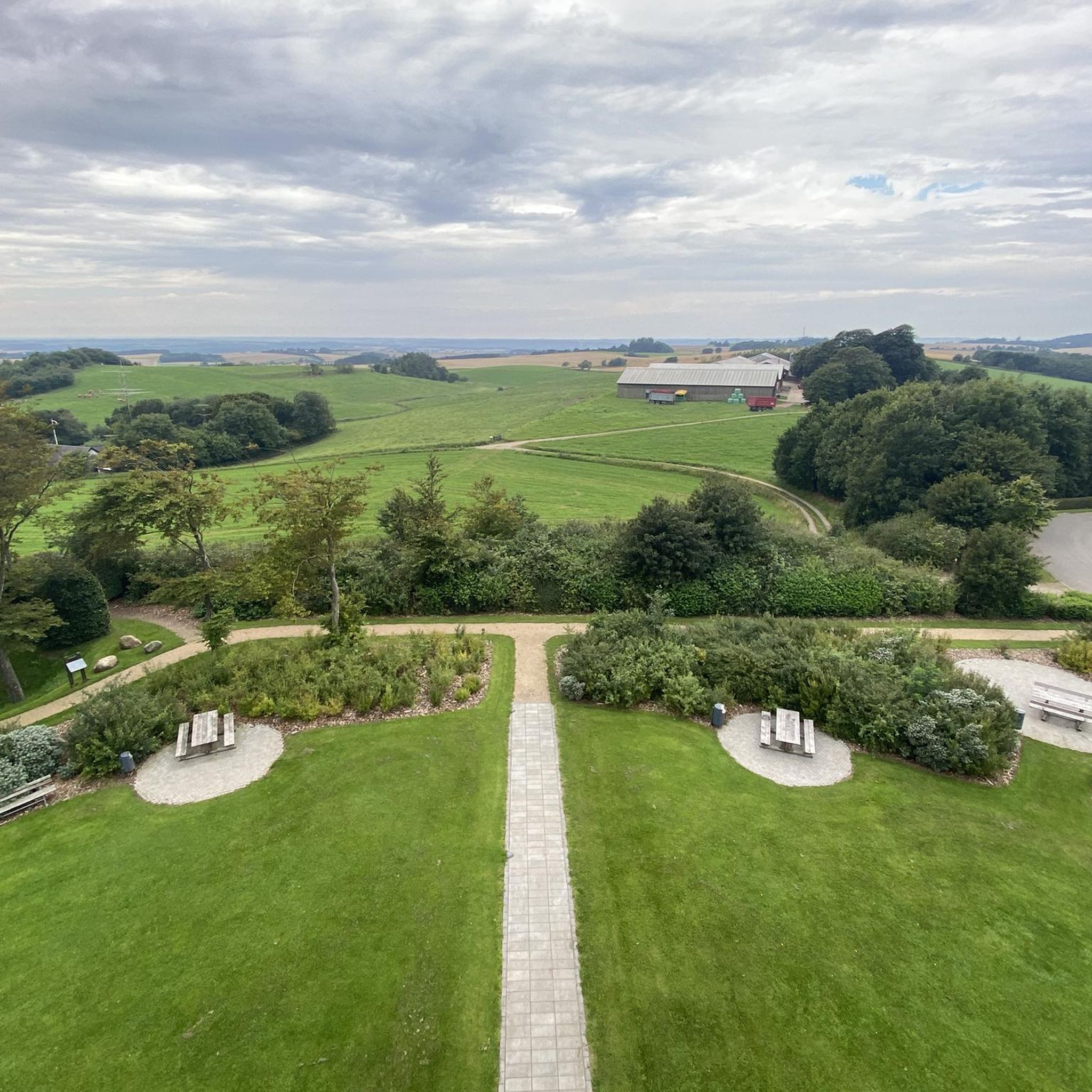
A great spot to take a break and enjoy the view over Lake Mossø.
0
0

The highest mountains or elevations in Denmark are in the Ejer Bjerge, a range of hills between Horsens and Skanderborg in the eastern part of the Midtjylland region (Central Jutland). In 2005, high-precision measurements revealed Møllehøj (170.86m), located 200 m west of Ejer Bavnehøj, to be the highest natural elevation in the country, while a Bronze Age burial mound of Yding Skovhøj was determined to be the highest elevation at 172.54m, which includes man-made mounds.
2
0

Sugarloaf Mountain (Sukkertoppen) Surrounded by forested terrain, Sukkertoppen is one of Denmark's highest hills, offering fabulous views over the beautiful natural landscape of Søhøjlandet. Follow in the footsteps of the Vikings and embark on a breathtaking tour to the summit of one of the most challenging climbs in the country. https://www.kystlandet.de/das-kuestenland/reiseplanung/der-zuckerhut-sukkertoppen-gdk678099
5
1

Frequently Asked Questions
How many running routes are available in Yding Skov?
Yding Skov offers a wide selection of running routes, with over 70 different trails to explore. These range from easy strolls to more challenging runs, catering to various fitness levels.
What do other runners say about the trails in Yding Skov?
The running routes in Yding Skov are highly regarded by the komoot community, boasting an average rating of 4.4 stars from over 20 reviews. Runners frequently praise the varied terrain, including rolling hills and forest paths, and the scenic views that characterize Denmark's highest natural points.
Are there easy running routes suitable for beginners in Yding Skov?
Yes, Yding Skov has 13 easy running routes perfect for beginners or those looking for a relaxed jog. These trails typically feature gentler ascents and well-maintained paths, allowing for an enjoyable introduction to the area's natural beauty.
What kind of terrain can I expect on the jogging trails around Yding Skov?
The jogging trails around Yding Skov are characterized by diverse terrain, including rolling hills, dense forest paths, and open meadows. You'll encounter a mix of surfaces, from soft forest floors to gravel paths, offering varied experiences for runners.
Are there any challenging running routes in Yding Skov?
For those seeking a greater challenge, Yding Skov offers 6 difficult running routes. These trails often feature steeper inclines and more rugged paths, providing a demanding workout amidst the region's highest natural points.
Are there circular running routes in Yding Skov?
Many of the running routes in Yding Skov are designed as loops, allowing you to start and finish at the same point. Examples include the Running loop from Lensbjerggård, the Running loop from Tebstrup, and the Alken Enge loop from Alken, which offer convenient circular options.
What are the typical distances of running routes in Yding Skov?
Running routes in Yding Skov vary in distance, with many popular trails ranging from 3 to 7 miles (5 to 11 km). For instance, the Running loop from Voerladegård is about 4.3 miles (7 km), while the View over Lake Mossø loop from Alken extends to approximately 7.1 miles (11.5 km).
Is parking available near the jogging trails in Yding Skov?
Yes, parking is generally available at common starting points for many jogging trails in Yding Skov. Look for designated parking areas near popular access points or trailheads, especially in villages like Alken, Tebstrup, or near Lensbjerggård.
Are the jogging routes in Yding Skov suitable for families?
Many of the easier and moderate jogging routes in Yding Skov are suitable for families, especially those with older children who enjoy outdoor activities. The varied landscapes and well-maintained paths provide an engaging environment for a family run or walk.
Can I bring my dog on the running trails in Yding Skov?
Generally, dogs are welcome on trails in Yding Skov, but it's important to keep them on a leash, especially in forested areas or near wildlife. Always check local signage for specific rules regarding dogs in certain nature reserves or protected areas.
When is the best time of year to go running in Yding Skov?
The best time to go running in Yding Skov is typically during spring, summer, and early autumn. These seasons offer pleasant temperatures, lush greenery, and longer daylight hours. Spring brings blooming wildflowers, while autumn showcases beautiful fall foliage.
Can I jog in Yding Skov during winter?
Jogging in Yding Skov during winter is possible, but runners should be prepared for colder temperatures, potential snow or ice, and shorter daylight hours. Trails may be slippery, so appropriate footwear and warm clothing are essential. The quiet, snow-dusted landscapes can offer a unique running experience.
Are there any scenic viewpoints or attractions along the running routes?
Yding Skov is known for its scenic beauty, including views from Denmark's highest natural points. The View over Lake Mossø loop from Alken, for example, offers picturesque vistas of Lake Mossø. Many routes traverse woodlands and open areas, providing opportunities to enjoy the natural landscape and local wildlife.
Most popular routes around Yding Skov

Get inspired with the komoot mobile app


Explore more
Browse the best Running Trails & Routes in other regions.
