The best running trails around Forêt domaniale de Grünhaut
4.4
(874)
26,792
runners
777
runs
Jogging around Forêt domaniale de Grünhaut offers an excellent setting for outdoor activities due to its diverse landscapes and well-maintained trails. This forest massif, located north of Bilstain on the Welkenraedt plateau, covers approximately one hundred hectares. The region is characterized by a mix of broadleaf and coniferous trees, providing varied scenery and diverse plant growth. An extensive network of trails makes it suitable for running across different terrains.
Best jogging routes around Forêt domaniale de Grünhaut
- The most popular jogging route is Gravel Forest Path – Grunehaut loop from Hoyoux, a 5.4 miles (8.8 km) trail that takes about 57 minutes to complete, featuring gravel forest paths and natural surroundings.
- Another top favourite among local runners is Running loop from Hoof, a moderate 5.0 miles (8.0 km) path. This route offers diverse plant growth and varied scenery, typically completed in about 50 minutes.
- Local runners also love the Grunehaut – Gravel Forest Path loop from Hoyoux, a 4.4 miles (7.1 km) trail leading through well-maintained forest paths, often completed in about 46 minutes.
- Jogging around Forêt domaniale de Grünhaut is defined by broadleaf and coniferous trees, diverse plant growth, and well-maintained trails. The network offers options for easy, moderate, and difficult routes, catering to various ability levels.
- The routes in Forêt domaniale de Grünhaut are highly rated by the komoot community with an average score of 4.3 stars from more than 600 reviews. More than 21,000 runners have used komoot to explore Forêt domaniale de Grünhaut's varied terrain.
Last updated: October 5, 2026
4.3
(4)
129
runners
4.08km
00:27
40m
40m
Easy run. Great for any fitness level. Mostly paved surfaces. Suitable for all skill levels.
4.3
(4)
106
runners
8.98km
00:59
90m
90m
Moderate run. Good fitness required. Mostly paved surfaces. Suitable for all skill levels.

3.0
(1)
20
runners
8.01km
00:50
80m
80m
Moderate run. Good fitness required. Mostly paved surfaces. Suitable for all skill levels.
9
runners
7.03km
00:45
60m
60m
Moderate run. Good fitness required. Mostly paved surfaces. Suitable for all skill levels.
4.2
(5)
207
runners
14.7km
01:49
320m
320m
Hard run. Very good fitness required. Mostly paved surfaces. Suitable for all skill levels.
Get access to more routes and recommendations from other explorers.
Already have an account?
Our route recommendations are based on thousands of hikes, rides, and runs completed by other people on komoot.
Start today with a free account
Your next adventure awaits.
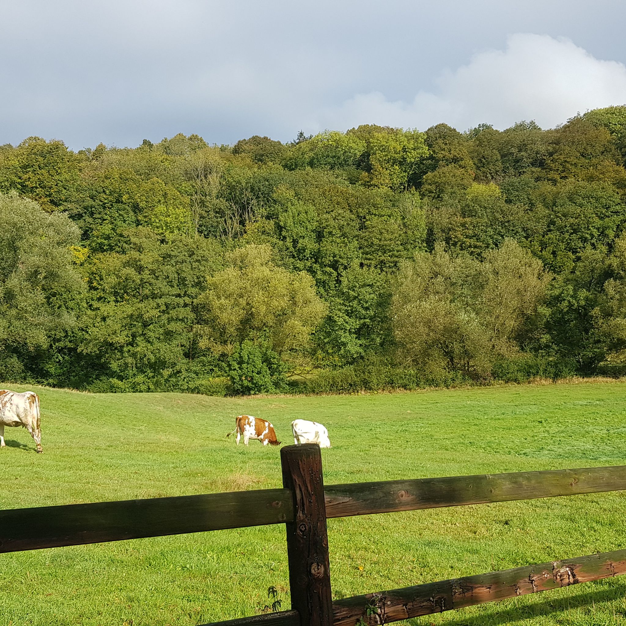
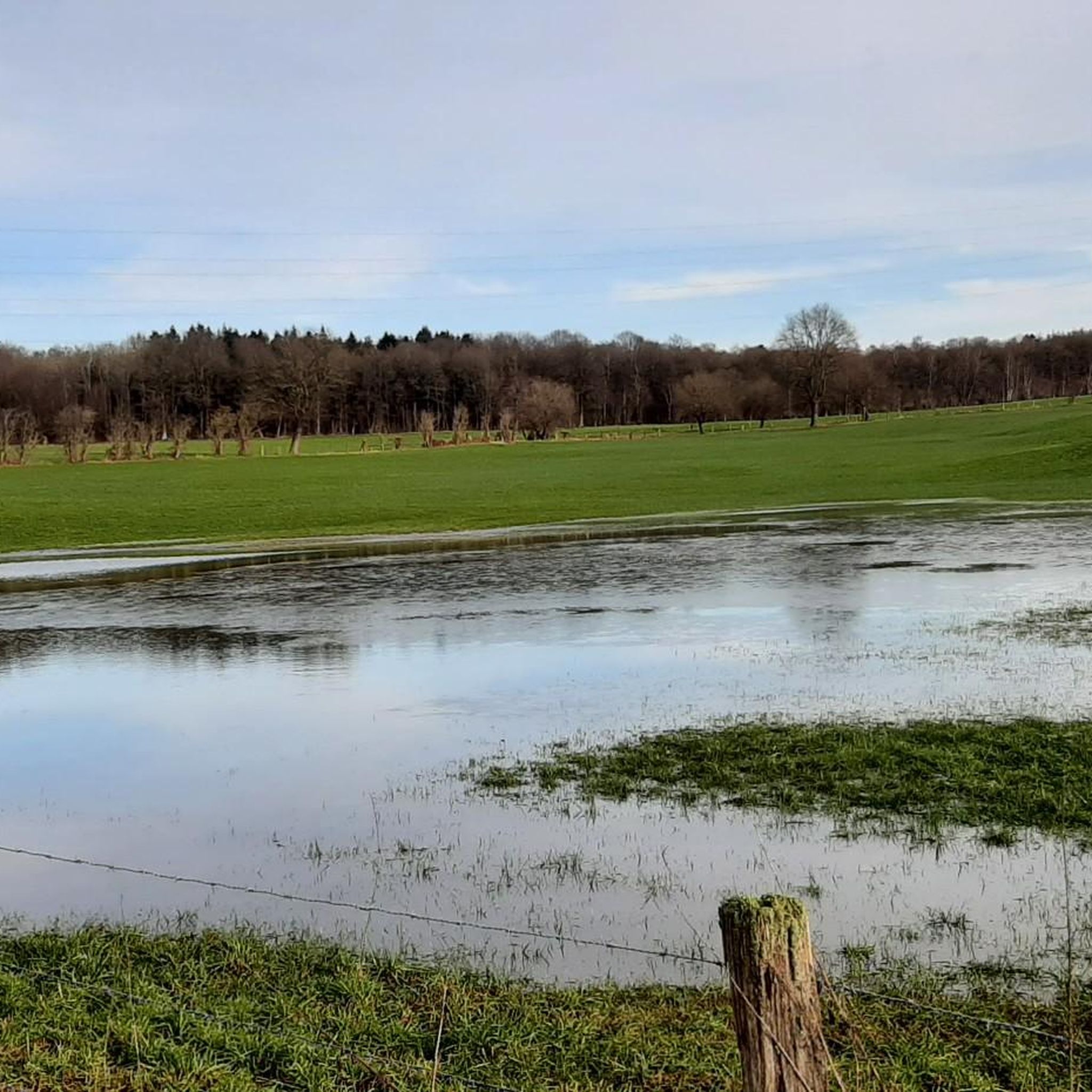
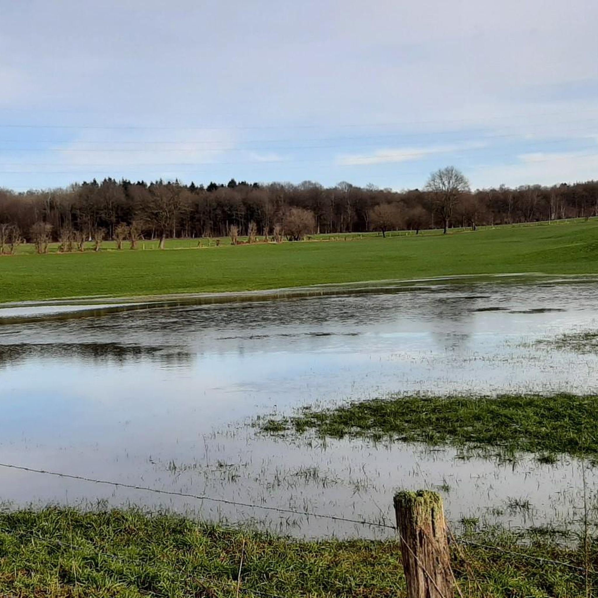
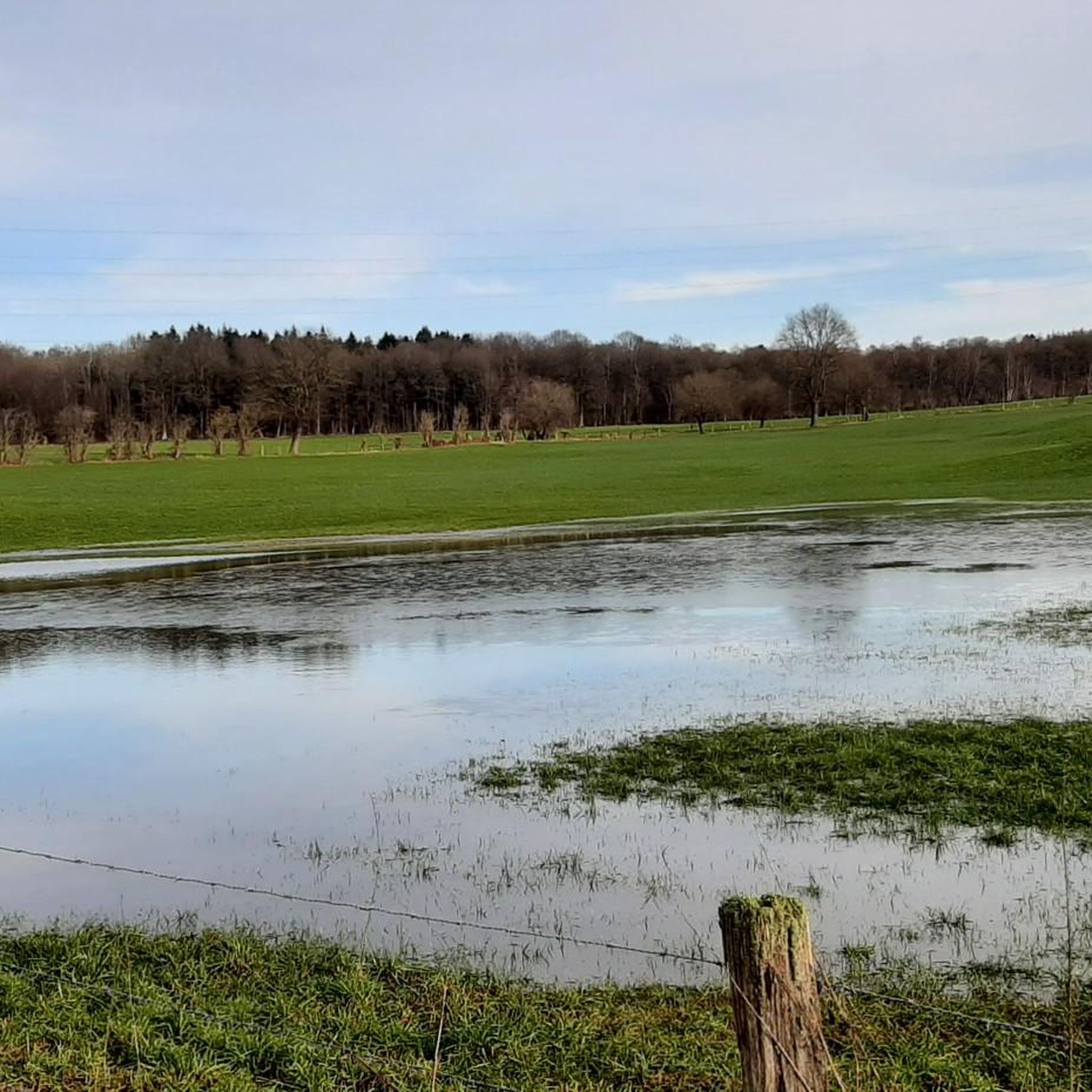

Tips from the Community

A really nice section
1
0
A wonderful section through the meadows
1
0

Pleasant place for pedestrians, horse riders and cyclists. Gravel and dirt path
0
0

Be a bit careful here, but the view is worth it.
2
0

It's beautiful to cycle here through the rolling farmlands.
1
0
The Ruisseau de Villers, also known locally as La Pancherelle, is a small stream that flows through the rural landscape of Écaussinnes and forms a tributary of the Sennette. The stream flows through a green, gently rolling valley characterized by wet meadows, forest edges, and old bridges.
3
0

Simply amazing but very steep as it starts at the foot of the rock...
6
0
The tough climb gives you its reward here...
7
0
Frequently Asked Questions
What kind of terrain and landscapes can I expect when running in Forêt domaniale de Grünhaut?
The Forêt domaniale de Grünhaut offers diverse landscapes with a mix of broadleaf and coniferous trees, providing varied scenery. You'll find well-maintained trails, often gravel forest paths, suitable for running. The region is known for its diverse plant growth, and in spring, you might even encounter wild lily of the valley and wild strawberries.
Are there many running routes available in Forêt domaniale de Grünhaut?
Yes, the Forêt domaniale de Grünhaut boasts an extensive network of trails. There are over 700 running routes available, catering to various fitness levels and preferences.
What are the typical distances and durations for running routes in this forest?
Running routes in Forêt domaniale de Grünhaut vary in distance and duration. For example, the Gravel Forest Path – Grunehaut loop from Hoyoux is about 8.8 km (5.4 miles) and takes around 57 minutes, while the Running loop from Hoof is about 8.0 km (5.0 miles) and typically takes 50 minutes. You'll find options ranging from shorter, easier runs to longer, more challenging trails.
Are there any easy running routes suitable for beginners in Forêt domaniale de Grünhaut?
Yes, the forest offers a good selection of easy running routes. Out of over 700 routes, 38 are classified as easy, making them perfect for beginners or those looking for a more relaxed run. These trails typically feature well-maintained paths with less elevation gain.
Can I bring my dog on the running trails in Forêt domaniale de Grünhaut?
While the guide doesn't specify dog-friendly policies, forests in Belgium generally welcome dogs on trails, often requiring them to be on a leash. It's always a good idea to check local signage upon arrival for any specific regulations regarding pets.
Are there any interesting sights or landmarks to see along the running routes?
Yes, several routes offer points of interest. You might encounter the picturesque paths along the Pancherelle river, leading to the Belvédère du Nez de Napoléon with views over the Vesdre valley. Other routes can reveal historical architecture, such as the 17th-century keep of the former Château de Villers, or the charming Chapelle Saint-Roch de Houyoux from 1740.
How challenging are the running routes in Forêt domaniale de Grünhaut?
The running routes in Forêt domaniale de Grünhaut cater to various fitness levels. While many are easily accessible and suitable for all, some routes, like the Champs de Wooz – Nez de Napoléon loop from Bilstain, can be more challenging, featuring up to 300 meters of elevation gain and requiring good physical condition. Overall, you'll find a mix of easy, moderate, and difficult options.
What do other runners enjoy most about jogging in Forêt domaniale de Grünhaut?
The area is highly rated by the komoot community, with an average score of 4.3 stars from over 600 reviews. Runners often praise the varied terrain, the peaceful forest atmosphere, and the well-maintained paths that make for an enjoyable experience. Over 21,000 runners have used komoot to explore these trails.
Are there many circular running routes available?
Yes, many of the running routes in Forêt domaniale de Grünhaut are designed as loops, allowing you to start and finish at the same point. Examples include the Grunehaut – Gravel Forest Path loop from Hoyoux and the Grunehaut – Gravel Forest Path loop from Hoof, which are popular choices among local runners.
When is the best time of year to go running in Forêt domaniale de Grünhaut?
The forest offers a pleasant running experience throughout the year. Spring is particularly enchanting with the fragrance of wild lily of the valley. The diverse tree cover provides shade in summer, and autumn brings beautiful foliage. Even in winter, the well-maintained paths can be suitable for running, depending on weather conditions.
How can I access Forêt domaniale de Grünhaut, and is there parking available?
The Forêt domaniale de Grünhaut is located north of Bilstain on the Welkenraedt plateau. While specific parking areas aren't detailed in the guide, forests of this size typically have designated parking spots near trailheads. The forest is also divided by a highway and railway, suggesting good accessibility by car. For more detailed access information, you might consult local tourism resources like Limbourg Tourisme.
Most popular routes around Forêt domaniale de Grünhaut

Get inspired with the komoot mobile app


Explore more
Browse the best Running Trails & Routes in other regions.
