The best cycling routes around Heidebos
4.4
(546)
5,608
riders
410
rides
Touring cycling routes around Heidebos traverse a diverse landscape characterized by expansive heathlands, dense forests, and tranquil fens. The region offers a mix of terrain, including pine forests, shifting dunes, and marshlands, providing varied views. Routes often feature quiet areas, such as along the Stekense Vaart, which add a cultural dimension to the natural scenery. The elevation changes are generally minimal, making the area suitable for accessible touring cycling.
Best touring cycling routes around Heidebos
- The most popular touring cycling…
Last updated: July 4, 2026
4
riders
Easy bike ride. Great for any fitness level. Mostly paved surfaces. Suitable for all skill levels.
5.0
(1)
4
riders
Easy bike ride. Great for any fitness level. Mostly paved surfaces. Suitable for all skill levels.

Sign up for free
4
riders
Easy bike ride. Great for any fitness level. Mostly paved surfaces. Suitable for all skill levels.
4.0
(1)
4
riders
Easy bike ride. Great for any fitness level. Mostly paved surfaces. Suitable for all skill levels.
3.8
(5)
104
riders
33.8km
02:17
30m
30m
Moderate bike ride. Good fitness required. Mostly paved surfaces. Suitable for all skill levels.
Get access to more routes and recommendations from other explorers.
Sign up for free
Already have an account?
Our route recommendations are based on thousands of hikes, rides, and runs completed by other people on komoot.
Start today with a free account
Your next adventure awaits.
Login or Signup
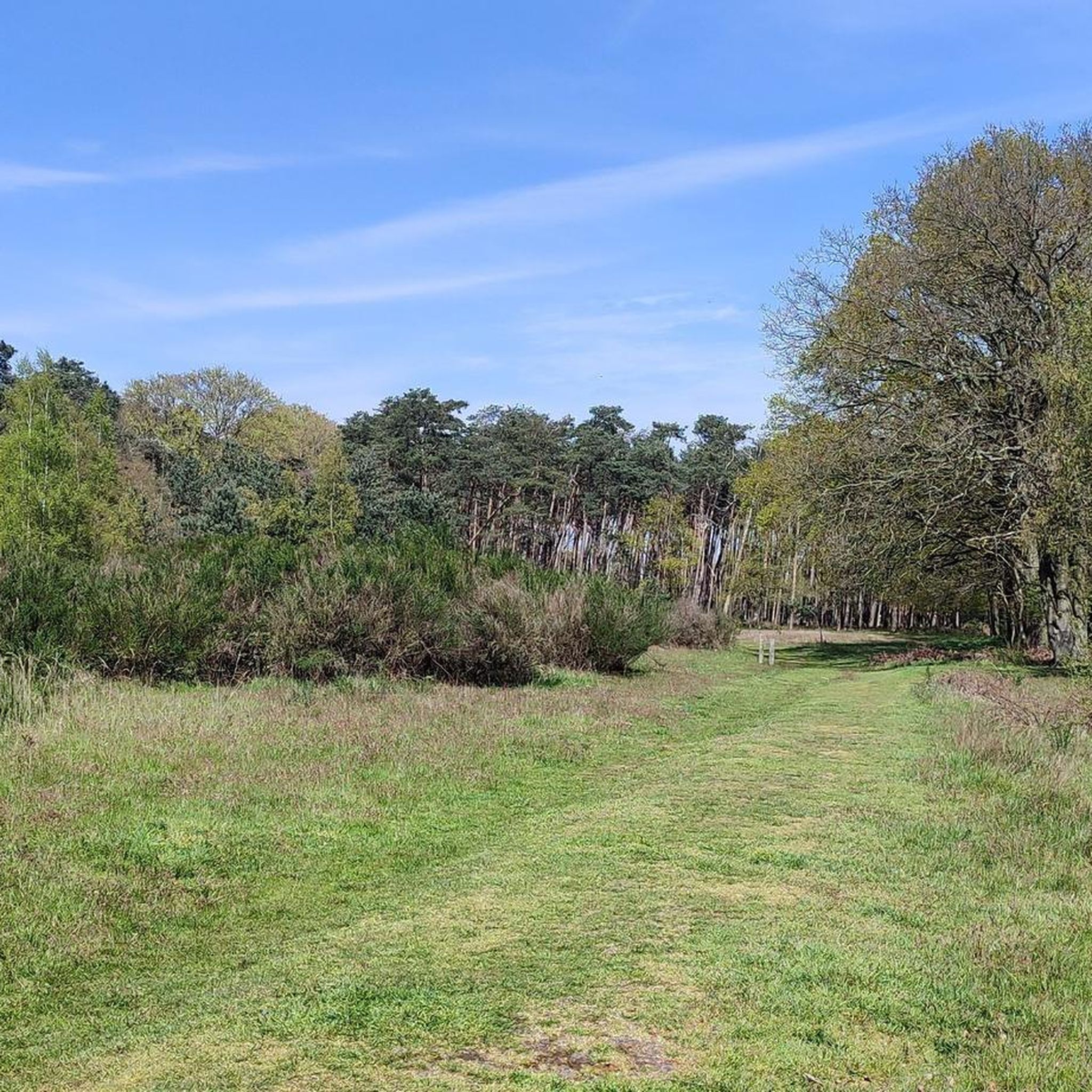
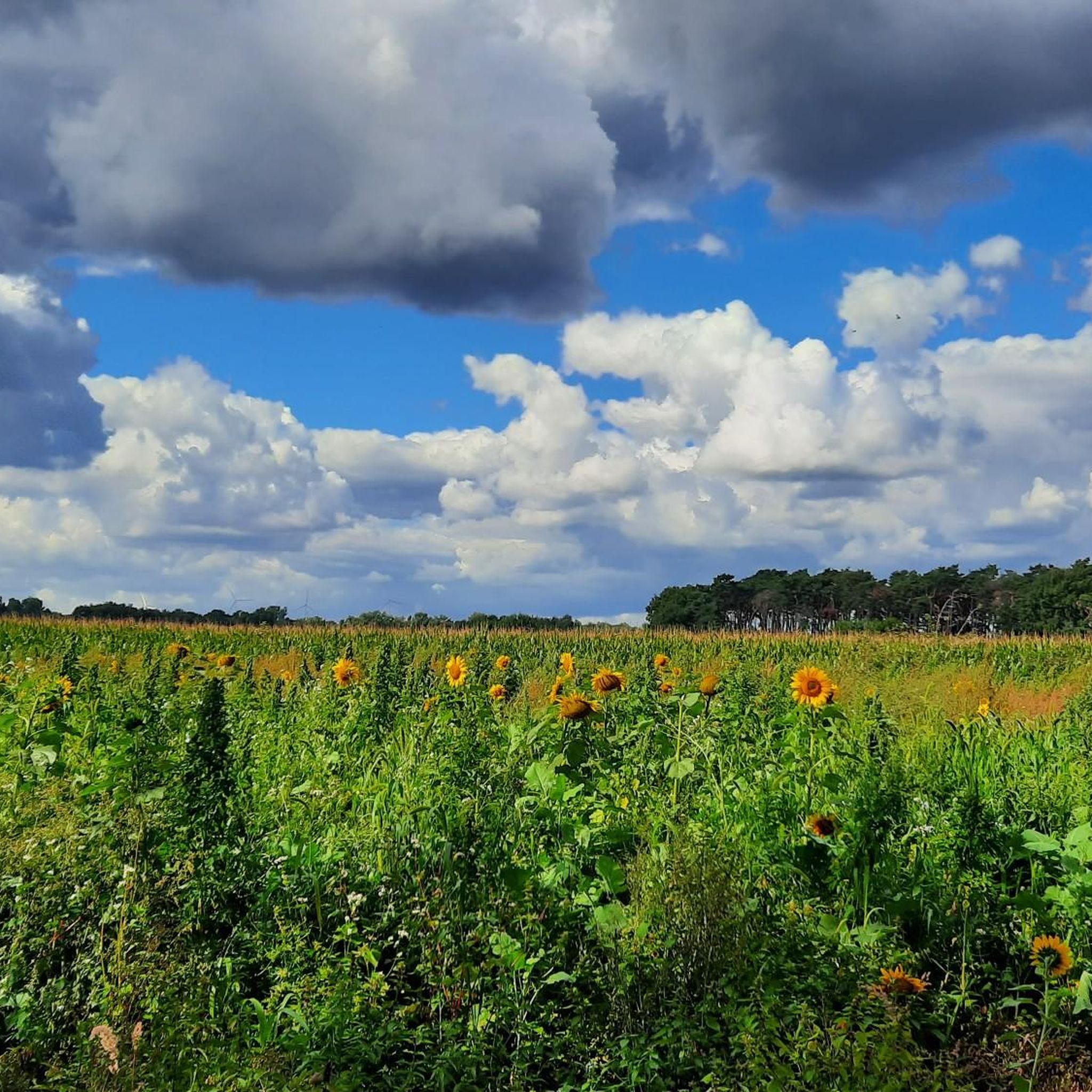
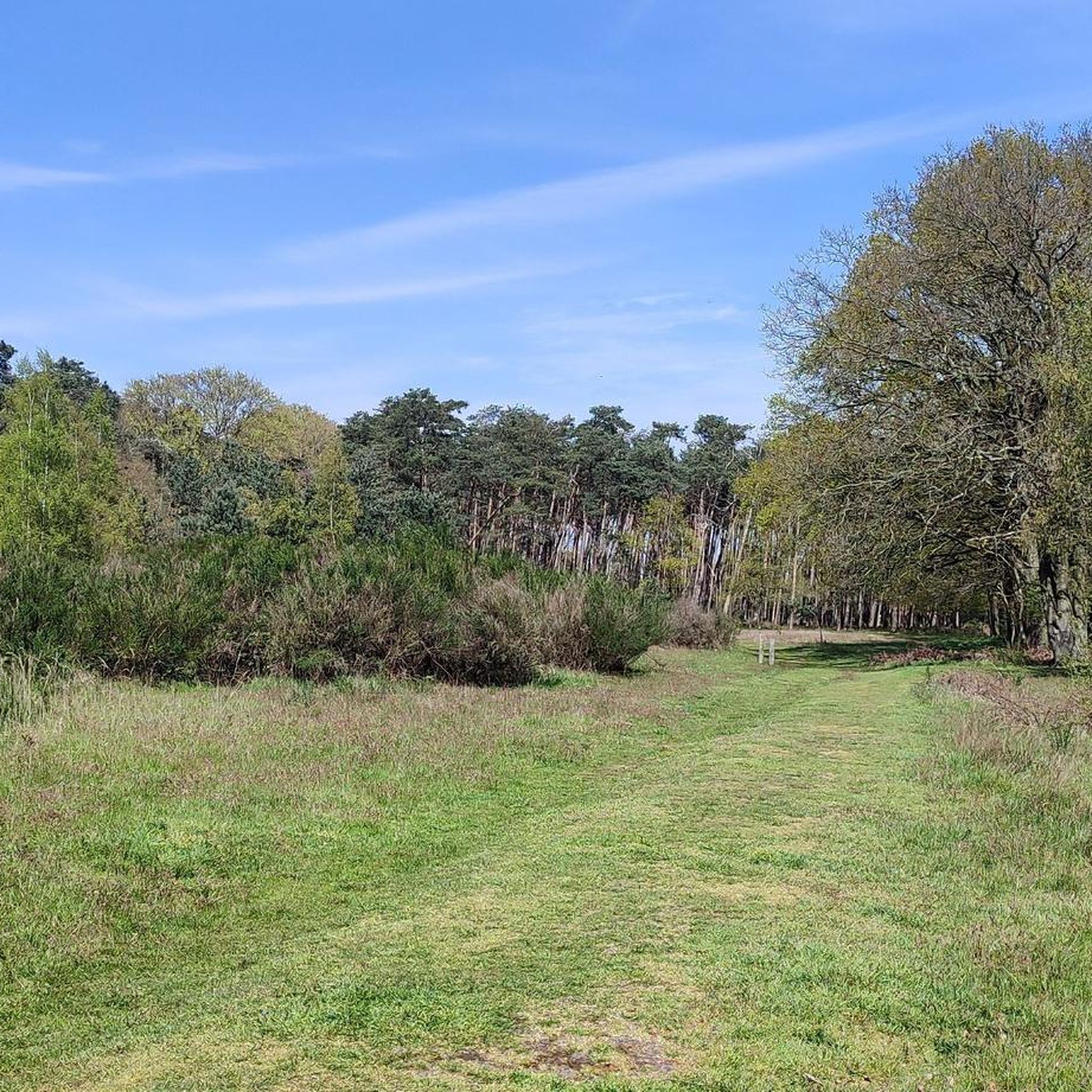
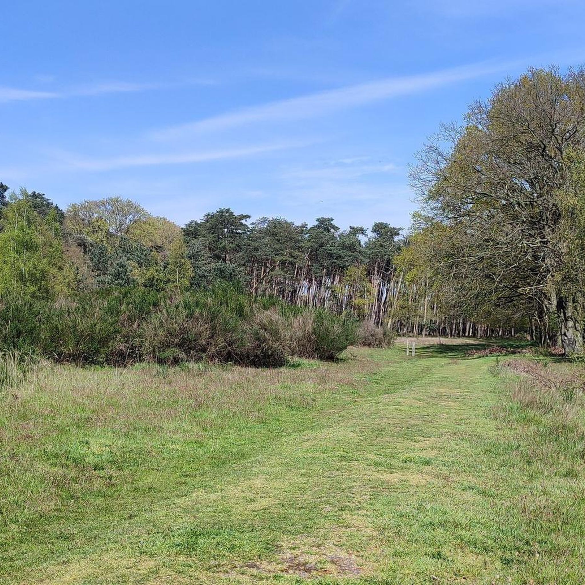

Tips from the Community

beautiful forest with fauna and flora
0
0

Discover Fort Sint-Joseph, a special place full of history in the Zeeuws-Vlaanderen landscape. Together with forts Sint-Jacob and Sint-Livinus, this fort is part of the historical line of communication between Sas van Gent and Hulst. These defensive structures were built in 1634 by the Spanish as simple, square forts and served as outposts along the creeks and salt marshes. On this historical line, you will encounter the remnants of the fort. Imagine soldiers once looking out over the landscape from watch houses – small observation towers that guarded the area. The forts were surrounded by a wide moat of over 10 meters and were only accessible via a bridge, making them extra defensible. 💡 Did you know… The name of a fort immediately revealed which side of the line it was on? Spanish forts, like Sint-Joseph, were named after saints. Dutch (Protestant) forts, on the other hand, had earthly, often humorous names that reflected the harsh soldier's life, such as Misère, Boerenverdriet, or Kaas en Brood. A visit to Fort Sint-Joseph is not just a walk in nature, but also a journey back in time along the borders of the Spanish-Dutch lines.
5
0

The Dambrug bridge dates from the interwar period and was restored and partially renewed around 1945 after war damage. Originally, the bridge was manually operated, but it now has hydraulic operation. Source: Inventaris Onroerend Erfgoed
3
0
On Friday, April 5, 1867, the Spletterenbrug was officially opened. Between Moerbeke and Lokeren, trains stopped in Daknam and Eksaarde. In Moerbeke, travelers could transfer to railway line 77 towards Zelzate or towards Sint-Gillis-Waas. That the intention was to one day double the 9-kilometer railway line to two tracks is still visible on the Spletterenbrug. Both bridge abutments are indeed twice as wide as the bridge deck itself. It never came to that. On the contrary. The railway line suffered during both world wars, causing traffic to be suspended for months. For example, retreating German soldiers blew up the bridge at the end of World War I. Less than a year after the armistice, in September 1919, the line was already restored and trains could run on the route again. In 1940, the Belgian army, in turn, tried to slow down the German advance by destroying the bridge. The bridge was repaired again. In 1971, the last train chugged along the route. After more than a century of train traffic, the tracks were dismantled and the route was redeveloped as a cycling and walking path from Lokeren to Moerbeke. The Spletterenbrug itself was preserved and restored in 2017. The seven layers of paint were removed, and the bridge regained its original, dark gray color. Source: industriecultuur.be
4
0
Bovendurme? The naming of the different waters in the vicinity is sometimes quite confusing and requires an explanation: The Bovendurme is the part of the Durme located in the Ghent canals basin. The river begins at the confluence between the Zuidlede and the Moervaart near Daknam. It then flows further along Daknam and through the center of Lokeren, and flows into the Benedendurme near the Molsbroek. Previously, the Bovendurme and Benedendurme were one river called the Durme. But due to regular floods, a dam was built at the Molsbroek, which split the river into two parts. Because of this, the Benedendurme is often still called the "Durme", but the Bovendurme is mistakenly referred to as the Moervaart. Wikipedia
4
0
Daknambrug in Daknam, a sub-municipality of Lokeren. This charming swing bridge over the Durme is located at the site of a former ferry crossing on the old Lille-Tilburg highway. Such a ferry served as a bridge to transport people, livestock, horses, and vehicles. The current swing bridge has replaced a small wooden bridge since the 1930s. At that time, the Durme was straightened here between the confluence of the Zuidlede and Moervaart at Spletterenbrug and the bend near Middendam. In the summer, you can see the bridge keeper opening the bridge to let pleasure boats pass, sailing to or from Lokeren.
5
0
Opened on October 1, 2012, the Brug Ter Beuken provides a safe and green connection to the city center. It has since become a fixed landmark in the landscape: the beautiful red cycle and footbridge that spans the Durme at the end of Vijgenstraat. The bridge is 21m long. Source: axiradio.be
4
0

Frequently Asked Questions
How many touring cycling routes are available in the Heidebos area?
The Heidebos region offers a wide selection of touring cycling routes, with nearly 400 options available. These routes cater to various preferences, including over 250 easy rides and more than 120 moderate challenges.
What kind of terrain and difficulty levels can I expect on touring cycling routes in Heidebos?
Touring cycling routes in Heidebos feature a diverse landscape of expansive heathlands, dense forests, and tranquil fens. You'll encounter varied terrain, including pine forests, shifting dunes, and marshlands. The elevation changes are generally minimal, making most routes accessible. While over 250 routes are classified as easy, there are also more than 120 moderate routes and a few challenging options for those seeking a greater workout.
Are there family-friendly touring cycling routes in Heidebos?
Yes, Heidebos is an excellent destination for family-friendly touring cycling. Many routes are easy with minimal elevation, perfect for all ages. A great option is the Heidebos Nature Reserve – Forest Path in Heidebos loop from Moerbeke, which is 4.4 miles (7.1 km) long and takes about 35 minutes to complete through the heart of the nature reserve.
Can I find circular touring cycling routes in Heidebos?
Many of the touring cycling routes in Heidebos are designed as loops, allowing you to start and end at the same point. For example, the Gravel path through the Heidebos – Border Post 300 Overslag loop from Moerbeke is an easy 9.9-mile (15.9 km) circular path that winds through heathland and past historical border markers.
What are some notable natural features or viewpoints along the touring cycling routes?
Heidebos offers picturesque views of its heathlands, forests, and fens. Specific quiet areas, such as both banks of the Stekense Vaart, provide exceptionally beautiful scenery. You can also find a View of the restoration of flower-rich grassland, offering a glimpse into the region's biodiversity efforts. The varied terrain ensures constantly changing views throughout your ride.
Are there any historical or cultural elements to discover while cycling in Heidebos?
Yes, the region integrates historical and cultural elements into its natural scenery. The Stekense Vaart (or Kanaal van Stekene), for instance, was dug in 1315 and adds a cultural dimension to the natural landscape. Routes like the Gravel path through the Heidebos – Border Post 300 Overslag loop from Moerbeke pass historical border markers, connecting you with the area's past.
What do other touring cyclists enjoy most about cycling in Heidebos?
The touring cycling routes in Heidebos are highly rated by the komoot community, with an average score of 4.5 stars from over 470 reviews. Cyclists often praise the diverse landscapes, the well-maintained paths, and the peaceful atmosphere. Over 5000 touring cyclists have used komoot to explore the varied terrain, highlighting its popularity and appeal.
Are dogs allowed on the touring cycling routes in Heidebos?
While the guide data does not specify dog-friendly rules for every route, many natural areas in Flanders welcome well-behaved dogs on a leash. It's always recommended to check local signage or specific route descriptions for any restrictions before heading out with your canine companion.
Are there any longer touring cycling routes for more experienced cyclists?
For those looking for a longer ride, the Stekense Canal – Moervaart Towpath loop from De Reepkens is a moderate 26.8-mile (43.1 km) route. This trail offers a more extended experience, taking you along scenic waterways and towpaths, and typically requires good fitness to complete.
Where can I park my car when visiting Heidebos for a cycling trip?
There are designated parking areas available for cyclists. One convenient option is the Heidebos Trailhead — Parking 2, which provides access to various routes within the nature reserve.
What is the best time of year to go touring cycling in Heidebos?
Heidebos offers beautiful cycling experiences throughout the year. In late summer, the heathlands blossom into a vibrant purple, creating a particularly scenic backdrop. The forests provide calm, shady routes during warmer months, while the varied terrain ensures constantly changing views in any season.
Are there any unique cycling experiences in the broader region near Heidebos?
Beyond Heidebos itself, the broader Flanders region offers innovative cycling experiences. You might consider exploring 'Cycling through the Trees' in Bosland or 'Cycling through the Heathland' in Hoge Kempen National Park, which provide unique elevated perspectives of the landscape. More information can be found on Visit Flanders.
Are there facilities like resting benches or viewpoints along the routes?
Yes, you can find facilities to enhance your cycling experience. For instance, there is a Sturdy resting bench in Heidebos where you can take a break and enjoy the surroundings. Many routes also offer natural viewpoints to appreciate the diverse landscapes.
Most popular routes around Heidebos
Most popular attractions around Heidebos

Get inspired with the komoot mobile app


Explore more
Browse the best Cycling routes in other regions.
