The best cycling routes around Куропаты
5.0
(3)
103
riders
14
rides
Touring cycling routes around Куропаты traverse a forest tract characterized by gentle terrain and proximity to water bodies. The area features paths alongside the Tsnyanka River and various forest ponds. Routes often include sections near embankments and lakes, offering a mix of natural and semi-urban landscapes. The elevation changes are generally modest, making it suitable for various cycling abilities.
Best touring cycling routes around Куропаты
- The most popular touring cycling route is Ford on the Tsnyanka River – Bridge Over…
Last updated: June 25, 2026
6
riders
11.3km
00:43
70m
70m
Easy bike ride. Great for any fitness level. Mostly paved surfaces. Suitable for all skill levels.
3
riders
68.4km
05:21
390m
390m
Hard bike ride. Very good fitness required. You may need to push your bike for some segments of this route.

Sign up for free
Hard bike ride. Very good fitness required. Mostly paved surfaces. Suitable for all skill levels.
5.0
(1)
30
riders
21.1km
01:17
100m
100m
Easy bike ride. Great for any fitness level. Mostly paved surfaces. Suitable for all skill levels.
9
riders
10.9km
00:38
60m
60m
Easy bike ride. Great for any fitness level. Mostly paved surfaces. Suitable for all skill levels.
Get access to more routes and recommendations from other explorers.
Sign up for free
Already have an account?
Our route recommendations are based on thousands of hikes, rides, and runs completed by other people on komoot.
Start today with a free account
Your next adventure awaits.
Login or Signup
Popular around Куропаты

Tips from the Community

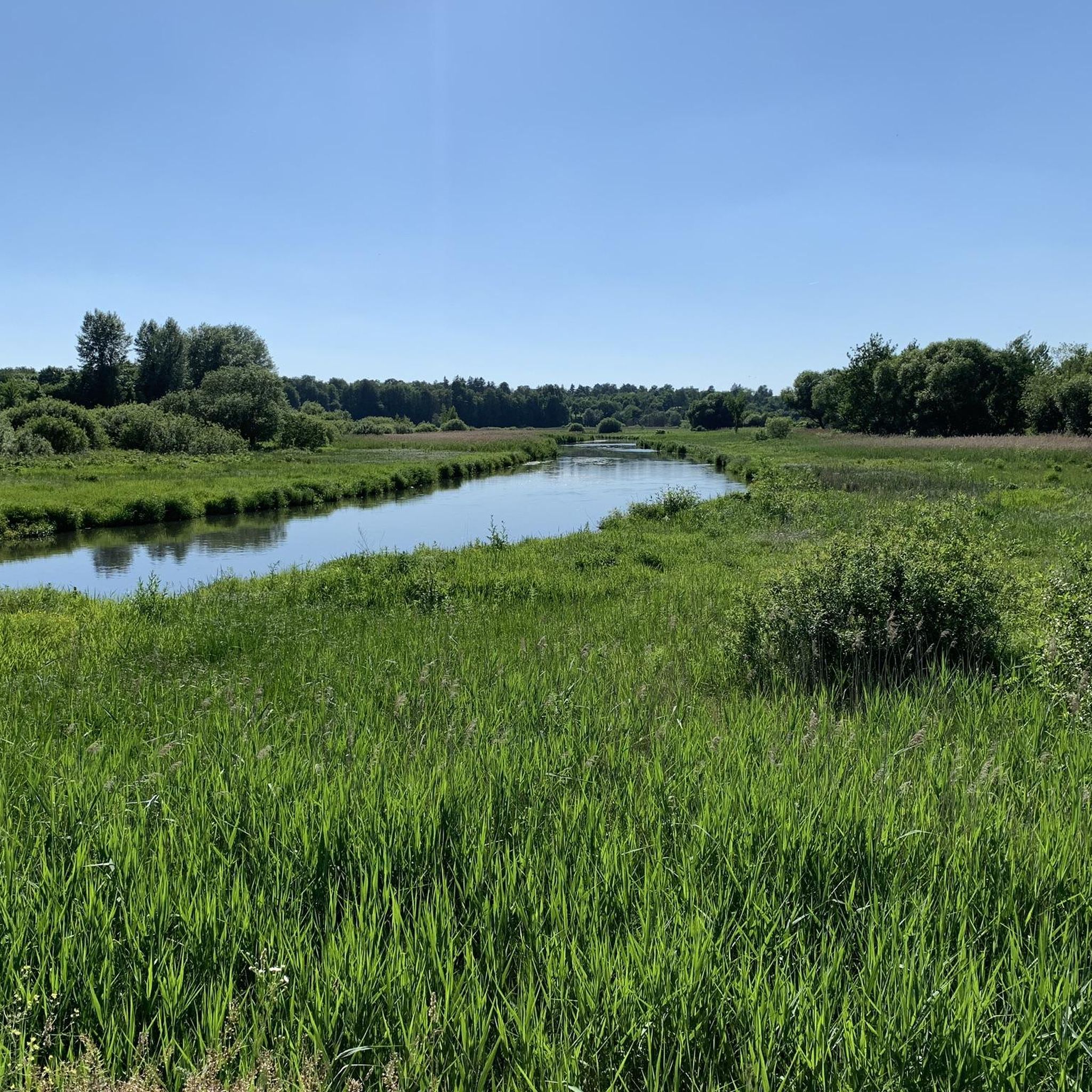
Цна (Цнянка; бел. Цна) — левый приток Свислочи, река Минского района Беларуси. Длина реки — 14 км, площадь водосборного бассейна — 70 км². Имеются изменения в водосборной площади при градостроительном освоении. https://ru.wikipedia.org/wiki/Цна_(приток_Свислочи)
1
0
Глебкаўка, Глебаўка — рака ў Мінскім і Смалявіцкім раёнах Беларусі, правы прыток ракі Волмы (басейн Дняпра). Даўжыня 7 км. Пачынаецца за 1 км на паўночны захад ад вёскі Глебкавічы Мінскага раёна, вусце каля вёскі Волма Смалявіцкага раёна. Рэчышча каналізаванае на ўсім працягу. Па берагах ракі пераважае лес. https://be.wikipedia.org/wiki/Глебкаўка_(рака)
0
0
Вяча — рака ў Лагойскім і Мінскім раёнах Беларусі, колішні прыток Свіслачы (басейн Дняпра), упадае ў Заслаўскае вадасховішча. https://be.wikipedia.org/wiki/Вяча_(рака)
0
0
Искусственный водопад (Минск) https://wikimapia.org/19717904
0
0

In fact, the first waterfall of the water system after it leaves the collector.
0
0

A nice place for a good photo)
0
0

It stands quietly and empty near the railway. It is possible to climb carefully.
0
0
A great place to take a break, have a snack, and enjoy the sunset.
0
0
Frequently Asked Questions
How many touring cycling routes are available around Куропаты?
There are nearly 40 touring cycling routes recorded around Куропаты on komoot, offering a variety of options for different skill levels and preferences.
What is the general terrain like for touring cycling near Куропаты?
The terrain around Куропаты is generally gentle, characterized by a forest tract with modest elevation changes. Routes often follow paths alongside the Tsnyanka River, various forest ponds, and embankments, providing a mix of natural and semi-urban landscapes.
Are there any easy touring cycling routes suitable for beginners or families?
Yes, there are 16 easy touring cycling routes around Куропаты. An excellent option is the Embankment loop from Kurapaty, which is an easy 6.3-mile (10.1 km) path offering open views and a relatively flat profile, making it suitable for a relaxed ride.
Are there any longer or more challenging touring routes?
For those seeking a moderate challenge, there are 15 moderate routes and 7 difficult routes. A longer moderate option is the Ford on the Tsnyanka River – Bridge Over Pond loop from Kurapaty, which spans 16.7 miles (26.9 km) and includes varied terrain and river crossings.
What do other touring cyclists say about the routes around Куропаты?
The routes around Куропаты are highly rated by the komoot community, with an average score of 4.3 stars from over 40 reviews. Many touring cyclists appreciate the varied terrain, the peaceful forest paths, and the scenic views along rivers and ponds.
Are there any circular touring cycling routes?
Yes, many routes around Куропаты are designed as loops. For example, the Forest Pond – Yellow Sphere Sculpture loop from Kurapaty is a 10.6-mile (17.0 km) circular trail that takes you through the forest and past a pond.
Can I access these cycling routes using public transport from Minsk?
While the guide focuses on the routes themselves, Куропаты is located on the northeastern border of Minsk. Public transport options from Minsk to the vicinity of Куропаты would likely involve buses or marshrutkas, allowing access to the starting points of many routes. It's advisable to check local Minsk public transport schedules for the most current information.
Is there parking available near the cycling routes?
Given its proximity to Minsk and its status as a memorial site, there are likely parking facilities available in the surrounding areas of Куропаты, especially near access points to the forest tract. Specific parking details for individual route starting points may vary.
What is the best time of year for touring cycling around Куропаты?
The gentle terrain and forest paths suggest that spring, summer, and early autumn would be ideal for touring cycling around Куропаты, offering pleasant weather and lush scenery. Winter cycling might be possible but would depend on snow and ice conditions.
Are there any cafes or places to stop for refreshments along the routes?
While specific cafes directly on the forest paths are not detailed, the area's proximity to Minsk means that amenities, including cafes and shops, would be accessible in nearby residential areas or within a short ride from the main cycling zones.
What kind of natural features can I expect to see on these routes?
The routes frequently feature natural elements such as the Tsnyanka River, various forest ponds, and general forest landscapes. You'll experience a blend of natural tranquility and views of water bodies, characteristic of the region's gentle topography.
Is the area around Куропаты suitable for long-distance touring?
While many routes are shorter loops, there are options for longer rides, such as the Minsk Ring Road Underpass – Lake in Okolitsa loop from Маскоўская, which covers over 27 miles (44 km). Combining several routes could also create a longer touring experience.

Get inspired with the komoot mobile app


Explore more
Browse the best Cycling routes in other regions.
