The best walks and hikes around Kobernaußer Forest
4.5
(1889)
11,540
hikers
99
hikes
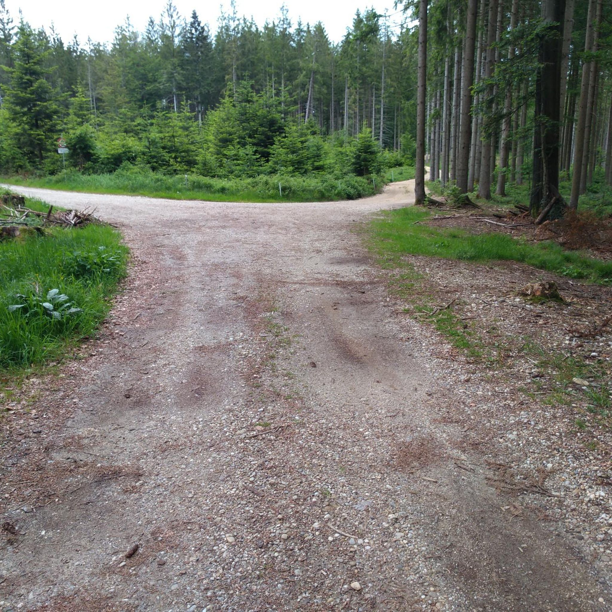
Hiking around Kobernaußer Forest offers diverse trails through a landscape characterized by magnificent forests and rolling hills in Upper Austria. The region features a variety of tree species, including spruce, beech, and fir, contributing to its natural beauty. The highest elevation, Die Schranne, reaches 727 meters above sea level. This area provides a tranquil setting for outdoor activities, with paths suitable for various fitness levels.
Best hiking trails around Kobernaußer Forest
- The most popular hiking route is Hiking loop from…
Last updated: July 1, 2026
4.3
(11)
98
hikers
4.24km
01:07
40m
40m
Easy hike. Great for any fitness level. Easily-accessible paths. Suitable for all skill levels.
4.4
(16)
58
hikers
11.3km
03:07
190m
190m
Moderate hike. Good fitness required. Easily-accessible paths. Suitable for all skill levels.

Sign up for free
3.8
(6)
35
hikers
5.44km
01:37
160m
160m
Easy hike. Great for any fitness level. Easily-accessible paths. Suitable for all skill levels.
4.8
(5)
49
hikers
4.15km
01:16
140m
140m
Easy hike. Great for any fitness level. Easily-accessible paths. Suitable for all skill levels.
4.6
(5)
19
hikers
5.39km
01:35
150m
150m
Easy hike. Great for any fitness level. Easily-accessible paths. Suitable for all skill levels.
Get access to more routes and recommendations from other explorers.
Sign up for free
Already have an account?
Our route recommendations are based on thousands of hikes, rides, and runs completed by other people on komoot.
Start today with a free account
Your next adventure awaits.
Login or Signup
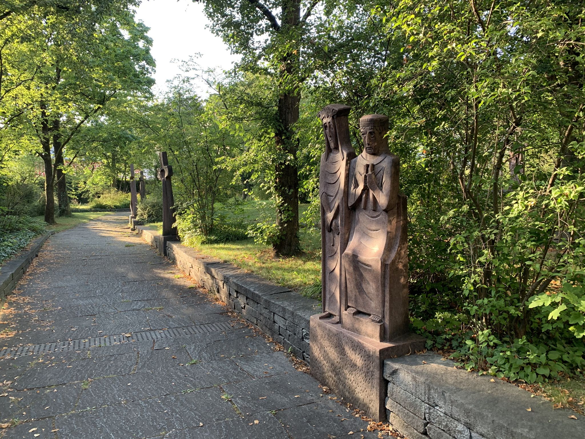
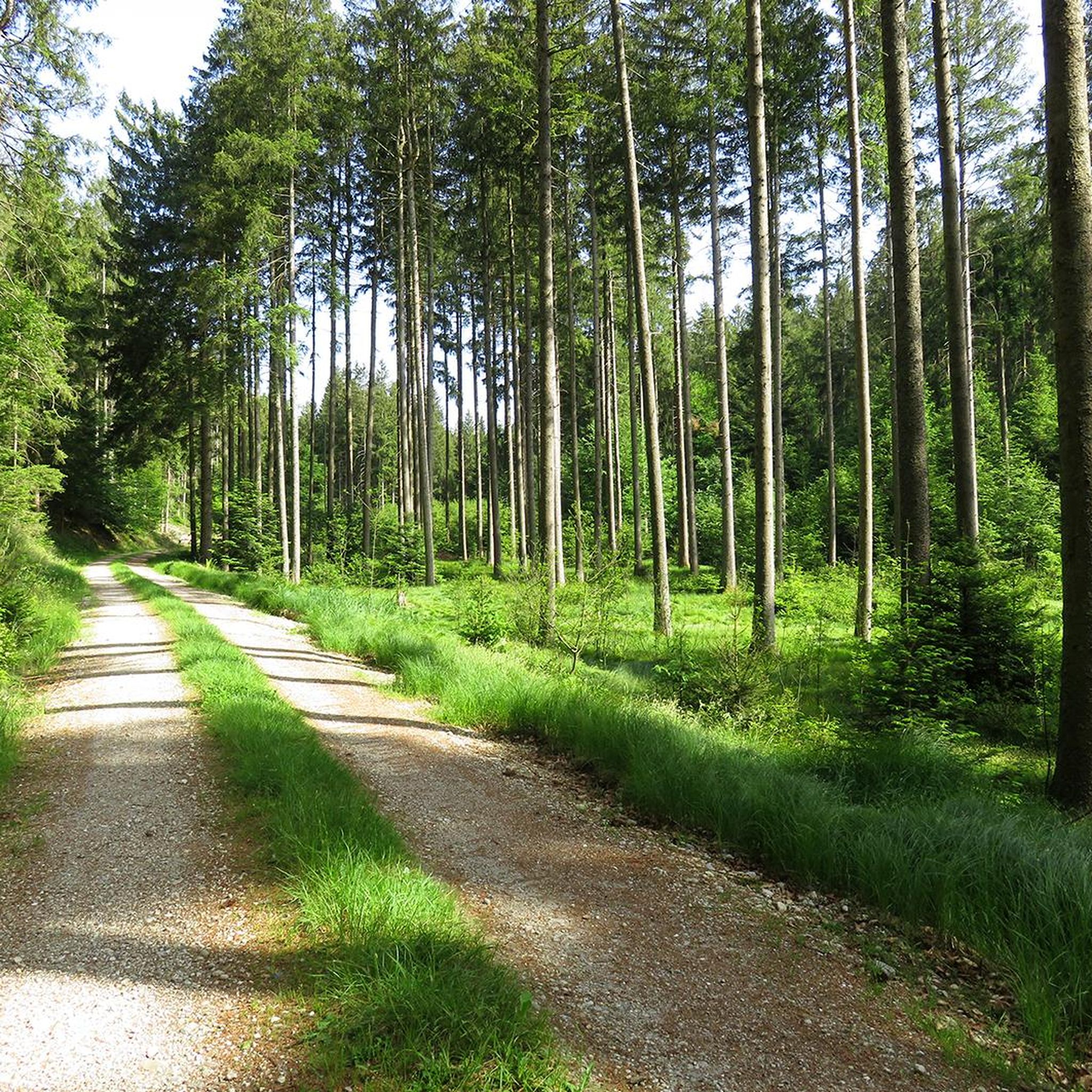
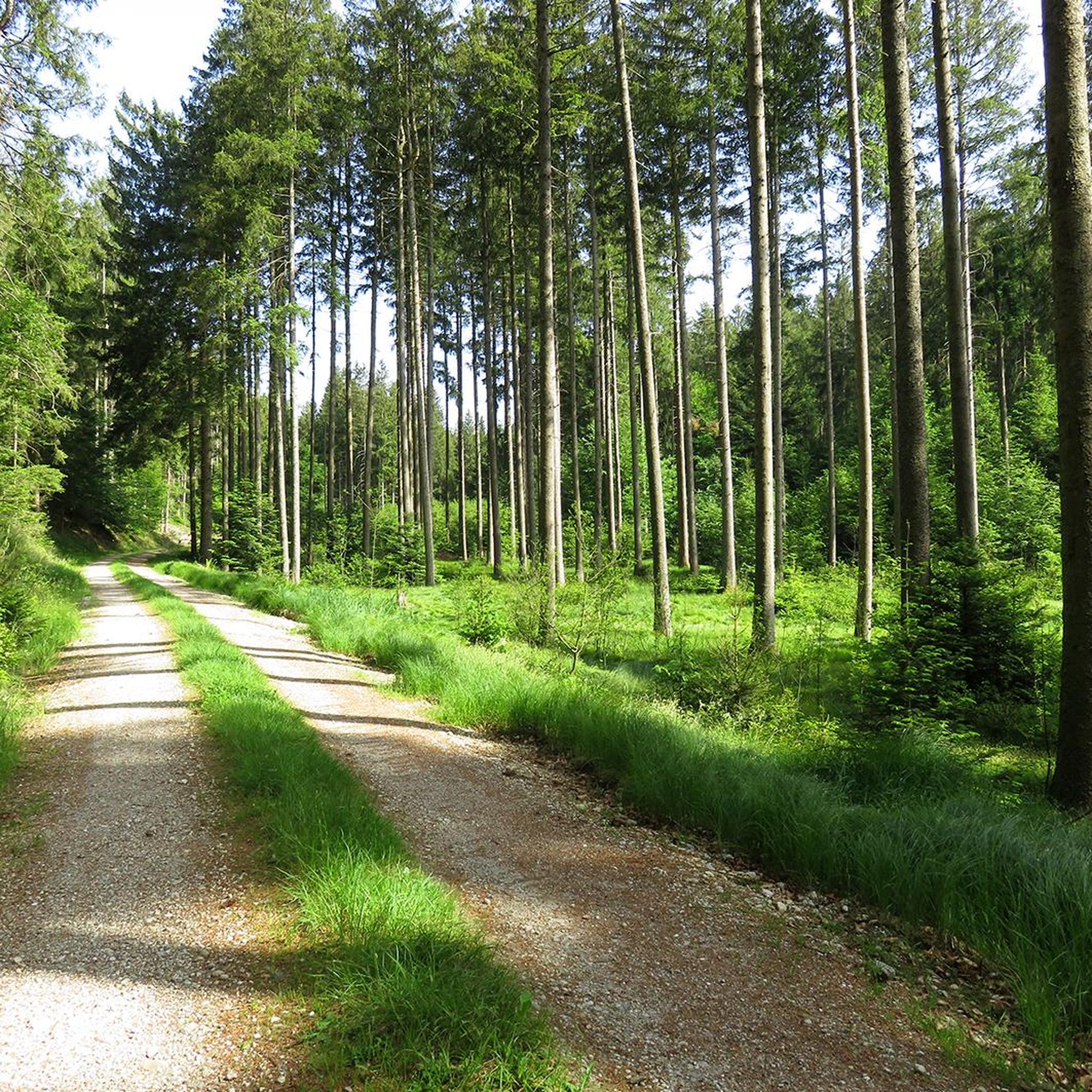
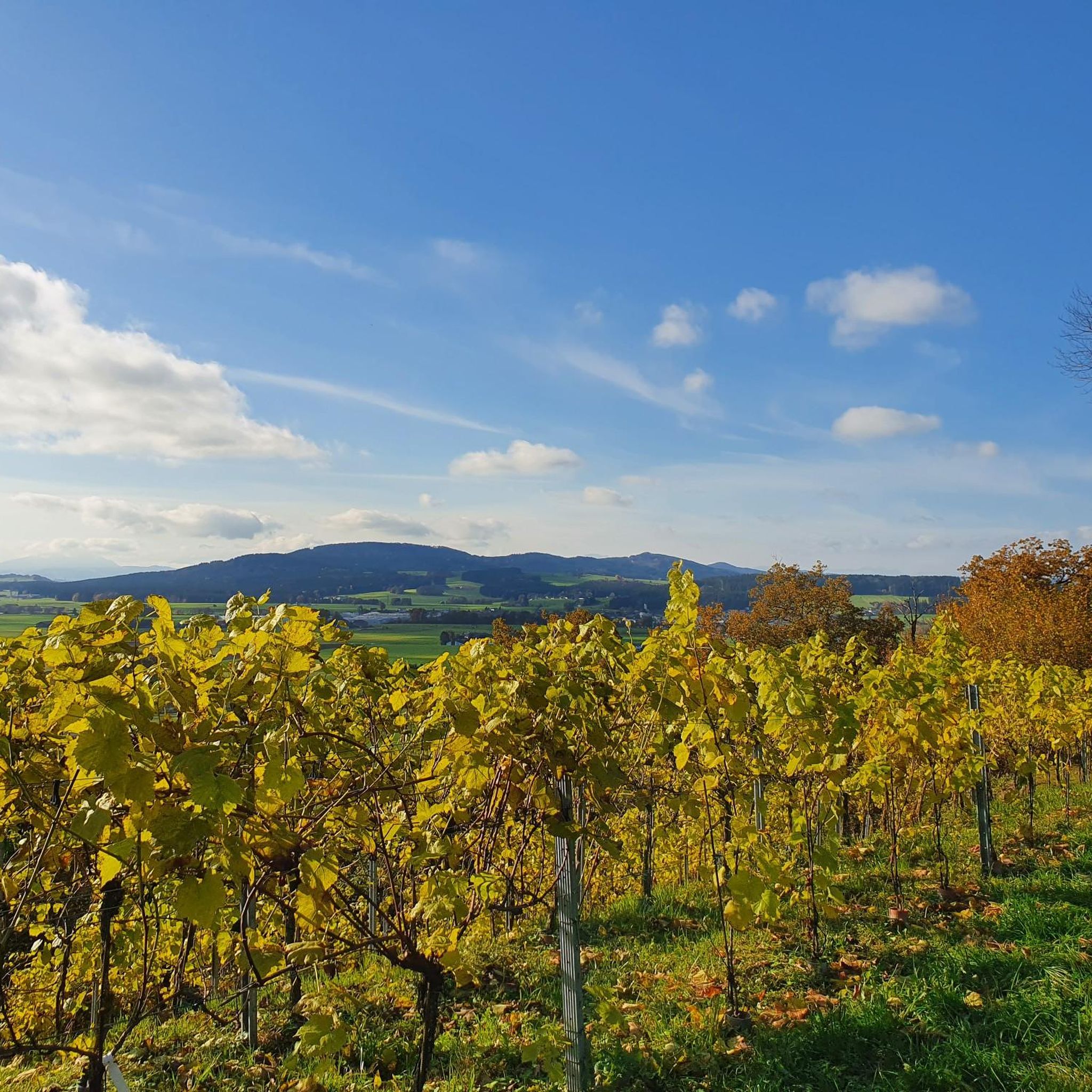

Other adventures around Kobernaußer Forest

Tips from the Community


It is a very idyllic place, here you have a beautiful view of the mountains, you can even see the Watzmann in Berchtesgadener Land!
0
0

There are some steep climbs on the way up to the wind farm. It is interesting to see the wind farm. Unfortunately there is no view as the wind edges were built into the forest.
0
0

a great route, lots of nature no traffic and great views and surroundings
0
0


Many roads lead to Rome". The legend trail was designed by school children. On the Schlossberg there is a box with hiking maps of the beautiful circular routes.
0
0
The tour can be extended over the forest lake. On the Bibelweg, which starts at the roundabout, you will find a particularly large number of forest cribs. Especially many at Christmas time, but also during the year. The path is not suitable for prams. A stop at Café Heinzl is always worthwhile.
0
0
Frequently Asked Questions
What kind of terrain can I expect when hiking in Kobernaußer Forest?
Kobernaußer Forest is characterized by magnificent forests and rolling hills. You'll find a diverse landscape with various tree species like spruce, beech, and fir. The trails range from easily accessible paths suitable for family walks to more challenging routes with elevation gains up to 3,000 feet, requiring good fitness and sure-footedness.
Are there any easy or beginner-friendly hiking trails in Kobernaußer Forest?
Yes, Kobernaußer Forest offers many easy trails perfect for beginners or a relaxed outing. For example, the Hiking loop from Naturerlebnisweg und Motorikpark is an easy 2.6-mile (4.2 km) route that takes just over an hour. Another accessible option is the Forest Chapel loop from Friedburg, which is 2.6 miles (4.1 km) long.
What are some notable natural features or landmarks to see in Kobernaußer Forest?
The forest is home to several interesting natural features. A significant attraction is the Riesentanne (Giant Fir) in the Weißenbachtal, which you can reach via a beautiful hike through beech stands. The highest point in the vicinity is Die Schranne, at 727 meters above sea level. You can also explore the Kobernauserwald Forest Trail itself, which offers a great overview of the area.
Are there any family-friendly hiking options in Kobernaußer Forest?
Absolutely. Kobernaußer Forest is well-suited for family outings, offering easy, family-friendly walks and even themed hiking trails. The Hiking loop from Naturerlebnisweg und Motorikpark is a great choice for families, providing an accessible experience through natural surroundings.
Can I bring my dog on the hiking trails in Kobernaußer Forest?
Generally, Kobernaußer Forest is a welcoming environment for dogs, as it's a natural forest area. Many trails are suitable for walks with your canine companion. However, always ensure your dog is on a leash, especially in areas with wildlife or near other hikers, and remember to clean up after them.
Are there any circular hiking routes available?
Yes, many of the trails in Kobernaußer Forest are designed as loops, offering convenient circular routes. Popular options include the Hiking loop from Kobernaußerwald, a moderate 7.0-mile (11.3 km) path, and the Forest Chapel – Waldsee loop from Friedburg, which is 3.4 miles (5.4 km) long.
What do other hikers say about Kobernaußer Forest?
The hiking routes in Kobernaußer Forest are highly rated by the komoot community, with an average score of 4.7 stars from over 170 reviews. Hikers often praise the tranquil atmosphere, the magnificent forests, and the well-marked trails that make navigation easy and enjoyable.
How many hiking trails are there in Kobernaußer Forest?
There are over 100 hiking trails available in Kobernaußer Forest, catering to a wide range of fitness levels and preferences. This includes 49 easy routes, 50 moderate routes, and a few more challenging options.
Are there any viewpoints or panoramic trails in the area?
Yes, around the village of Lohnsburg, there is a well-signposted Panorama Trail that offers magnificent views of the picturesque surroundings and the nearby Innviertel lake district. This trail is suitable for both relaxing walks and longer hikes, providing excellent opportunities to take in the scenery.
What is the best time of year to go hiking in Kobernaußer Forest?
Kobernaußer Forest offers a beautiful hiking experience throughout much of the year. Spring brings lush greenery, while autumn showcases vibrant fall foliage. Summer is ideal for enjoying the shade of the dense forests. Even in winter, with appropriate gear, the forest can offer serene, snow-covered landscapes.
Are there any specific attractions or points of interest near the trails?
Beyond the natural beauty, you can find several points of interest. The Kalteis Hut offers a place to rest, and the Munderfing Wind Farm is a modern landmark. You might also encounter historical markers like the Gräfenstein Border Stone or the Flucht Pass.
Are there any challenging routes for experienced hikers?
While many trails are easy to moderate, Kobernaußer Forest does offer routes that require good fitness and sure-footedness, with some involving up to 3,000 feet of elevation gain. There are 2 routes specifically classified as difficult, providing a more strenuous adventure for experienced hikers.
Is public transport available to reach the trailheads in Kobernaußer Forest?
While specific public transport details for individual trailheads are not provided, the region is generally accessible. It's advisable to check local bus schedules or regional transport options for the specific starting point of your chosen hike, as services can vary.
Most popular routes around Kobernaußer Forest
Most popular attractions around Kobernaußer Forest

Get inspired with the komoot mobile app


Explore more
Browse the best Hikes in other regions.
