The best mountain hikes around Montiggler Wald - Bosco di Monticolo
4.7
(42)
373
hikers
30
hikes
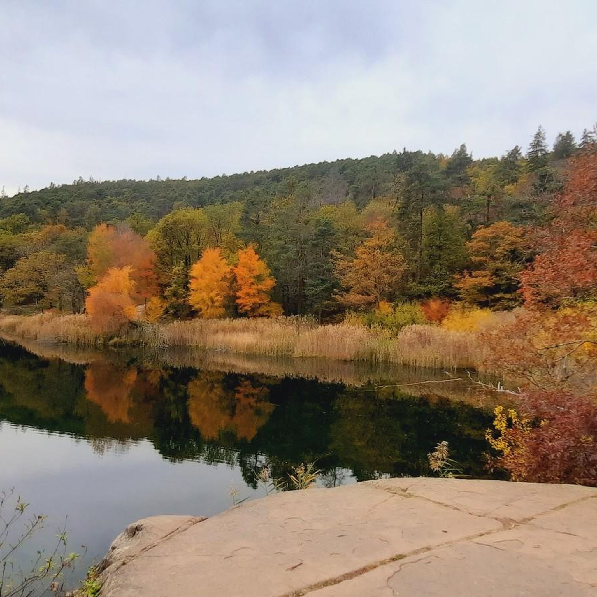
Mountaineering around Montiggler Wald - Bosco di Monticolo offers a diverse landscape for challenging mountain routes. The region is characterized by its lush mixed forests, including spruces and chestnuts, and the presence of the Monte di Mezzo mountain, which provides varying altitudes and terrain. Two picturesque ice-age lakes, the Big and Small Monticolo Lakes, are nestled within this natural reserve, adding to the scenic appeal. While not a high-alpine area, the broader region accessible from Montiggler Wald includes demanding routes and via ferratas, requiring good fitness and alpine experience.
Best mountaineering routes around Montiggler Wald - Bosco di Monticolo
- The most popular mountaineering route is Lavinaspitze Above Caldaro – Via Ferrata Monte Roen loop from St.Anton - Sant'Antonio frazione di Caldaro, a 17.2 miles (27.6 km) trail that takes 11 hours 32 minutes to complete. This difficult route features significant elevation gain and includes a via ferrata section.
- Another top favourite among local mountaineers is La Forcolana (1491 m) – View from Penegal loop from St.Anton - Sant'Antonio frazione di Caldaro, a difficult 12.4 miles (20.0 km) path. This route offers expansive views from Penegal and traverses varied mountain terrain.
- Local mountaineers also love the Lavinaspitze Above Caldaro loop from St.Anton - Sant'Antonio frazione di Caldaro, a 9.6 miles (15.4 km) trail leading through challenging mountain terrain, often completed in about 7 hours 6 minutes.
- Mountaineering around Montiggler Wald - Bosco di Monticolo is defined by its mixed forests, the Monte di Mezzo mountain, and access to challenging mountain routes and via ferratas in the wider South Tyrol region. The network offers options for both moderately challenging and difficult mountaineering experiences.
- The routes in Montiggler Wald - Bosco di Monticolo are highly rated by the komoot community with an average score of 4.7 stars from over 70 reviews. More than 600 mountaineers have used komoot to explore Montiggler Wald - Bosco di Monticolo's varied terrain.
Last updated: July 4, 2026
5.0
(3)
19
hikers
15.7km
07:12
1,140m
1,150m
Hard mountaineering route. Very good fitness required. Sure-footedness, sturdy shoes and alpine experience required.
8
hikers
Moderate mountaineering route. Good fitness required. Mostly accessible paths. Sure-footedness required.

Sign up for free
5.0
(1)
6
hikers
19.6km
08:35
1,250m
1,250m
Hard mountaineering route. Very good fitness required. Sure-footedness, sturdy shoes and alpine experience required.
6
hikers
Hard mountaineering route. Very good fitness required. Sure-footedness, sturdy shoes and alpine experience required.
3
hikers
Moderate mountaineering route. Good fitness required. Mostly accessible paths. Sure-footedness required.
Get access to more routes and recommendations from other explorers.
Sign up for free
Already have an account?
Our route recommendations are based on thousands of hikes, rides, and runs completed by other people on komoot.
Start today with a free account
Your next adventure awaits.
Login or Signup
Popular around Montiggler Wald - Bosco di Monticolo
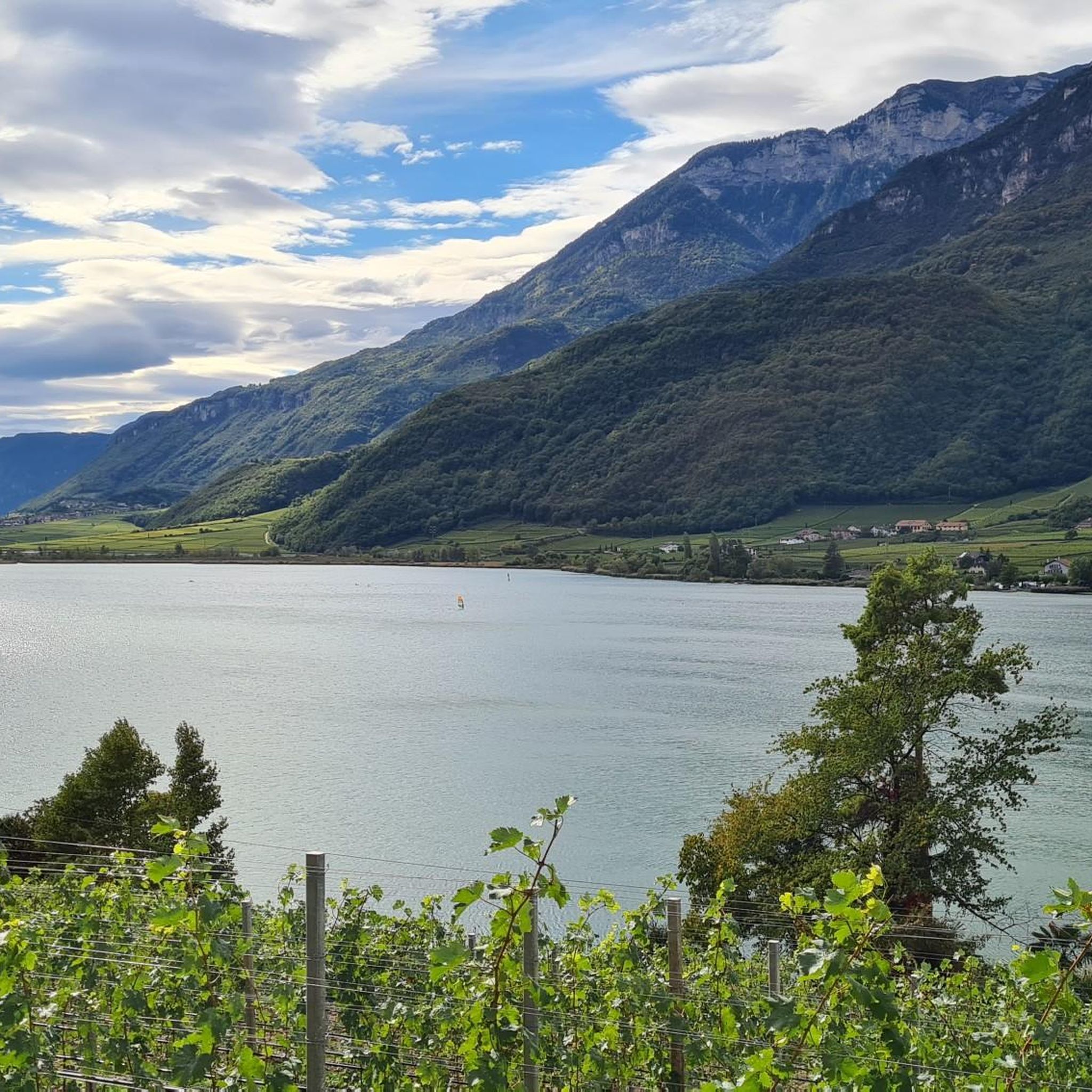
Road Cycling Routes around Montiggler Wald - Bosco di Monticolo
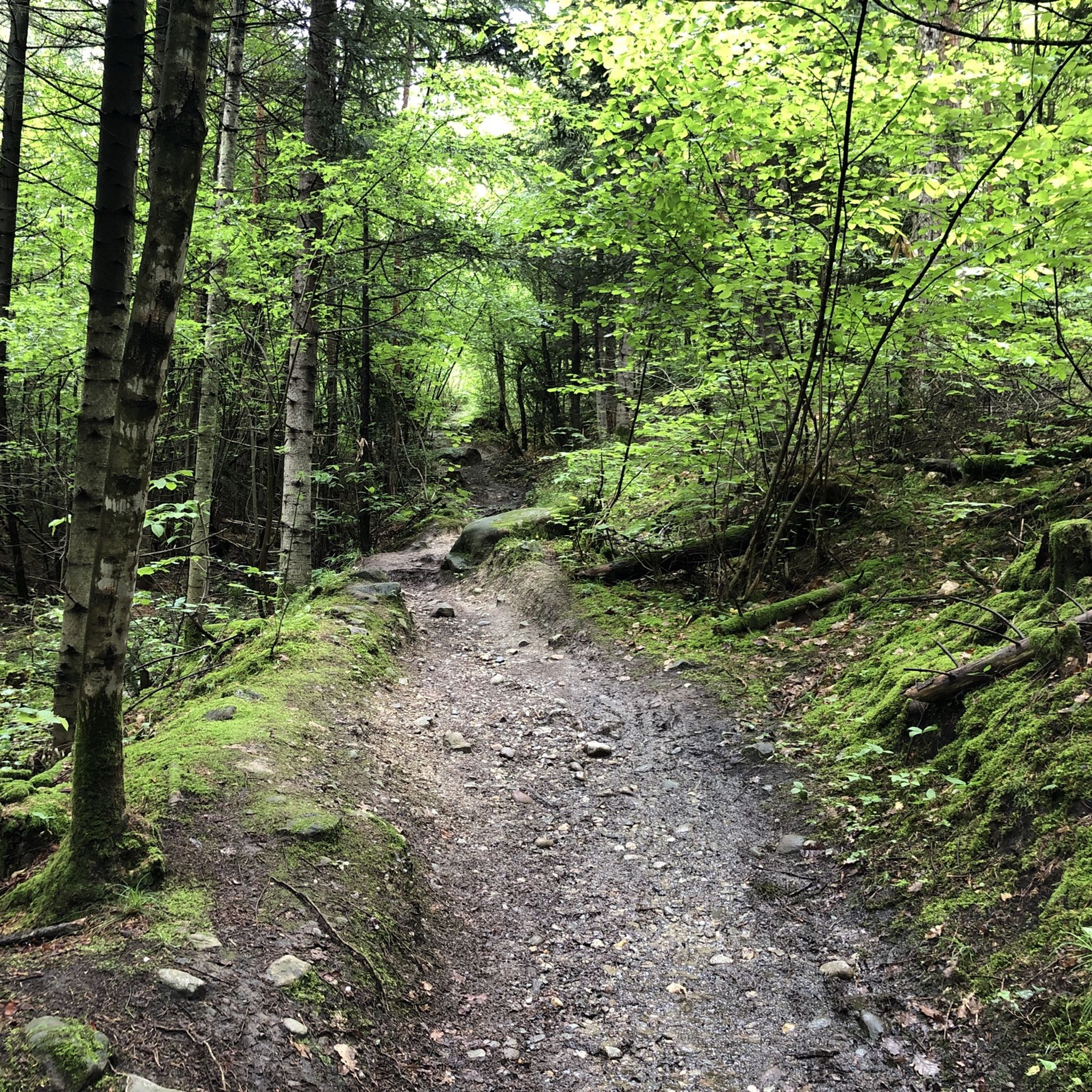
Hiking around Montiggler Wald - Bosco di Monticolo
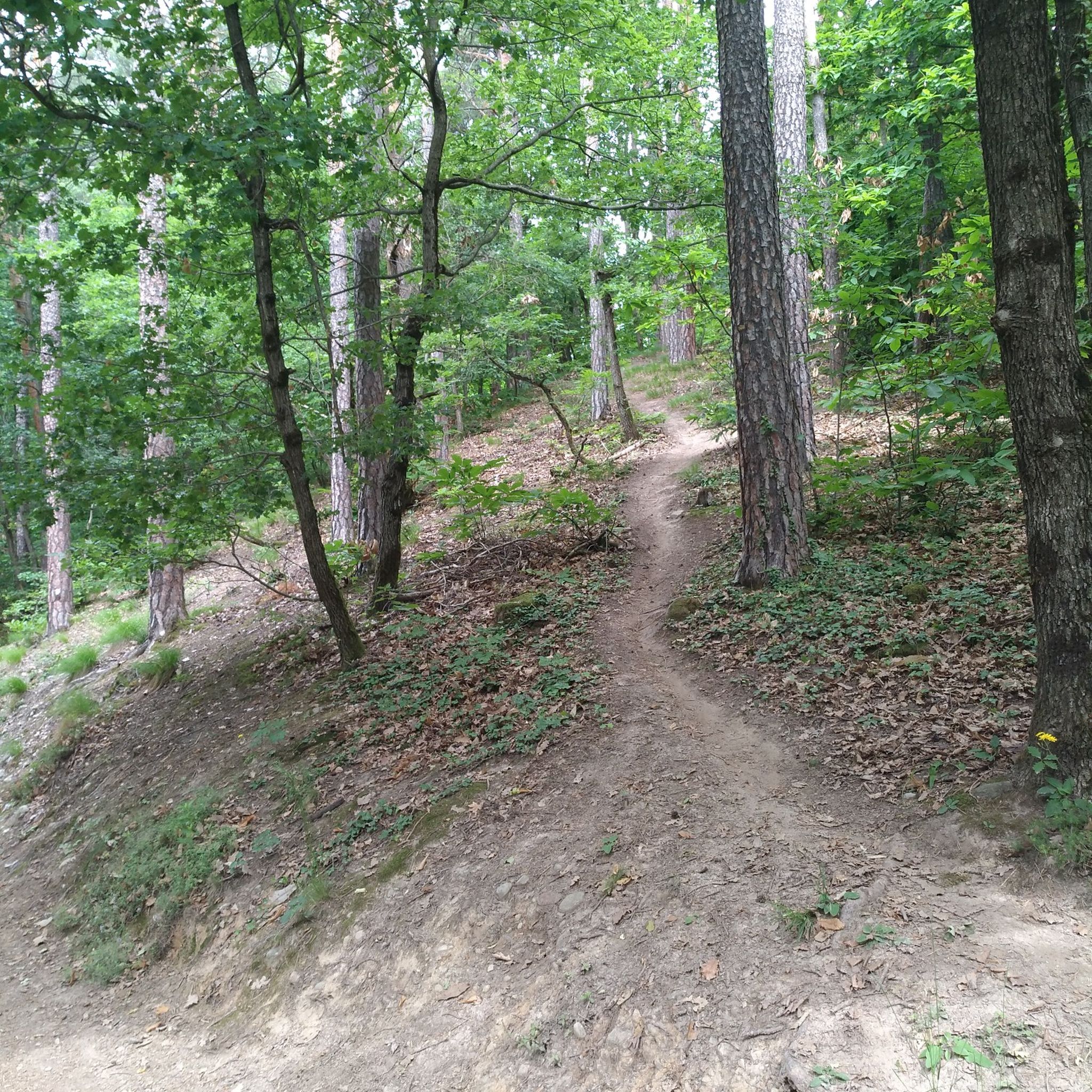
MTB Trails around Montiggler Wald - Bosco di Monticolo
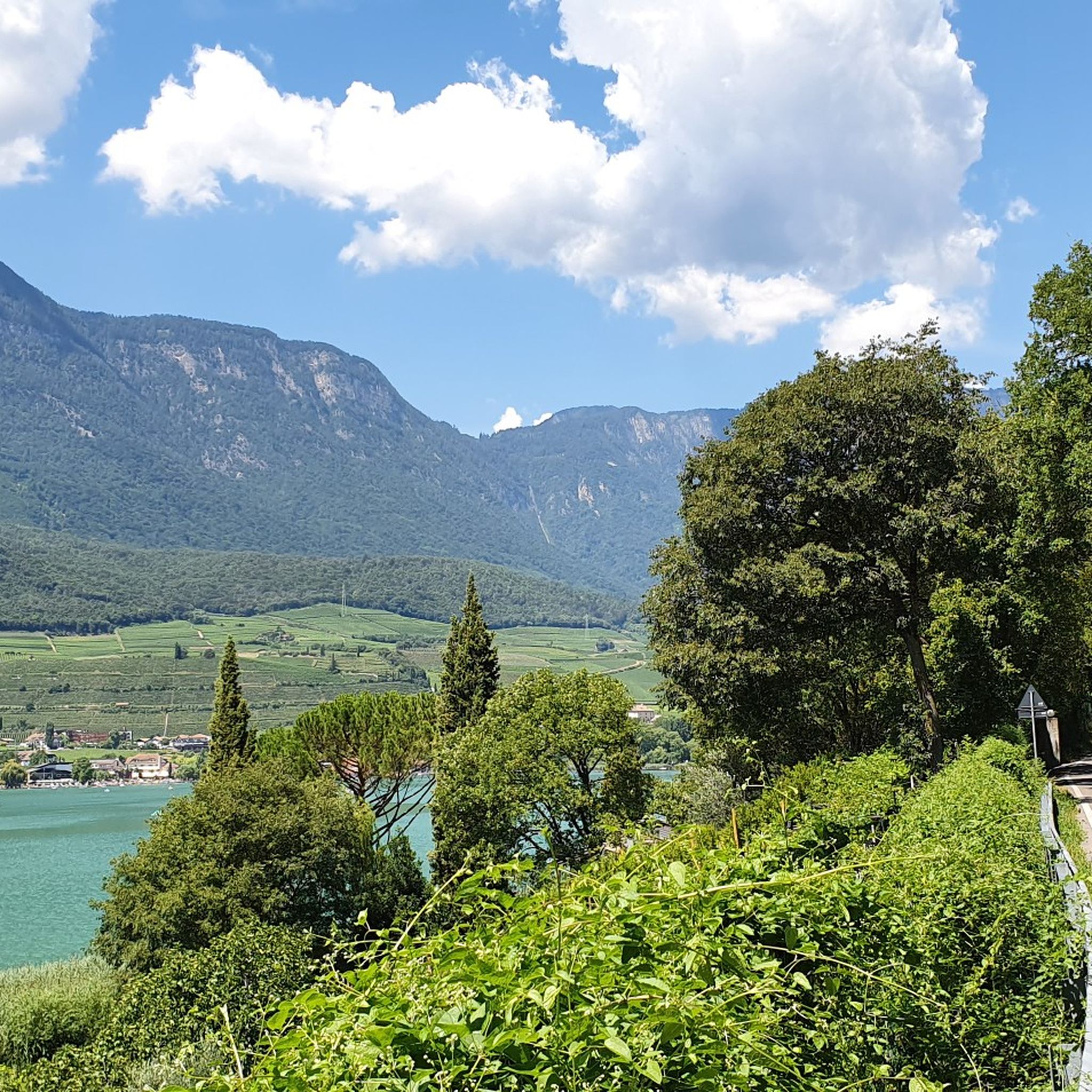
Cycling around Montiggler Wald - Bosco di Monticolo

Gravel biking around Montiggler Wald - Bosco di Monticolo
Running Trails around Montiggler Wald - Bosco di Monticolo
Tips from the Community


The Mendelbahn also transports bicycles
1
0

The photos don't promise too much. Great here.
2
0

An up and down of metal stairways and walkways
1
0

spectacular views of the lake..
2
1

Runs every 20 minutes. 10€ for the round trip.
0
0


The highlight no longer exists. The path has slipped and has been completely relocated to the other side of the stream in safer terrain.
0
0
Frequently Asked Questions
How many mountaineering routes are available in Montiggler Wald - Bosco di Monticolo?
There are over 30 mountaineering routes in Montiggler Wald - Bosco di Monticolo, offering a range of experiences. You'll find 15 moderate routes and 19 difficult routes, catering to various fitness levels and preferences.
What is the best time of year for mountaineering in Montiggler Wald - Bosco di Monticolo?
The Montiggler Wald is particularly vibrant in autumn, with the mixed forest displaying an array of colors, making it an ideal time for scenic mountaineering. Warmer months are also popular, especially if you plan to combine your hike with a swim in the Monticolo Lakes.
Are there any circular mountaineering routes in the Montiggler Wald area?
Yes, many of the mountaineering routes in Montiggler Wald are circular. For example, the challenging Lavinaspitze Above Caldaro – Via Ferrata Monte Roen loop and the moderate Leiferer Höhenweg loop are both excellent circular options.
What kind of terrain can I expect on mountaineering routes in Montiggler Wald?
The terrain in Montiggler Wald is varied, ranging from dense mixed forests to rocky and steep ascents, especially on routes leading up Monte di Mezzo. Some paths, like those around Leuchtenburg Castle, involve rocky sections, while others offer 'flowy single trails' and significant elevation changes, requiring good fitness and sure-footedness.
Are there any family-friendly mountaineering routes in Montiggler Wald - Bosco di Monticolo?
While many routes are moderate to difficult, the region offers trails that can be adapted for families. For instance, the general area around the Monticolo Lakes has easier paths. For a more challenging family outing, consider shorter moderate routes like the Telefonsteig loop, which is 7.7 km long and takes around 4 hours 21 minutes, but assess your family's fitness and experience carefully.
Can I bring my dog on the mountaineering trails in Montiggler Wald?
Montiggler Wald is generally dog-friendly, with many trails suitable for well-behaved dogs on a leash. Always ensure your dog is accustomed to longer distances and varied terrain, and carry enough water for both of you. Check local regulations for specific areas, especially around the lake lidos.
What are some notable landmarks or points of interest I can see along the mountaineering routes?
As you explore the Montiggler Wald, you can encounter several interesting points. The Montiggler Lakes themselves are a highlight, and from points like the Wilder Mann Bühel, you can get panoramic views of the Adige Valley and even the Dolomites. Other nearby attractions include the Kreiter Saddle Road and the View of Castel Firmiano.
Are there any routes that offer expansive views?
Yes, several routes provide stunning panoramic views. The La Forcolana (1491 m) – View from Penegal loop is particularly known for its expansive vistas from Penegal, allowing you to take in the surrounding landscapes.
What do other mountaineers enjoy most about the routes in Montiggler Wald - Bosco di Monticolo?
The mountaineering routes in Montiggler Wald - Bosco di Monticolo are highly rated by the komoot community, with an average score of 4.7 stars. Mountaineers often praise the diverse landscape, the challenging terrain, and the rewarding views, especially from routes that include sections like the Monte Roen via ferrata or the Penegal viewpoint.
Is there public transport access to the Montiggler Wald for hiking?
While specific public transport details for trailheads vary, the Montiggler Wald area is generally accessible. You can often find bus connections to nearby towns like Appiano (Eppan) or Caldaro (Kaltern), from which you can start your routes or connect to local trails. It's advisable to check local bus schedules for the most current information.
Where can I find parking for mountaineering trails in Bosco di Monticolo?
Parking is available at various entry points to the Montiggler Wald, particularly near the Monticolo Lakes. Designated parking areas are usually signposted. Depending on your chosen route, you might find parking in nearby villages like St. Anton or Appiano, which serve as starting points for many trails.
Most popular routes around Montiggler Wald - Bosco di Monticolo
Most popular attractions around Montiggler Wald - Bosco di Monticolo

Get inspired with the komoot mobile app


Explore more
Browse the best Mountain Hikes & Routes in other regions.
