The best road cycling routes around Forêt de Villers
4.3
(48)
1,048
riders
102
rides
Road cycling routes around Forêt de Villers traverse an expansive forest landscape located northeast of Paris, characterized by its extensive network of forest roads and diverse natural features. The region features wide, well-maintained tracks suitable for road cycling, winding through areas dominated by majestic beeches and oaks. This environment offers varied terrain, from gentle gradients to more undulating sections, providing a range of experiences for cyclists. Historical monuments and natural treasures are integrated throughout the forest, adding points of interest…
Last updated: September 30, 2026
11
riders
66.5km
03:13
680m
680m
Moderate road ride. Good fitness required. Mostly well-paved surfaces and easy to ride.
4
riders
32.7km
01:34
280m
280m
Easy road ride. Great for any fitness level. Mostly well-paved surfaces and easy to ride.

2
riders
38.1km
01:44
420m
420m
Moderate road ride. Good fitness required. Mostly well-paved surfaces and easy to ride.
4
riders
31.3km
01:24
340m
340m
Moderate road ride. Good fitness required. Mostly well-paved surfaces and easy to ride.
18
riders
46.9km
02:05
490m
490m
Moderate road ride. Good fitness required. Mostly well-paved surfaces and easy to ride.
Get access to more routes and recommendations from other explorers.
Already have an account?
Our route recommendations are based on thousands of hikes, rides, and runs completed by other people on komoot.
Start today with a free account
Your next adventure awaits.
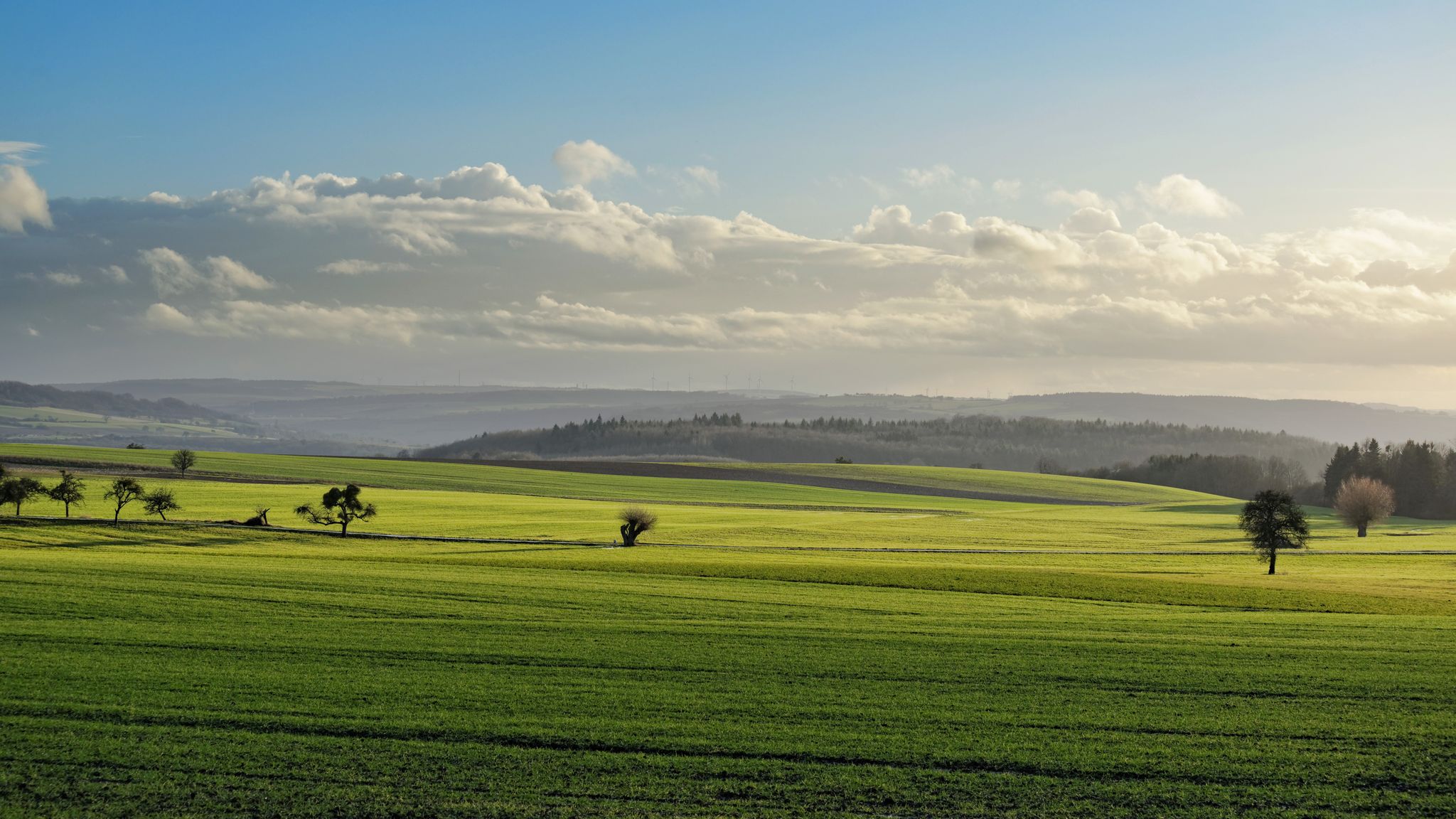
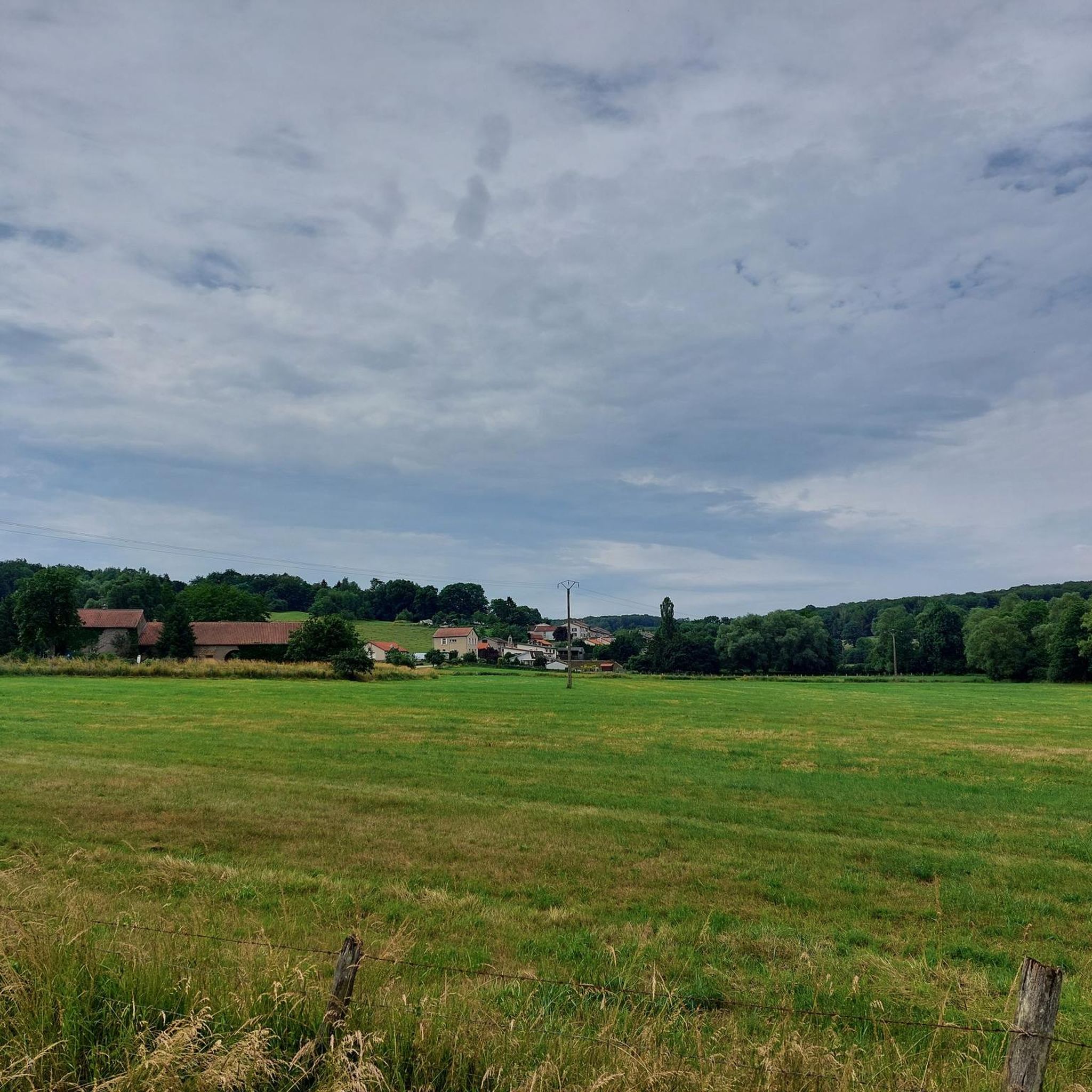
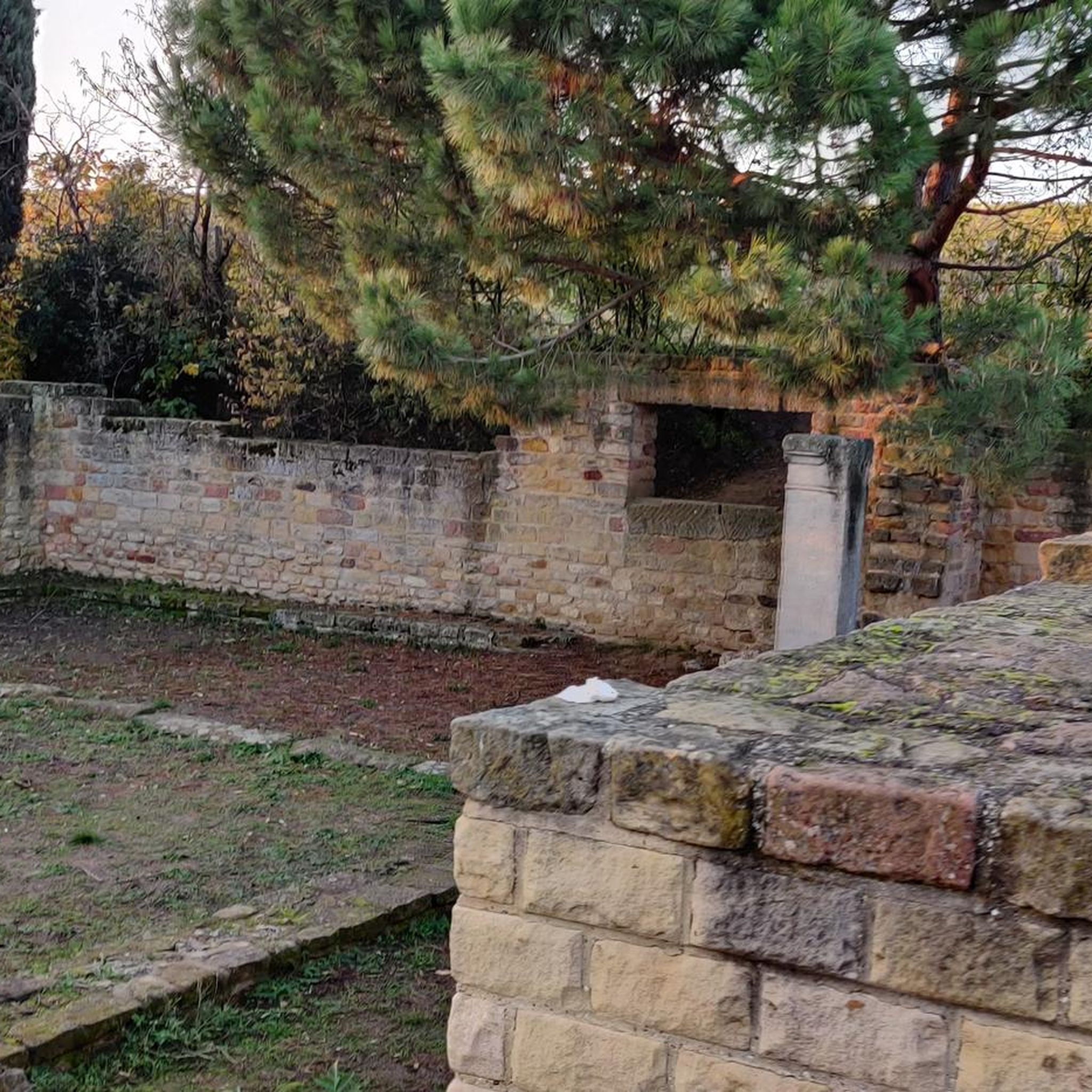
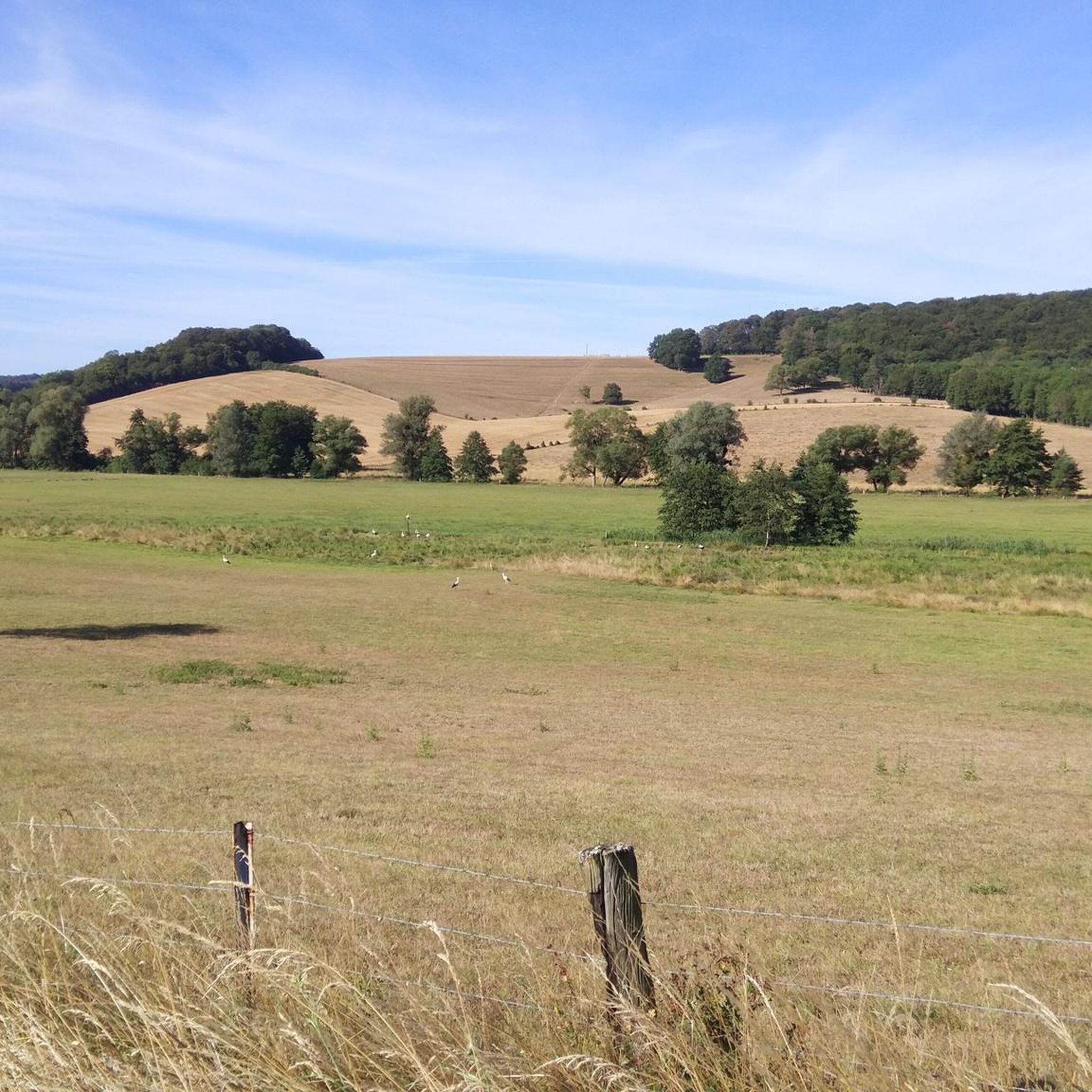
Other adventures around Forêt de Villers

Tips from the Community

⛪ **Church of Kédange-sur-Canner – A Simple Jewel in the Moselle Valley** The **Église Saint-Martin** in **Kédange-sur-Canner** is a tranquil example of rural church architecture in Lorraine. Its origins date back to the **18th century**, and it has been restored several times over the years. The church is located slightly elevated in the village center and, with its steeple, offers a striking landmark. 🕊️ Its interior is simple, exuding a tranquil atmosphere – with harmonious proportions, light plaster, and a chancel illuminated by discreet glass panels. **Tip:** Those on quiet tours will find a quiet place to rest here with a view of village life – ideal for a moment of reflection or an architectural photo.
1
0
🛡️ **Ouvrage du Hackenberg** – The Largest Fortification of the Maginot Line** The **Ouvrage du Hackenberg** near **Veckring** is the most impressive and largest fortification of the **Maginot Line** – a real must-see for history buffs. Built between 1929 and 1935, it includes: 🔩 **17 combat and entry blocks**, 🚇 over **10 km of underground tunnels**, 🚂 an **internal electric railway**, ⚙️ barracks, ammunition depots, a hospital, and a power supply. During World War II, the fort was combat-ready, but was evacuated without a fight after the armistice in 1940. The French Army later reused the facility during the Cold War. 🎟️ Today, Hackenberg has been beautifully restored and can be visited on guided tours – including a ride on the original narrow-gauge railway. Tip: Be sure to take a guided tour – it lasts about two hours. The underground coolness is pleasant even in summer! It's ideal for a half-day excursion with a historical twist.
0
0

Ideal for cooling off on hot days 🥵
0
0
The church is located above the town, somewhat out of the way. It is usually closed and only opens for mass on Saturdays. But with a bit of luck you will come across people cleaning or maintaining the building. Then you can catch a glimpse of the interior.
0
0
Ideal for cooling off on hot days 🥵. But be careful, it is not drinking water‼️
0
0
Ideal for cooling off on hot days 🥵. But be careful, not drinking water ‼️
0
0
This cemetery, with its partly elaborate gravestones, is located directly on the main road in front of the church of Kedange.
0
0
This beautiful rest area is located on the former railway line, at the old train station in Pange.
0
0
Frequently Asked Questions
How many road cycling routes are available in Forêt de Villers?
Forêt de Villers offers nearly 100 road cycling routes, catering to various skill levels. You'll find 26 easy routes, 68 moderate routes, and 5 more challenging options to explore.
What is the best time of year for road cycling in Forêt de Villers?
The forest is enjoyable for road cycling throughout much of the year. Spring and autumn offer pleasant temperatures and beautiful scenery with changing foliage. Summer is also suitable, though it can be warmer. Winter cycling is possible, but conditions may vary, so it's always best to check local weather before heading out.
What kind of terrain can I expect on the road cycling routes?
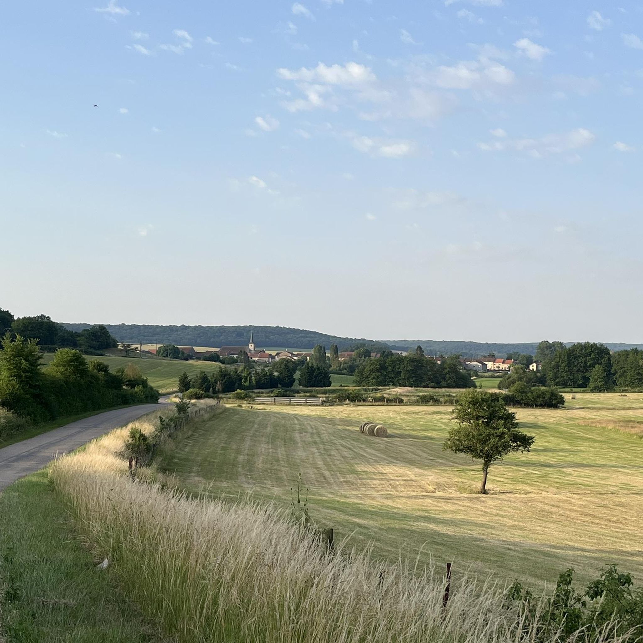
The road cycling routes in Forêt de Villers are characterized by expansive forest roads, often wide and well-maintained. You'll encounter varied terrain, from gentle gradients to more undulating sections, winding through areas dominated by majestic beeches and oaks. The region's extensive network of 60 kilometers of forest roads provides a diverse cycling experience.
Are there any family-friendly road cycling routes in Forêt de Villers?
Yes, Forêt de Villers offers several easy road cycling routes suitable for families. For example, the Château de Buy – Vigy loop from Vigy is an easy 25.2 km route, and the Étang de Blanchard – Forêt de Villers loop from Vigy is another easy 33.8 km option, both offering a pleasant ride through the forest.
What historical landmarks or natural attractions can I see along the routes?
Forêt de Villers is rich in both natural beauty and historical significance. Along your rides, you might discover ancient fountains, historical markers, and significant rocks like the Neolithic Clouise Stone. Notable attractions include the Charlemagne Spring and the Saint-Hubert Canyon. The forest is also home to the Château de Villers-Cotterêts, a Renaissance castle now housing the Cité internationale de la langue française, which is connected to the forest by the historic Royal Alley.
Are there circular road cycling routes available?
Yes, many of the road cycling routes in Forêt de Villers are designed as loops, allowing you to start and end at the same point. Examples include the Saint-Hubert Canyon – Vigy loop from Vigy and the Decorative Fountain – Friedhof vor der Kirche loop from Vigy, offering convenient circular journeys.
Where can I park my car when road cycling in Forêt de Villers?
While specific parking areas for cyclists are not detailed, the extensive network of forest roads and trails suggests various access points. It is advisable to look for designated parking areas near the main entrances to the forest or in nearby towns like Villers-Cotterêts, which often provide facilities for visitors.
Can I access road cycling routes in Forêt de Villers by public transport?
Forêt de Villers is located approximately 80 km northeast of Paris. While direct public transport options specifically for cyclists with bikes might be limited, you can typically reach nearby towns like Villers-Cotterêts by train. From there, you may need to cycle a short distance to reach the forest's main cycling routes. It's recommended to check local public transport schedules and bike policies before your trip.
What do other road cyclists enjoy most about road cycling in Forêt de Villers?
The area is highly rated by the komoot community, with an average score of 4.0 stars from over 17 reviews. Cyclists often praise the expansive forest roads, the serene environment created by majestic beeches and oaks, and the opportunity to discover historical monuments and natural treasures along the way. Over 800 road cyclists have used komoot to explore the varied terrain of Forêt de Villers.
Are there any cafes or restaurants near the road cycling routes?
Forêt de Villers is a large natural area. While there might not be cafes directly on the forest roads, you will find various dining options and accommodations in the surrounding towns and villages, such as Villers-Cotterêts. These towns offer places to refuel and relax before or after your ride.
Do I need a permit to road cycle in Forêt de Villers?
For general road cycling on the designated forest roads and trails within Forêt de Villers, a specific permit is typically not required. The forest is open for public enjoyment of outdoor activities. However, it's always good practice to respect local regulations and signage.
What is the longest road cycling route in Forêt de Villers?
Among the routes listed, the View of the Moselle – Château de Buy loop from Vigy is one of the longest, covering 55.8 km. This route leads through expansive forest roads and offers a substantial ride for those looking for a longer adventure.
Most popular routes around Forêt de Villers
Most popular attractions around Forêt de Villers

Get inspired with the komoot mobile app


Explore more
Browse the best Road cycling routes in other regions.
