The best road cycling routes around Forêt Régionale de Saint-Vrain
4.5
(173)
3,565
riders
325
rides
Road cycling routes around Forêt Régionale de Saint-Vrain traverse an agricultural plateau approximately 40 kilometers south of Paris. The region is characterized by its diverse forest ecosystem, featuring sessile and pedunculate oaks, along with valuable hardwoods. Cycling terrain primarily consists of long, paved alleys and paths that connect the forest's two main sections, "le Bois de Cramart" and "le Bois de Derrière la Boucherie." The agricultural surroundings contribute to generally gentle gradients, making the area suitable for road bikes.
Best…
Last updated: July 5, 2026
3
riders
21.5km
00:53
80m
80m
Easy road ride. Great for any fitness level. Mostly well-paved surfaces and easy to ride.
4.5
(6)
59
riders
Moderate road ride. Good fitness required. Mostly well-paved surfaces and easy to ride.

Sign up for free
23
riders
53.1km
02:13
350m
350m
Moderate road ride. Good fitness required. Mostly well-paved surfaces and easy to ride.
14
riders
Easy road ride. Great for any fitness level. Mostly well-paved surfaces and easy to ride.
13
riders
47.4km
02:05
340m
340m
Moderate road ride. Good fitness required. Mostly well-paved surfaces and easy to ride.
Get access to more routes and recommendations from other explorers.
Sign up for free
Already have an account?
Our route recommendations are based on thousands of hikes, rides, and runs completed by other people on komoot.
Start today with a free account
Your next adventure awaits.
Login or Signup
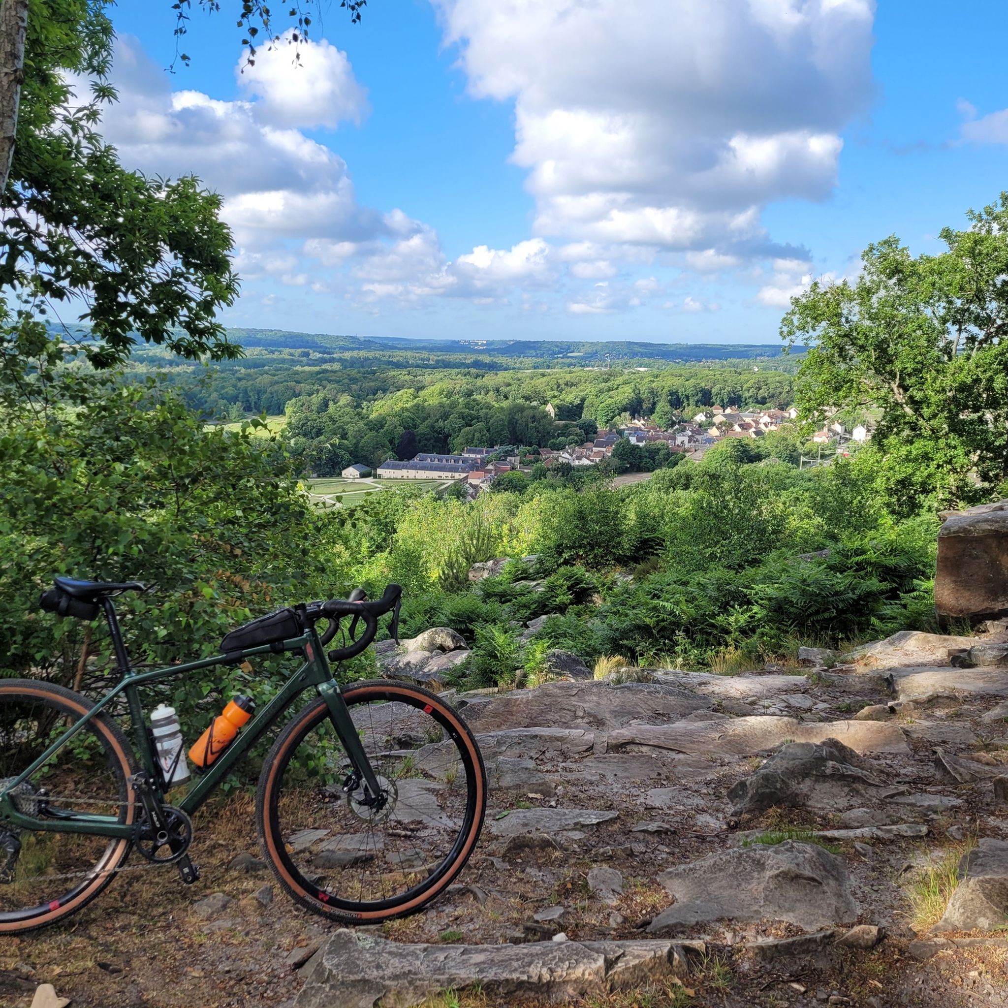
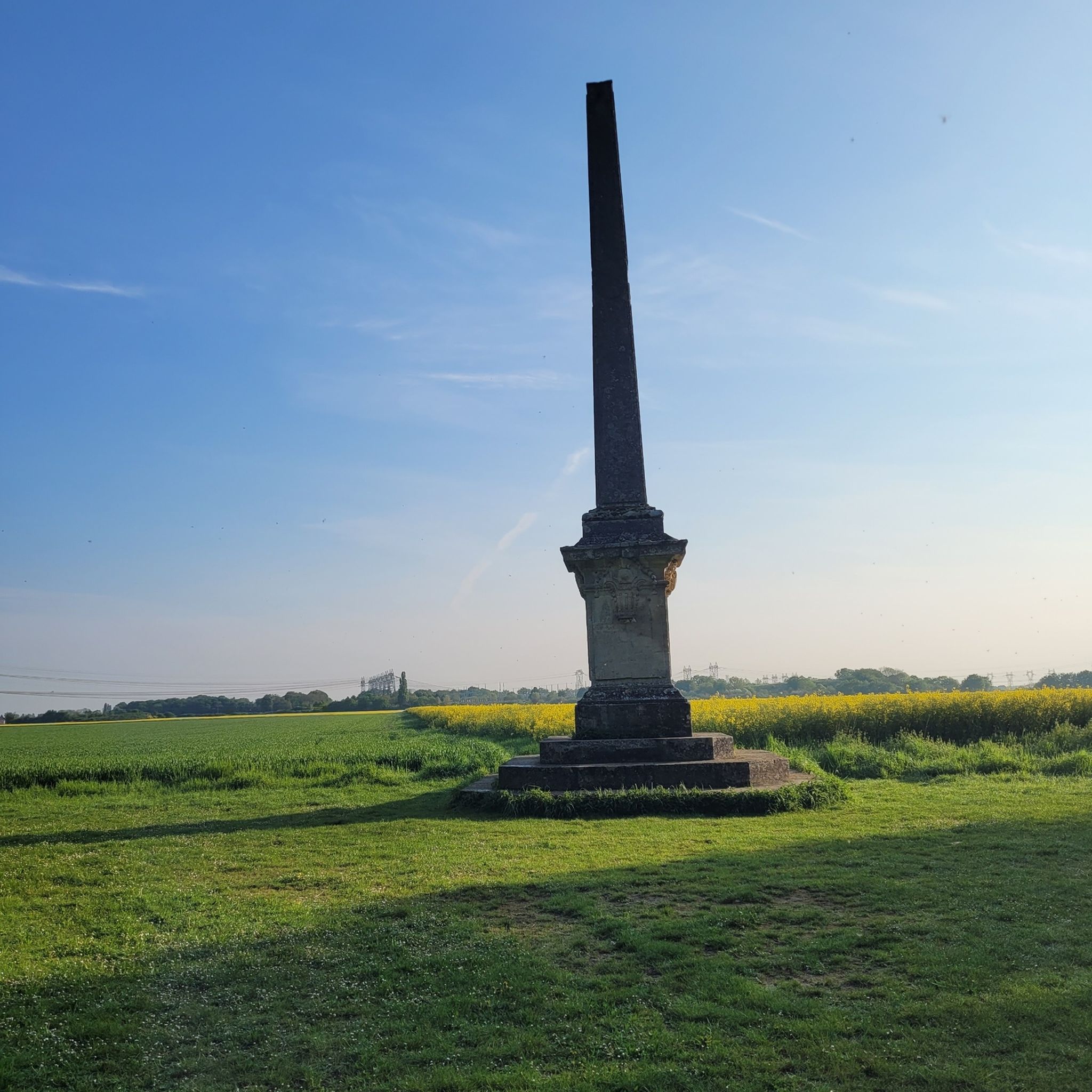
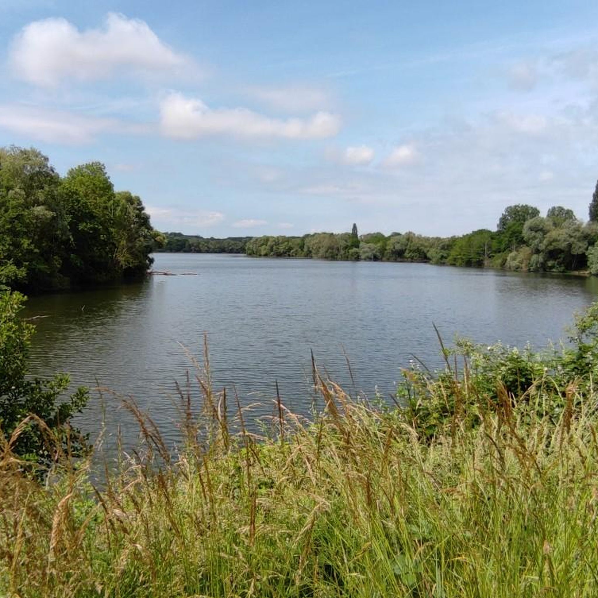
Tips from the Community


The mill is said to be over two thousand years old. Joan of Arc stayed there and Louis XI is said to have donated it to his advisor Olivier le Daim.
0
0

Former market square in the heart of Milly-la-Forêt.
1
0

Not often open, but have a look at the splendid 12th century tympanum above the West Door
0
0

A classic: bicycles are tolerated there so let's not do just anything!
0
0
Beautiful little church! The road leading there is peaceful and pleasant.
0
0
Castle closed to the public, but it is bordered by a shared road limited to 30 km/h which is very pleasant.
0
0

In 1005 the Bishop of Sens transferred the patronage of this cure to the chapter of Notre-Dame de Paris. The current church was built later. On August 18, 1538, it was dedicated to Saint-Germain, Bishop of Paris.
0
0
Frequently Asked Questions
What kind of terrain can I expect when road cycling around Forêt Régionale de Saint-Vrain?
The region is situated on the agricultural plateau of Brie Française, meaning you'll find generally gentle gradients. Road cycling routes primarily consist of long, paved alleys within the forest and paths that connect its two main sections, "le Bois de Cramart" and "le Bois de Derrière la Boucherie." You'll experience a mix of dense woodland and open agricultural landscapes.
Are there many road cycling routes available in Forêt Régionale de Saint-Vrain?
Yes, komoot offers over 300 road cycling routes in and around Forêt Régionale de Saint-Vrain. This includes a wide variety of options, from easy loops to more challenging distances, ensuring there's something for every skill level.
What are the typical distances and difficulties of road cycling routes in this area?
Routes vary in length, with many moderate options ranging from 30 to 50 kilometers. For example, the Janville Bridge over the Juine River – Château du Mesnil-Voisin loop from Bouray is a moderate 56.4 km ride. There are also easier routes, such as the Château du Mesnil-Voisin – Janville Bridge over the Juine River loop from Bouray, which is 44.4 km and considered easy. Overall, you'll find 65 easy, 248 moderate, and 13 difficult routes.
What kind of natural features and landmarks can I see while cycling in the Forêt Régionale de Saint-Vrain?
The forest boasts a rich mix of sessile and pedunculate oaks, along with other valuable hardwoods. You'll also encounter numerous ditches and ponds that add to the visual interest. A notable historical landmark is a 12-meter-high obelisk, erected in 1750, which you might spot along the forest's alleys. Routes also often pass by local castles and churches, such as those seen on the La Bonde Castle – Milly-la-Forêt Church loop from Bouray.
Is Forêt Régionale de Saint-Vrain suitable for family-friendly road cycling?
Yes, the relatively flat nature of the agricultural plateau and the presence of easy-graded routes make it suitable for families. Many routes offer gentle gradients, and the long, paved alleys within the forest provide a pleasant environment for cyclists of varying abilities. There are 65 easy routes specifically designed for less experienced riders or those looking for a relaxed pace.
What do other road cyclists say about the routes in Forêt Régionale de Saint-Vrain?
The area is highly rated by the komoot community, with an average score of 4.6 stars from over 140 reviews. Cyclists often praise the varied terrain, which combines dense woodlands with open agricultural plains, and the well-maintained paved surfaces suitable for road bikes. Over 3,700 road cyclists have used komoot to explore this region.
Are there any specific routes that offer views of historical sites or castles?
Yes, several routes incorporate historical landmarks. For instance, the Château de Courances – Chamarande Estate loop from Bouray takes you past significant estates. Another option is the Domaine de Courances – Market Hall of Milly-la-Forêt loop from Bouray, which offers a blend of natural beauty and cultural sights.
What is the best time of year to go road cycling in Forêt Régionale de Saint-Vrain?
While specific conditions can vary, the region's diverse forest ecosystem and agricultural surroundings are enjoyable throughout the warmer months. Spring and autumn often provide pleasant temperatures and beautiful scenery, with changing foliage in the forest. Summer can also be great, especially when cycling through the shaded forest sections.
Are there many loop routes available for road cyclists?
Yes, the majority of road cycling routes around Forêt Régionale de Saint-Vrain are designed as loops, offering convenient starting and ending points. This allows you to explore the diverse landscapes without having to retrace your path. Many of the popular routes, such as the Janville Bridge over the Juine River – Château du Mesnil-Voisin loop from Bouray, are circular.
Is it possible to find cafes or places to stop for refreshments along the road cycling routes?
While the forest itself is primarily natural, the routes often pass through or near small towns and villages on the agricultural plateau. These areas are more likely to offer cafes, bakeries, or small shops where you can stop for refreshments. Planning your route with komoot allows you to identify potential stops along the way.
How accessible is Forêt Régionale de Saint-Vrain for road cyclists using public transport?
The Forêt Régionale de Saint-Vrain is located approximately 40 kilometers south of Paris. While direct public transport into the forest itself might be limited, surrounding towns and villages often have train or bus connections from Paris, which could serve as starting points for your cycling adventure. It's advisable to check local transport schedules for the most convenient access points.
Are there specific parking areas for cyclists near the forest?
Given its popularity for outdoor activities, there are typically designated parking areas at various entry points to the forest or in nearby villages. These spots provide convenient access to the network of cycling paths. It's recommended to check maps or local information for specific parking locations closest to your chosen route's starting point.
Most popular routes around Forêt Régionale de Saint-Vrain

Get inspired with the komoot mobile app


Explore more
Browse the best Road cycling routes in other regions.
