The best walks and hikes around Forêt du Cranou
4.2
(433)
2,263
hikers
29
hikes
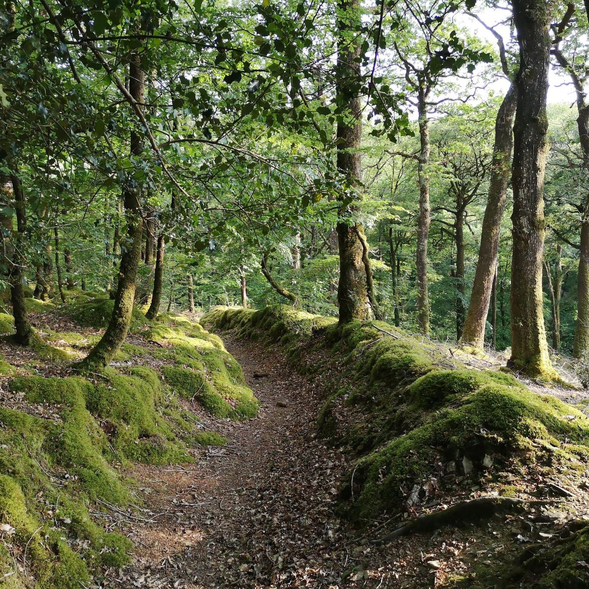
Hiking around Forêt du Cranou offers a network of trails through a dense forest landscape in Brittany, France. The region is characterized by its woodlands, gentle elevation changes, and a mix of easy to moderate paths. Hikers can expect to navigate through forested areas with some open sections, providing varied scenery. The terrain generally consists of well-maintained paths suitable for different activity levels.
Best hiking trails around Forêt du Cranou
- The most popular hiking route is Red bridge – Cranou Forest loop from Pont Rouge, a 4.0 miles (6.4 km) trail that takes 1 hour 45 minutes to complete. This easy route offers a pleasant walk through the forest.
- Another top favourite among local hikers is Red bridge – Cranou Forest loop from Le Cosquer, an easy 4.1 miles (6.5 km) path. This trail provides a similar experience to the popular loop, exploring the woodland environment.
- Local hikers also love the Viewpoint loop from Roz Losket, a 5.5 miles (8.9 km) trail leading through varied forest terrain, often completed in about 2 hours 32 minutes.
- Hiking around Forêt du Cranou is defined by dense woodlands, gentle hills, and scenic viewpoints. The network offers options for different ability levels, from easy family friendly walks to more challenging routes.
- The routes in Forêt du Cranou are highly rated by the komoot community with an average score of 4.4 stars from over 300 reviews. More than 1,400 hikers have used komoot to explore Forêt du Cranou's varied terrain.
Last updated: July 2, 2026
4.3
(19)
62
hikers
6.41km
01:45
100m
100m
Easy hike. Great for any fitness level. Easily-accessible paths. Suitable for all skill levels.
4.3
(6)
25
hikers
21.1km
05:53
400m
400m
Hard hike. Very good fitness required. Easily-accessible paths. Suitable for all skill levels.

Sign up for free
4.7
(3)
11
hikers
6.33km
01:44
100m
100m
Easy hike. Great for any fitness level. Easily-accessible paths. Suitable for all skill levels.
3.0
(3)
9
hikers
8.87km
02:32
220m
220m
Moderate hike. Good fitness required. Easily-accessible paths. Suitable for all skill levels.
7
hikers
6.06km
01:39
90m
90m
Easy hike. Great for any fitness level. Easily-accessible paths. Suitable for all skill levels.
Get access to more routes and recommendations from other explorers.
Sign up for free
Already have an account?
Our route recommendations are based on thousands of hikes, rides, and runs completed by other people on komoot.
Start today with a free account
Your next adventure awaits.
Login or Signup

Tips from the Community

The Calvary was erected here in 1627 and was probably "cut down" during the Revolution. Therefore, only this part remains visible today.
1
0
The fountain was built in the first half of the 17th century and is intended to commemorate the hermit Saint Coval, who is said to have lived here around 600.
0
0

The fountain decorated with a statue of Saint-Gonval and the Calvary are the only remains of a 15th century chapel destroyed during the Second World War. The Crannou forest was, under the reign of Louis XIV, exploited for wood intended for naval construction. A house and its outbuildings were assigned to the Intendant directing the operation and the chapel was then served.
1
0
The Cranou forest is home to an arboretum, set up in 2008, extends over 14 hectares and is intended to study global warming. It is freely accessible for walkers. It succeeds the sylvetum created in 1970 by the National Forestry Office and the National Institute of Agronomic Research and which brings together 51 different species of deciduous and coniferous trees, planted there experimentally, in order to study their behavior for the purposes of reforestation in the context of a very humid oceanic climate (average annual rainfall: 1,173 mm) almost constantly (it rains as much in winter as in summer). As part of the arboretum, new species of trees are being planted (such as sweetgums, Douglas fir, Chilean araucaria, arrayans, etc.) and 150 different species are planned for the near future. https://fr.wikipedia.org/wiki/For%C3%AAt_du_Cranou
1
0

A stream crosses the bridge and later becomes the river Faou. The place is shady and the children often come to play in the summer to cool down. It is possible to park there in front.
0
0
Frequently Asked Questions
How many hiking trails are there in Forêt du Cranou?
Forêt du Cranou offers a wide selection of hiking opportunities, with over 25 routes available. These range from easy strolls to more challenging treks, ensuring options for various fitness levels.
Are there easy or beginner-friendly hikes in Forêt du Cranou?
Yes, Forêt du Cranou is well-suited for beginners and those looking for easy walks. There are 16 easy routes, many of which are family-friendly. A great option is the Red bridge – Cranou Forest loop from Pont Rouge, an easy 4-mile (6.4 km) trail.
What kind of terrain can I expect on the hiking trails?
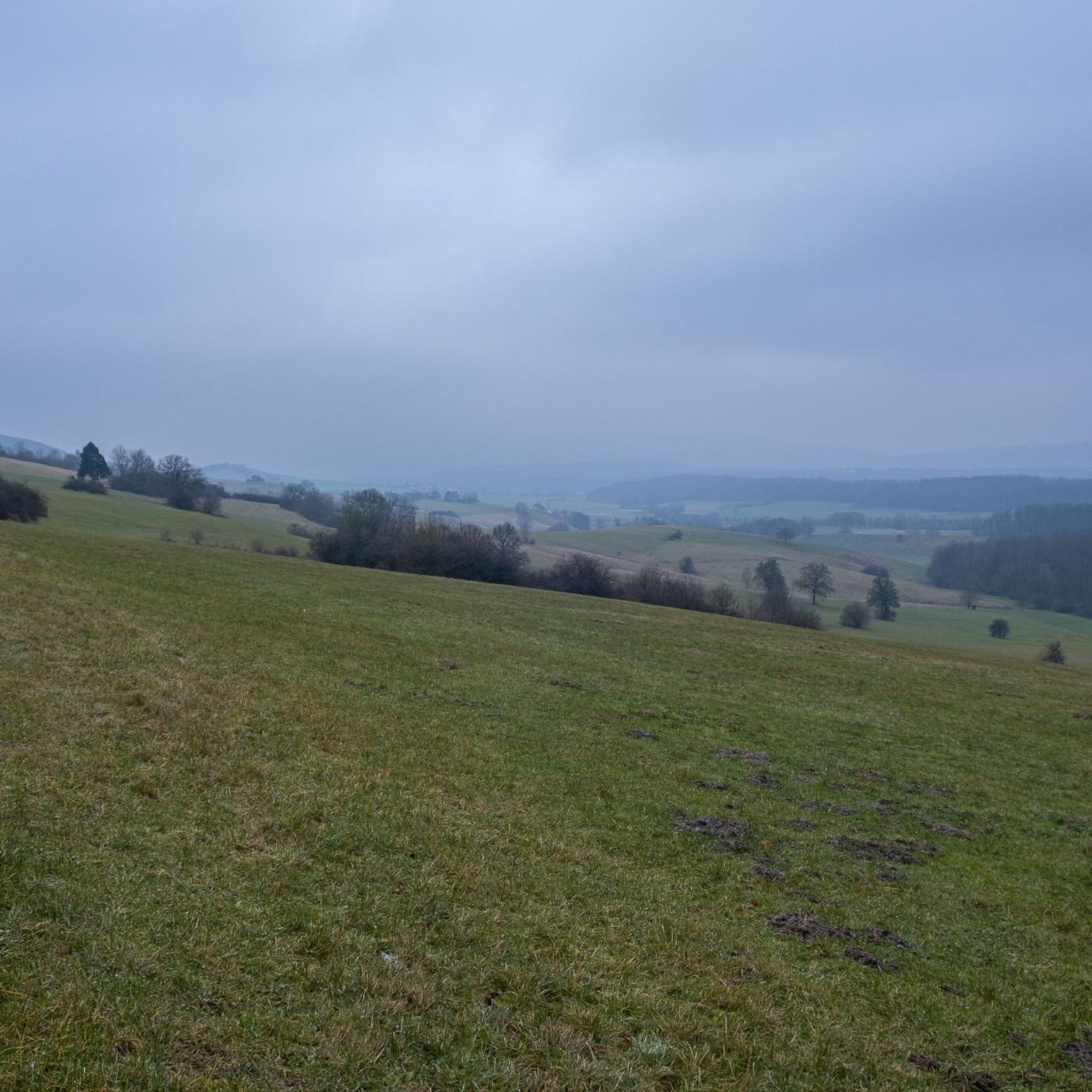
The terrain in Forêt du Cranou primarily consists of well-maintained paths through dense woodlands. You'll encounter gentle elevation changes and some open sections, providing varied scenery. The routes are generally suitable for different activity levels.
Are there any circular walks in Forêt du Cranou?
Yes, many of the trails in Forêt du Cranou are circular, allowing you to start and end at the same point. Examples include the popular Red bridge – Cranou Forest loop from Le Cosquer and the slightly longer Viewpoint loop from Roz Losket.
What can I see along the hiking trails in Forêt du Cranou?
The trails lead through beautiful forest landscapes. You can discover natural features like the Saint-Conval Fountain and the scenic Red bridge. Some routes, like the Viewpoint loop from Roz Losket, offer elevated perspectives of the surrounding area.
Are dogs allowed on the hiking trails in Forêt du Cranou?
Generally, dogs are welcome on trails in Forêt du Cranou. However, it's always recommended to keep them on a leash to protect local wildlife and ensure a pleasant experience for all hikers. Please respect any local signage regarding dog access.
What is the best season for hiking in Forêt du Cranou?
Forêt du Cranou is enjoyable year-round. Spring brings lush greenery and blooming flora, while autumn offers vibrant fall colors. Summer provides pleasant temperatures for forest walks, and even winter can be beautiful with a dusting of snow, though some paths might be muddy.
Are there any viewpoints or scenic spots in Forêt du Cranou?
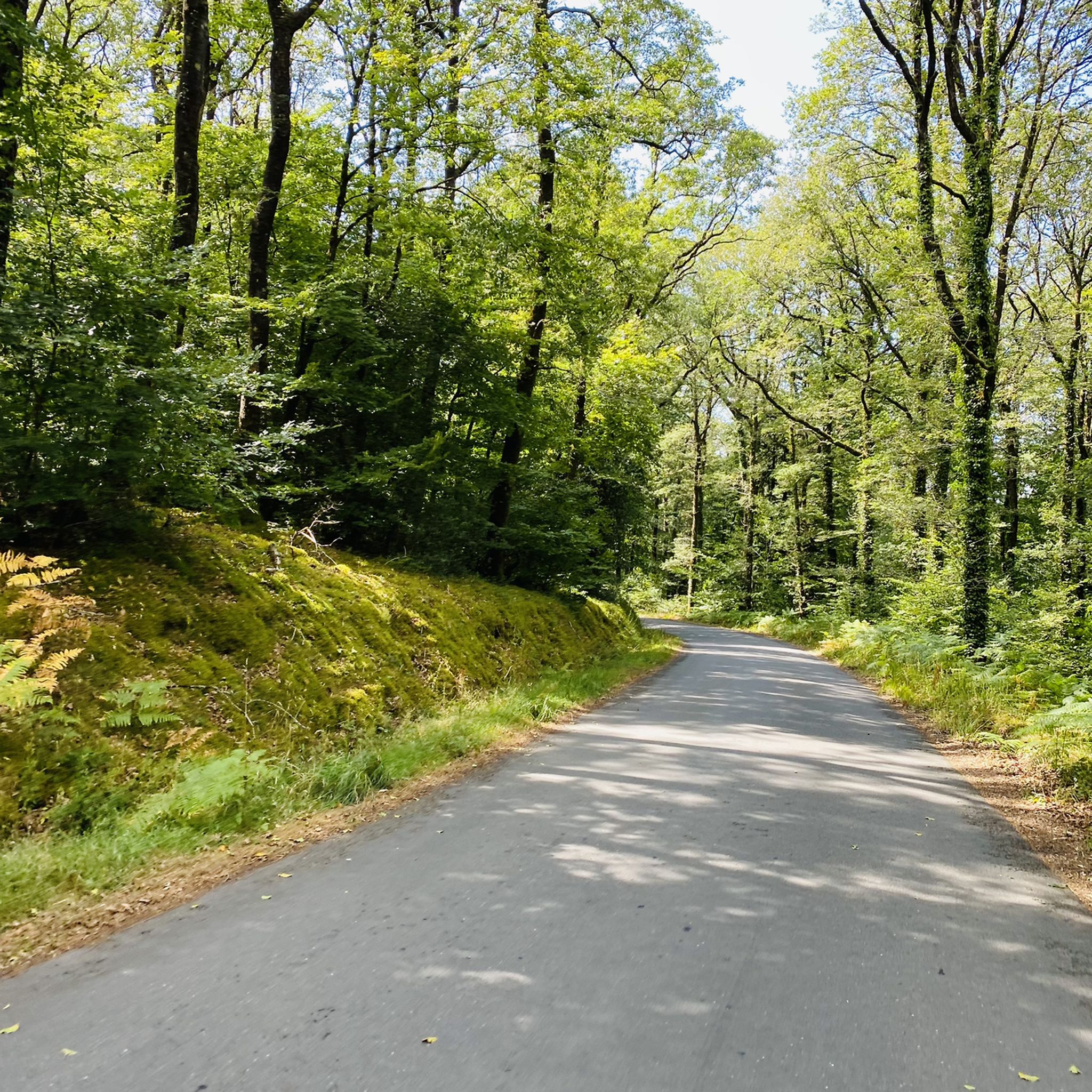
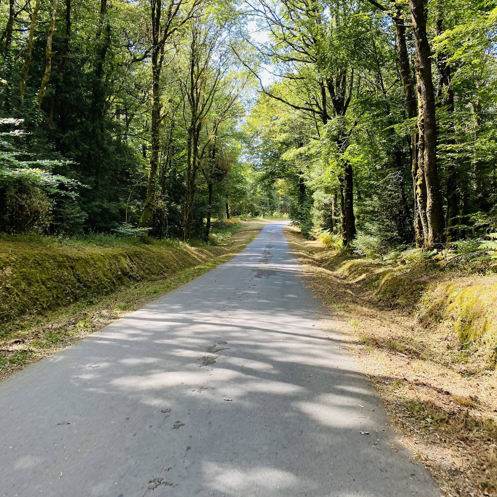
Yes, the forest offers several scenic spots. The Viewpoint loop from Roz Losket is specifically designed to take you to elevated points with good views. Additionally, the Winding Road in Forêt du Cranou offers picturesque forest scenery.
What do other hikers enjoy most about Forêt du Cranou?
The area is highly rated by the komoot community, with an average score of 4.4 stars from over 300 reviews. Hikers often praise the quiet woodlands, well-maintained paths, and the peaceful atmosphere, making it ideal for a relaxing escape into nature.
Are there any longer or more challenging routes available?
While many routes are easy to moderate, there is one difficult route for those seeking a greater challenge. The Cranou Forest – Viewpoint loop from Pont Rouge is a substantial 13.1-mile (21.1 km) trail, offering a longer and more demanding experience.
Where can I find parking for the hiking trails?
Parking is typically available at common trailheads and access points around Forêt du Cranou. Many routes, such as those starting from Pont Rouge or Le Cosquer, have designated areas where you can leave your vehicle. It's advisable to check specific route details for precise parking information.
What should I bring for a hike in Forêt du Cranou?
For a comfortable hike, bring appropriate footwear, water, and snacks. Depending on the weather, a waterproof jacket and layers are recommended. A map or a navigation app like komoot is also useful, especially for longer routes, as mobile reception can be spotty in dense forest areas.
Most popular routes around Forêt du Cranou
Most popular attractions around Forêt du Cranou

Get inspired with the komoot mobile app


Explore more
Browse the best Hikes in other regions.
