The best running trails around Tourvéon
4.1
(27)
1,309
runners
84
runs
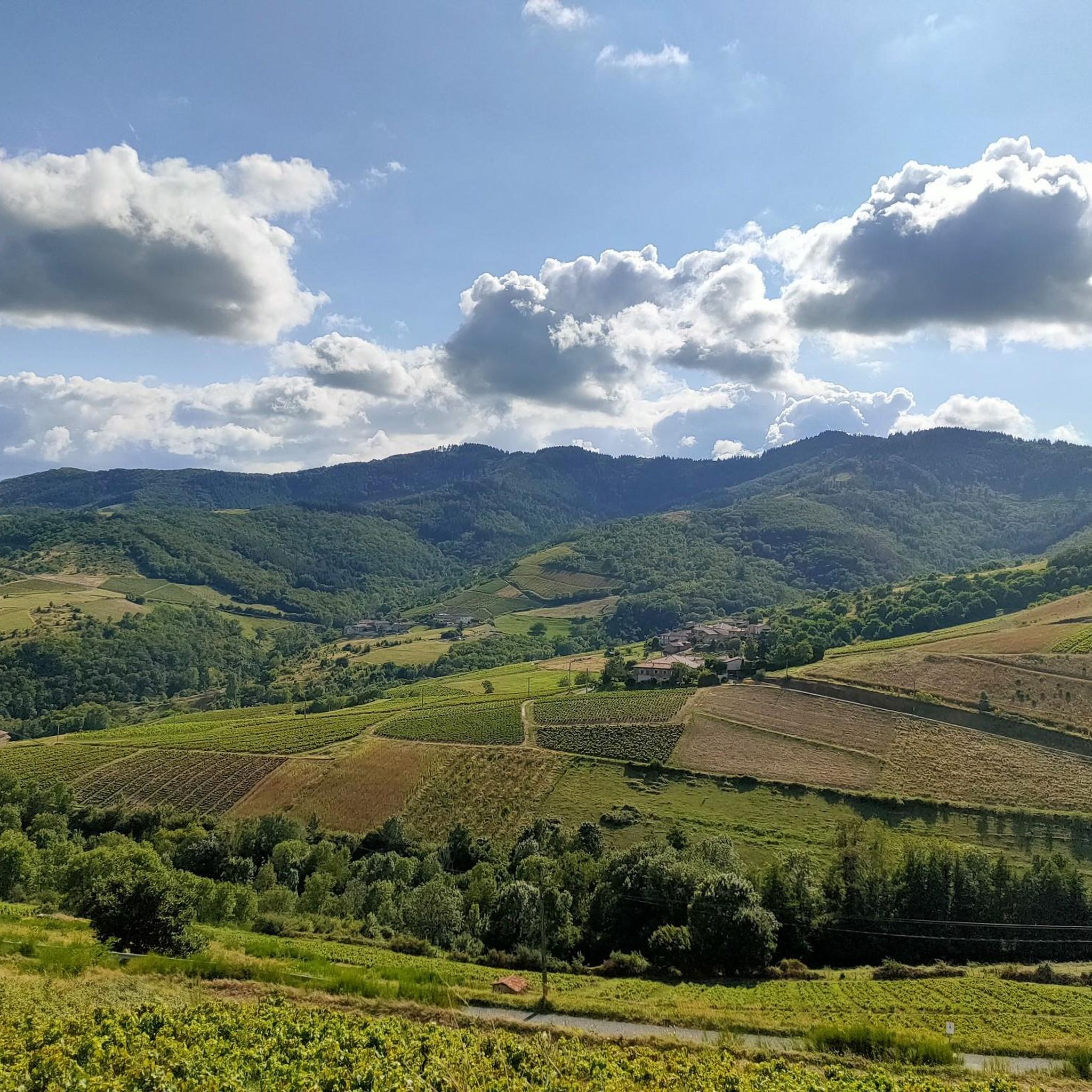
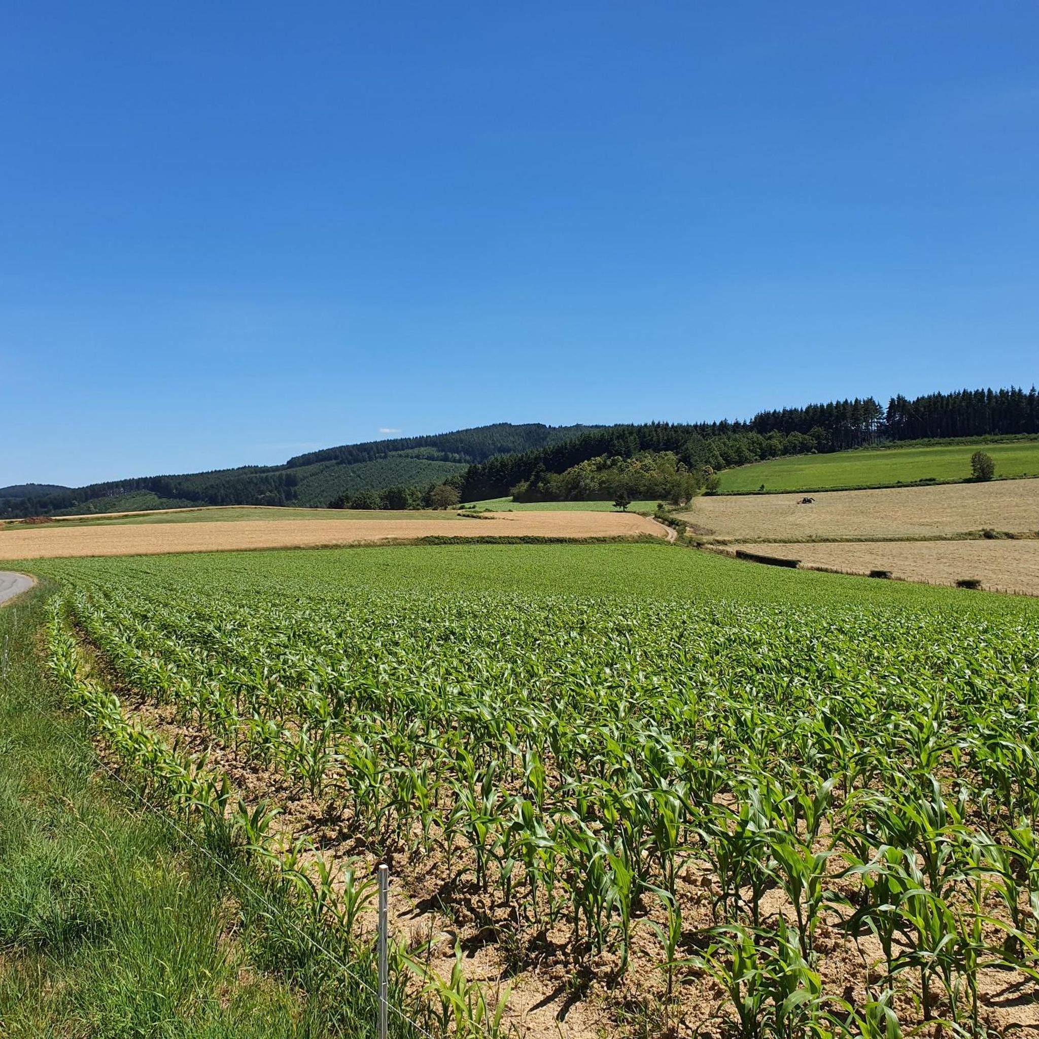
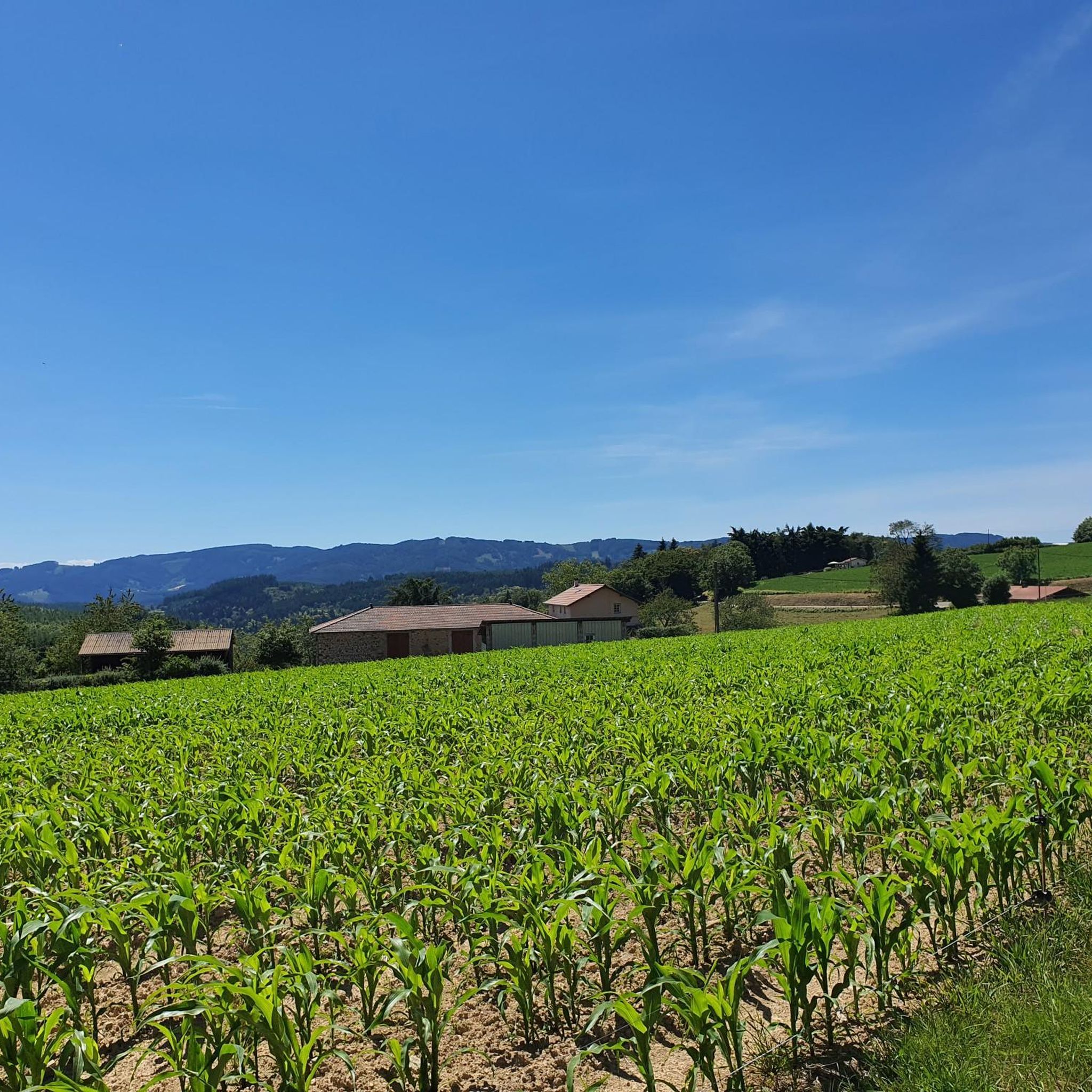
Jogging around Tourvéon offers diverse landscapes within the Beaujolais mountains, a region characterized by its mountainous terrain and varied paths. Mont Tourvéon, a prominent peak at 944 meters, provides challenging routes and panoramic views of the surrounding areas. The region also features fresh river valleys, such as those formed by the Azergues and Ardières rivers, and extensive wooded areas, offering shaded trails ideal for running. These natural features create a compelling destination for outdoor enthusiasts seeking varied jogging routes.
Best…
Last updated: June 27, 2026
7
runners
14.2km
01:54
610m
610m
Hard run. Very good fitness required. Mostly paved surfaces. Suitable for all skill levels.
6
runners
21.8km
02:49
930m
930m
Hard run. Very good fitness required. Mostly paved surfaces. Suitable for all skill levels.

Sign up for free
2
runners
11.4km
01:21
290m
290m
Moderate run. Good fitness required. Mostly paved surfaces. Suitable for all skill levels.
4
runners
17.9km
02:11
640m
640m
Hard run. Very good fitness required. Mostly paved surfaces. Suitable for all skill levels.
3
runners
10.2km
01:14
360m
360m
Hard run. Very good fitness required. Mostly paved surfaces. Suitable for all skill levels.
Get access to more routes and recommendations from other explorers.
Sign up for free
Already have an account?
Our route recommendations are based on thousands of hikes, rides, and runs completed by other people on komoot.
Start today with a free account
Your next adventure awaits.
Login or Signup
Tips from the Community

The roof of the Rhône, beautiful view of the upper Beaujolais
1
0
cabin in the woods, shame it's not maintained
1
0

Great area for a vacation. We recommend.
2
0

This little cabin in the woods is abandoned. If the exterior appears well maintained, the interior is quite degraded.
1
0
La Roche d’Ajoux is the second summit of the Beaujolais mountains, behind Mont Saint-Rigaud. It peaks at 970 meters above sea level. The panorama at the summit extends over the Azergues valley, the Forez and Madeleine mountains, the Charolais and Mont Rigaud.
1
0

The highest point of the Rhône 1009m above sea level, beautiful view at the top of the tower
2
0

Nice climb with big percentages towards the end. In good weather, you can see Mont Blanc from the Tower.
1
1
Great start for multiple mountain bike descents.
1
0
Frequently Asked Questions
How many running routes are available around Tourvéon?
There are over 85 dedicated running routes around Tourvéon, offering a wide range of options for all skill levels. These routes are highly rated by the komoot community, with an average score of 4.0 stars from over 20 reviews.
What types of terrain can I expect on the jogging trails in Tourvéon?
The running trails around Tourvéon, nestled within the Beaujolais mountains, feature diverse terrain. You'll encounter mountainous landscapes with varied elevations, fresh river valleys like those formed by the Azergues and Ardières rivers, and extensive wooded areas that provide shaded trails. This mix offers engaging and ever-changing backdrops for your runs.
Are there any easy or beginner-friendly jogging routes in the Tourvéon area?
Yes, while many routes in Tourvéon are challenging, there are options suitable for beginners. The guide lists 1 easy route and 26 moderate routes, ensuring that runners of all abilities can find a suitable path. For example, the Goat loop from Les Ardillats is a moderate 7.1 miles (11.4 km) trail that leads through scenic Beaujolais Vert.
Can I find circular running routes around Tourvéon?
Absolutely. Many of the running routes in Tourvéon are designed as loops, allowing you to start and finish at the same point. Examples include the challenging Mount Saint-Rigaud – La Roche d'Ajoux loop from Chénelette, which covers 13.9 miles (22.3 km), and the La Roche d'Ajoux loop from Chénelette, a difficult 11.7 miles (18.9 km) route.
What are the best times of year for trail running in Tourvéon?
The Beaujolais region, including Tourvéon, is generally suitable for outdoor activities for much of the year. Spring and autumn offer pleasant temperatures and beautiful scenery. Summer provides shaded trails in wooded areas, ideal for warmer months. While winter running is possible, conditions can be more challenging due to potential snow or ice at higher elevations.
Are there any running routes in Tourvéon that offer panoramic views?
Yes, Mont Tourvéon itself, standing at 944 meters, provides significant elevation for challenging runs and offers panoramic views of the surrounding regions, including the Brionnais, Charolais, Clunisois, and Mâconnais areas. The Croix de Rochefort Viewpoint – Rochefort Cross loop from Les Ardillats is another difficult route that likely features excellent vistas.
Are the running trails around Tourvéon suitable for families?
While many routes in Tourvéon are rated as difficult, there are also moderate and easy options that could be suitable for families, depending on their fitness levels and the age of children. It's recommended to check the difficulty and length of specific routes, such as the moderate Goat loop from Les Ardillats, to ensure they align with your family's capabilities.
What are the natural features I might encounter while running in the Tourvéon area?
The Tourvéon area is rich in natural beauty. You'll experience the mountainous terrain of the Beaujolais massif, including Mont Tourvéon itself. The region is also the source of the Azergues and Ardières rivers, offering picturesque river-side paths. Expect to run through extensive wooded areas, providing natural shade and a tranquil environment.
Is there parking available near the running routes in Tourvéon?
While specific parking locations aren't detailed for every route, many trails, especially those starting from villages like Chénelette or Les Ardillats, typically have designated parking areas. It's advisable to check the starting point of your chosen route on komoot for more precise parking information.
Can I reach the running trails in Tourvéon using public transport?
The Beaujolais mountains, where Tourvéon is located, are a more rural area. While some regional bus services might connect larger towns, direct public transport access to specific trailheads can be limited. It's generally recommended to have personal transportation to reach the starting points of many running routes in this region.
What do other runners say about their experience jogging in Tourvéon?
The running routes in Tourvéon are highly regarded by the komoot community, with an average rating of 4.0 stars from over 20 reviews. More than 1600 runners have used komoot to explore the varied terrain. Reviewers often praise the challenging ascents, diverse landscapes, and the extensive trail running opportunities available in the area.
Are there any historical or cultural points of interest near the running trails?
Yes, the summit of Mont Tourvéon holds the remains of an ancient fortress, known as the 'château de Ganelon', which adds a historical and mythical element to exploring the area. While running, you might encounter signs of this past, adding a cultural layer to your outdoor adventure.
Most popular routes around Tourvéon

Get inspired with the komoot mobile app


Explore more
Browse the best Running Trails & Routes in other regions.
