The best road cycling routes around Forêt domaniale de Longuenée
4.1
(80)
1,455
riders
269
rides
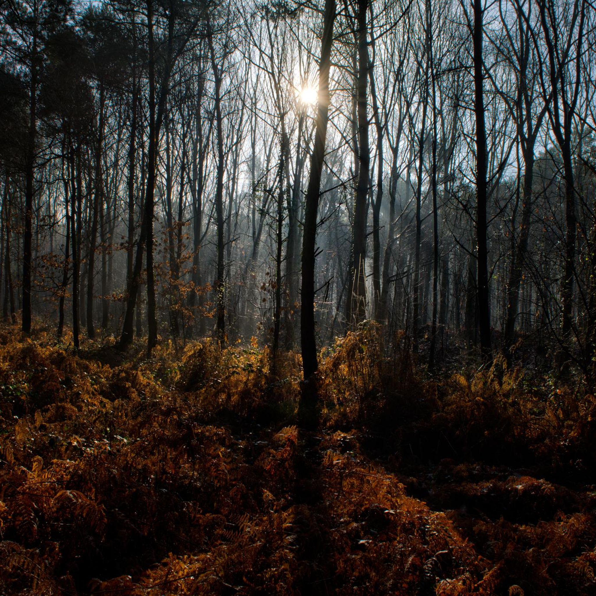
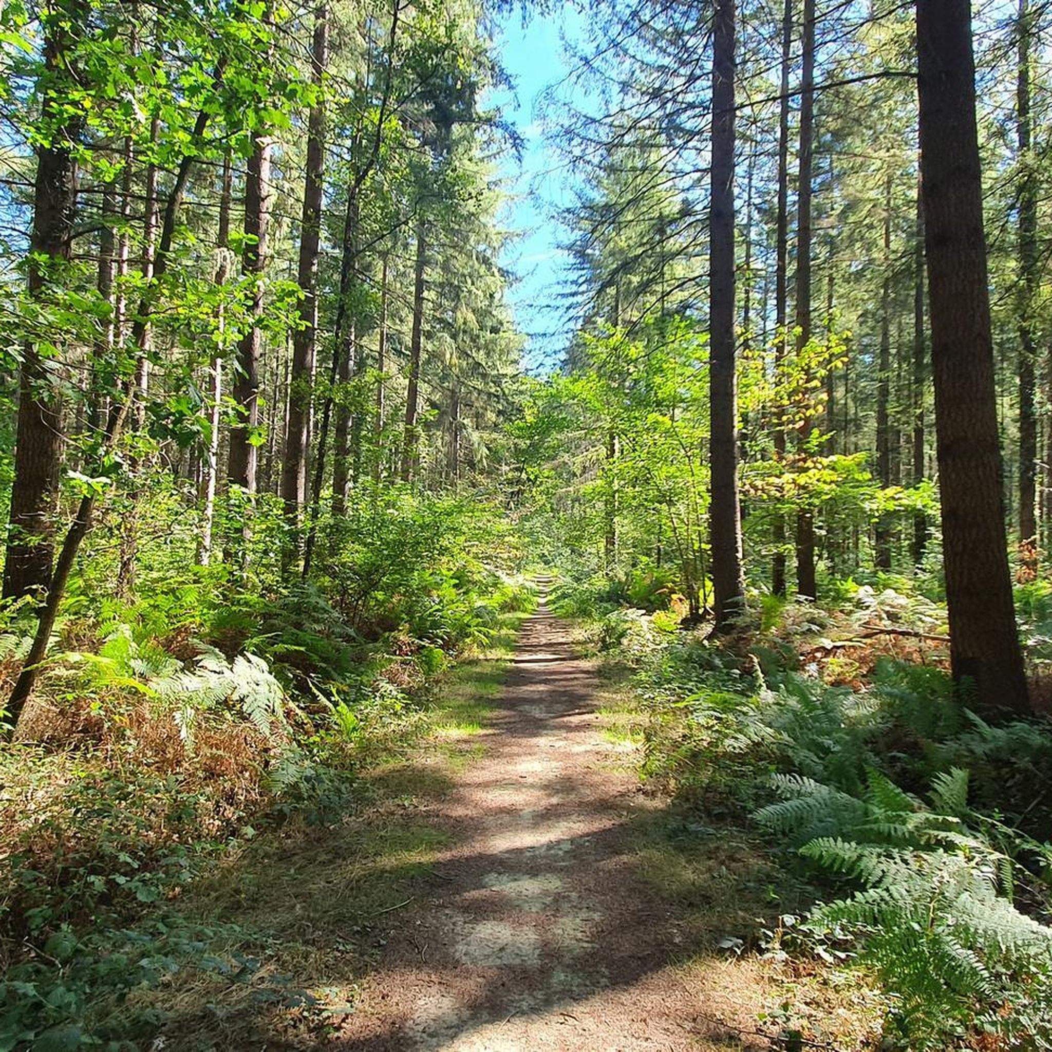
Road cycling around Forêt domaniale de Longuenée offers routes through a diverse landscape of mixed forests and gentle topography. The area features approximately 80% conifers and 20% hardwoods, providing varied scenery. Terrain changes are generally gentle, with a maximum elevation of 103 meters, making many routes accessible. Dedicated cycling paths are available, alongside a tranquil 3.5-hectare fishing pond.
Best road cycling routes around Forêt domaniale de Longuenée
- The most popular road cycling route is Roadbike loop from La Membrolle-sur-Longuenée,…
Last updated: May 23, 2026
6
riders
31.3km
01:14
150m
150m
Easy road ride. Great for any fitness level. Mostly well-paved surfaces and easy to ride.
7
riders
33.7km
01:25
220m
220m
Easy road ride. Great for any fitness level. Mostly well-paved surfaces and easy to ride.

Sign up for free
6
riders
Hard road ride. Very good fitness required. Some segments of this route may be unpaved and difficult to ride.
4
riders
Moderate road ride. Good fitness required. Mostly well-paved surfaces and easy to ride.
3
riders
84.1km
03:35
620m
620m
Moderate road ride. Good fitness required. Mostly well-paved surfaces and easy to ride.
Get access to more routes and recommendations from other explorers.
Sign up for free
Already have an account?
Our route recommendations are based on thousands of hikes, rides, and runs completed by other people on komoot.
Start today with a free account
Your next adventure awaits.
Login or Signup


Tips from the Community

I received a lovely welcome, with service that was quite quick in my opinion and, above all, a good vegetarian burger served with delicious homemade fries. In short, an excellent break!
0
0


Magnificent site with camping and a waterfront café. Relaxing and pleasant.
0
0

Very exotic, calm of nature, diversity of sites (Loire, hillsides, vineyards) Savennières charming village to discover
1
0

It is the only pass in Maine-et-Loire.
0
0

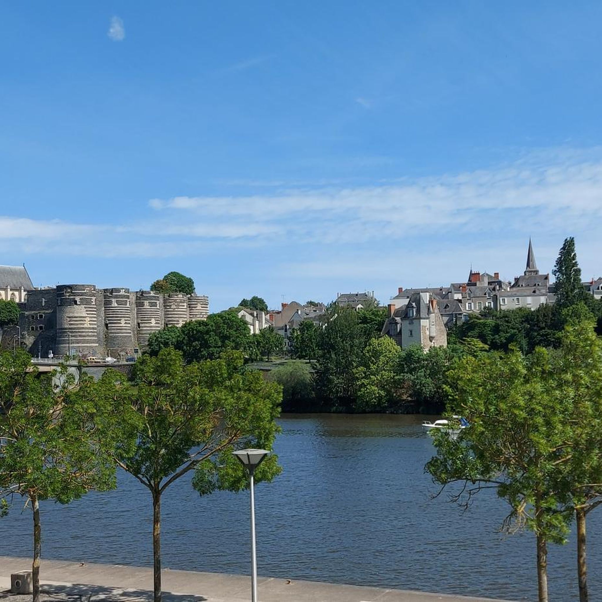
Angers Castle is located on the Maine River, near the confluence of the Maine and Loire. Angers is today the capital of the Maine-et-Loire department in the Pays de la Loire region; it was the ancient capital of Anjou.
3
0

To be reached from Chalonnes station for a little difficulty...
0
0
Small winding road between Savennières and Épire.
0
0
Frequently Asked Questions
How many road cycling routes are available in and around Forêt domaniale de Longuenée?
There are over 250 road cycling routes in the Forêt domaniale de Longuenée area. These routes cater to various skill levels, with approximately 70 easy routes and over 180 moderate options, ensuring a suitable ride for most cyclists.
What is the typical terrain and elevation like for road cycling in Forêt domaniale de Longuenée?
The terrain in Forêt domaniale de Longuenée is generally gentle and accessible, with altitudes ranging from 72m to 103m. This relatively flat landscape makes for an enjoyable cycling experience without significant climbs, perfect for relaxed rides through the forest and surrounding countryside.
Are there any circular road cycling routes in the area?
Yes, many of the road cycling routes in Forêt domaniale de Longuenée are designed as loops. For example, the easy Roadbike loop from La Membrolle-sur-Longuenée offers a 31.3 km ride through varied forest environments. Another popular option is the Village of Grez Neuville loop from La Membrolle-sur-Longuenée, which is 39.8 km long and provides scenic views of the countryside.
What kind of natural features can I expect to see while cycling in Forêt domaniale de Longuenée?
The forest offers a diverse landscape with a mix of coniferous trees like maritime pine and Douglas fir, and deciduous trees such as oak and chestnut. You'll also find a tranquil 3.5-hectare fishing pond, and the area is rich in biodiversity, being a designated ZNIEFF. Keep an eye out for local wildlife like roe deer, wild boar, and various bird species.
What do other road cyclists say about the routes in Forêt domaniale de Longuenée?
The road cycling routes in Forêt domaniale de Longuenée are highly rated by the komoot community, with an average score of 4.2 stars from over 60 reviews. Cyclists often praise the diverse forest compositions, gentle hills, and the peaceful, open rural roads that offer a refreshing escape.
Are there any longer, more challenging road cycling routes for experienced cyclists?
While many routes are easy to moderate, there are options for longer rides. The Church – Château-Gontier Castle loop from Brain-sur-Longuenée is a moderate 76.0 km route that takes approximately 3 hours 20 minutes to complete, offering a more extended cycling experience through the region.
Is Forêt domaniale de Longuenée suitable for family-friendly road cycling?
Yes, the relatively flat terrain and numerous easy routes make Forêt domaniale de Longuenée suitable for family-friendly road cycling. The gentle gradients and well-maintained paths provide a safe and enjoyable environment for cyclists of all ages. Picnic areas are also available for breaks.
Where can I park my car when visiting Forêt domaniale de Longuenée for road cycling?
While specific parking locations for cyclists are not detailed, state-owned forests like Forêt domaniale de Longuenée typically have designated parking areas at various access points. It's advisable to check local signage upon arrival or consult detailed maps for official forest entrances and parking facilities.
Are there any specific times or seasons to avoid when planning a road cycling trip?
It's important to note that the Forêt domaniale de Longuenée is closed to the public every Thursday during hunting season. To ensure a safe and uninterrupted ride, it's best to check local hunting schedules or plan your visit on other days of the week, especially during autumn and winter months when hunting is more common.
Can I find cafes or pubs near the road cycling routes for a break?
While the forest itself offers a calm, natural environment with picnic areas, you'll find cafes and pubs in the nearby villages surrounding Forêt domaniale de Longuenée, such as La Membrolle-sur-Longuenée or Brain-sur-Longuenée. These villages provide opportunities for refreshments and meals before or after your ride.
What is the best way to access Forêt domaniale de Longuenée by public transport?
Forêt domaniale de Longuenée is located approximately 25 kilometers northwest of Angers. While direct public transport links into the forest may be limited, Angers is well-connected by regional transport. From Angers, you would likely need to cycle or arrange local transport to reach the forest's access points.
Most popular routes around Forêt domaniale de Longuenée

Get inspired with the komoot mobile app


Explore more
Browse the best Road cycling routes in other regions.
