The best road cycling routes around El Bosque del Tejedelo
17
riders
5
rides
Road cycling routes around El Bosque del Tejedelo traverse a landscape shaped by ancient glaciers, featuring deep valleys, extensive oak forests, and numerous glacial lakes. The region, part of the Sanabria area in Zamora, Spain, offers varied topography for road cyclists. Paved routes provide access to diverse natural beauty, from the vicinity of the ancient yew forest to mountainous scenery. The terrain includes both gentle rides along valleys and more demanding climbs.
Best road cycling routes around El Bosque del…
Last updated: May 16, 2026
4
riders
Moderate road ride. Good fitness required. Mostly well-paved surfaces and easy to ride.
2
riders
97.5km
05:01
1,690m
1,690m
Hard road ride. Very good fitness required. Mostly well-paved surfaces and easy to ride.

Sign up for free
44.1km
02:36
1,020m
1,020m
Hard road ride. Very good fitness required. Mostly well-paved surfaces and easy to ride.
6
riders
105km
05:57
2,290m
2,290m
Hard road ride. Very good fitness required. Mostly well-paved surfaces and easy to ride.
3
riders
93.5km
05:22
2,020m
2,020m
Hard road ride. Very good fitness required. Some segments of this route may be unpaved and difficult to ride.
Our route recommendations are based on thousands of hikes, rides, and runs completed by other people on komoot.
Start today with a free account
Your next adventure awaits.
Login or Signup
Popular around El Bosque del Tejedelo

Tips from the Community

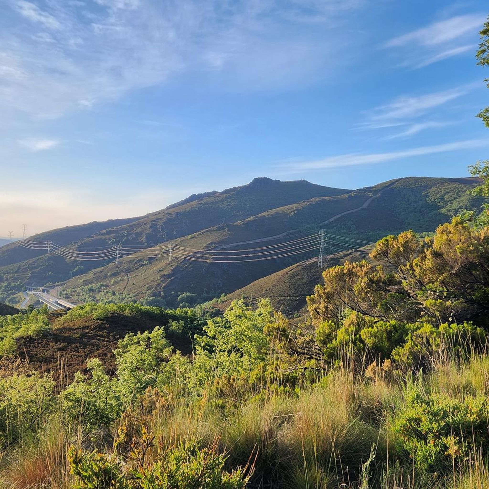
Here begins an uphill section through forests
0
1

The Portela da Canda Pass, also known as the Canda Pass or simply A Canda, is a mountain pass of great geographical, historical, and cultural value that connects Galicia (province of Ourense) with Castile and León (province of Zamora). Located in the Sierra Segundera mountain range, within the Galician Massif, it has traditionally been a crossing point for travelers, merchants, and pilgrims. It forms part of the Sanabrés Way of St. James, an extension of the Silver Route (Vía de la Plata), and is the entry point into Galicia for pilgrims coming from the south. The surrounding area features Jacobean sculptures and wayside crosses (cruceiros) that guide the route, the work of the artist Nicanor Carballo.
5
0

a spectacular area for nature sports
0
0

very nice place. Was recently voted one of the 10 most beautiful places in Spain. A bit touristy, but not overcrowded
2
1

Personally, I don't like this area a lot. I have seen hares, rabbits, deer, wolves and it's always quiet. I always go alone and explore paths
2
0

Small Zamorana town near Portugal in the Sanabria region. Picturesque town with numerous fountains and a bar where you can stop to recharge your batteries.
0
0
Built in the s. XV by the Pimentel family after taking control of the region, the fortress would witness the wars with Portugal in the s. XVIII and the War of Independence, when Portuguese soldiers would face the Serrar Division of the French army.
0
0

Imposing castle from the 15th century, a military fortress that was destroyed in the late 18th century and early 19th century during the War of Independence with Portugal and France. It suffered abandonment until the end of the 20th century, when the library, the Exhibition Hall and the Assembly Hall were installed. It currently houses the Visitor Center and the Municipal Tourism Office.
4
0
Frequently Asked Questions
What kind of terrain can I expect when road cycling around El Bosque del Tejedelo?
The Sanabria region, where El Bosque del Tejedelo is located, offers diverse road cycling terrain shaped by ancient glaciers. You'll find deep valleys, extensive oak forests, and numerous glacial lakes. Routes vary from gentle rides along valleys to more demanding climbs through mountainous scenery, with many sections being paved.
Are there road cycling routes suitable for beginners or families?
While many routes in the immediate vicinity are moderate to difficult, the broader Sanabria region does offer options for varying skill levels. For instance, the 'Puebla-Lago de Sanabria MTB Route' (which is mostly paved) is described as suitable for all skill levels, offering views of Lake Sanabria and the Tera River. When planning, look for routes with lower elevation gains and shorter distances.
What are some notable natural features or landmarks I can see while road cycling in the area?
Road cycling routes in the Sanabria region offer spectacular views of glacial lakes, such as Lake Sanabria, and the Tera River. You'll also pass through extensive oak forests. While the ancient yew forest of El Bosque del Tejedelo itself is best explored on foot, some longer cycling routes pass through its vicinity, allowing you to experience the diverse natural beauty of the area.
Are there challenging road cycling routes for experienced cyclists?
Yes, the region offers several challenging routes with significant elevation gains. For example, the Porto and San Sebastián Dam Loop from Lubián is a difficult 60.6-mile path with challenging climbs. Another demanding option is the Lubián Village – Portela da Canda Pass loop from Lubián, covering 65.3 miles with over 2,200 meters of elevation gain.
What is the best time of year for road cycling around El Bosque del Tejedelo?
The region experiences a mountainous climate. Spring and autumn generally offer pleasant temperatures for cycling, with vibrant foliage or blooming flora. Summers can be warm, but the higher elevations and forest areas provide some respite. Winters can be cold, with potential for snow at higher altitudes, making some routes less accessible.
Where can I find parking for road cycling routes?
While specific parking for every cycling route trailhead isn't detailed, the nearby village of Requejo de Sanabria serves as a common starting point for exploring the area. For the hiking trail into El Bosque del Tejedelo, there's a car park about 3.5 km from Requejo. When planning your route, consider starting from larger towns like Puebla de Sanabria or Requejo, which typically offer parking facilities.
Are there any circular road cycling routes available?
Yes, many of the road cycling routes in the region are designed as loops. For instance, the Old Town of Puebla de Sanabria – Puebla de Sanabria Castle loop from Requejo is a popular circular route. Another example is the Alto do Ladiairo and Hermisende Loop, offering a challenging circular ride.
Can I access road cycling routes using public transport?
Puebla de Sanabria is a significant hub in the region with 96 cycling routes and is generally better connected by public transport than smaller villages. You might consider starting your cycling adventure from Puebla de Sanabria and exploring routes that begin or pass through there. For smaller villages like Requejo or Lubián, public transport options might be more limited, so checking local schedules in advance is recommended.
Are there places to eat or stay near the road cycling routes?
The towns of Puebla de Sanabria and Requejo de Sanabria, often serving as starting points for routes, offer various amenities. You can find cafes, pubs, and accommodation options in these villages to refuel and rest after your ride. The broader Sanabria region is geared towards tourism, so you'll likely find services in other populated areas along your chosen route.
What is the average elevation gain on road cycling routes in this area?
The elevation gain varies significantly depending on the route's difficulty. Moderate routes, like the Old Town of Puebla de Sanabria – Puebla de Sanabria Castle loop from Requejo, feature over 600 meters (2,000 feet) of elevation gain. Difficult routes can have much more, with some exceeding 1,600 meters, such as the Porto and San Sebastián Dam Loop from Lubián, which has over 1,690 meters of ascent.
Are there any specific regulations or permits required for road cycling in the Sanabria region?
Generally, road cycling on public roads in the Sanabria region does not require special permits. However, if your route takes you through specific natural parks or protected areas, it's always advisable to check for any local regulations regarding access or activities. The yew forest of El Bosque del Tejedelo itself is a protected area primarily for hiking, with paths designed to minimize human impact.
Most popular routes around El Bosque del Tejedelo

Get inspired with the komoot mobile app


Explore more
Browse the best Road cycling routes in other regions.
