The best walks and hikes around Sierra de Alcubierre
4.2
(7)
34
hikers
9
hikes
Hiking around Sierra de Alcubierre offers exploration through a unique arid, steppe-like Monegros landscape, characterized by numerous ravines and distinctive badlands topography. The region features pine and juniper forests in some areas, contrasting with its generally dry environment. Key elevations include Monte Oscuro (822 m) and San Caprasio (811 m), providing varied terrain for hikers. This mountain range, located between Zaragoza and Huesca, presents a diverse environment for outdoor activities.
Best hiking trails around Sierra de Alcubierre
- The most popular…
Last updated: May 16, 2026
2
hikers
11.8km
03:21
260m
270m
Moderate hike. Good fitness required. Easily-accessible paths. Suitable for all skill levels.
3.0
(1)
8
hikers
Moderate hike. Good fitness required. Easily-accessible paths. Suitable for all skill levels.

Sign up for free
4.0
(1)
4
hikers
20.7km
05:41
330m
330m
Hard hike. Very good fitness required. Easily-accessible paths. Suitable for all skill levels.
4.0
(2)
5
hikers
19.5km
05:28
390m
390m
Hard hike. Very good fitness required. Easily-accessible paths. Suitable for all skill levels.
5.0
(1)
4
hikers
9.36km
02:35
170m
170m
Moderate hike. Good fitness required. Easily-accessible paths. Suitable for all skill levels.
Get access to more routes and recommendations from other explorers.
Sign up for free
Already have an account?
Our route recommendations are based on thousands of hikes, rides, and runs completed by other people on komoot.
Start today with a free account
Your next adventure awaits.
Login or Signup
Popular around Sierra de Alcubierre
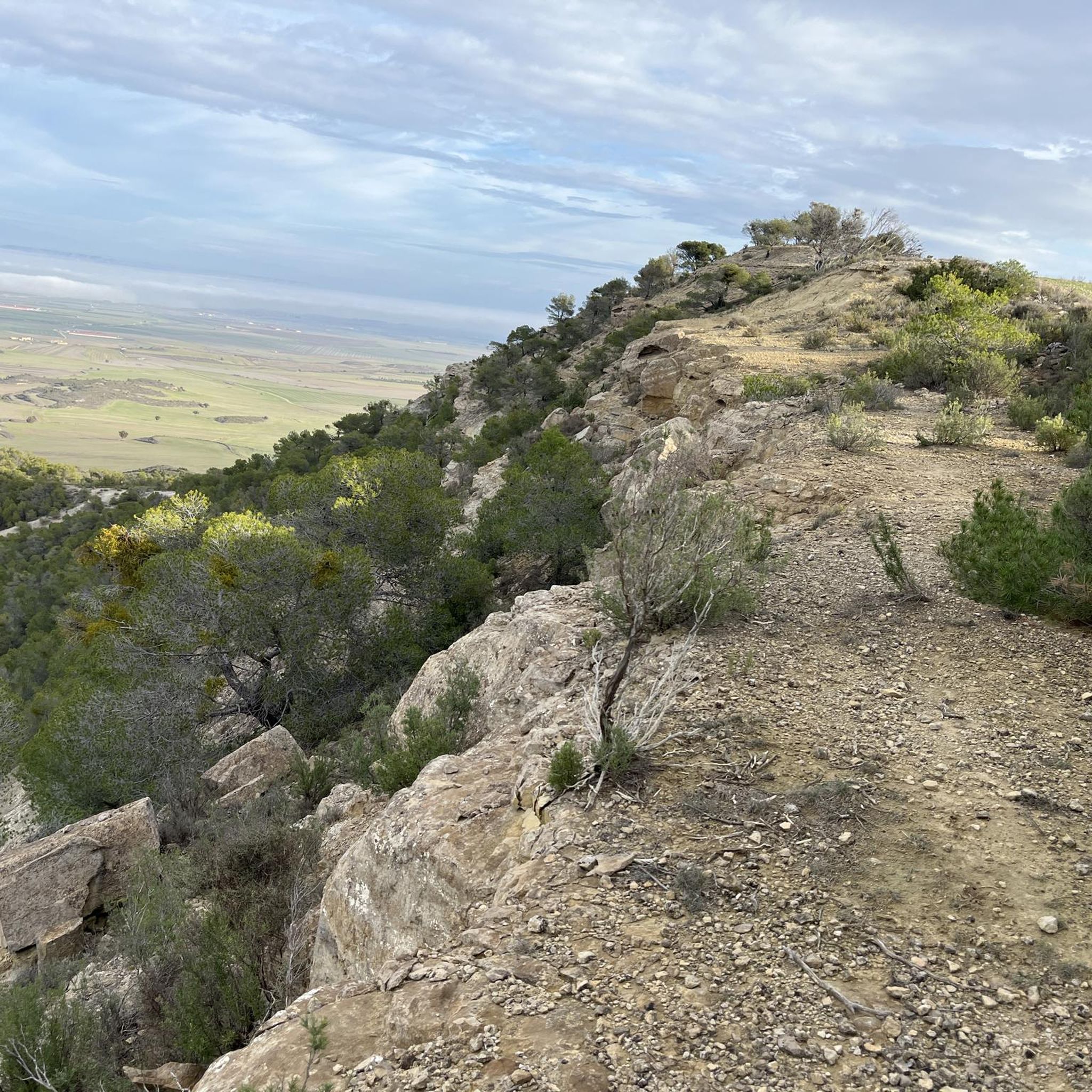
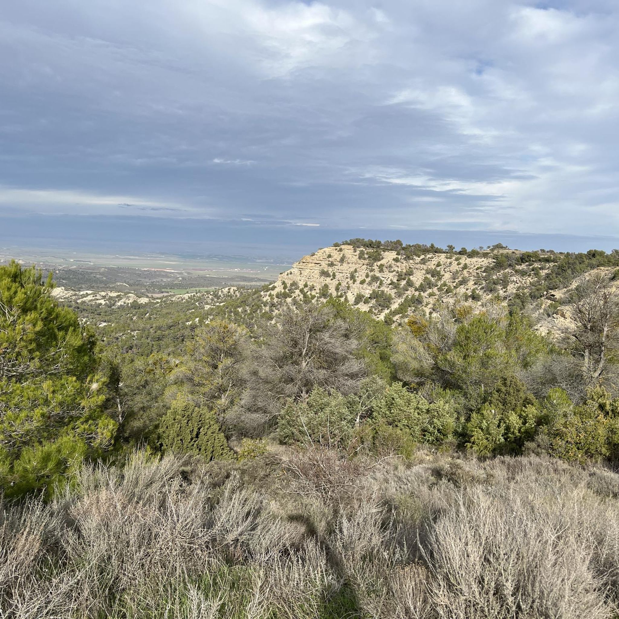

Tips from the Community

a sample of everything that can be done!
0
0

A magical place! Magnificent views and peaks of the Ruta de los Miradores
0
0
This is where the Ruta de los Miradores really begins – a wonderful mountain road for MTB and gravel bikes.
0
0
A magical place! Magnificent views along the entire panoramic road
0
0

A tough but very rewarding climb to the top of Monte Oscuro, home to the weather station and the large spherical radar visible for miles. The place is breathtaking: surrounded by silence, with spectacular views of the entire Cinca Medio, the Pyrenees to the north, and the Monegros to the south. The climb is steady, along a well-maintained forest track, although with challenging sections. Reaching the top, with the radar next to you, gives you the feeling of having reached a special place. A must-stop for photos, a break, and to enjoy the open landscape.
0
0
A group of natural caves located on the slopes of Mount San Caprasio, associated with ancient pastoral, hermitage, and possibly even pre-Christian uses. Some were used as shelters for shepherds or anchorites, and local tradition links them to the primitive cult that gave rise to the hermitage. Relatively easy to access from the track or the hermitage, they are a curious place to explore on foot, with views of the Ésera Valley and an utterly silent environment. They add a mystical and ancestral touch to any route in the area.
0
0
A small natural viewpoint located on a stretch of the trail just before reaching the San Caprasio hermitage. It offers sweeping views of the Ésera Valley, the surrounding villages (El Run, Castejón de Sos, Sesué), and, on clear days, as far as Turbón and part of the Posets massif. Ideal for resting after the climb, taking photos, or simply enjoying the silence of the mountain. A perfect spot to recharge your batteries before the final stretch to the hermitage.
0
0
A dirt track that ascends from El Run toward the area around San Caprasio, with sections of steady gradient and uneven road surfaces in places. Ideal for MTB or gravel riders with good handling, it offers spectacular views of the Ésera Valley and the Pyrenean foothills. Surrounded by forest and scrubland, it is a challenging but very rewarding climb. Perfect as a connecting section to higher routes in the Benasque Valley or as a symbolic climb for its cultural and scenic value.
0
0
Frequently Asked Questions
How many hiking trails are available in Sierra de Alcubierre?
Sierra de Alcubierre offers a selection of over 9 hiking routes, catering to various preferences and skill levels. These trails explore the unique arid landscapes, ravines, and occasional pine and juniper forests characteristic of the Monegros region.
What kind of terrain can I expect on the hiking trails in Sierra de Alcubierre?
Hikers in Sierra de Alcubierre can expect a diverse terrain characterized by an arid, steppe-like Monegros landscape. This includes numerous ravines and distinctive badlands topography. While generally dry, some areas feature pine and juniper forests. The highest points, such as Monte Oscuro (822 m) and San Caprasio (811 m), offer more challenging ascents and rewarding views.
Are there any historical sites or unique landmarks to explore along the trails?
Yes, Sierra de Alcubierre is rich in historical and natural landmarks. You can explore the Natural Caves of San Caprasio, which have a long history of use, and the nearby San Caprasio Hermitage, partly carved into the rock. Another significant historical highlight is the Orwell Route, which tours reconstructed fortifications from the Spanish Civil War on the Aragon front.
Are there any circular hiking routes in Sierra de Alcubierre?
Yes, several circular routes are available. For instance, the Summit and radar of Monte Oscuro — circular via the Sierra de Alcubierre is a moderate 11.8 km trail leading to the Monte Oscuro weather radar. Another option is the Hiking loop from Leciñena, a 9.4 km route through varied Monegros terrain.
When is the best time of year to hike in Sierra de Alcubierre?
Given the arid nature of the Monegros landscape, the best times to hike in Sierra de Alcubierre are typically spring (March to May) and autumn (September to November). During these seasons, temperatures are milder and more comfortable for outdoor activities, avoiding the intense heat of summer and potential colder conditions in winter.
What do other hikers enjoy most about the trails in Sierra de Alcubierre?
The trails in Sierra de Alcubierre are highly rated by the komoot community, with an average score of 4.2 stars. Hikers often praise the unique arid landscapes, the sense of exploration through ravines and badlands, and the rewarding views from higher points like Monte Oscuro. The historical elements, such as the San Caprasio caves and the Orwell Route, also add a distinctive appeal.
Are there any easy hiking routes suitable for beginners or families?
Yes, there are easy routes available. While specific family-friendly designations aren't always explicit, routes with shorter distances and less elevation gain are generally suitable. For example, the Orwell route from Puerto de Alcubierre is described as a short route, and the Hiking loop from Leciñena is a moderate 9.4 km trail that can be completed in under 2.5 hours.
What are the parking options for hikers in Sierra de Alcubierre?
While specific parking areas for every trailhead are not detailed, many routes in the Sierra de Alcubierre region typically have informal parking available near their starting points, especially in or near the villages that serve as access points to the trails. It's advisable to check route descriptions or local information for the most convenient parking for your chosen trail.
Is public transport available to reach the hiking areas in Sierra de Alcubierre?
Public transport options directly to specific trailheads within the Sierra de Alcubierre can be limited. The region is situated between Zaragoza and Huesca, and while these cities have transport links, reaching the more remote hiking starting points often requires a car. Some villages within the Sierra might have bus connections, but frequency can be low.
What kind of wildlife might I encounter while hiking in Sierra de Alcubierre?
The arid, steppe-like environment of Sierra de Alcubierre supports a variety of wildlife adapted to these conditions. You might spot various bird species, including raptors, as well as small mammals. The unique landscape also hosts specific flora that thrives in dry climates.
Are there any permits required for hiking in Sierra de Alcubierre?
Generally, no specific permits are required for hiking on the established trails within Sierra de Alcubierre. The area is open for public access. However, always respect local regulations, private property, and environmental protection guidelines during your visit.
Are there any viewpoints or scenic spots along the trails?
Absolutely. Reaching the Monte Oscuro weather radar, for instance, offers magnificent views of the Perdiguera and Farlete mountains. Other trails provide spectacular vistas of the Ésera Valley and the Pyrenean foothills. The Enebro Peak is also noted as a viewpoint in the area.
Can I bring my dog on the hiking trails in Sierra de Alcubierre?
Many trails in natural areas like Sierra de Alcubierre are generally dog-friendly, provided dogs are kept under control, ideally on a leash, and owners clean up after them. It's always a good idea to check specific trail regulations or local signage, especially in protected areas, but typically, well-behaved dogs are welcome.
Most popular attractions around Sierra de Alcubierre

Get inspired with the komoot mobile app


Explore more
Browse the best Hikes in other regions.
