The best walks and hikes around Zürichberg
4.6
(5066)
47,279
hikers
51
hikes
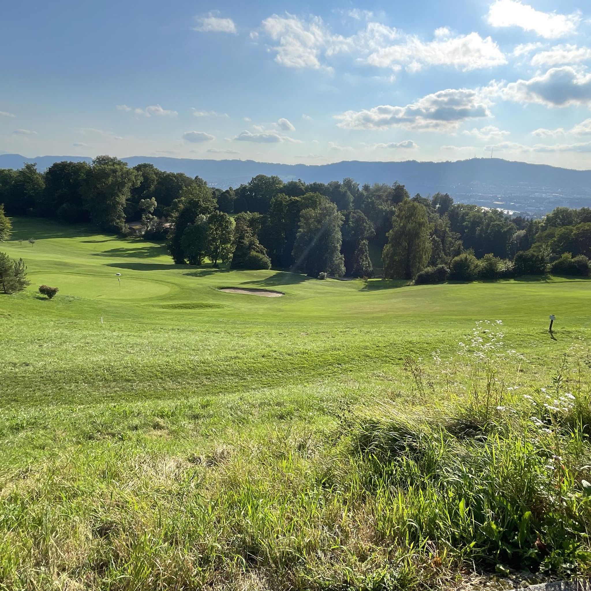
Hiking around Zürichberg offers access to a wooded hill immediately east of Zurich, forming part of a chain of hills that separate the Limmat and Glatt river valleys. The terrain is characterized by extensive woodlands, providing natural shade and diverse paths. From various points, hikers can find panoramic views of Lake Zurich and the city. The area includes features like the Jörentobel ravine with its Ice Age boulders.
Best hiking trails around Zürichberg
- The most popular hiking route is Dolderbahn mountain station – Loorenkopf Tower loop from Bergstation Dolderbahn, a 4.4 miles (7.1 km) trail that takes 2 hours 3 minutes to complete, offering views from the Loorenkopf Tower.
- Another top favourite among local hikers is Dolderbahn Mountain Station – Loorenkopf Tower loop from Bergstation Dolderbahn, an easy 2.8 miles (4.4 km) path. This route provides a shorter option through the wooded hillside, also leading to the Loorenkopf Tower.
- Local hikers also love the Loorenkopf Tower – Dolderbahn mountain station loop from Kreis 7, a 7.2 miles (11.6 km) trail leading through varied wooded terrain, often completed in about 3 hours 16 minutes.
- Hiking around Zürichberg is defined by lush woodlands, panoramic viewpoints, and the Jörentobel ravine. The network offers options for different ability levels, from easy strolls to moderate routes.
- The routes in Zürichberg are highly rated by the komoot community with an average score of 4.8 stars from over 600 reviews. More than 3000 hikers have used komoot to explore Zürichberg's varied terrain.
Last updated: October 1, 2026
4.8
(11)
50
hikers
Easy hike. Great for any fitness level. Easily-accessible paths. Suitable for all skill levels.
4.0
(3)
9
hikers
11.7km
03:18
250m
260m
Moderate hike. Good fitness required. Easily-accessible paths. Suitable for all skill levels.

4.0
(1)
4
hikers
2.92km
00:57
100m
100m
Moderate hike. Great for any fitness level. Mostly accessible paths. Sure-footedness required.
4.3
(3)
22
hikers
7.69km
02:08
140m
140m
Moderate hike. Good fitness required. Easily-accessible paths. Suitable for all skill levels.
8
hikers
8.44km
02:24
190m
190m
Moderate hike. Good fitness required. Easily-accessible paths. Suitable for all skill levels.
Get access to more routes and recommendations from other explorers.
Already have an account?
Our route recommendations are based on thousands of hikes, rides, and runs completed by other people on komoot.
Start today with a free account
Your next adventure awaits.

Other adventures around Zürichberg

Tips from the Community

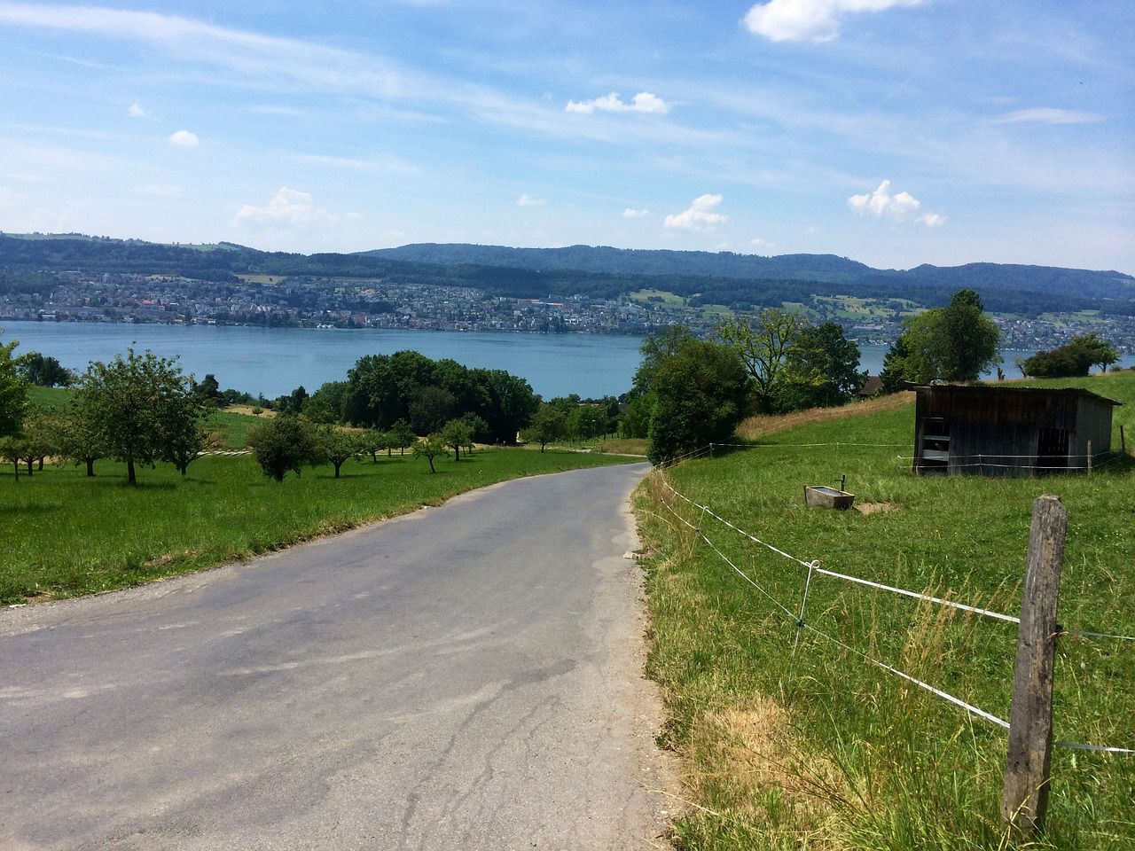
Beautiful view over Lake Zurich.
0
0

Welcome cooling off after the climb.
0
0


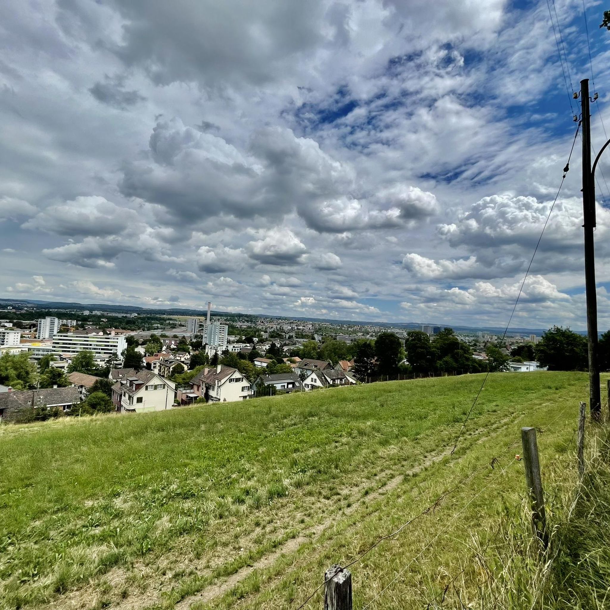
Super nice view from up here over the city and the lake
0
0
Good vantage point
1
0

Not far from the zoo there is a spectacular view of the glittering Lake Zurich. At around 40 kilometers long, it connects Zurich with Rapperswil and has shaped life in the region for centuries.
1
0
The Rigiblick cable car runs from Universitätstrasse up to Rigiblick in Zurich's Oberstrass district. Since it opened in 1901, it has been modernized several times. In 1979, it was put into operation as the first fully automatic cable car in Switzerland and is used by around 600,000 passengers a year.
1
0
Frequently Asked Questions
What kind of hiking trails can I expect on Zürichberg?
Zürichberg offers a variety of hiking trails, predominantly through lush woodlands. You'll find options ranging from easy strolls to moderate routes, with no difficult trails reported. The terrain often includes gentle ascents and descents, providing a pleasant experience for most fitness levels. In total, there are over 50 routes available, with more than 30 considered easy.
How can I reach the hiking trails on Zürichberg using public transport?
Zürichberg is very well connected by public transport. You can easily access different parts of the hill via tram route 6, the Rigiblick funicular, or the Dolderbahn rack railway. These options make it convenient to reach various starting points for your hike without needing a car.
Are there family-friendly hiking options on Zürichberg?
Yes, Zürichberg has many family-friendly options, especially among its 32 easy trails. The wooded environment provides natural shade, and many paths are suitable for all skill levels. For a shorter, easy walk that still offers great views, consider the Dolderbahn Mountain Station – Loorenkopf Tower loop, which is 2.8 miles (4.4 km) long.
Can I hike with my dog on Zürichberg?
Zürichberg's extensive woodlands are generally welcoming for dogs. Many trails offer natural settings away from busy roads, providing a great environment for walks with your canine companion. Always ensure your dog is under control and check for any local regulations regarding leashes, especially near protected areas or wildlife.
What are the best viewpoints or natural features to look out for on Zürichberg hikes?
Hikers on Zürichberg are rewarded with stunning panoramic views of Lake Zurich, the city, and even the distant Alps on clear days. A key highlight is the Loorenkopf Tower, which offers excellent vistas over parts of Lake Zurich and Lake Greifen. You can also explore the spectacular Jörentobel ravine, known for its hundreds of Ice Age boulders.
Are there circular hiking routes available on Zürichberg?
Yes, many of the trails on Zürichberg are designed as circular routes, allowing you to start and end at the same point. Popular examples include the Dolderbahn mountain station – Loorenkopf Tower loop (7.1 km) and the Loorenkopf Tower – Dolderbahn mountain station loop (11.6 km), both offering varied wooded terrain.
What is the best season for hiking on Zürichberg, and are there winter options?
Zürichberg is enjoyable throughout the year. Spring and autumn offer pleasant temperatures and beautiful foliage, while summer provides ample shade from the extensive woodlands. In winter, the trails can be transformed into a serene landscape, suitable for winter walks, though conditions may vary. Always check local weather and trail conditions before heading out in colder months.
Are there cafes or places to eat along the hiking paths on Zürichberg?
Yes, you can find places to refresh yourself. For instance, the Degenried Pond and Waldhaus is a notable spot. The proximity to Zurich also means there are various options just a short distance from the trails.
How long do hikes on Zürichberg typically take?
Hikes on Zürichberg vary in duration to suit different preferences. You can find shorter, easy paths that take around 1.5 to 2 hours, such as the Dolderbahn Mountain Station – Loorenkopf Tower loop (approx. 1 hour 16 minutes). Longer, moderate routes can take over 3 hours, like the Loorenkopf Tower – Dolderbahn mountain station loop (approx. 3 hours 16 minutes).
What do other hikers enjoy most about Zürichberg?
The area is highly rated by the komoot community, with an average score of 4.8 stars from over 600 reviews. Reviewers often praise the lush woodlands, the diverse paths, and the stunning panoramic views of Lake Zurich and the city. The convenience of access from Zurich while feeling immersed in nature is also a frequently mentioned positive aspect.
Is there parking available for hikers on Zürichberg?
While public transport is highly recommended due to excellent accessibility, there are parking options available in the vicinity of Zürichberg. Specific parking areas can be found near popular trailheads or attractions like the Zoo Zürich. However, spaces might be limited, especially on weekends, so planning ahead or using public transport is advisable.
Are there any other attractions near the hiking trails on Zürichberg?
Beyond the trails, Zürichberg offers several other attractions. The Zürich Zoo is located in the area and can be integrated into hiking routes. For a different kind of outdoor activity, the Pumptrack Zürichberg provides a fun experience for all ages. You can also discover various ponds like Moosholz Pond and Resi Pond.
Most popular routes around Zürichberg
Most popular attractions around Zürichberg

Get inspired with the komoot mobile app


Explore more
Browse the best Hikes in other regions.
