The best running trails around Réserve scientifique naturelle des Follatères
4.9
(10)
2,061
runners
127
runs
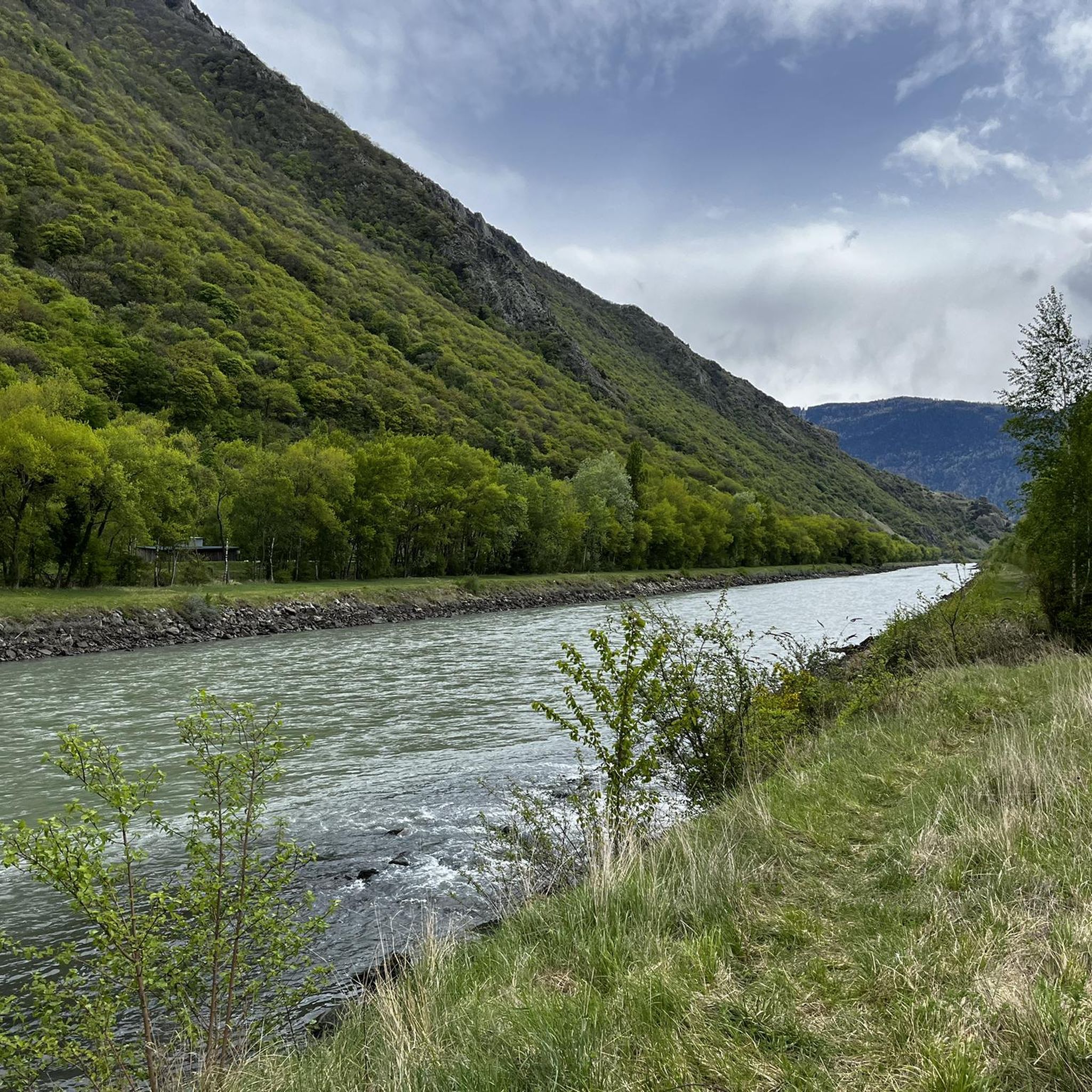
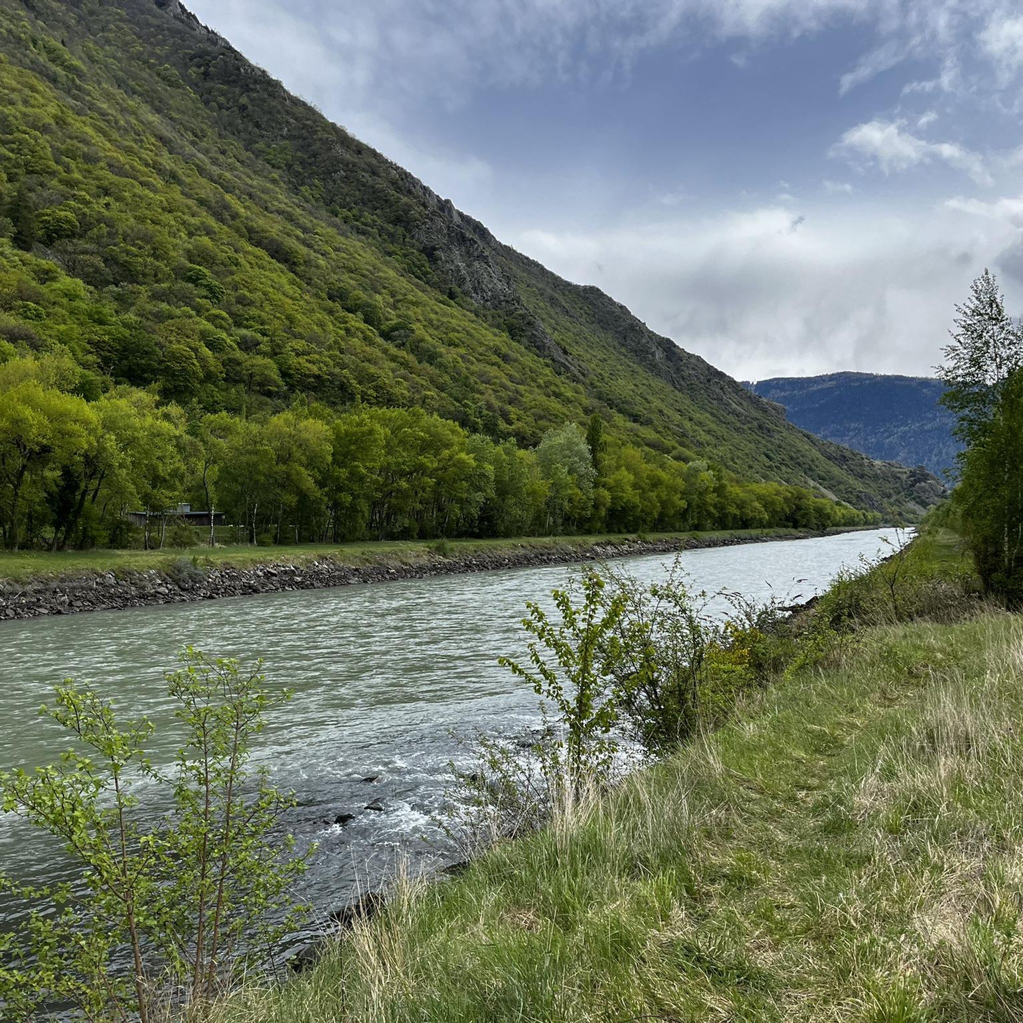
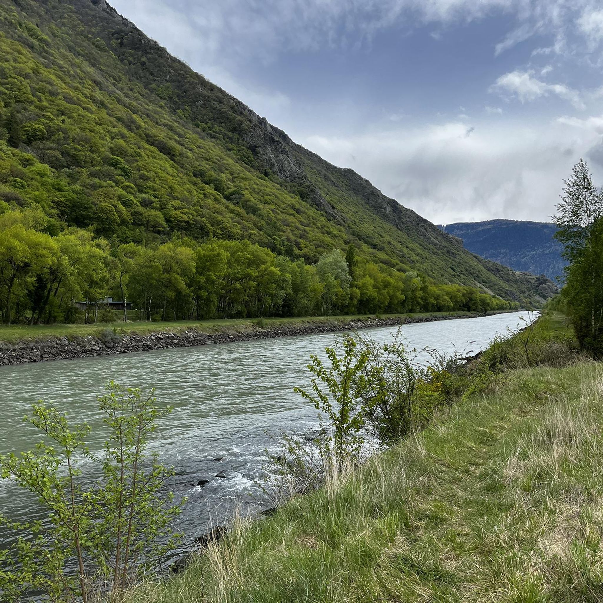
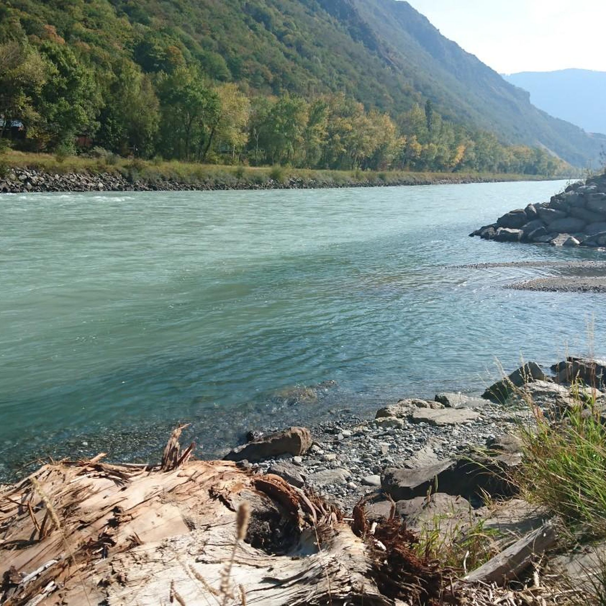
Jogging around Réserve scientifique naturelle des Follatères offers diverse landscapes, from sunny and dry trails through oak and pine forests to rocky steppes and dry meadows. The region, situated between Dorénaz and Fully, features varied terrain with significant elevation changes and well-maintained paths. Joggers can experience a unique environment influenced by continental and Lémanic climates, providing views of the Rhône bend and the surrounding valley. This natural reserve is characterized by its rich biodiversity and extensive network of trails suitable for running.
Best jogging routes around Réserve scientifique naturelle des Follatères
- The most popular jogging route is Running loop from Martigny, a 6.8 miles (11.0 km) difficult trail that takes 2 hours 29 minutes to complete, featuring over 1000 meters of elevation gain.
- Another top favourite among local runners is Canal de Fully loop from Fully, a moderate 3.9 miles (6.3 km) path. This route offers a gentle elevation profile and passes through diverse ecosystems.
- Local runners also love the Running loop from Branson, village, a 3.8 miles (6.2 km) trail leading through varied terrain including forests, often completed in about 43 minutes.
- Jogging around Réserve scientifique naturelle des Follatères is defined by oak forests, rocky steppes, and panoramic views of the Rhône valley. The network offers options for different ability levels, from moderate paths to more challenging routes.
- The routes in Réserve scientifique naturelle des Follatères are highly rated by the komoot community with an average score of 4.9 stars from over 10 reviews. More than 2000 runners have used komoot to explore Réserve scientifique naturelle des Follatères's varied terrain.
Last updated: July 11, 2026
19
runners
11.0km
02:29
1,030m
1,030m
Hard run. Very good fitness required. Sure-footedness, sturdy shoes and alpine experience required.
6
runners
6.29km
00:40
50m
50m
Moderate run. Good fitness required. Mostly paved surfaces. Suitable for all skill levels.

Sign up for free
5
runners
6.16km
00:43
160m
160m
Moderate run. Good fitness required. Mostly paved surfaces. Suitable for all skill levels.
27
runners
13.6km
01:33
130m
130m
Moderate run. Good fitness required. Mostly paved surfaces. Suitable for all skill levels.
28
runners
11.4km
01:41
510m
510m
Hard run. Very good fitness required. Sure-footedness, sturdy shoes and alpine experience required.
Get access to more routes and recommendations from other explorers.
Sign up for free
Already have an account?
Our route recommendations are based on thousands of hikes, rides, and runs completed by other people on komoot.
Start today with a free account
Your next adventure awaits.
Login or Signup
Popular around Réserve scientifique naturelle des Follatères
Road Cycling Routes around Réserve scientifique naturelle des Follatères
Cycling around Réserve scientifique naturelle des Follatères
MTB Trails around Réserve scientifique naturelle des Follatères
Hiking around Réserve scientifique naturelle des Follatères
Gravel biking around Réserve scientifique naturelle des Follatères

Mountain Hikes around Réserve scientifique naturelle des Follatères
Tips from the Community

The Dorénaz Champex cable car saves a good 600m of arduous vertical meters.
2
1

The cable car allows you to "save" 700m of altitude difference while offering a pleasant experience with a view of the full Rhone. As it is operated by the State of Valais, your 1/2 CFF fare subscription is valid on this link.
4
1

The cable car takes you and your bike up to Champex. The wheels hang under the gondola during the ride. Sounds worrying, but it isn't.
4
0
Frequently Asked Questions
How many running routes are available in Réserve scientifique naturelle des Follatères?
The Réserve scientifique naturelle des Follatères offers a wide selection of running routes, with over 130 trails available for exploration. These range from moderate paths to more challenging routes, catering to various fitness levels.
What makes the running experience in Réserve scientifique naturelle des Follatères unique?
Jogging in this reserve is unique due to its diverse ecosystems and stunning natural beauty. You'll find a mix of sunny, dry trails, oak and pine forests, rocky steppes, and dry meadows. The region is influenced by both continental and Lémanic climates, supporting unusual plant and animal species, and offers magnificent panoramic views of the Rhône bend and surrounding valley.
Are there any family-friendly running trails in the Follatères reserve?
Yes, there are several routes suitable for families. Many of the moderate trails offer gentler elevation profiles and well-maintained paths. For example, the Canal de Fully loop from Fully is a moderate 6.3 km path that passes through diverse ecosystems, making it a good option for a family run.
Can I bring my dog on the running routes in Réserve scientifique naturelle des Follatères?
While the reserve is a natural area, specific regulations regarding dogs may apply to protect the unique biodiversity. It's generally recommended to keep dogs on a leash to ensure the safety of wildlife and other visitors. Always check local signage for the most current rules.
Are there any circular running routes in the area?
Yes, many of the running routes in Réserve scientifique naturelle des Follatères are designed as circular loops, allowing you to start and finish at the same point. An example is the Running loop from Branson, village, a 6.2 km trail through varied terrain, including forests.
What kind of terrain can I expect on the running trails?
The terrain is quite varied, offering a dynamic running experience. You can expect to encounter tarred roads, forest roads, rocky steppes, and dry meadows. Some trails feature significant elevation changes, while others, like the Dorénaz Cable Car loop from Dorénaz, offer a more gentle profile.
What are some points of interest or viewpoints along the running routes?
Runners can enjoy magnificent views of the Rhône bend and the surrounding valley. The reserve is also known for its exceptional flora, including over 200 species of southern and eastern plants. Midway through the longer 'Follatères Tour', you can find the Fol'terres agrotourism pavilion, which offers a pleasant break and local products.
Is there parking available near the running trails?
Yes, parking is generally available in the vicinity of the reserve, particularly near the villages of Fully and Dorénaz, which serve as common starting points for many trails. Specific parking details can often be found on local tourism websites or komoot route descriptions.
What is the best time of year to go running in Réserve scientifique naturelle des Follatères?
The reserve offers seasonal beauty throughout the year. From late January, the first Bulbocodes bloom, followed by a succession of flowers peaking in late spring. Summer brings golden tones and the song of cicadas, while autumn presents a symphony of colors and migratory birds. Each season offers a unique experience, though spring and autumn are often ideal for running due to milder temperatures and vibrant scenery.
Are there any challenging running routes for experienced runners?
Absolutely. The reserve features several difficult routes with significant elevation gains. For instance, the Running loop from Martigny is a challenging 11.0 km trail with over 1000 meters of elevation gain, perfect for those seeking a demanding run.
What do other runners say about the trails in Réserve scientifique naturelle des Follatères?
The running routes in Réserve scientifique naturelle des Follatères are highly rated by the komoot community, with an average score of 4.9 stars from over 10 reviews. Runners often praise the varied terrain, the stunning natural beauty, and the well-maintained paths that offer options for different ability levels.
Can I access the reserve by public transport?
Yes, the Réserve scientifique naturelle des Follatères is accessible by public transport, with connections to nearby towns like Martigny, Fully, and Dorénaz. It's advisable to check local bus or train schedules to plan your journey to the trailheads.
Are there places to get refreshments or food near the running routes?
Yes, for a break during your run, you can visit the Fol'terres agrotourism pavilion, which is located within the reserve and offers local products. Additionally, the nearby villages of Fully and Dorénaz provide various cafes and restaurants where you can refuel after your activity.
Most popular routes around Réserve scientifique naturelle des Follatères

Get inspired with the komoot mobile app


