The best running trails around Stadsliden
3.8
(28)
2,125
runners
152
runs
Jogging routes around Stadsliden feature an extensive network of trails within a 130-200 year old spruce forest, characterized by moss-covered ground. The area includes 14 kilometers of exercise tracks, with 13 kilometers illuminated for use during darker hours, offering a stone dust surface. The terrain often presents steep inclines, alongside geological formations from the Ice Age, such as parallel shore ridges and erratic boulders. Bräntberget, a local hill, provides elevated views over the surrounding city.
Best jogging routes around Stadsliden
…Last updated: October 27, 2026
4.0
(1)
40
runners
4.65km
00:33
50m
50m
Easy run. Mostly paved surfaces.
16
runners
19.2km
02:00
100m
100m
Hard run. Very good fitness required. Mostly paved surfaces.

5
runners
6.09km
00:39
70m
70m
Moderate run. Good fitness required. Mostly paved surfaces.
3.5
(2)
165
runners
Moderate run. Good fitness required. Mostly paved surfaces.
36
runners
22.0km
02:19
80m
80m
Hard run. Very good fitness required. Mostly paved surfaces.
Get access to more routes and recommendations from other explorers.
Already have an account?
Our route recommendations are based on thousands of hikes, rides, and runs completed by other people on komoot.
Start today with a free account
Your next adventure awaits.
Tips from the Community

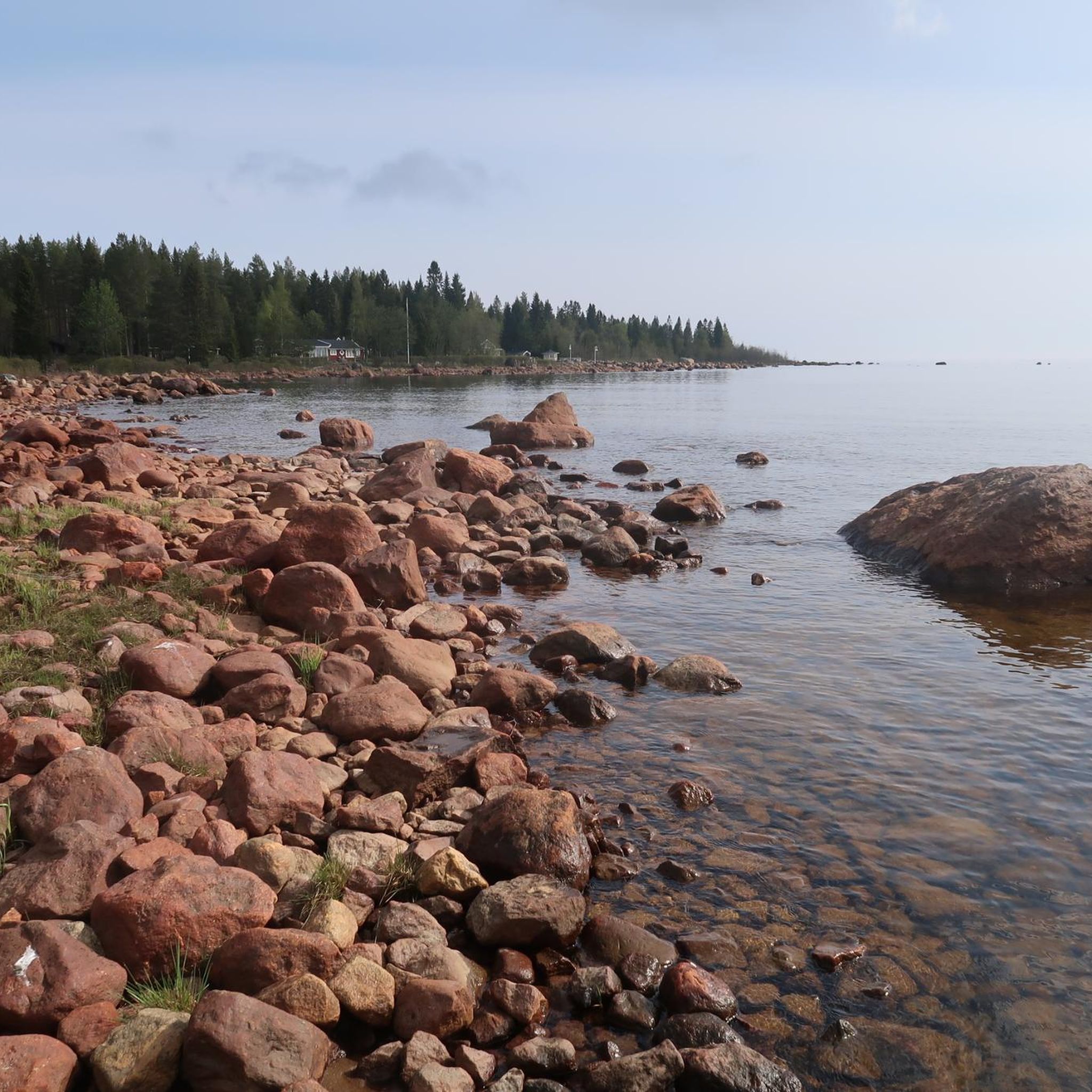
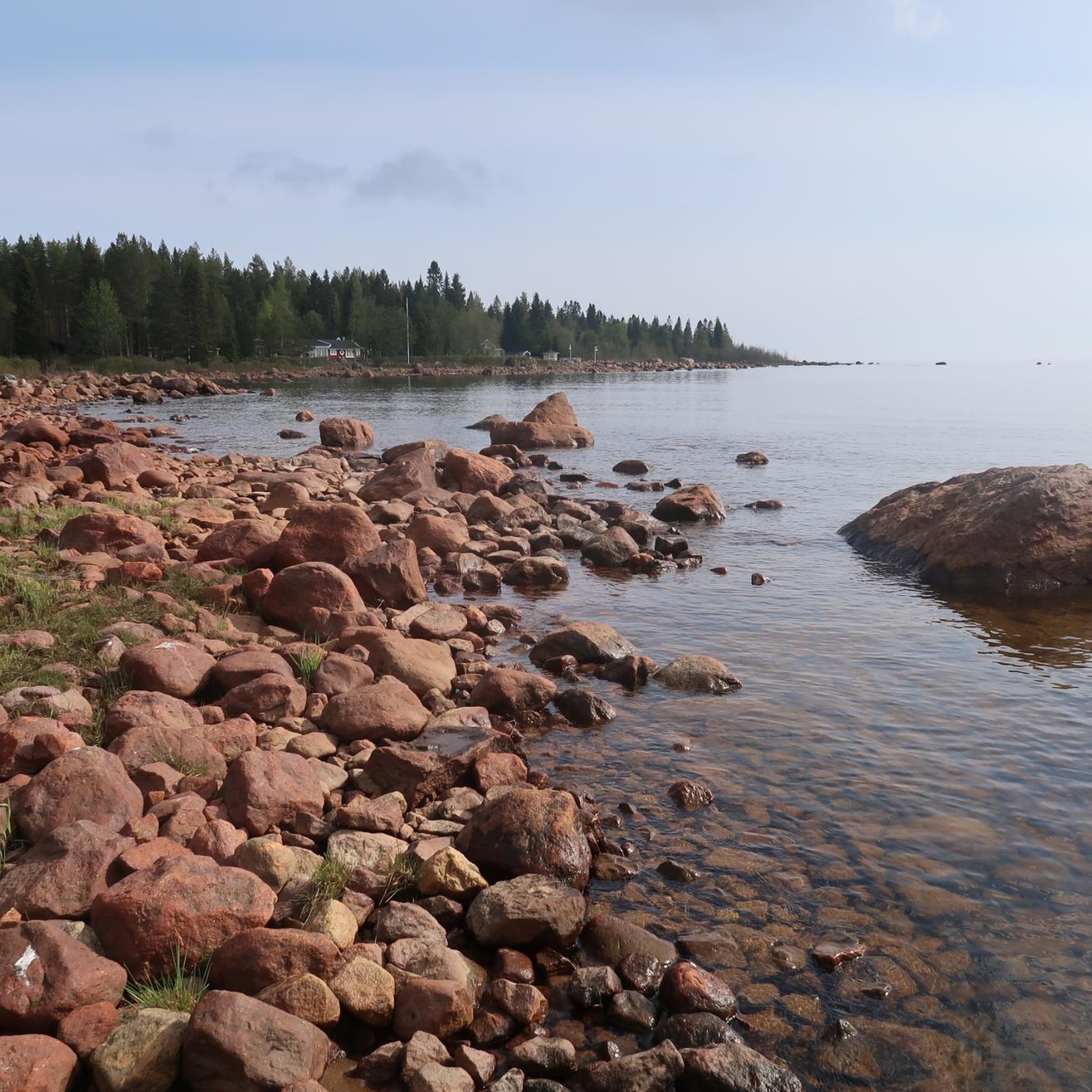
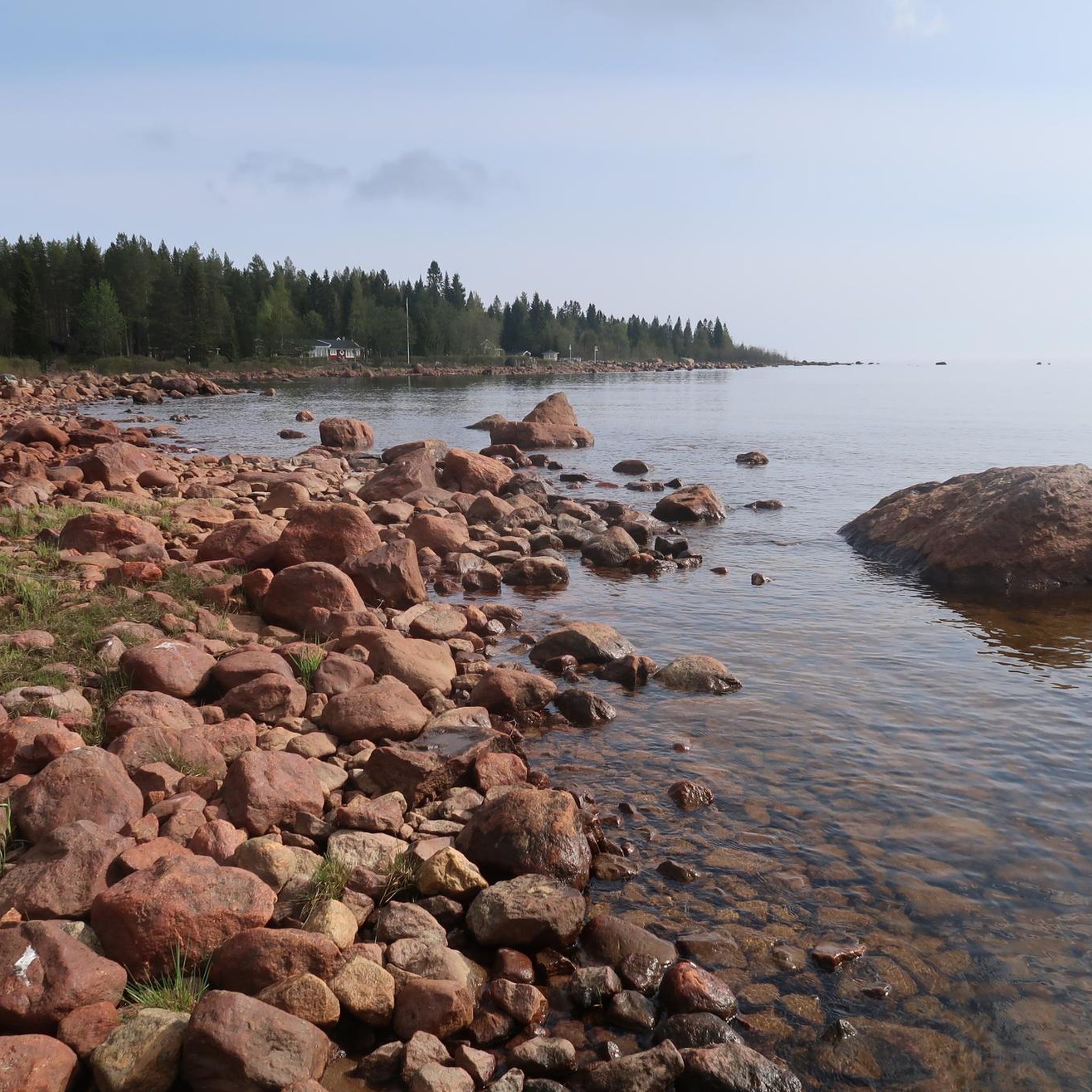
This is a wonderful spot on the northern tip of Nydalasjön with so many activities to choose from. There's a pump track, beach, water park, kayak hire and more.
0
0

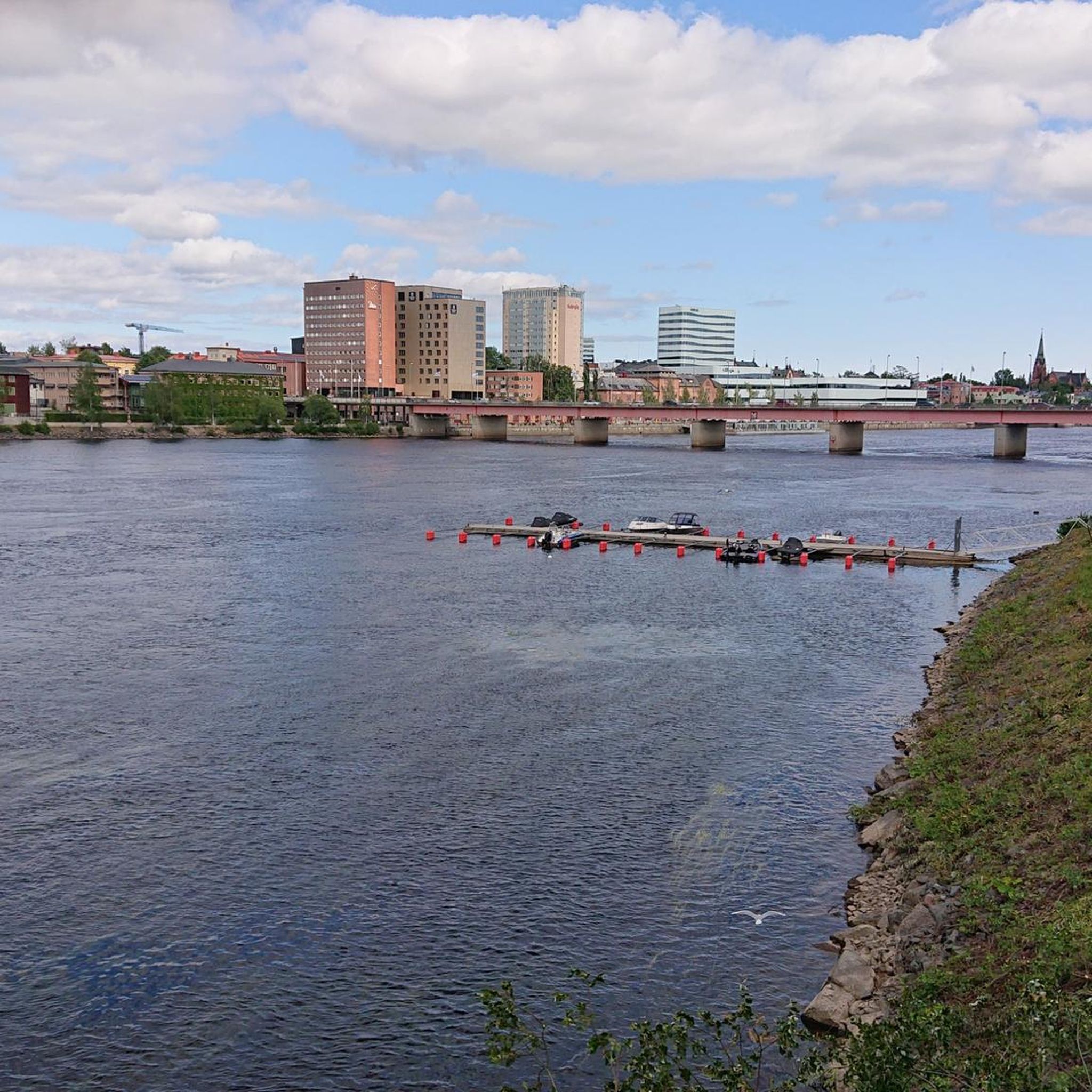
This bridge gives access to Bölesholmarna a hidden gem for those who don't want to travel far. It's quiet, peaceful, scenic and completely car-free.
0
0

Stadsliden is one of Umeå’s main outdoor areas, with a network of trails used year-round for walking, running and cross-country skiing. The terrain alternates between forest paths and prepared tracks, with gentle elevation changes around Bräntberget.
0
0


Strandpromenaden (the promenade along the Umeälven river) is the right place for those who want to discover the areas surrounding Umeå city centre. A popular walking route is to walk west from the city centre and then cross the river over the bridge Lundabron. The bridge takes you to Bölesholmarna islands and from there you can continue to the residential area Teg, located on the southern side of the river. You will get a nice walk back to the city centre across Umeå´s oldest bridge, Gamla bron, a total of about 4 km.
0
0
Like a small cathedral, the City Church of Umeå church has stood in the center, next to the river, since 1894. The church is well attended and during the year hosts various kinds of services and extensive music activities with many concerts.
0
0
Gamla bron (The old bridge) is Umeås oldest remaining bridge over Ume River in Sweden and is 301 metres long. Before Umeå had a bridge the inhabitants crossed the river using ice roads during the winter and with ferries the other seasons.
0
0

Promenade am Fluss in Umeå.
1
0
Frequently Asked Questions
How many running routes are available in Stadsliden?
Stadsliden offers an extensive network of over 180 running routes, catering to various fitness levels. You'll find a mix of easy, moderate, and challenging trails to explore.
Are there any easy running routes suitable for beginners in Stadsliden?
Yes, Stadsliden has several easy running routes perfect for beginners. For instance, the Bräntberget loop from Mariedal is an easy 4.8 km path that navigates through the spruce forest. There are 12 easy routes in total.
What are the typical lengths of running trails in Stadsliden?
The running trails in Stadsliden vary significantly in length. The area features 14 kilometers of exercise tracks, with 13 kilometers illuminated. You can find shorter loops like the 4.6 km Bräntberget loop from Umeå universitet, or longer options such as the 11 km Lundabron Bridge loop from Umeå Östra, and even the challenging 10 km 'SM-milen'.
Are there any circular running routes in Stadsliden?
Many of the running paths in Stadsliden are designed as circular routes, offering convenient starting and ending points. Examples include the Bräntberget loop from Umeå universitet and the Bräntberget loop from Mariedal, both popular circular options.
What kind of natural features can I expect to see while running in Stadsliden?
Stadsliden is characterized by its 130-200 year old spruce forest with moss-covered ground and some of Umeå's tallest trees. You'll also encounter fascinating geological formations from the Ice Age, such as distinctive parallel shore ridges and erratic boulders. Specific natural highlights include Jätteträden (Giant Trees) and the sunny, rocky outcrops of Bergknallen and Hällmarken.
Are there any viewpoints or interesting landmarks along the running routes?
Yes, Stadsliden offers several points of interest. Kvarnen (the Mill) and Bräntberget provide panoramic views over Umeå. Lidgärdan offers scenic overlooks of water bodies and marshland. Adjacent to Stadsliden, you can also find the Gammlia outdoor museum with Västerbottens Museum.
Is Stadsliden suitable for winter running?
Absolutely. In winter, 9 km of trails are specifically prepared for walking, ensuring year-round access for pedestrians without disturbing ski tracks. The 13 kilometers of illuminated tracks also make it possible to run during darker winter hours.
What do other runners enjoy most about jogging in Stadsliden?
The running routes in Stadsliden are highly rated by the komoot community, with an average score of 3.7 stars from over 30 reviews. Runners often praise the extensive network of trails, the tranquil spruce forest, and the challenging inclines that offer a great workout.
Are there any particularly challenging running trails in Stadsliden?
For ambitious runners, the 10-kilometer 'SM-milen' in the western part of Stadsliden is renowned as one of Sweden's most physically demanding running trails. It includes significant ascents, such as the Museibacken at the start, and steep climbs and descents throughout its course.
Are there facilities like outdoor gyms available in Stadsliden?
Yes, an outdoor gym with five stations is available in Stadsliden, situated where several exercise tracks converge. This provides an excellent opportunity to complement your run with strength training.
Can I find running routes that offer views of water bodies?
Yes, some routes in Stadsliden provide views of water bodies. For example, the View of Umeå City Church – Lundabron Bridge loop from Umeå Östra Station, a 13.8 km route, leads through areas with such scenic views.
What kind of surface can I expect on the running tracks?
The exercise tracks in Stadsliden primarily feature a stone dust surface, providing a firm and generally comfortable base for running. This surface is consistent across the 13 kilometers of illuminated tracks.
Most popular routes around Stadsliden

Get inspired with the komoot mobile app


Explore more
Browse the best Running Trails & Routes in other regions.
