The best mountain hikes around Schweibergerbosch
4.9
(6)
15
hikers
11
hikes
Mountaineering routes around Schweibergerbosch traverse a landscape characterized by rolling hills and river valleys within the Limburg region. The area features varied terrain, including elevated sections like the Gulperberg and paths alongside the Geul River. While not featuring high mountain peaks, the routes offer significant elevation gains suitable for mountaineering activities.
Best mountaineering routes around Schweibergerbosch
- The most popular mountaineering route is Maria Monument, Gulperberg – Virgin Mary statue loop from Gulpen-Wittem, a 6.5 miles (10.4 km) trail that…
Last updated: August 11, 2026
4.7
(3)
3
hikers
10.5km
02:53
170m
170m
Moderate mountaineering route. Good fitness required. Easily-accessible paths. Suitable for all skill levels.
2
hikers
11.4km
03:08
180m
180m
Moderate mountaineering route. Good fitness required. Easily-accessible paths. Suitable for all skill levels.

Sign up for free
5.31km
01:27
80m
80m
Easy mountaineering route. Great for any fitness level. Easily-accessible paths. Suitable for all skill levels.
5.0
(1)
1
hikers
10.9km
02:56
140m
140m
Moderate mountaineering route. Good fitness required. Easily-accessible paths. Suitable for all skill levels.
5.0
(2)
4
hikers
15.9km
04:27
300m
300m
Moderate mountaineering route. Good fitness required. Easily-accessible paths. Suitable for all skill levels.
Get access to more routes and recommendations from other explorers.
Sign up for free
Already have an account?
Our route recommendations are based on thousands of hikes, rides, and runs completed by other people on komoot.
Start today with a free account
Your next adventure awaits.
Login or Signup
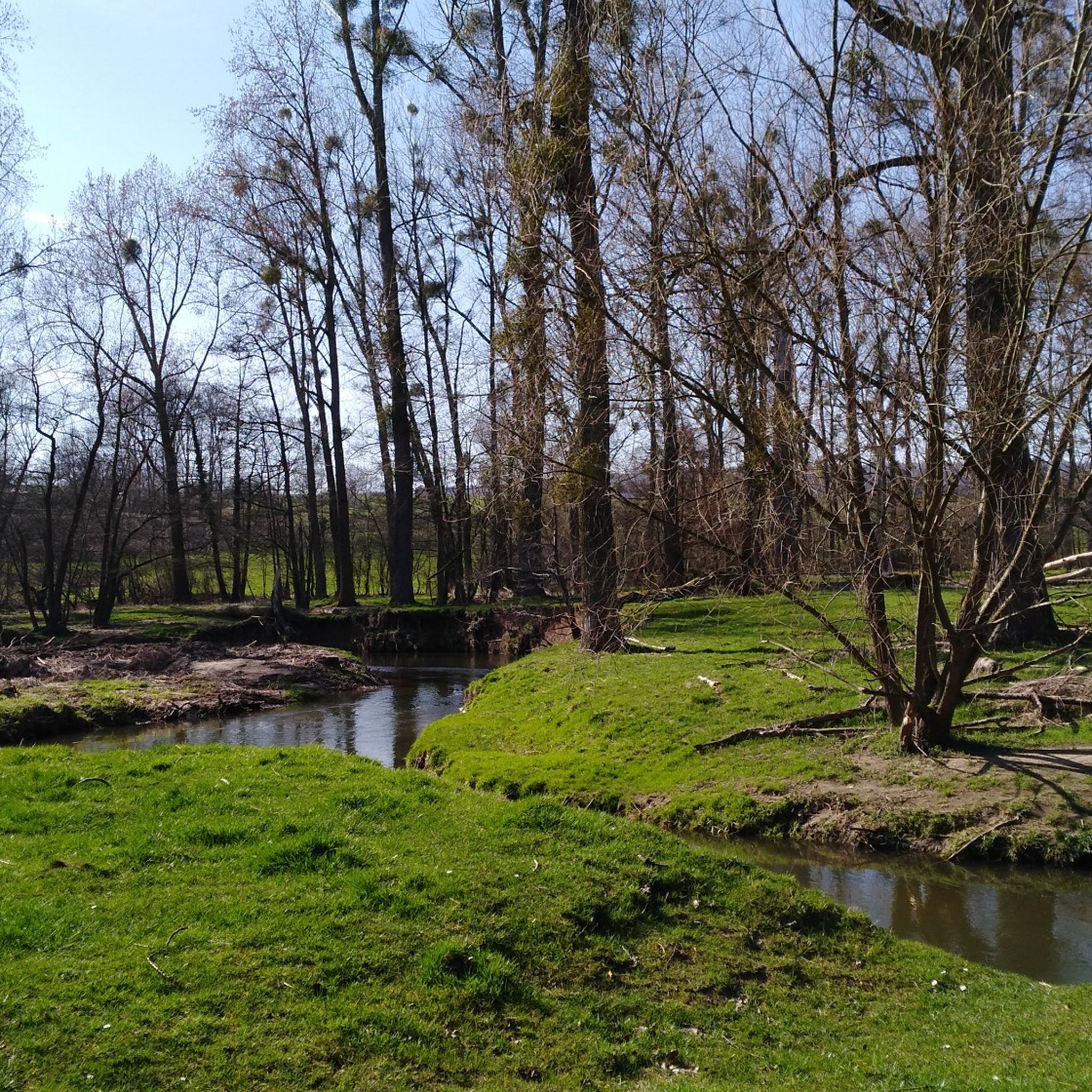
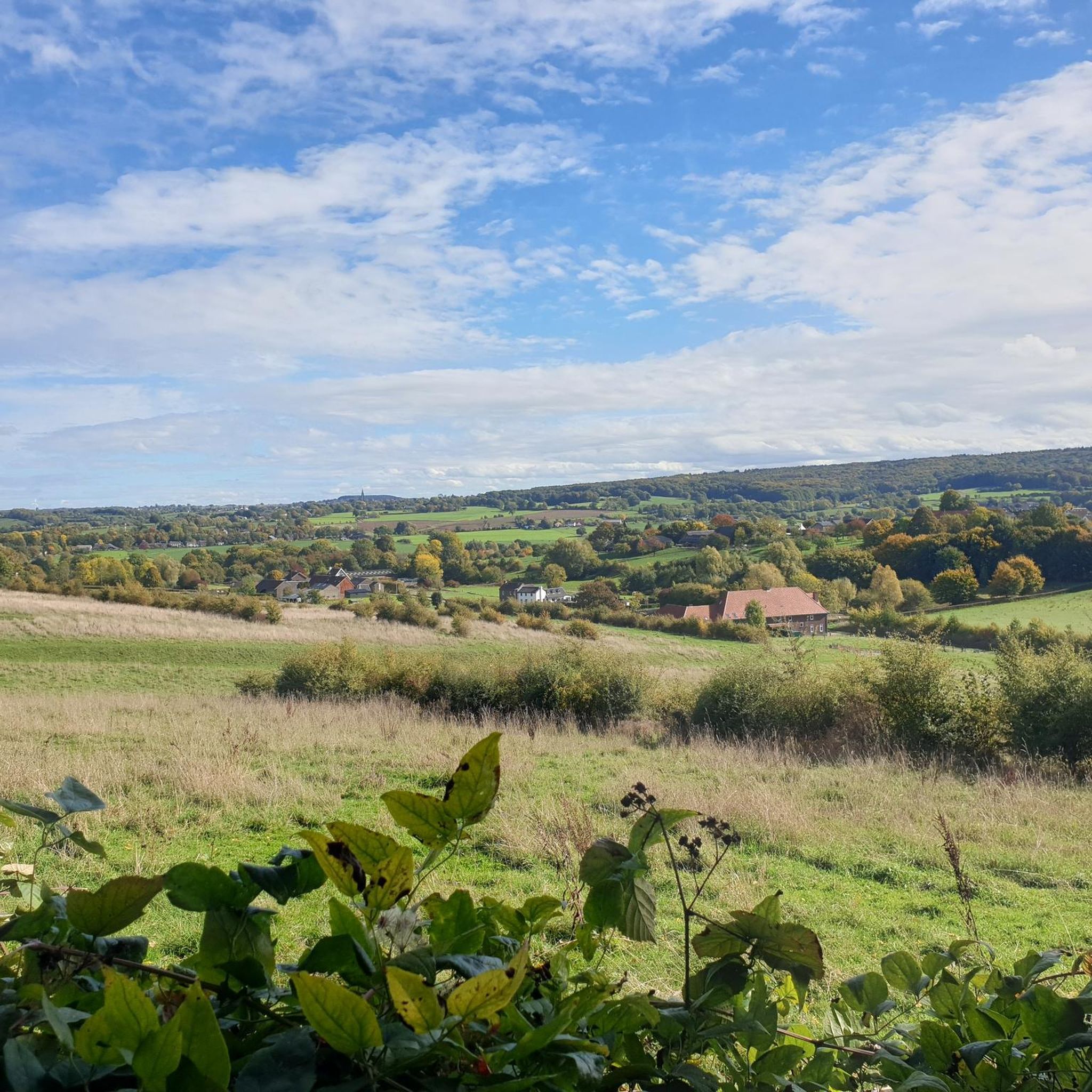

Tips from the Community

As early as 1834, a mission cross was placed on the Gulperberg and processions were held here annually. In 1935, the Maria monument was erected on the hilltop. The monument as a whole is approximately 13 meters high. The pedestal is 10 meters high and was designed by sculptor-architect Piet Gerrits. The square base is decorated on all sides with wide cross-shaped mosaics depicting the role of Mary in salvation history. On top of the pedestal, a statue of the crowned Virgin Mary is placed. Mary (without the child Jesus) spreads her hands in a blessing gesture. The approximately 3-meter-high statue of white concrete is a design by the Maastricht sculptor Charles Vos.
3
0
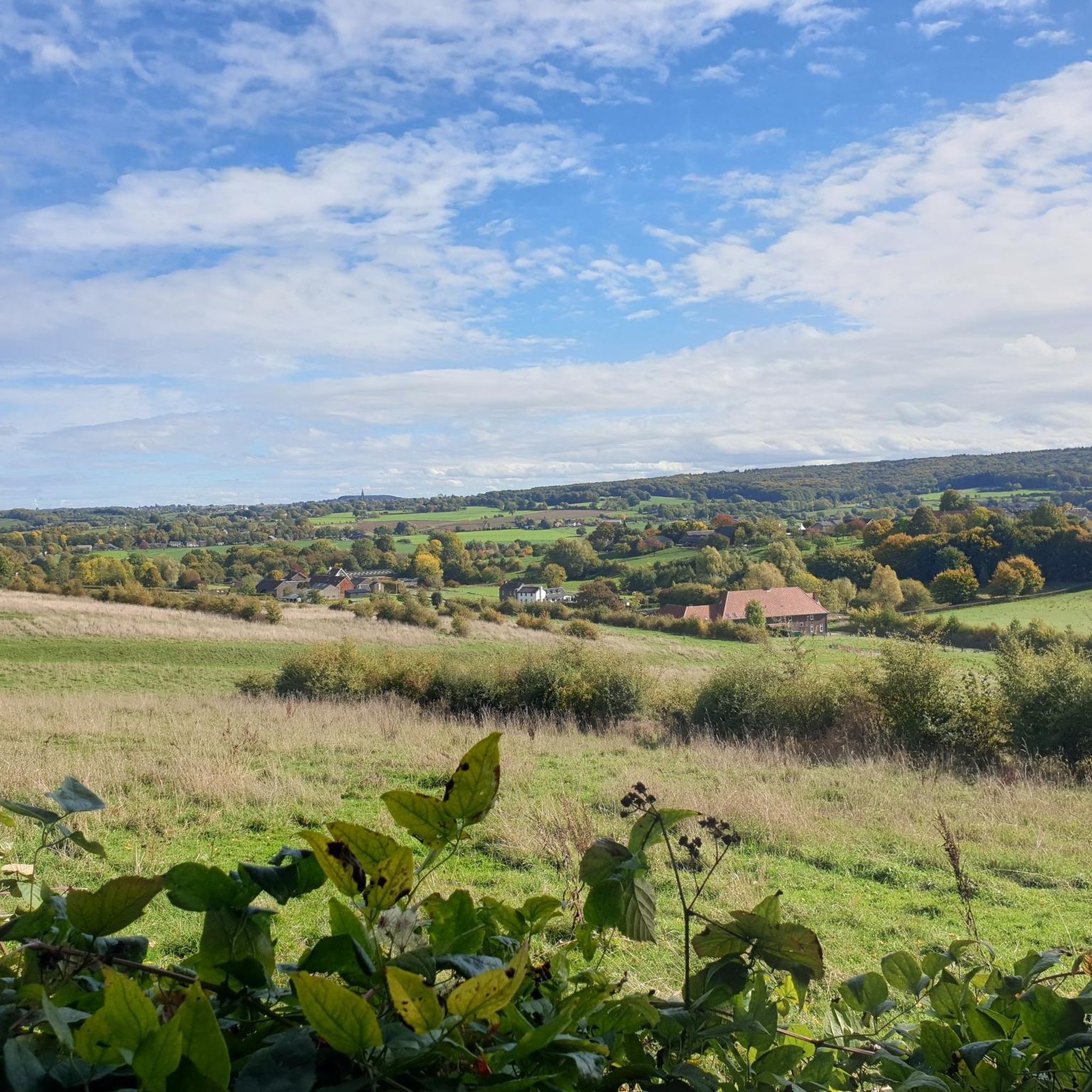
The Gulperberg is the northernmost spur of the Crapoel plateau and, at 157m, offers a magnificent, almost 360° view over the Geuldal in the east and the Gulpdal in the west. The two rivers meet in Gulpen.
3
0
The path goes up to the top of the Gulperberg. As a hiker, this is a nice alternative to avoid traffic on the winding road upwards. It is a short but tough climb.
3
0

A steep climb leads up the mountain. The view makes up for it.
1
0
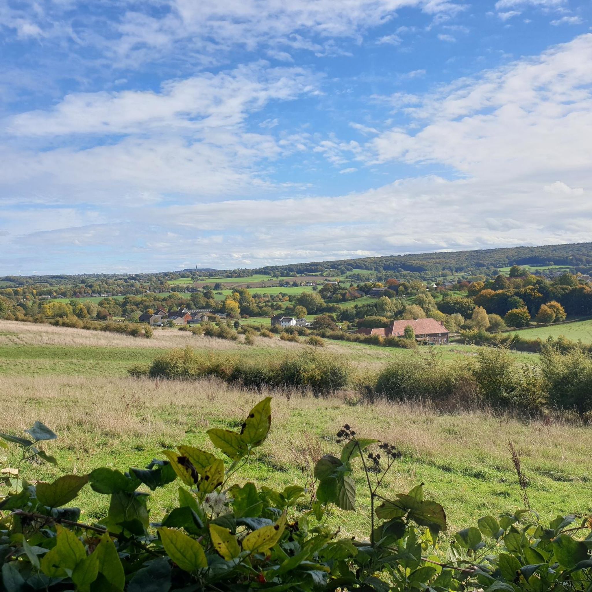
A steep climb leads up the mountain. The view makes up for it.
1
0
A nice marketplace with many opportunities for a break.
1
0

The rock formations historically originate from the Meno valley and are approx. 2 million years old
4
0

A pleasant tourist resort in the Heuvelland region with good infrastructure (supermarkets and many restaurants)
1
0
Frequently Asked Questions
How many mountaineering routes are available around Schweibergerbosch?
There are 11 mountaineering routes around Schweibergerbosch, offering a variety of experiences for different skill levels. You'll find 3 easy routes, 7 moderate routes, and 1 challenging option.
Are there any easy mountaineering routes suitable for beginners or families?
Yes, Schweibergerbosch offers easy mountaineering routes. One excellent option is the Maria Monument, Gulperberg – Virgin Mary statue loop from Gulpen, which is 3.3 miles (5.3 km) long and features a gentle elevation gain, making it suitable for a relaxed outing.
What kind of terrain can I expect on mountaineering routes in Schweibergerbosch?
The mountaineering routes around Schweibergerbosch are characterized by rolling hills, picturesque river valleys, and woodlands. While there are no high mountain peaks, the trails offer significant elevation gains, providing a true mountaineering feel within the Limburg region's unique landscape.
Are there any circular mountaineering routes in the area?
Many routes around Schweibergerbosch are circular. For example, the popular Maria Monument, Gulperberg – Virgin Mary statue loop from Gulpen-Wittem is a 6.5-mile (10.4 km) loop that takes you through scenic views and past a notable monument. Another option is the Wittem Castle – River Geul loop from Mechelen, covering 6.8 miles (10.9 km) along the Geul River.
What are some notable landmarks or viewpoints along the mountaineering trails?
Along the mountaineering trails, you can discover several interesting points. The Mediterranean Eyser Heuvelrug offers distinct landscapes, and you'll find various spots like the View of the Limburg Hills and Beautiful Rolling Landscape that provide stunning vistas of the region.
What do other mountaineers say about the routes in Schweibergerbosch?
The mountaineering routes in Schweibergerbosch are highly regarded by the komoot community, holding an impressive average rating of 4.8 out of 5 stars. Users frequently praise the varied terrain, the scenic beauty of the rolling hills and river valleys, and the well-maintained paths that make for an enjoyable experience.
Are there any routes that offer a significant climb?
Yes, if you're looking for a route with a notable climb, consider the Gulperberg Climb from Partij – The Mediterranean Eyser Heuvelrug loop from Gulpen-Wittem. This moderate 6.9-mile (11.1 km) path includes a substantial ascent up the Gulperberg, offering a good workout and rewarding views.
Can I find routes that follow a river?
Absolutely. The region features the Geul River, and several routes incorporate its banks. The The Geul River and Surroundings – View of Vijlen loop from Epen is a great choice, leading you through river valleys and offering views towards Vijlen over 9.9 miles (15.9 km).
What is the longest mountaineering route available?
The longest mountaineering route listed is The Geul River and Surroundings – View of Vijlen loop from Epen. This trail spans 9.9 miles (15.9 km) and typically takes around 4 hours and 26 minutes to complete, offering an extended exploration of the area's natural beauty.
Are there any facilities or rest spots along the trails?
While specific facilities vary by route, you can find designated rest spots. For instance, the Rest spot with medals is one such highlight where you can take a break and enjoy the surroundings.
What is the typical elevation gain on these mountaineering routes?
The elevation gains on routes around Schweibergerbosch vary, but even moderate trails offer significant climbs. For example, the Maria Monument, Gulperberg – Virgin Mary statue loop from Gulpen-Wittem has an elevation gain of approximately 175 meters (574 feet), providing a good challenge for mountaineers.
Most popular routes around Schweibergerbosch
Most popular attractions around Schweibergerbosch

Get inspired with the komoot mobile app


Explore more
Browse the best Mountain Hikes & Routes in other regions.
