The best road cycling routes around Sørmarka
4.5
(46)
3,213
riders
118
rides
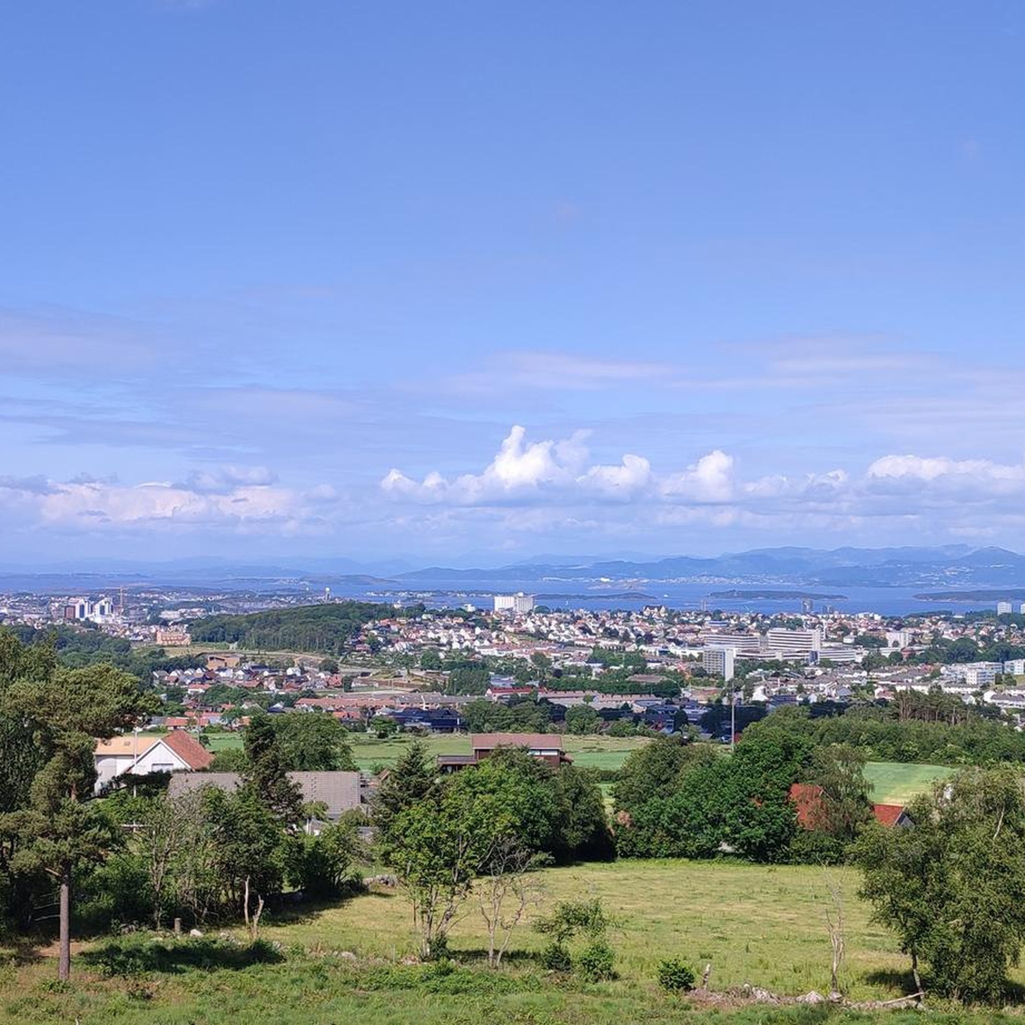
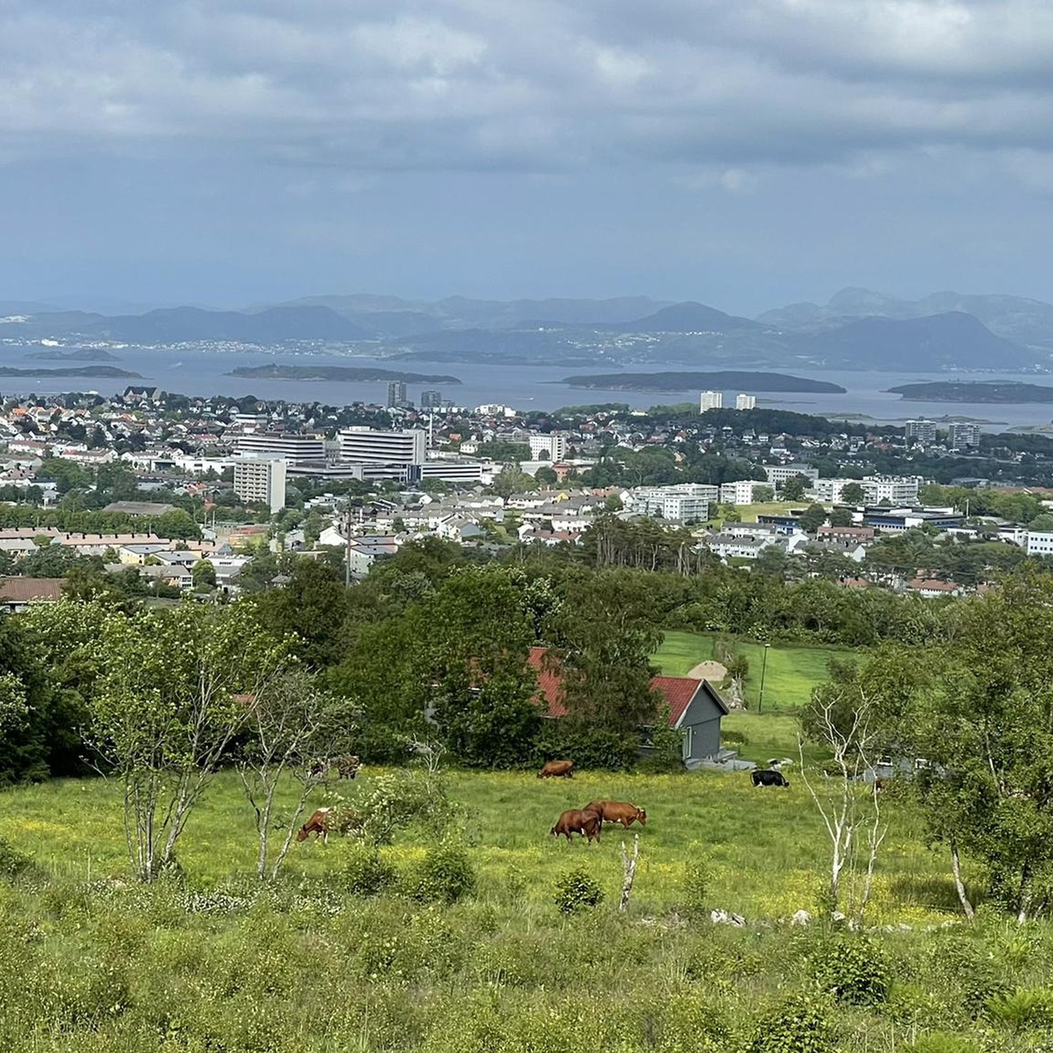
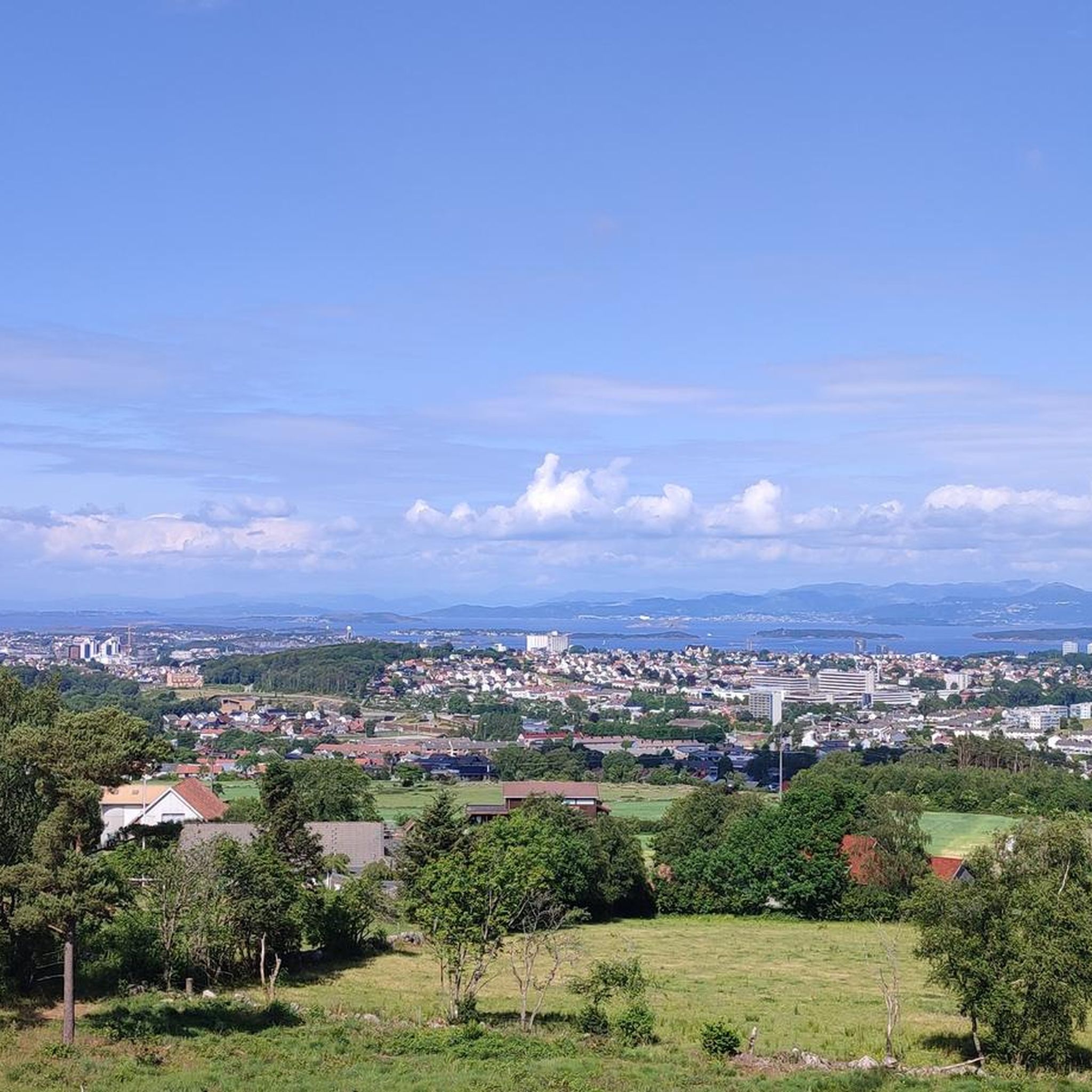
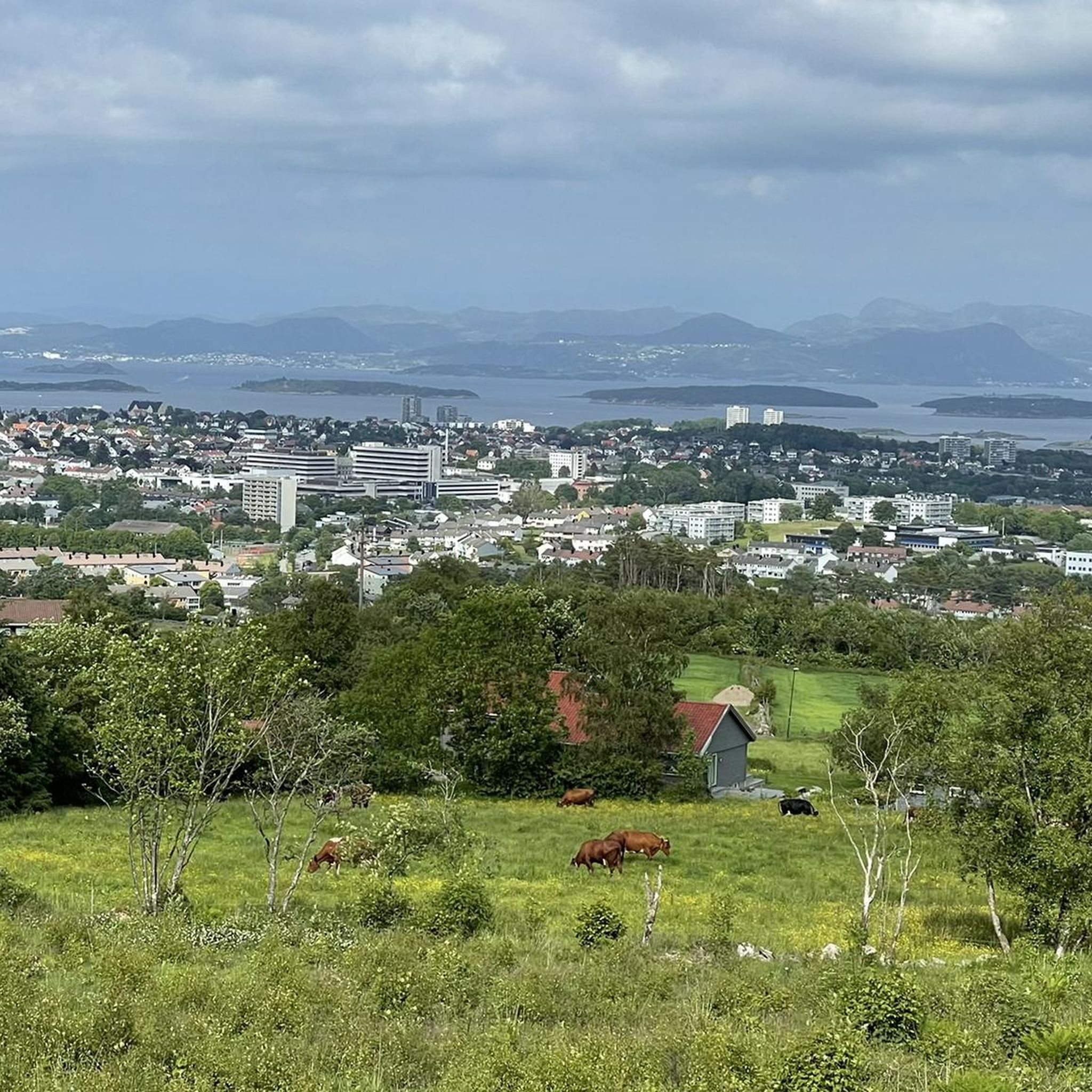
Road cycling around Sørmarka, located south of Stavanger city center, offers a diverse landscape for outdoor activities. The area spans approximately 1,500 acres, featuring a mix of dense woodlands, open fields, and agricultural land. Cyclists can navigate both paved and gravel surfaces, with routes leading to elevated points like Ullandhaug (139 meters) and Hinnaberget (112 meters). This varied terrain provides options for different skill levels and preferences, from smoother rides to more challenging routes with elevation gain.
Best road cycling…
Last updated: June 29, 2026
4.6
(5)
125
riders
65.4km
03:02
670m
670m
Moderate road ride. Good fitness required. Mostly well-paved surfaces and easy to ride.
3.0
(1)
76
riders
90.0km
03:48
580m
580m
Moderate road ride. Good fitness required. Mostly well-paved surfaces and easy to ride.

Sign up for free
8
riders
16.7km
00:46
90m
90m
Easy road ride. Great for any fitness level. Mostly well-paved surfaces and easy to ride.
5
riders
74.3km
03:16
560m
560m
Moderate road ride. Good fitness required. Mostly well-paved surfaces and easy to ride.
7
riders
29.0km
01:27
200m
200m
Easy road ride. Great for any fitness level. Mostly well-paved surfaces and easy to ride.
Get access to more routes and recommendations from other explorers.
Sign up for free
Already have an account?
Our route recommendations are based on thousands of hikes, rides, and runs completed by other people on komoot.
Start today with a free account
Your next adventure awaits.
Login or Signup
Tips from the Community

Planetstien turns your hike through Sandvedparken into a journey through the solar system. Stretching along the Storåna river, this 1:1 billion scale model starts with the Sun near Sandnes center and ends with Pluto towards Ganddal. It is a flat, easy gravel path suitable for cycling and walking. As you travel the green corridor, you pass sculptures representing each planet at their relative distances.
0
0

Like a small, free-access eco-museum, here you can discover different types of traditional Norwegian cabins.
0
0

Here you will find a bench overlooking the river, ideal for a rest stop. At the edge of the terrace, you can see the fast-flowing waters of the Figgjo River, while all around, the trees are painted in the typical colors of the season; the paved path is comfortable for walking.
0
0

Sverd i fjell 1983 to commemorate the Battle at Hafrsfjord, which took place around the year 872 AD. The monument was designed by the sculptor Fritz Røed. It is modelled on three Viking swords ds found tour at different local ocations in Norway. The swords have been placed in the bedrock.
0
0

Here at Hafrsfjord is the royal monument Sverd i fjell (Swords in the Rock). History tells that Harald Fairhair united Norway into a kingdom here in 872. If the tradition is correct, Harald I received the nickname Fairhair because he only had his hair and beard cut again after defeating the other rulers. The monument consists of three swords stuck in the ground, symbolizing peace, unity, and freedom. The hilts of the Viking swords are modeled after sword finds from various parts of Norway. The monument was designed by Fritz Røed (1928-2002) and inaugurated by King Olav in 1983. (Height of the middle sword = 9.2 m) Source: www.visitnorway.de Anyone interested in the history of Harald I is highly recommended to visit Avaldsnes.
0
0

What a wonderful church! Unfortunately, it was closed, but a visit here is a must!
0
0
Beautiful shallow water can be found here… perfect for families with small children.
0
0
Frequently Asked Questions
What types of road cycling routes can I find in Sørmarka?
Sørmarka offers a diverse range of road cycling routes, including both paved and gravel sections. This allows for varied experiences, from smoother rides on asphalt to more adventurous routes incorporating gravel. You'll find options suitable for different skill levels, from easier loops to more challenging rides with significant elevation gain.
Are there challenging road cycling routes with significant elevation in Sørmarka?
Yes, Sørmarka features routes with notable elevation gain. For instance, you can find routes that lead to elevated points like Ullandhaug (139 meters) and Hinnaberget (112 meters), offering rewarding climbs and panoramic views. A more difficult option is the View of Jøsenfjorden – Fjord views loop from Jåttåvågen, which includes over 1100 meters of elevation gain.
How can I reach Sørmarka using public transport with my road bike?
Sørmarka is well-integrated with the local transportation network. While specific rules for bikes on buses and trains in Stavanger (Kolumbus) should be checked directly with the operator, the area encourages visitors to use public transport to reach the starting points of routes. Many routes, like the Fjord views – Sandnes Harbor loop from Jåttåvågen, start from Jåttåvågen, which is accessible by public transport.
Where can I park my car if I drive to Sørmarka for road cycling?
There is parking available for those who choose to drive to Sørmarka. The area is designed to be accessible, and parking facilities are provided to accommodate visitors, making it convenient to start your road cycling adventure.
What is the best time of year for road cycling in Sørmarka?
The diverse landscape of Sørmarka can be enjoyed throughout much of the year. While specific conditions vary, the area's mix of woodlands, open fields, and coastal views makes it appealing in spring, summer, and autumn. For winter cycling, it's advisable to check local conditions as some routes might be affected by weather.
Are there any family-friendly road cycling routes in Sørmarka?
Sørmarka offers routes suitable for various ability levels, including easier loops that can be enjoyed by families. The varied terrain, with both paved sections and scenic views, allows for less strenuous rides. While specific 'family-friendly' routes are not explicitly detailed, the presence of easier loops suggests options for a more relaxed pace.
What kind of scenic views can I expect on road cycling routes in Sørmarka?
Road cycling in Sørmarka offers a variety of scenic views. You can expect expansive fjord views, varied coastal scenery, and stretches through open landscapes. Routes also traverse dense woodlands, agricultural land, and residential areas, providing a blend of natural beauty and local charm. Elevated points like Ullandhaug offer panoramic vistas of Stavanger and the surrounding areas.
Are there any circular road cycling routes available in Sørmarka?
Yes, many of the road cycling routes in Sørmarka are designed as loops, allowing you to start and end your ride at the same point. Examples include the Solastranden Beach – Sola Beach loop from Jåttåvågen and the Chapeau Sandnes – Planetstien loop from Jåttåvågen, providing convenient options for exploration.
What do other road cyclists say about the routes in Sørmarka?
The road cycling routes in Sørmarka are highly regarded by the komoot community, with an average rating of 4.5 stars from over 30 reviews. Cyclists often praise the varied terrain, the mix of woodlands and open fields, and the rewarding views from hills like Ullandhaug. Over 3000 road cyclists have used komoot to explore the area, indicating its popularity.
Are there any cafes, pubs, or accommodation options near the road cycling routes in Sørmarka?
Sørmarka is located approximately 4 km south of Stavanger city center, which offers a wide range of cafes, pubs, and accommodation options. As you cycle through the area, you'll also pass through residential and agricultural lands, suggesting local amenities might be accessible. For specific recommendations, exploring the areas surrounding Sørmarka, especially towards Stavanger or Sandnes, would be beneficial.
What is the typical distance for road cycling routes in Sørmarka?
The road cycling routes in Sørmarka vary significantly in distance, catering to different preferences and fitness levels. You can find routes ranging from shorter loops, such as the Chapeau Sandnes – Planetstien loop from Jåttåvågen at around 41 km, to longer excursions like the Solastranden Beach – Sola Beach loop from Jåttåvågen, which covers over 90 km.
Are there any permits required for road cycling in Sørmarka?
Based on available information, there are no specific permits mentioned as being required for road cycling within the Sørmarka recreation area. It is generally open for public use, but always respect local regulations and private property signage.
Most popular routes around Sørmarka

Get inspired with the komoot mobile app


Explore more
Browse the best Road cycling routes in other regions.
