The best road cycling routes around Okoboji
4.5
(2)
111
riders
7
rides
Road cycling around Okoboji is characterized by its unique chain of interconnected glacial lakes and extensive paved trail systems. The region features rolling hills, lush woods, and remnants of prairie grasslands, providing diverse scenery for cyclists. West Lake Okoboji, Iowa's deepest natural lake, contributes to the area's clear waters and picturesque shorelines. Over 40 miles of paved trails connect the lake region, offering varied routes for different skill levels.
Best road cycling routes around Okoboji
- The most popular road cycling…
Last updated: July 2, 2026
37
riders
28.6km
01:18
140m
140m
Easy road ride. Great for any fitness level. Mostly well-paved surfaces and easy to ride.
40
riders
32.7km
01:31
160m
160m
Easy road ride. Great for any fitness level. Mostly well-paved surfaces and easy to ride.

Sign up for free
5.0
(1)
17
riders
58.3km
02:41
240m
240m
This moderate 36.3-mile (58.3 km) road cycling route, typically taking about 2 hours and 41 minutes, offers a journey through the diverse landscapes of Iowa's Great Lakes region. You'll experience…
4.0
(1)
7
riders
25.9km
01:15
90m
90m
Easy road ride. Great for any fitness level. Mostly well-paved surfaces and easy to ride.
4
riders
28.2km
01:21
120m
120m
The West Okoboji Lake – Omaha Beach loop from Arnolds Park is a fantastic option for an easy road cycling adventure, offering continuous beautiful views of the clear, glacier-carved West…
Get access to more routes and recommendations from other explorers.
Sign up for free
Already have an account?
Our route recommendations are based on thousands of hikes, rides, and runs completed by other people on komoot.
Start today with a free account
Your next adventure awaits.
Login or Signup
Popular around Okoboji
Tips from the Community

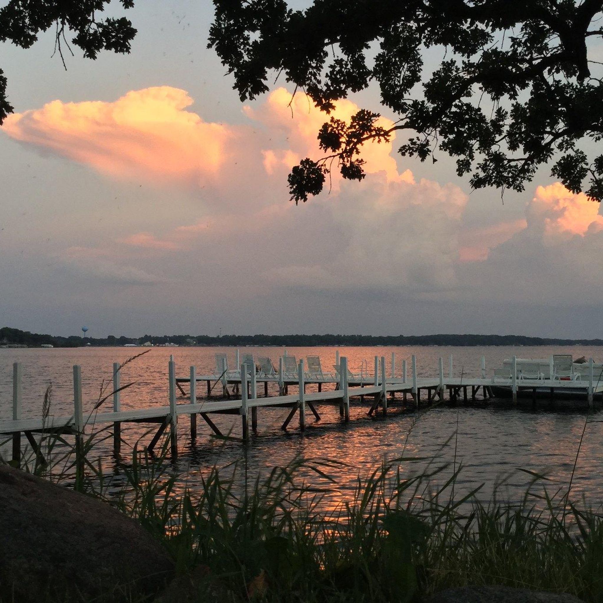
Omaha Beach is an attractive spot on the shores of West Okojobi Lake. This 3,847-acre lake is a part of Iowa Great Lakes and is one of three blue lakes in the entire world.
0
0

West Okojobi Lake is a 3,847-acre lake that is part of the chain of lakes known as the Iowa Great Lakes. This lake is one of three blue lakes in the entire world. A blue lake is a lake created by glacial movements retreating north.
0
0

Pillsbury Point State Park is an urban park and Iowa's smallest state park. Historically, this area was where the Spirit Lake Massacre took place. Today, it has paved residential roads running close to the water and through the woods, and it is a relaxing place to go for a ride.
0
0
Frequently Asked Questions
What kind of terrain can I expect on road cycling routes in Okoboji?
Okoboji's road cycling routes feature a mix of rolling hills, lush woods, and remnants of prairie grasslands. The area is known for its extensive paved trail system that winds along the edges of interconnected glacial lakes, offering diverse scenery and generally moderate elevation changes.
Are there any family-friendly road cycling routes in Okoboji?
Yes, Okoboji offers several family-friendly road cycling options, particularly on its extensive paved trail network. Routes like the Pillsbury Point State Park loop from Spirit Lake are classified as easy and provide a pleasant ride through the lake area, suitable for a relaxed outing with family.
What natural features or landmarks can I see along the road cycling routes?
Road cycling routes in Okoboji often provide stunning views of the glacial lakes, including West Lake Okoboji, Iowa's deepest natural lake. You'll also pass through areas with lush woods and prairie grasslands. Parks like Gull Point State Park are accessible and offer opportunities to observe wildlife and native plants.
What is the best time of year for road cycling in Okoboji?
The best time for road cycling in Okoboji is typically during the warmer months, from spring through fall, when the weather is pleasant and the trails are clear. The region hosts cycling events like the 'University of Okoboji Campus Classic' during these seasons, indicating ideal conditions.
Are there any loop trails for road cyclists in Okoboji?
Yes, many of Okoboji's road cycling routes are designed as loops, allowing you to start and end in the same location. A popular option is the West Lake Okoboji – Pillsbury Point State Park loop from Arnolds Park, which offers scenic views along West Lake Okoboji.
Where can I find parking for road cycling routes in Okoboji?
While specific parking locations for each route aren't detailed, the extensive trail system connecting the lakes region and surrounding towns suggests numerous access points. State parks and public access areas around the lakes typically offer parking facilities for visitors.
How many road cycling routes are available in Okoboji?
There are at least 8 distinct road cycling routes detailed for the Okoboji area, ranging in difficulty from easy to moderate. These routes utilize the region's over 40 miles of paved trails.
What do other road cyclists enjoy most about cycling in Okoboji?
The road cycling experience in Okoboji is highly rated by the komoot community, with an average score of 5.0 stars. Cyclists often praise the picturesque views of the glacial lakes, the well-maintained paved trail system, and the diverse scenery that includes woods and prairie grasslands.
Are there any longer road cycling routes for more experienced riders?
For those seeking a longer ride, the Pillsbury Point State Park loop from Milford Creek is a moderate 36.2-mile (58.3 km) trail that leads through the wider Okoboji lake region, offering a more extended cycling experience.
Can I find cafes or places to stop for refreshments along the routes?
The Okoboji region is a popular tourist destination with towns like Arnolds Park, Spirit Lake, and Milford located along or near the cycling trails. These towns offer various amenities, including cafes and restaurants, making it easy to find refreshment stops during your ride.
What is the difficulty level of road cycling in Okoboji?
Road cycling routes in Okoboji are generally classified as easy to moderate. The terrain features rolling hills rather than steep climbs, making it accessible for a wide range of cyclists. For example, the Omaha Beach – Gull Point State Park loop from Dickinson County is a moderate route, while the West Okoboji Lake – Omaha Beach loop from Arnolds Park is an easy option.
Is the Okoboji trail system suitable for all types of road bikes?
Yes, the extensive network of over 40 miles of paved trails in Okoboji is well-suited for all types of road bikes. The smooth surfaces and varied routes accommodate everything from standard road bikes to e-bikes, with local bike shops offering support and rentals.
Most popular routes around Okoboji

Get inspired with the komoot mobile app


Explore more
Browse the best Road cycling routes in other regions.
