The best walks and hikes around Ardmolich Wood
4.6
(116)
729
hikers
15
hikes
Hiking around Ardmolich Wood is characterized by routes through mature conifer forests and onto rocky hillsides. The area, located in Moidart, features a mix of spruce forestry and sections of native Atlantic Oakwood. Many trails offer views across Loch Moidart.
Best hiking trails around Ardmolich Wood
- The most popular hiking route is Silver Walk loop from Acharacle, a 7.6 miles (12.2 km) trail that takes about 3 hours 28 minutes to complete. This route provides a comprehensive experience of the area's varied landscape.
- Another top favourite among local hiking enthusiasts is Silver Walk and Castle Tioram loop, an easy 3.9 miles (6.2 km) path. This shorter hike combines woodland walking with historical points of interest.
- Local hiking enthusiasts also love the Drynie Wood loop from Acharacle, a 6.3 miles (10.1 km) trail leading through mixed woodland, often completed in about 2 hours 49 minutes.
- Hiking around Ardmolich Wood is defined by rocky wooded hills, paths along the shores of Loch Moidart, and trails through mixed conifer and oak forests. The network of 18 routes offers options for different ability levels, with both easy and moderate hikes available.
- The routes in Ardmolich Wood are highly rated by the komoot community with an average score of 4.5 stars from more than 90 reviews. More than 600 hikers have used komoot to explore Ardmolich Wood's varied terrain.
Last updated: September 28, 2026
5.0
(1)
15
hikers
12.6km
03:35
290m
290m
Moderate hike. Good fitness required. Easily-accessible paths. Suitable for all skill levels.
1
hikers
9.45km
02:39
190m
190m
Moderate hike. Good fitness required. Easily-accessible paths. Suitable for all skill levels.

1
hikers
10.2km
02:50
200m
190m
Moderate hike. Good fitness required. Easily-accessible paths. Suitable for all skill levels.
4.8
(55)
292
hikers
6.25km
01:51
180m
170m
Easy hike. Great for any fitness level. Easily-accessible paths. Suitable for all skill levels.
4.9
(9)
55
hikers
9.87km
02:47
190m
190m
Moderate hike. Good fitness required. Easily-accessible paths. Suitable for all skill levels.
Get access to more routes and recommendations from other explorers.
Already have an account?
Our route recommendations are based on thousands of hikes, rides, and runs completed by other people on komoot.
Start today with a free account
Your next adventure awaits.
Popular around Ardmolich Wood
Tips from the Community

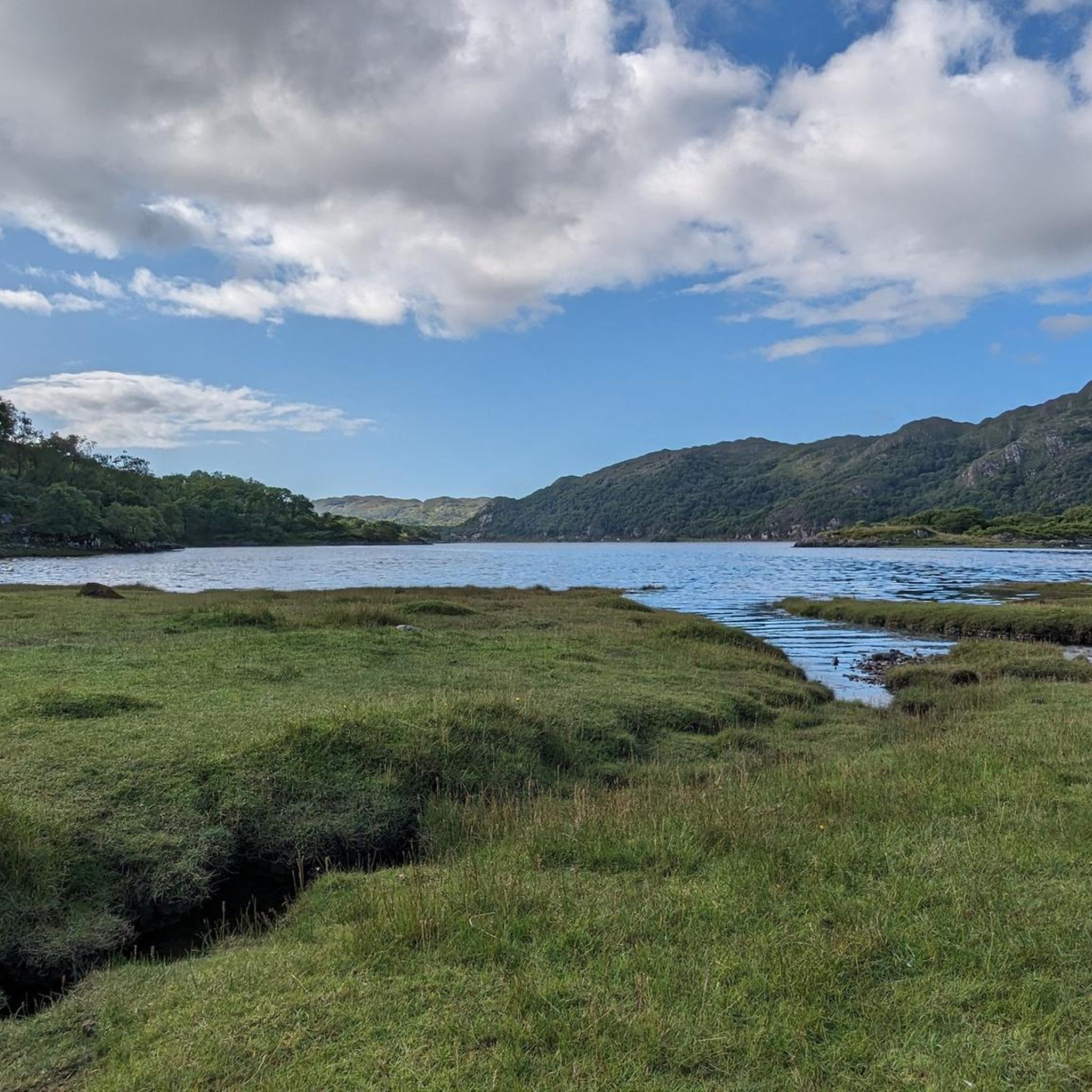
Magnificent views, but the path is narrow, sometimes overhanging the sea, sometimes flooded. Avoid with young children or in bad weather.
0
0

The gorgeous River Sheil runs 3 miles through attractive low ground farming and crofting countryside on the Ardnamurchan peninsula in the Scottish Highlands. At this particular spot, a single-arched stone bridge built in 1804 spans over the river, creating a picturesque scene as you pass by.
0
0

If you spend any time at all in the hills above Loch Shiel, you’ll find cairns that mark the places where coffins (and their carriers) once rested on what were once known as coffin roads. These three are marked on Ornance Survey maps as “Captain Robertson’s Cairns.” When Captain WJ Robertson of Kinlochmoidart died in 1869, his body was carried along this route, taken down to the water, and rowed by boat, to be buried on St Finan’s isle. https://www.komoot.de/highlight/901235 These three cairns don’t just represent one human, though, but the countless inhabitants of this landscape who were once carried, mourned, and laid to rest on the burial island in the loch. Highland parishes once covered huge areas, with relatively few spots consecrated for burial, and bodies were, by necessity, carried long distances over what was (and remains) very difficult terrain. It is no wonder that so many cairns and placenames in this part of the world (for example, Corpach / A’ Chorpaich / field of corpses) commemorate the temporary resting places of mourners and bodies on the coffin roads. - https://kddandco.com/2021/12/06/loch-shiel - https://her.highland.gov.uk/monument/MHG53547 - https://canmore.org.uk/site/332480/captain-robertsons-cairns
0
0
Old bridge over the River Moidart - for cyclists and pedestrians only - next to a narrow car bridge.
0
0

As you walk through the Bealach (pass), leaving the Lochans behind you suddenly have stunning views across the sea towards the Isles of Eigg, Muck and Coll. If the weather is not so clear this viewpoint above the Lochans is also delightful.
2
0
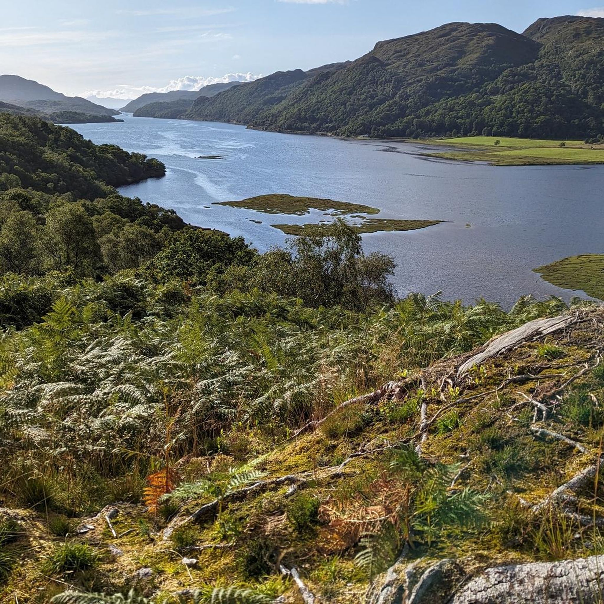
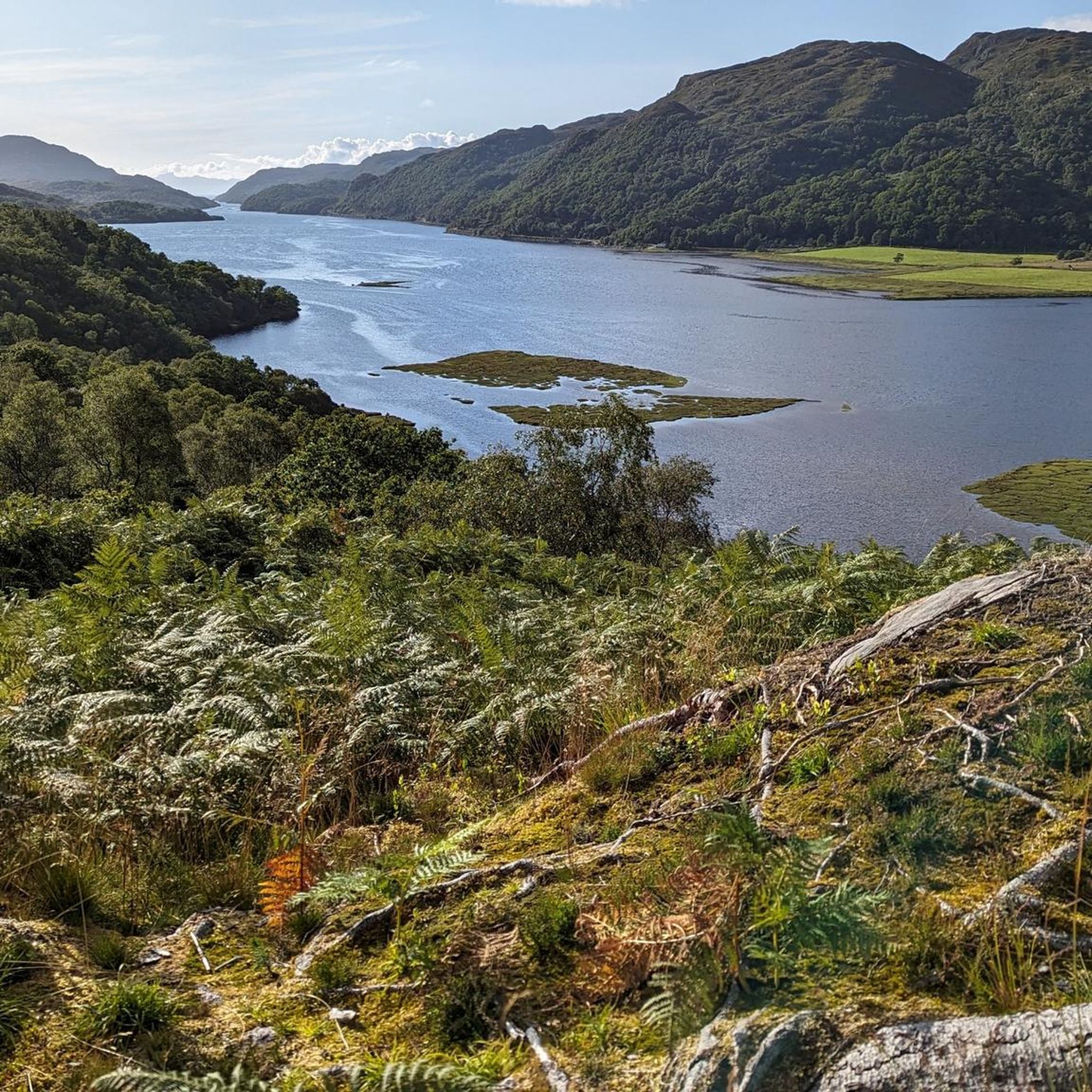
This wild and remote path on the edge of Moidart heads up towards a number of small Lochans. As you leave the Atlantic oak forest near the shoreline, keep glimpsing behind you for ever reaching views over Loch Moidart.
2
0
The semi ruined castle sits on Eilean Tioram (the 'Dry Island'). Whilst the interior is closed to the public, you can walk around the exterior, however take care to avoid crossing near to high tide so you can return safely. Situated at the entrance to the Shiel River, this would have been a place of strategic importance and archeologists have found evidence of man here since the Bronze Age. The castle you see here now is thought to date to the 13th Century.
5
0

There are very many ticks!! Keep that in mind, prepare, and look for them carefully after your tour.
1
0
Frequently Asked Questions
Where is Ardmolich Wood located?
Ardmolich Wood is situated in the remote and scenic Moidart area of the Scottish Highlands. The trails are typically accessed near Kinlochmoidart, offering routes that climb through the woods for views over Loch Moidart.
Is there parking available for hikes in Ardmolich Wood?
Yes, there is a car park at the start of the main Ardmolich Trail. This serves as the primary trailhead for many of the walks in the area. It's advisable to arrive early, especially on weekends, as space can be limited.
Are the hiking trails in Ardmolich Wood dog-friendly?
Dogs are generally welcome on the trails in Ardmolich Wood. However, the area is home to wildlife and may have livestock grazing nearby. It's important to keep your dog under close control at all times, and on a lead where required.
What is the difficulty of the hikes in this area?
The hikes around Ardmolich Wood are mostly of easy to moderate difficulty. You'll find a mix of 18 different routes, with around 11 moderate trails featuring steep slopes and rocky terrain, and 7 easier paths suitable for more casual walks. There are no officially graded difficult or expert-level trails.
Are there any easy, family-friendly walks in Ardmolich Wood?
Yes, there are several easier options suitable for families. A good choice is the Castle Tioram – Silver Walk loop from Acharacle. At just over 2 miles (3.3 km), it's a relatively short and gentle walk that still offers a taste of the region's history and scenery.
What kind of scenery can I expect on the trails?
The landscape is a dramatic mix of rocky wooded hills, mature spruce forests, and sections of native Atlantic Oakwood. Many trails reward you with panoramic views across Loch Moidart towards the islands of Rùm, Muck, and Eigg. The area is also undergoing a conservation project to restore native deciduous trees.
Can I get to the Ardmolich Wood trailhead using public transport?
The Ardmolich Wood area is quite remote, and public transport options are limited. Reaching the main trailheads is most conveniently done by car. If you plan to travel by bus, you should check local service schedules for routes that pass near Kinlochmoidart and be prepared for a walk to the trailhead.
What do other hikers say about the trails in Ardmolich Wood?
The trails are highly regarded by the komoot community, with an average rating of 4.5 stars. Hikers often praise the stunning views over the loch and the peaceful atmosphere of the woodlands. The mix of challenging climbs and rewarding vistas is a frequently mentioned highlight.
Are there any circular walks available?
Yes, circular walks are a key feature of the area. A great moderate option is the Castle Tioram, Silver Walk & River Shiel loop, which combines views of the historic castle with paths along the river and through the woods over about 6 miles (9.8 km).
What wildlife might I see in Ardmolich Wood?
The woodlands are rich in wildlife. Birdwatchers can look for noisy flocks of crossbills, coal tits, and goldcrests. With some luck, you might spot a golden eagle soaring high above the hills. On the ground, keep an eye out for tracks and signs of elusive pine martens.
Are there any pubs or cafes near the trails?
The immediate area around the trailheads is very rural with limited amenities. For refreshments after your hike, you will need to travel to nearby villages like Acharacle or Strontian, where you can find a selection of local pubs, cafes, and shops.
What is the historical significance of the area?
The region is steeped in Jacobite history. A notable landmark is 'The Seven Men of Moidart,' a row of beech trees planted to commemorate the companions who left with Bonnie Prince Charlie for France in 1745. You may also come across old charcoal production platforms, remnants of a past industry in the woods.

Get inspired with the komoot mobile app


Explore more
Browse the best Hikes in other regions.
