The best road cycling routes around Moncrieffe Hill
4.6
(56)
3,098
riders
189
rides
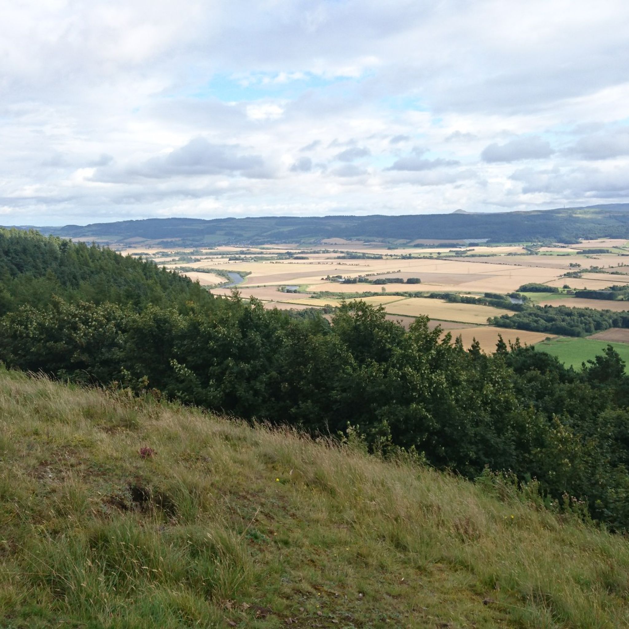
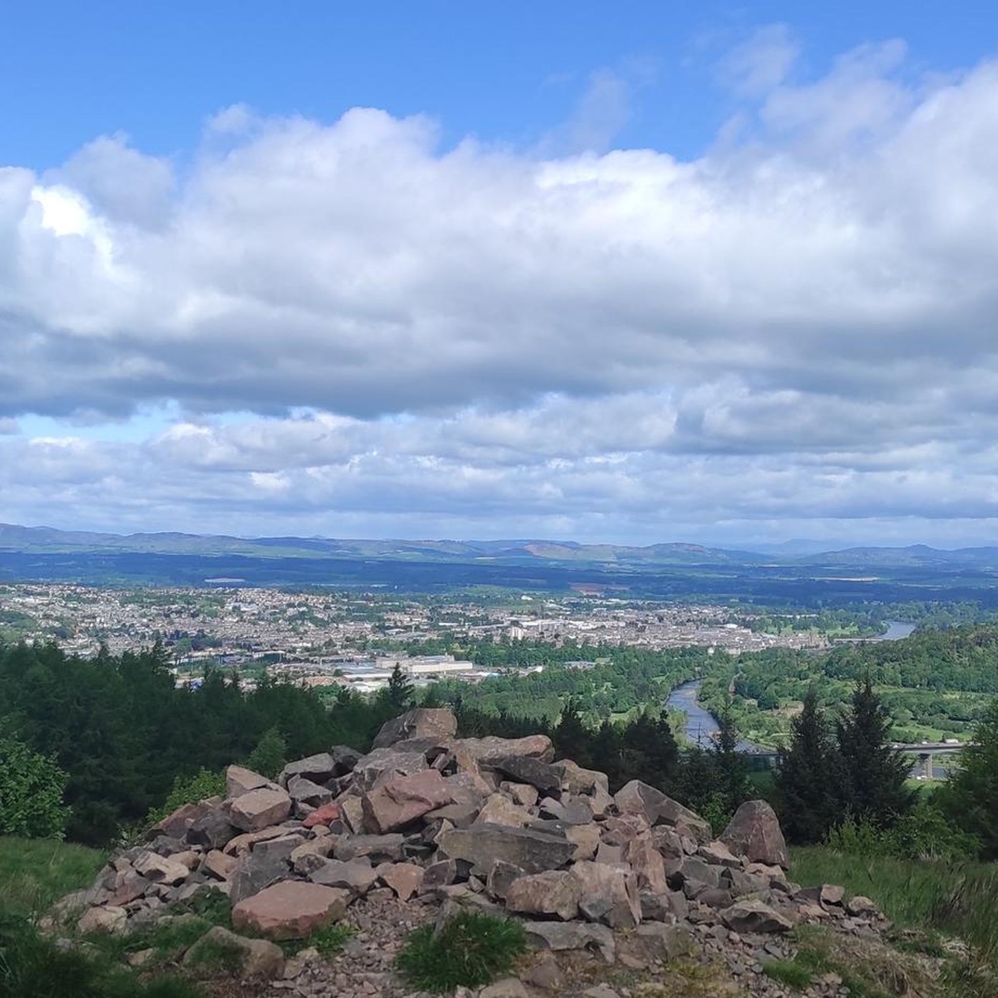
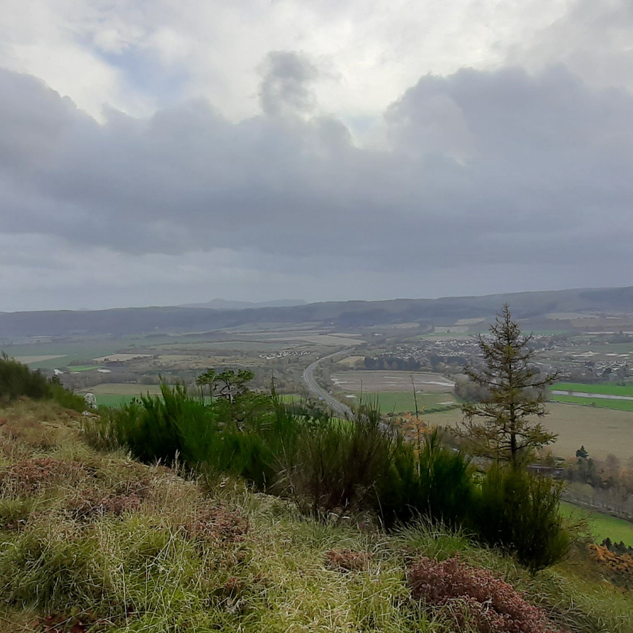
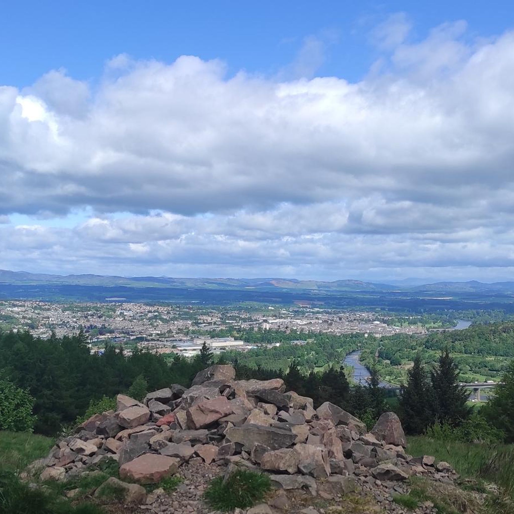
Road cycling around Moncrieffe Hill, a wooded ridge located south of Perth, Scotland, features routes through mature mixed forests and along quiet minor roads. The terrain includes varied gradients, from moderate to steep, providing diverse challenges for cyclists. From various points, including the Moredun Top summit, panoramic views extend across Strathearn, the Ochil and Lomond Hills, and towards Perth and the River Tay.
Best road cycling routes around Moncrieffe Hill
- The most popular road cycling route is Path of Condie Country Road – Burleigh Castle loop from Bridge of Earn, a 32.0 miles (51.6 km) trail that takes 2 hours 58 minutes to complete. This route offers a moderate challenge through varied countryside.
- Another top favourite among local road cyclists is View of Perth from Rhynd Road – Earn Coffee Shop loop from Bridge of Earn, an easy 10.0 miles (16.1 km) path. This route provides views of Perth and the surrounding area.
- Local road cyclists also love the Crieff & Glen Devon loop from Perth, a 71.7 miles (115.4 km) trail leading through rolling hills and glens, often completed in about 4 hours 58 minutes.
- Road cycling around Moncrieffe Hill is defined by wooded ridges, panoramic views, and quiet minor roads. The network offers options for different ability levels, from easy loops to more difficult, longer rides.
- The routes in Moncrieffe Hill are highly rated by the komoot community with an average score of 4.6 stars from over 50 reviews. More than 3000 road cyclists have used komoot to explore Moncrieffe Hill's varied terrain.
Last updated: June 24, 2026
5.0
(2)
24
riders
51.6km
02:58
840m
840m
Moderate road ride. Good fitness required. Mostly well-paved surfaces and easy to ride.
5.0
(1)
12
riders
115km
04:58
900m
900m
Cycle the moderate 71.7-mile Crieff & Glen Devon loop from Perth, gaining 2942 feet through scenic Scottish glens.

Sign up for free
127
riders
106km
04:59
1,180m
1,180m
Hard road ride. Very good fitness required. Mostly well-paved surfaces and easy to ride.
5.0
(3)
109
riders
42.2km
01:53
390m
390m
Moderate road ride. Good fitness required. Mostly well-paved surfaces and easy to ride.
97
riders
66.4km
03:01
540m
540m
Moderate road ride. Good fitness required. Mostly well-paved surfaces and easy to ride.
Get access to more routes and recommendations from other explorers.
Sign up for free
Already have an account?
Our route recommendations are based on thousands of hikes, rides, and runs completed by other people on komoot.
Start today with a free account
Your next adventure awaits.
Login or Signup
Tips from the Community


Nice scenic climb or fast decent. A great section of road.
0
0


Lovely place with lifely roasted coffee beans. Super friendly employees and great food :)
0
0

Free access, this old castle is just a short walk from Milnathort along some well managed countryside paths.
0
0

One of the Inchs in Perth. This one, the South Inch has a criss cross path network. perfect for families
0
0
Frequently Asked Questions
How many road cycling routes are available around Moncrieffe Hill?
There are over 190 road cycling routes around Moncrieffe Hill, offering a wide range of options for different skill levels and preferences. The komoot community has rated these routes highly, with an average score of 4.6 stars.
What kind of terrain can I expect on road cycling routes around Moncrieffe Hill?
Road cycling around Moncrieffe Hill features routes through mature mixed forests and along quiet minor roads. The terrain includes varied gradients, from moderate to steep, providing diverse challenges. You'll find both gentle loops and more difficult, longer rides through rolling hills and glens.
Are there routes suitable for beginners or those seeking an easy ride?
Yes, Moncrieffe Hill offers several easy road cycling routes. For instance, the View of Perth from Rhynd Road – Earn Coffee Shop loop from Bridge of Earn is an easy 10.0-mile (16.1 km) path that provides pleasant views of Perth and the surrounding area.
Are there challenging routes for experienced road cyclists?
Absolutely. For experienced cyclists, routes like the Forteviot Bridge – Remote Glen Road and Stream loop from Perth offer a difficult challenge, covering over 100 km with significant elevation gain. Another popular, moderately challenging option is the Path of Condie Country Road – Burleigh Castle loop from Bridge of Earn.
What natural features and viewpoints can I discover while cycling around Moncrieffe Hill?
From various vantage points, especially the summit area known as Moredun Top, you can enjoy panoramic views across Strathearn, encompassing the Ochil and Lomond Hills, and to the north, offering scenes of Perth, the River Tay, and Kinnoull Hill. The hill is also covered by mature, mixed forests with impressive giant Douglas firs and native Scots pines. You can find specific viewpoints like the Moncreiffe Hillfort Viewpoint and the Moncrieffe Hill Eastern Viewpoint.
Are there any historical sites or unique attractions to see along the routes?
Yes, Moncrieffe Hill is rich in history. You can explore two Iron Age hill forts, including the larger Moredun Top Hillfort. There's also a Sculpture Trail in the north-west part of the wood featuring various sculptures, and several disused ice houses adding to the historical intrigue. You might also encounter the Carved Wooden Totem and Viewpoint.
Is there parking available for cyclists near Moncrieffe Hill?
While specific parking areas for cyclists are not detailed, Moncrieffe Hill is generally accessible. Cyclists often find parking in nearby towns like Bridge of Earn or Perth, which serve as common starting points for many routes.
How accessible is Moncrieffe Hill by public transport for cyclists?
Moncrieffe Hill is located south of Perth, which is well-connected by public transport. Cyclists can typically reach Perth by train or bus and then cycle to the hill. It's advisable to check local public transport schedules and bicycle carriage policies beforehand.
Are permits required for road cycling around Moncrieffe Hill?
No, permits are generally not required for road cycling on the public roads around Moncrieffe Hill. The minor roads encircling the wood are open for careful cycling. For more information on the area, you can visit the Perth and Kinross Council website: pkc.gov.uk.
When is the best time of year to go road cycling around Moncrieffe Hill?
The best time for road cycling around Moncrieffe Hill is typically from spring through autumn (April to October) when the weather is milder and the days are longer. The woodland floor comes alive with snowdrops, wild garlic, bluebells, and forget-me-nots in spring, adding to the scenic beauty. Summer offers warmer temperatures, while autumn provides stunning foliage.
Can I bring my dog on road cycling routes around Moncrieffe Hill?
While the minor roads around Moncrieffe Hill are suitable for cycling, the suitability for dogs depends on their ability to keep pace safely and local regulations. Many of the trails within the woods are also popular for walking with dogs. Always ensure your dog is under control, especially near wildlife, and be mindful of other users.
Are there cafes or places to stop for refreshments near the cycling routes?
Yes, towns like Bridge of Earn and Perth, which are common starting points for routes around Moncrieffe Hill, offer various cafes, pubs, and accommodation options where you can stop for refreshments before or after your ride. The View of Perth from Rhynd Road – Earn Coffee Shop loop from Bridge of Earn even highlights a coffee shop along its path.
What do other road cyclists enjoy the most about road cycling in Moncrieffe Hill?
The area is highly rated by the komoot community, with an average score of 4.6 stars from over 50 reviews. Reviewers often praise the quiet minor roads, the varied terrain that caters to different skill levels, and the stunning panoramic views from various points across Strathearn and towards Perth. The rich biodiversity and historical sites also add to the appeal.
Most popular routes around Moncrieffe Hill
Most popular attractions around Moncrieffe Hill

Get inspired with the komoot mobile app


Explore more
Browse the best Road cycling routes in other regions.
