The best running trails around Mccordsville
4.0
(2)
490
runners
48
runs
Jogging around McCordsville, Indiana, offers access to an expanding network of trails and numerous green spaces. The region is characterized by a variety of paved and natural surfaces, catering to different preferences for running. Parks like Flat Fork Creek Park and Town Hall Park provide wooded paths and open areas, while the nearby Geist Reservoir features additional trails. This focus on green infrastructure supports an active outdoor lifestyle within the community.
Best jogging routes around Mccordsville
- The most popular jogging route is Flat Fork Creek Park loop run, a 6.0 miles (9.6 km) trail that takes 1 hour to complete. This route offers scenic paths through woods and open views within the park.
- Another top favourite among local runners is Running loop from Geist Reservoir, a moderate 5.0 miles (8.1 km) path. This route explores the area around the large natural feature of Geist Reservoir.
- Local runners also love the Running loop from Reforming Indy, a 5.4 miles (8.7 km) trail leading through varied local terrain, often completed in about 54 minutes.
- Jogging around McCordsville is defined by an extensive trail network, parks with green spaces, and the nearby Geist Reservoir. The network offers options for different ability levels, from easy paved paths to more moderate natural trails.
- The routes in McCordsville are highly rated by the komoot community with an average score of 4.0 stars from over 2 reviews. More than 400 runners have used komoot to explore McCordsville's varied terrain.
Last updated: October 2, 2026
1
runners
9.65km
01:00
10m
10m
Moderate run. Good fitness required. Mostly paved surfaces. Suitable for all skill levels.
12
runners
8.68km
00:54
40m
40m
Moderate run. Good fitness required. Mostly paved surfaces. Suitable for all skill levels.

10
runners
8.04km
00:50
30m
30m
Moderate run. Good fitness required. Mostly paved surfaces. Suitable for all skill levels.
10
runners
6.58km
00:41
20m
20m
Moderate run. Good fitness required. Mostly paved surfaces. Suitable for all skill levels.
12
runners
12.7km
01:19
60m
60m
Moderate run. Good fitness required. Mostly paved surfaces. Suitable for all skill levels.
Get access to more routes and recommendations from other explorers.
Already have an account?
Our route recommendations are based on thousands of hikes, rides, and runs completed by other people on komoot.
Start today with a free account
Your next adventure awaits.



Tips from the Community

Flat Fork Creek Park is a 60-acre wooded park on the east side of Fishers. The park is popular for running on hiking on its trails, fishing and sledding down a 60-foot hill in the winter.
0
0

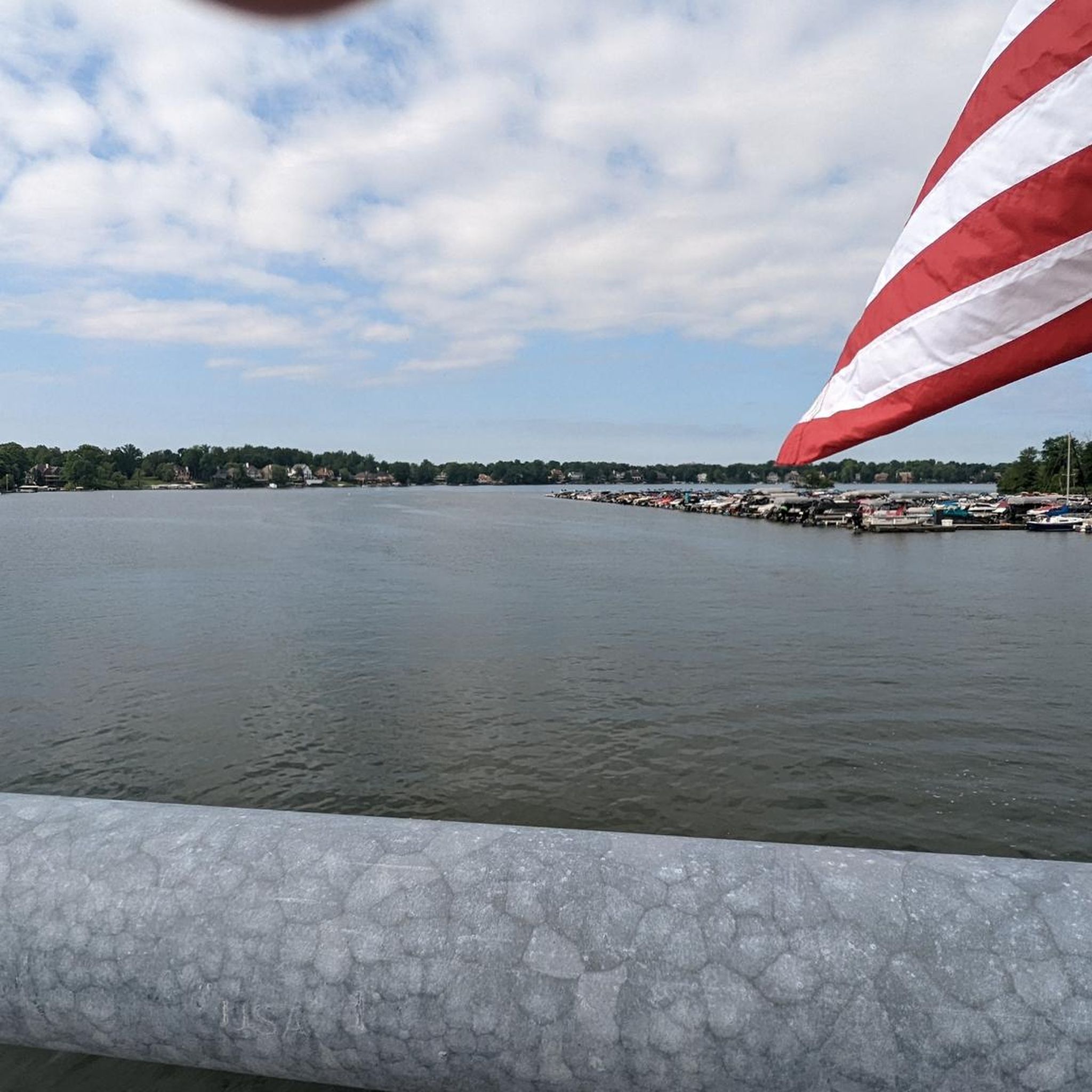
Fall Creek is a 57-mile tributary to the White River. This bridge is over the point where Fall Creek meets Geist Reservoir."
0
0
Frequently Asked Questions
How many running routes are available in and around McCordsville?
McCordsville and its surrounding areas offer a wide selection of running paths, with over 40 routes available for you to explore. These include a mix of paved and natural surfaces, catering to various preferences and fitness levels.
Are there easy jogging routes suitable for beginners in McCordsville?
Yes, McCordsville has several easy jogging routes perfect for beginners or those looking for a relaxed run. The region features many paved paths and trails with minimal elevation gain. For instance, the trails within Flat Fork Creek Park offer mostly paved options suitable for all skill levels, providing a scenic experience through woods and open views.
What are some scenic running trails in McCordsville with good views?
For scenic runs, consider routes like the Flat Fork Creek Park loop run, which offers beautiful paths through wooded areas and open vistas. The Harrison Trace Trail in Fort Harrison State Park is another excellent choice, providing a 3.0-mile paved loop through scenic forest paths. Additionally, the Running loop from Geist Reservoir explores the picturesque area around the large natural feature of Geist Reservoir.
Are there any dog-friendly running trails in the McCordsville area?
Many parks and trails in McCordsville are dog-friendly, provided your furry friend is on a leash. Flat Fork Creek Park, with its varied trails, is a popular spot for locals and their dogs. Always check specific park regulations before heading out, but generally, the extensive trail network in the area welcomes leashed pets.
Which running routes are suitable for families with children?
McCordsville offers several family-friendly running options. Parks like Town Hall Park feature large green spaces and short loop trails perfect for a quick jog or stroll with children. Geist Waterfront Park, near Geist Reservoir, also provides walking trails, a beach area, and playgrounds, making it an ideal spot for families to enjoy outdoor exercise together.
Are there circular running routes in McCordsville?
Yes, many of the running routes in McCordsville are designed as loops, offering convenient circular paths. The Flat Fork Creek Park loop run is a popular example. The Lawrence Creek Trail is another circular route within a nature preserve, allowing for exploration and birdwatching. These loops are great for runners who prefer to start and end at the same point.
What kind of natural features or landmarks can I see along the running routes?
While running in McCordsville, you can encounter a variety of natural features and points of interest. The trails often pass through wooded areas, offering views of local flora and fauna. You might explore areas like the Lawrence Creek Nature Preserve or the Ritchey Woods Nature Preserve. The nearby Geist Reservoir is a significant natural feature, and trails around it provide scenic water views. You can also find sections of the Pennsy Trail, which traces a historic railroad route.
Is parking available at the trailheads for running routes in McCordsville?
Yes, parking is generally available at the major parks and trailheads in McCordsville. For example, Flat Fork Creek Park and Town Hall Park offer dedicated parking facilities. The Lawrence Creek Trailhead Parking Area is specifically designed for trail access. It's always a good idea to check the specific starting point of your chosen route for parking details.
What do other runners enjoy most about jogging in McCordsville?
The running routes in McCordsville are highly rated by the komoot community, with an average score of 4.0 stars from over 2 reviews. Runners often praise the region's extensive trail network, the variety of paved and natural surfaces, and the peaceful green spaces. The scenic paths through woods and around natural features like Geist Reservoir are frequently highlighted as enjoyable aspects of jogging in the area.
Are there any longer running routes for experienced runners?
For experienced runners looking for longer distances, McCordsville offers several options. The Pennsy Trail, a 14.5-mile paved path, provides a substantial long-distance option. Additionally, routes like the Running loop from Hamilton Southeastern High School cover over 7 miles, offering a good challenge for those seeking more mileage.
Can I find running routes that connect to a wider trail network?
Yes, McCordsville's trail system connects to a broader network, allowing for extended runs. The Nickel Plate Trail, while partly further afield, is a well-maintained trail that links into a larger network. The Pennsy Trail also offers a long, continuous path, providing opportunities to explore beyond the immediate McCordsville area.
Are there any running routes near McCordsville that are particularly quiet or secluded?
For a quieter running experience, consider trails within nature preserves or less-trafficked parks. The Lawrence Creek Trail in a nature preserve offers a more secluded environment for exploration and birdwatching. The Fall Creek Trail also provides a scenic route along a quiet, forested corridor, ideal for those seeking tranquility.
Most popular routes around Mccordsville
Most popular attractions around Mccordsville

Get inspired with the komoot mobile app


Explore more
Browse the best Running Trails & Routes in other regions.
