The best road cycling routes around Donat
4.7
(115)
4,031
riders
24
rides
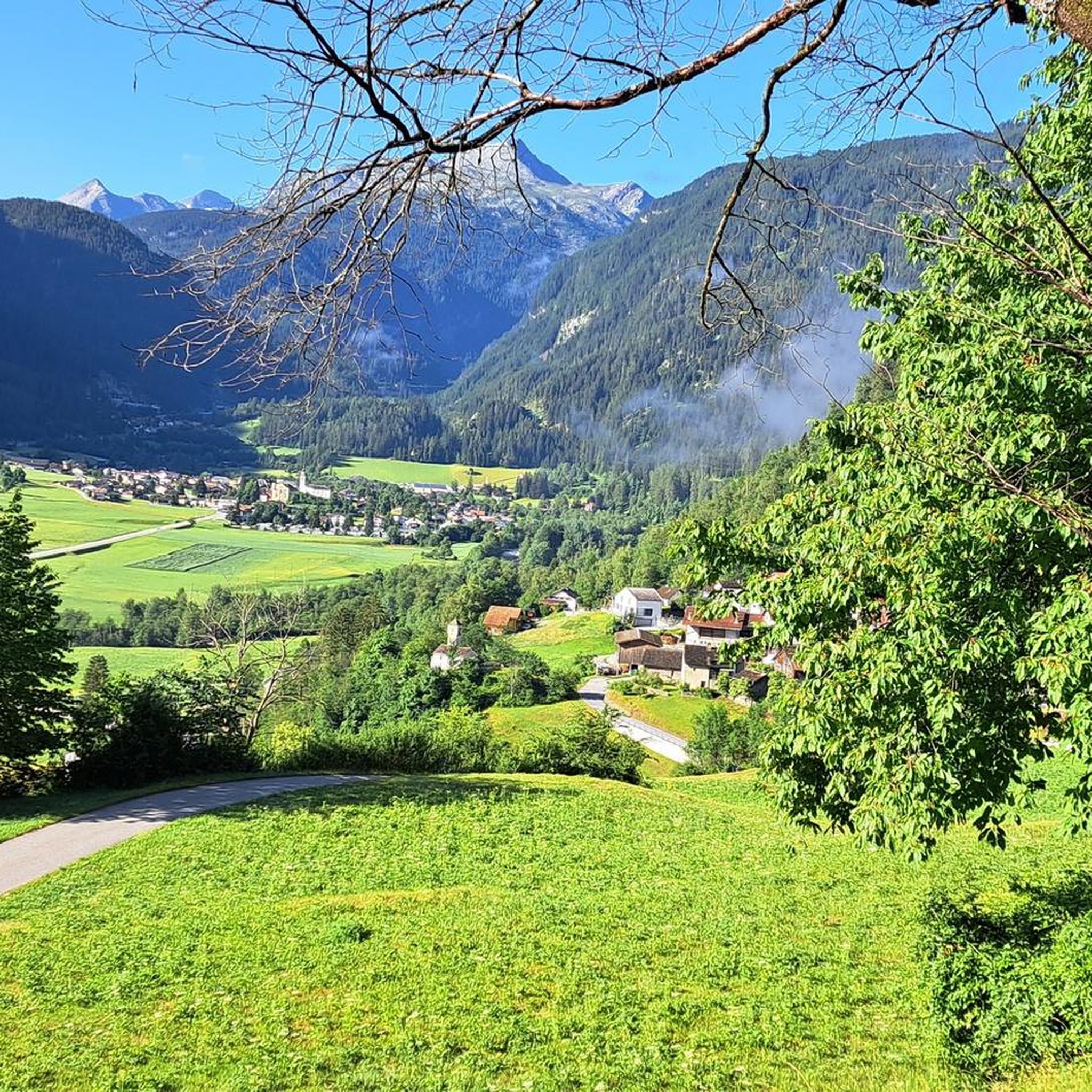
Road cycling routes around Donat traverse diverse alpine terrain, characterized by significant elevation changes, deep valleys, and scenic lake views. The region offers a network of roads that wind through mountainous landscapes, providing varied gradients for road cyclists. Donat's geography includes both challenging ascents and more moderate sections, with routes often featuring views of lakes and surrounding peaks. There are 27 road cycling routes available in the Donat area.
Best road cycling routes around Donat
- The most popular road cycling…
Last updated: October 11, 2026
5.0
(2)
29
riders
21.9km
01:36
730m
730m
Moderate road ride. Good fitness required. Mostly well-paved surfaces and easy to ride.
4.8
(14)
768
riders
89.2km
05:47
2,660m
2,660m
Hard road ride. Very good fitness required. Some segments of this route may be unpaved and difficult to ride.

4.6
(18)
535
riders
50.2km
02:18
510m
510m
Moderate road ride. Good fitness required. Some segments of this route may be unpaved and difficult to ride.
4.8
(9)
411
riders
94.4km
05:17
1,960m
1,960m
Hard road ride. Very good fitness required. Some segments of this route may be unpaved and difficult to ride.
4.4
(14)
370
riders
85.7km
05:13
2,280m
2,280m
Hard road ride. Very good fitness required. Mostly well-paved surfaces and easy to ride.
Get access to more routes and recommendations from other explorers.
Already have an account?
Our route recommendations are based on thousands of hikes, rides, and runs completed by other people on komoot.
Start today with a free account
Your next adventure awaits.
Tips from the Community


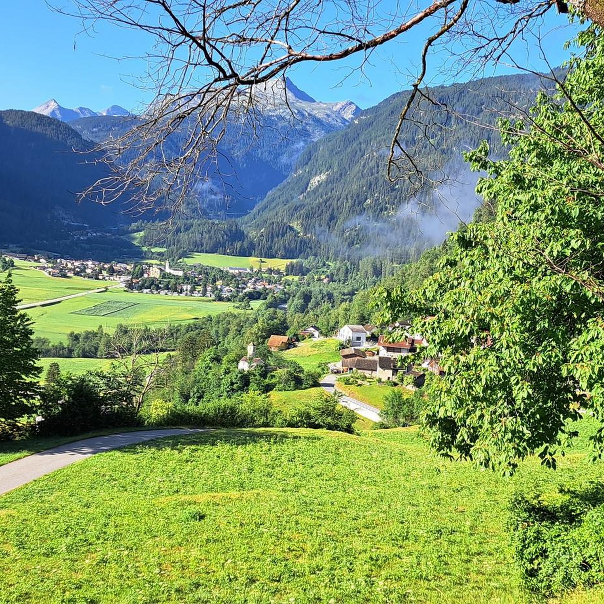
An intact village center and a turbulent history.
0
0

The RhB Reichenau train station, with parking available, is very well suited as a starting point for bike or hiking tours through the wild Vorderrhein Gorge to Sagogn or Ilanz. Along the gorge, there are small RhB train stations, at Trin, Versam-Safien, or Valendas-Sagogn, for intermediate stops or return journeys back to Reichenau.
0
0


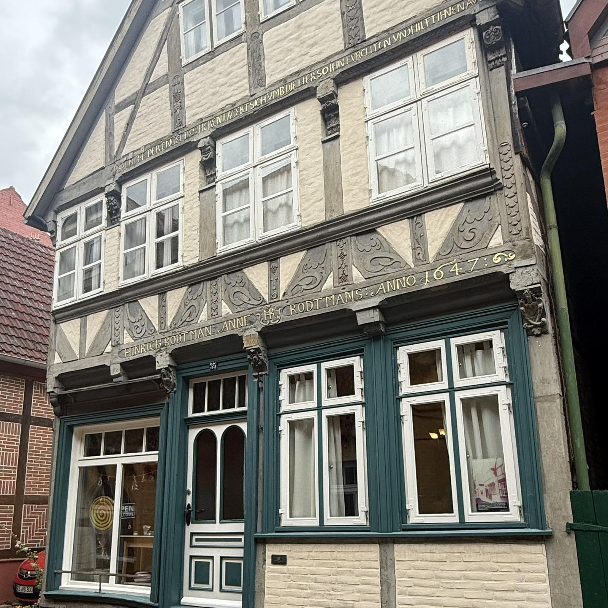
Saints Anne and Joachim are considered the parents of the Mother of God, whose birth this church celebrates. They are thus the grandparents of Jesus, but are not mentioned by name in the biblical writings of the New Testament. An exact date, in the historical or scientific sense, is not known for the various stages in the life of the Mother of God. However, the Feast of the Nativity of the Mother of God—one of Mary's numerous honorary titles—is celebrated on September 8th in many Christian denominations (Catholic, Anglican, Orthodox, and Armenian).
0
1

A place of power in a special class
0
0

Parish Church of the Nativity of Mary, Rhäzüns The present-day landscape of Rhäzüns is largely shaped by the Catholic parish church of Nossadunna, located in the center of the village. The church tower rises high above the rooftops and is a landmark visible from afar. Although consecrated in 1701, the Baroque sacred building did not become a parish church until 1777. The floor plan shows an octagonal central structure with two side niches and a polygonal choir loft extended to the north. The tower is inserted into the eastern choir shoulder, and the sacristy is located in the western one. The parish of Rhäzüns always celebrates the patronal feast of the parish church of the Nativity of Mary on the first Sunday in September. However, if September 8th falls on a Sunday, the Solemnity is celebrated on September 8th. Mass begins at 10:00 a.m. All churches are open daily from 8:00 a.m. to 7:00 p.m. (Automatic door closing) Text / Source: Catholic Parish of 7403 Rhäzüns https://www.kirchgemeinde-rhaezuens.ch/kirchen/
15
0

A reservoir in the Swiss canton of Graubünden, nestled in the impressive mountain landscape of the Viamala and Rheinwald regions. It stretches over a length of approximately two kilometers.
1
0
Frequently Asked Questions
How many road cycling routes are available in Donat?
There are 27 road cycling routes available in the Donat area, offering diverse options for cyclists of all levels.
Are there easy road cycling routes suitable for beginners in Donat?
Yes, Donat offers routes suitable for beginners. There is 1 easy road cycling route, and many of the 13 moderate routes can also be enjoyed by those with some experience. These routes often feature less significant elevation changes.
Where can I find challenging road cycling routes in Donat?
Donat is known for its challenging alpine terrain. There are 13 difficult road cycling routes, often featuring substantial elevation gains and panoramic views. For example, the Lake Montespluga – Splügen loop from Sufers is a difficult 55.4-mile path with significant elevation gain.
Are there any loop road cycling routes in Donat?
Yes, many of the road cycling routes in Donat are loops, allowing you to start and end in the same location. An example is the Roadbike loop from Thusis, a 31.2-mile trail through varied terrain.
What kind of scenery can I expect on road cycling routes in Donat?
Road cycling routes in Donat traverse diverse alpine terrain, characterized by significant elevation changes, deep valleys, and scenic lake views. You'll often find routes winding through mountainous landscapes with views of lakes like Sufnersee and surrounding peaks.
What are some notable natural attractions along the road cycling routes in Donat?
Cyclists in Donat can encounter impressive natural monuments. Highlights include the dramatic Viamala Gorge and Roffla Gorge, as well as the serene Sufnersee.
Are there any historical or cultural landmarks to see while road cycling in Donat?
Yes, beyond natural beauty, you might encounter historical sites. For instance, the Wooden Church of Obermutten and St. Luzius Church, Lain are notable religious buildings in the vicinity that offer a glimpse into the region's heritage.
What is the best time of year for road biking in Donat?
Given Donat's alpine characteristics, the best time for road biking is typically from late spring to early autumn (May to October). During these months, the weather is generally more stable, and mountain passes are clear of snow, offering optimal conditions for cycling.
How long do road cycling routes in Donat typically take?
Route durations vary significantly based on distance and elevation. Shorter, moderate routes like Runda Schams – Grisons' Road Cycling Menu (13.6 miles) can take around 1 hour 36 minutes, while longer, difficult routes such as Sufnersee – Splügen loop from Donat (93.4 km) can take over 5 hours.
What do other road cyclists say about the routes in Donat?
The road cycling routes in Donat are highly rated by the komoot community, with an average score of 4.8 stars from over 90 reviews. Cyclists often praise the diverse alpine terrain, the significant climbs, and the panoramic views of lakes and mountains.
Are there any routes that feature Lake Montespluga?
Yes, the Sufnersee – Lake Montespluga loop from Donat is a challenging 85.7-kilometer route that includes stunning views of Lake Montespluga, offering a memorable alpine cycling experience.
Most popular attractions around Donat

Get inspired with the komoot mobile app


Explore more
Browse the best Road cycling routes in other regions.
