The best cycling routes around Lafayette
4.5
(9)
41
riders
26
rides
Touring cycling around Lafayette offers routes through a landscape characterized by its generally flat terrain. The region is part of the West Gulf Coastal Plain, featuring numerous waterways such as the Vermilion River and various bayous. Cyclists can explore diverse ecosystems including prairies, woodlands, and areas influenced by the Atchafalaya Basin, which is known for its cypress-tupelo swamps.
Best touring cycling routes around Lafayette
- The most popular touring cycling route is Celery Bog – Cattail Trail loop from Lafayette,…
Last updated: October 2, 2026
5.0
(1)
4
riders
20.9km
01:15
100m
100m
Easy bike ride. Great for any fitness level. Mostly paved surfaces. Suitable for all skill levels.
3
riders
18.4km
01:04
70m
70m
Easy bike ride. Great for any fitness level. Mostly paved surfaces. Suitable for all skill levels.

7
riders
18.9km
01:06
70m
70m
Easy bike ride. Great for any fitness level. Mostly paved surfaces. Suitable for all skill levels.
2
riders
14.7km
00:52
60m
60m
Easy bike ride. Great for any fitness level. Mostly paved surfaces. Suitable for all skill levels.
3.0
(3)
4
riders
42.4km
02:31
180m
180m
Moderate bike ride. Good fitness required. Mostly paved surfaces. Suitable for all skill levels.
Get access to more routes and recommendations from other explorers.
Already have an account?
Our route recommendations are based on thousands of hikes, rides, and runs completed by other people on komoot.

Tips from the Community

At just under 5 miles in total length, the Cattail Trail is a popular paved path traveling through West Lafayette. The path is popular for biking, running, and walking, and it connects to a bunch of the other paths, trails, parks, and woods around town and around campus.
0
0

Celery Bog is a sanctuary for over 120 species of birds as well as dozens of species of mammals, reptiles, and amphibians. The Lilly Nature Center on site offers varied exhibits and programs throughout the year.
1
0
Celery Bog has a number of looks depending on the time of year. There are actually a few different pools on the property, and each has its own moodiness. It's worth checking them all out, but by far the biggest is the first one that you can actually see from the road.
0
0
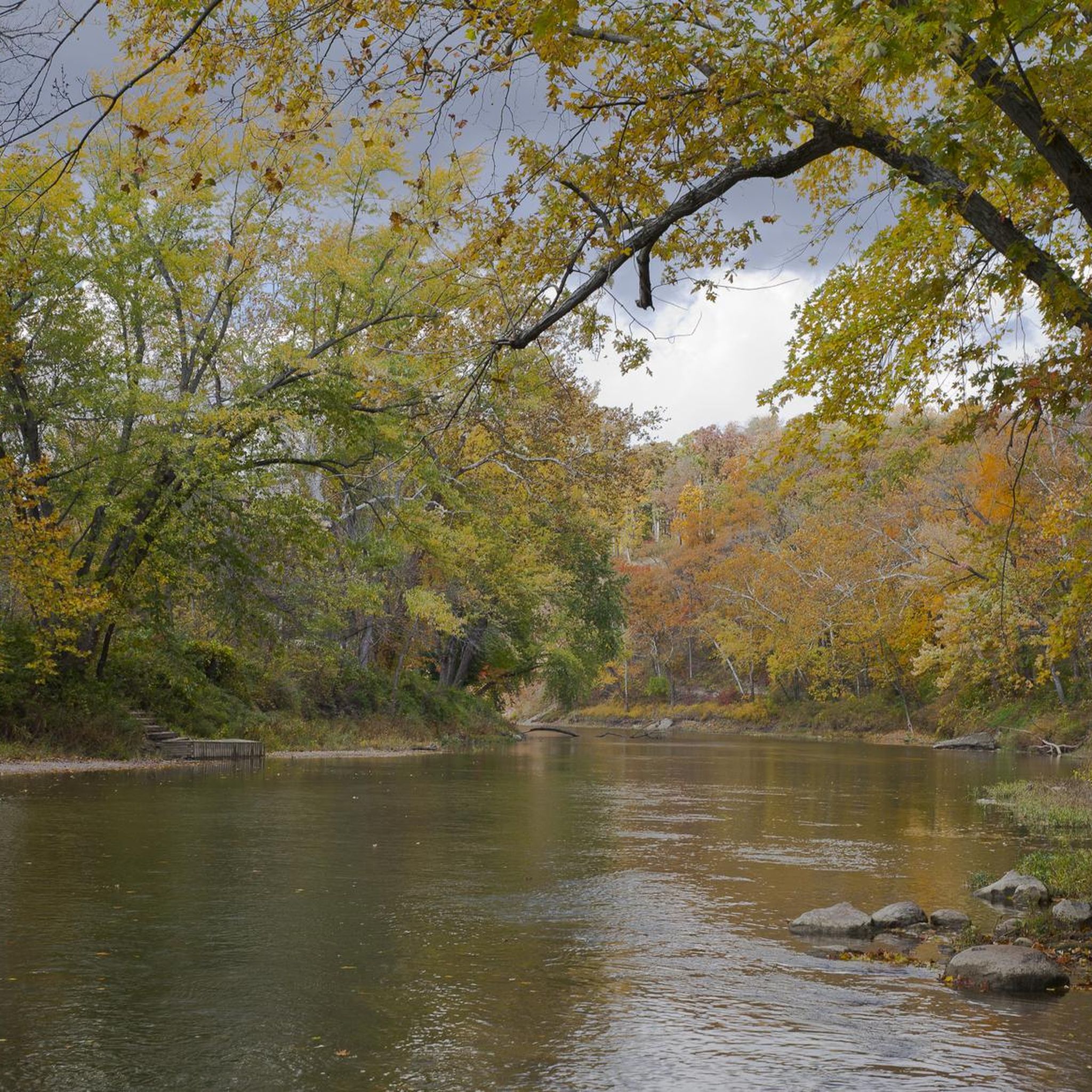
The Cattail Trail stretches nearly 5 miles across West Lafayette through a network of disconnected paths. This section next to the Celery Bog Nature Area offers views of the water and access to the other trails on the property.
0
0
At just under 5 miles in total length, the Cattail Trail is a popular paved path traveling through West Lafayette. The path is popular for biking, running, and walking, and it connects to a bunch of the other paths, trails, parks, and woods around town and around campus.
0
0
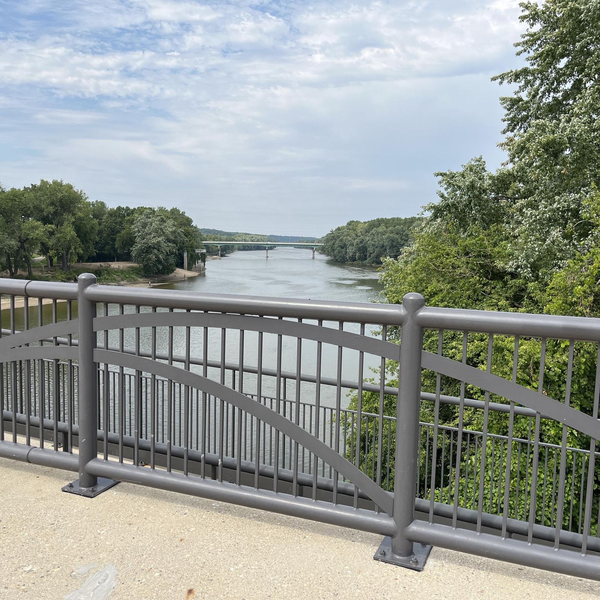
The John T. Meyers Pedestrian Bridge is a wide open bridge with picnic areas, open space, and views up and down the Wabash River. The bridge flows right into Tapawingo Park and connects both sides of the Wabash Heritage Trail.
0
0
Frequently Asked Questions
How many touring cycling routes are available in Lafayette?
There are over 25 touring cycling routes available around Lafayette, offering a variety of options for cyclists. Most of these routes are rated as easy, making them accessible for many skill levels.
What is the typical terrain like for touring cyclists in Lafayette?
Lafayette's terrain is generally flat, characteristic of the West Gulf Coastal Plain. Routes often traverse scenic bayous, open prairies, and woodlands. You can expect to cycle through diverse ecosystems, including areas influenced by the Atchafalaya Basin, known for its cypress-tupelo swamps.
What are the difficulty levels of touring cycling routes in Lafayette?
The majority of touring cycling routes in Lafayette are rated as easy, with 23 easy routes available. There are also 4 moderate routes for those seeking a bit more challenge. There are no difficult routes listed in this guide.
What natural features or landmarks can I see while touring cycling in Lafayette?
While touring cycling in Lafayette, you can encounter various natural features and landmarks. Routes often pass by the Vermilion River and other bayous. Notable natural areas include the Celery Bog and the Cattail Trail. The wider region features the iconic Atchafalaya Basin with its cypress-tupelo swamps, and places like Cypress Island Preserve on Lake Martin are known for their unique swamp ecosystems and birdlife.
Are there any easy touring cycling routes suitable for beginners?
Yes, Lafayette offers many easy touring cycling routes perfect for beginners. A popular choice is the Celery Bog – Cattail Trail loop from Lafayette, which is 13.0 miles (20.9 km) long and takes about 1 hour 15 minutes to complete. Another great option is the View of Ouiatenon Preserve loop from Purdue University, an 11.7 miles (18.8 km) path suitable for all skill levels.
Are there touring cycling routes with loop options in Lafayette?
Many touring cycling routes in Lafayette are designed as loops, offering convenient starting and ending points. Examples include the Celery Bog – Cattail Trail loop from Lafayette and the Celery Bog – Celery Bog loop from Lafayette. These circular routes allow you to experience diverse scenery without retracing your path.
What are some longer touring cycling routes in the Lafayette area?
For a longer touring cycling experience, consider the Celery Bog – Celery Bog loop from Practice field. This moderate route spans 41.8 km (26.0 miles) and typically takes around 2 hours 28 minutes to complete, offering an extended ride through the natural area.
What do other touring cyclists enjoy most about cycling in Lafayette?
The touring cycling routes in Lafayette are highly rated by the komoot community, with an average score of 4.5 stars from over 9 reviews. Cyclists often praise the flat terrain, scenic bayous, and diverse woodlands that define the region, making for enjoyable and accessible rides.
Are there any trails that connect different communities or offer urban exploration?
Yes, the Atakapa-Ishak Trail is a mixed on and off-road trail that connects Lafayette with nearby communities like Breaux Bridge and Henderson, offering diverse views. Additionally, Downtown Lafayette provides an urban biking experience with bike lanes and shared roads, allowing cyclists to explore the city's vibrant heart.
What is the best time of year for touring cycling in Lafayette?
The best time for touring cycling in Lafayette is generally during the spring and fall months when temperatures are milder. Spring, particularly March and April, is especially scenic as it's when the wild azaleas are in bloom along trails like the Azalea Trail.
Are there any specific points of interest along the touring cycling routes?
Beyond natural features, routes may pass by points of interest such as the Wabash Heritage Trail (West Bank), the Peter's Mill Bridge Trail at Jerry E. Clegg Botanical Garden, and the John T. Myers Pedestrian Bridge. These offer opportunities to pause and explore.
How long do touring cycling routes in Lafayette typically take to complete?
The duration of touring cycling routes in Lafayette varies depending on the distance and your pace. Many easy routes, like the Celery Bog – Celery Bog loop from West Lafayette (14.7 km), can be completed in about 50 minutes. Longer routes, such as the Celery Bog – Celery Bog loop from Practice field (41.8 km), might take around 2 hours 28 minutes.
Most popular attractions around Lafayette

Get inspired with the komoot mobile app


Explore more
Browse the best Cycling routes in other regions.
