The best cycling routes around Domat/Ems
4.5
(331)
3,738
riders
39
rides
Touring cycling routes around Domat/Ems are situated in the Rhine Valley, characterized by its distinctive landscapes and natural features. The plain features unique geological formations known as "Tumas," which are rubble cones from ancient landslides and are now protected nature reserves. The area is intertwined with the Rhine river, which cyclists can cross on various routes, offering a scenic backdrop for rides. This region provides diverse terrain, from the valley floor to more elevated areas, suitable for varied cycling experiences.
…Last updated: October 11, 2026
4.8
(72)
539
riders
93.7km
06:20
1,560m
1,560m
Hard bike ride. Very good fitness required. Mostly paved surfaces. Suitable for all skill levels.
4.6
(93)
624
riders
49.3km
03:40
600m
600m
Hard bike ride. Very good fitness required. Mostly paved surfaces. Suitable for all skill levels.

4.8
(60)
433
riders
Hard bike ride. Very good fitness required. Mostly paved surfaces. Suitable for all skill levels.
4.7
(20)
237
riders
90.0km
05:12
380m
380m
Hard bike ride. Very good fitness required. Mostly paved surfaces. Suitable for all skill levels.
5.0
(14)
226
riders
41.5km
04:03
1,570m
1,570m
Hard bike ride. Very good fitness required. Mostly paved surfaces. Suitable for all skill levels.
Get access to more routes and recommendations from other explorers.
Already have an account?
Our route recommendations are based on thousands of hikes, rides, and runs completed by other people on komoot.
Start today with a free account
Your next adventure awaits.
Popular around Domat/Ems
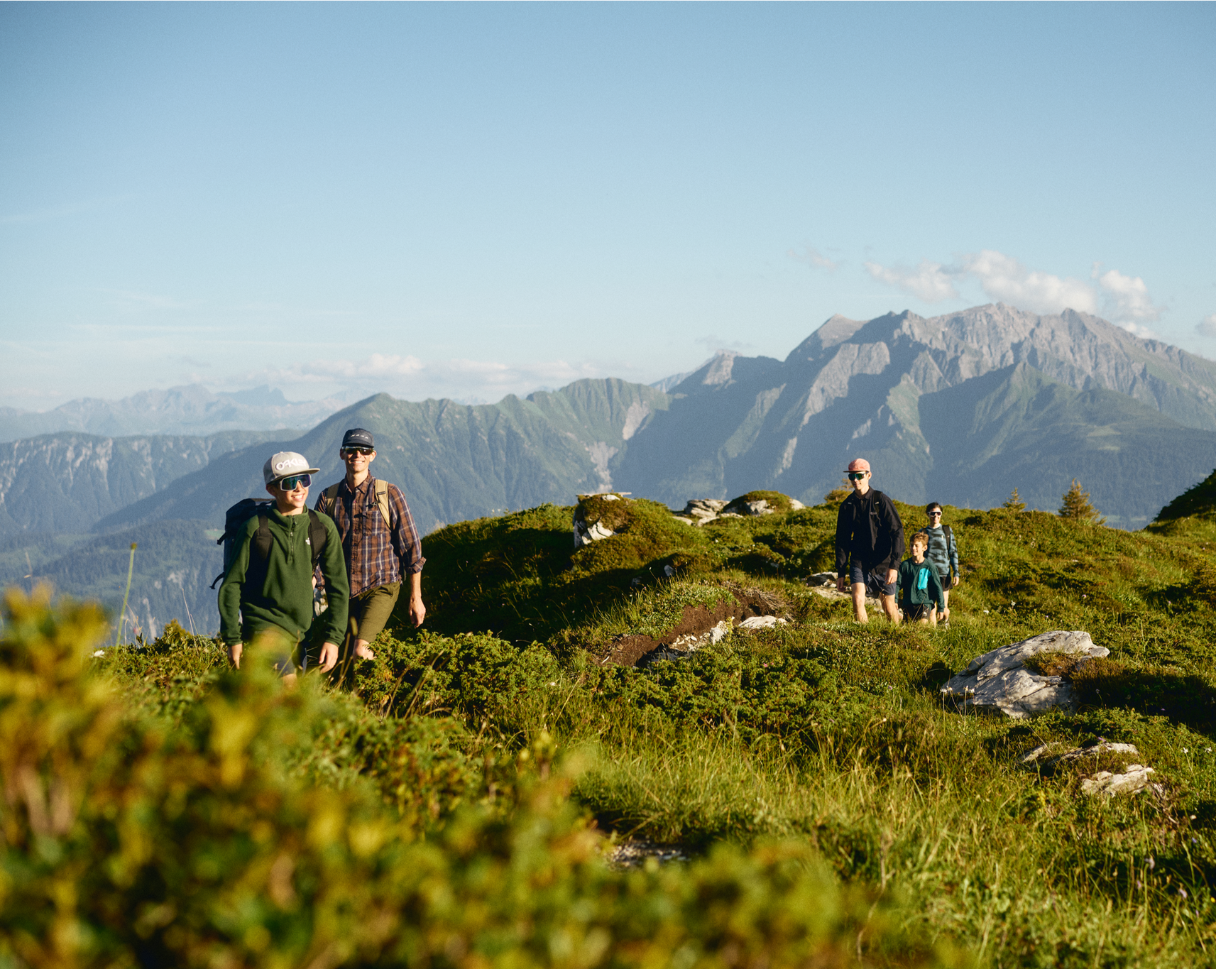
Hiking in and around the Sardona UNESCO World Heritage Site
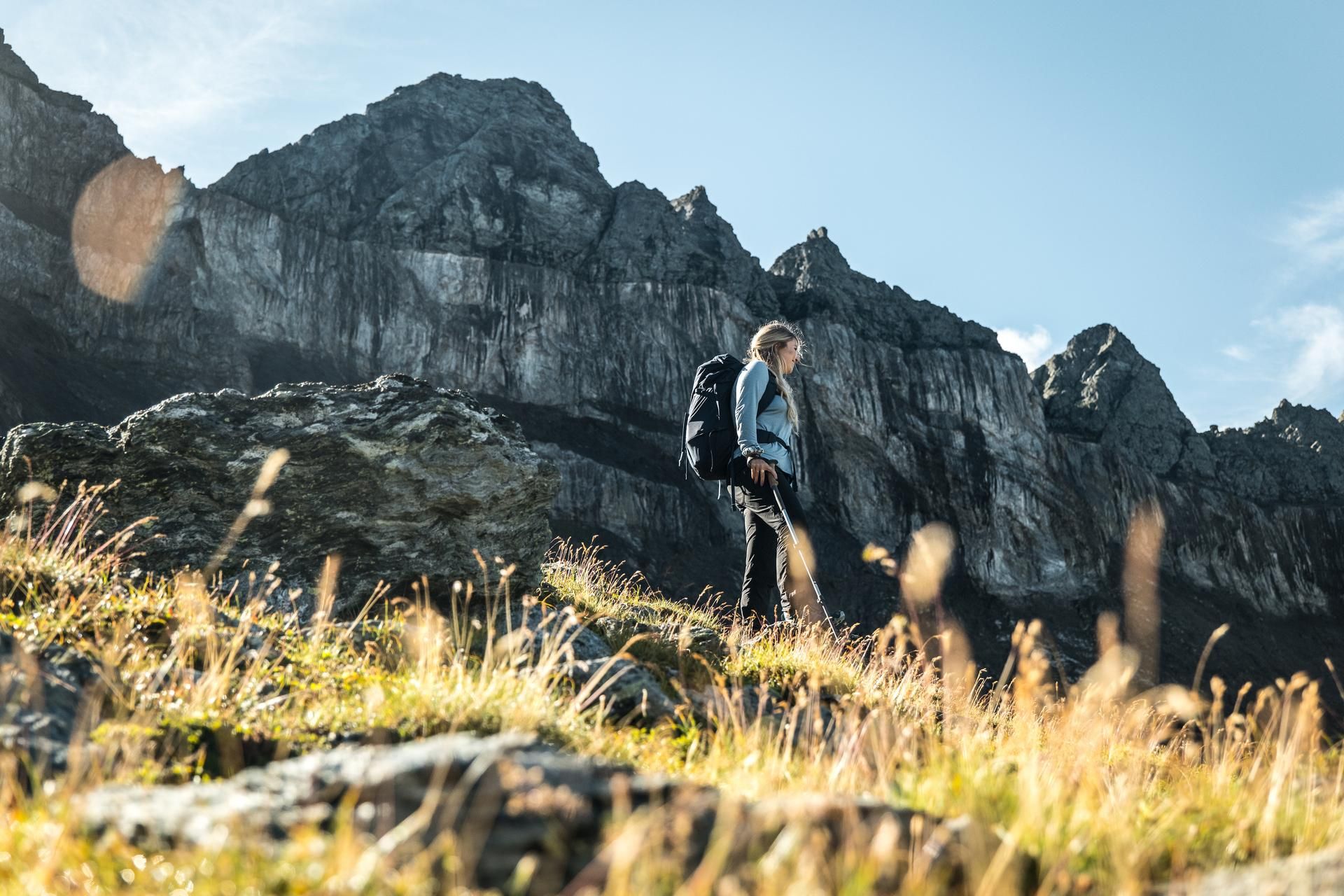
Hiking in the Swiss Tectonic Arena Sardona – Segnes Trek
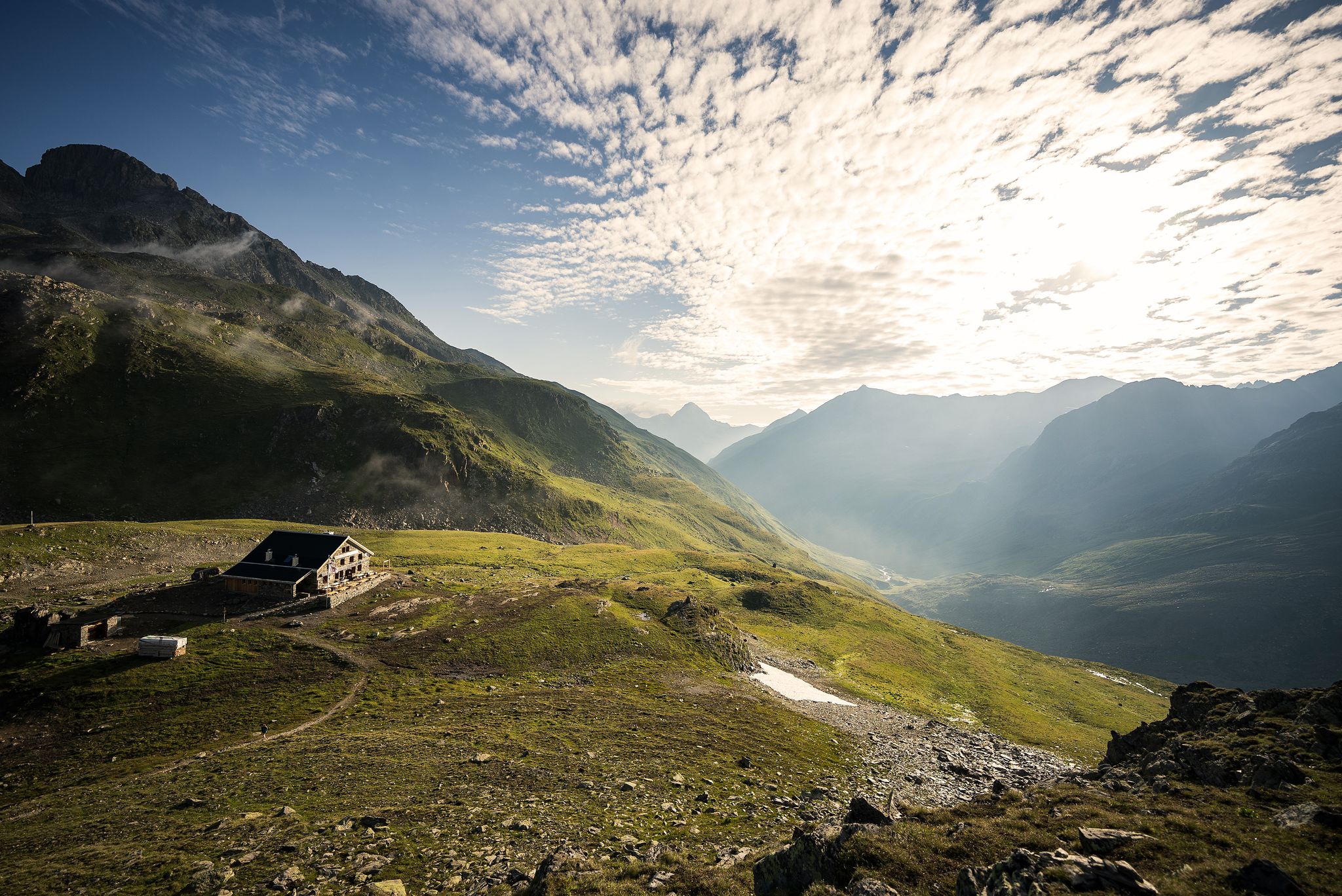
Hüttenzauber und Bergstille – Weitwandern in Graubünden
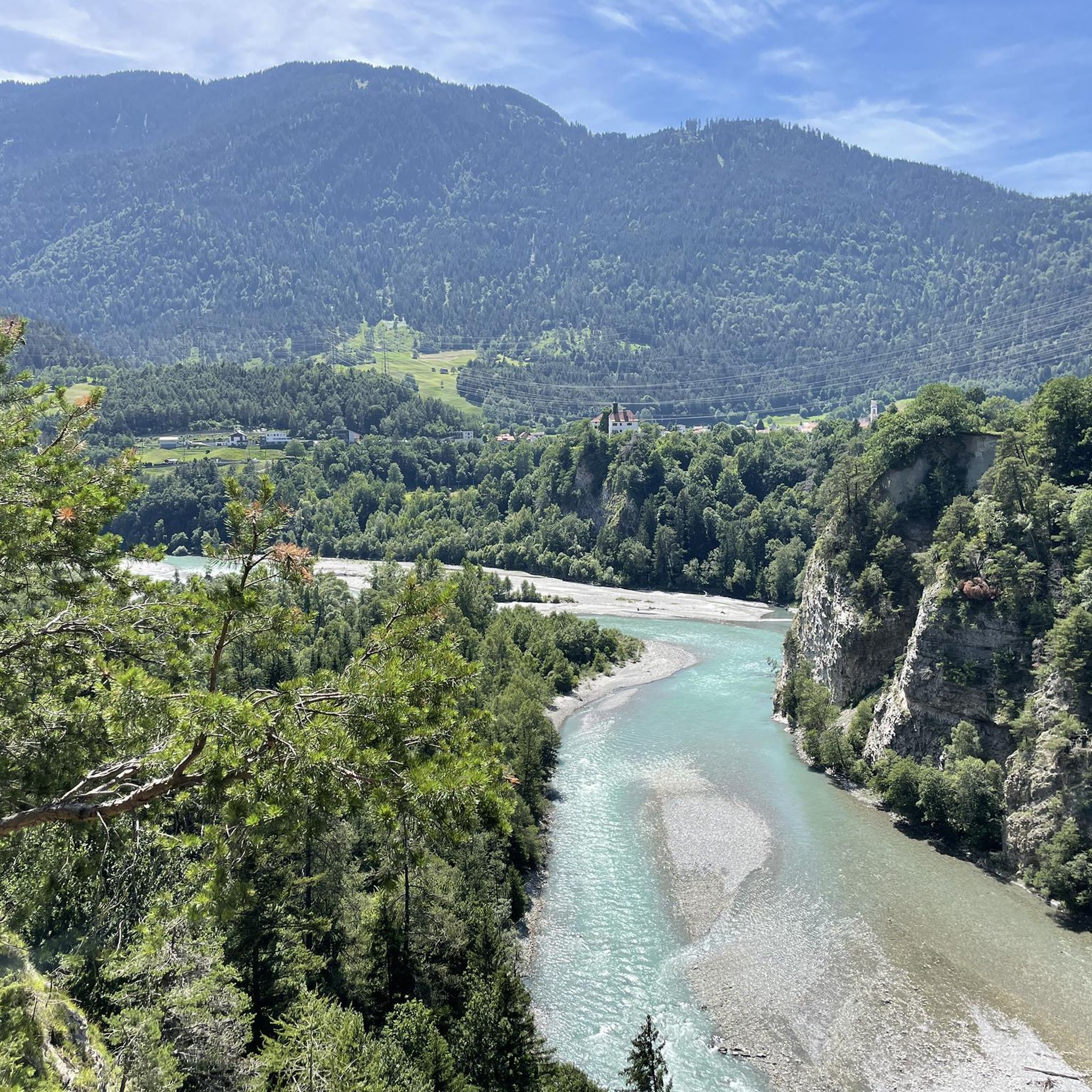
MTB Trails around Domat/Ems
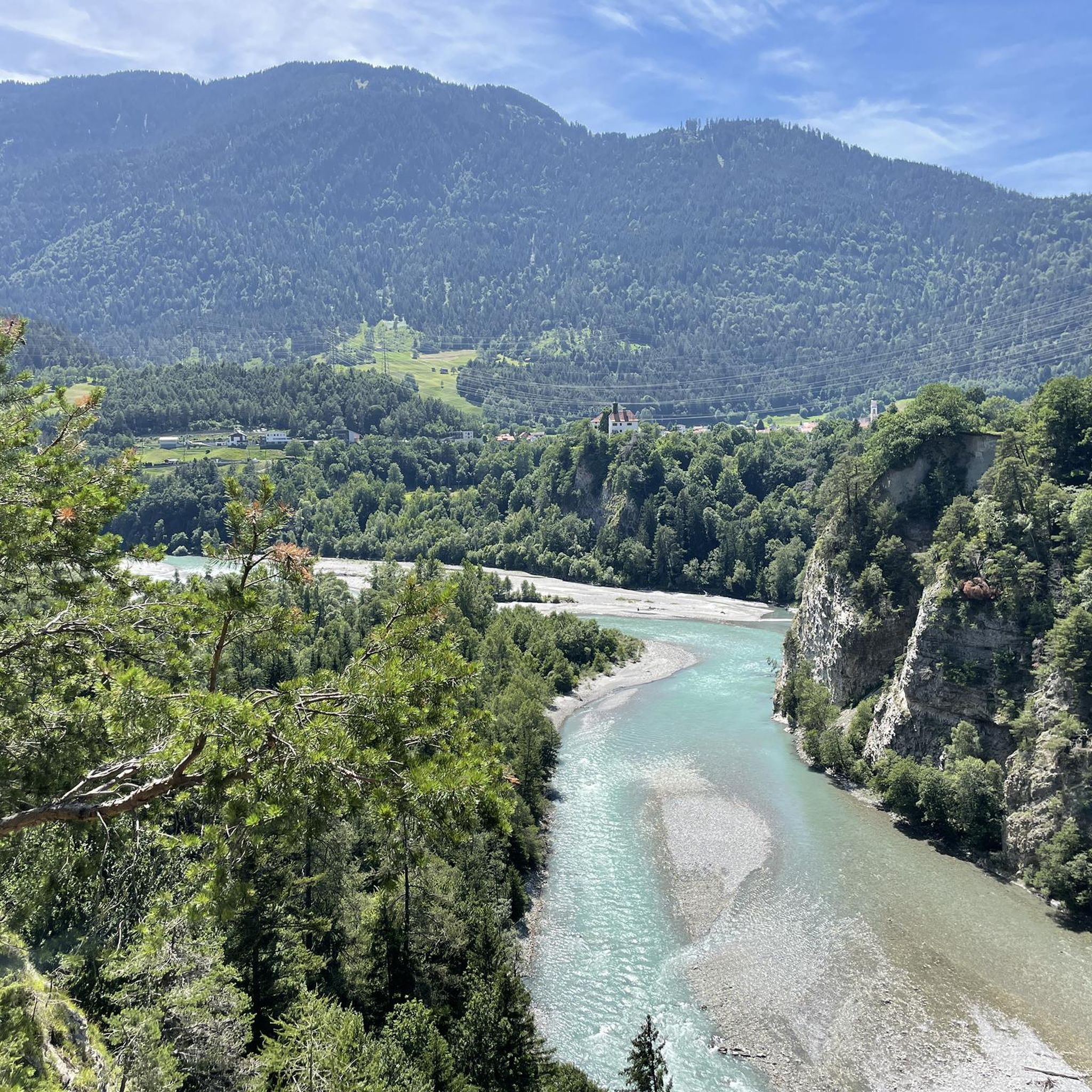
Road Cycling Routes around Domat/Ems
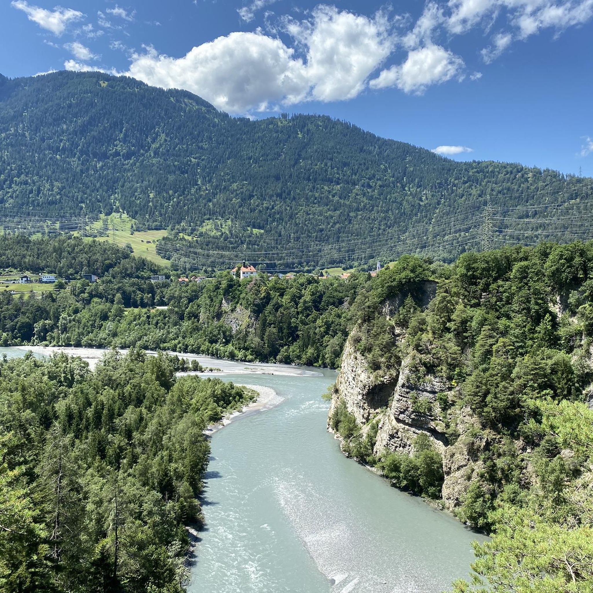
Hiking around Domat/Ems
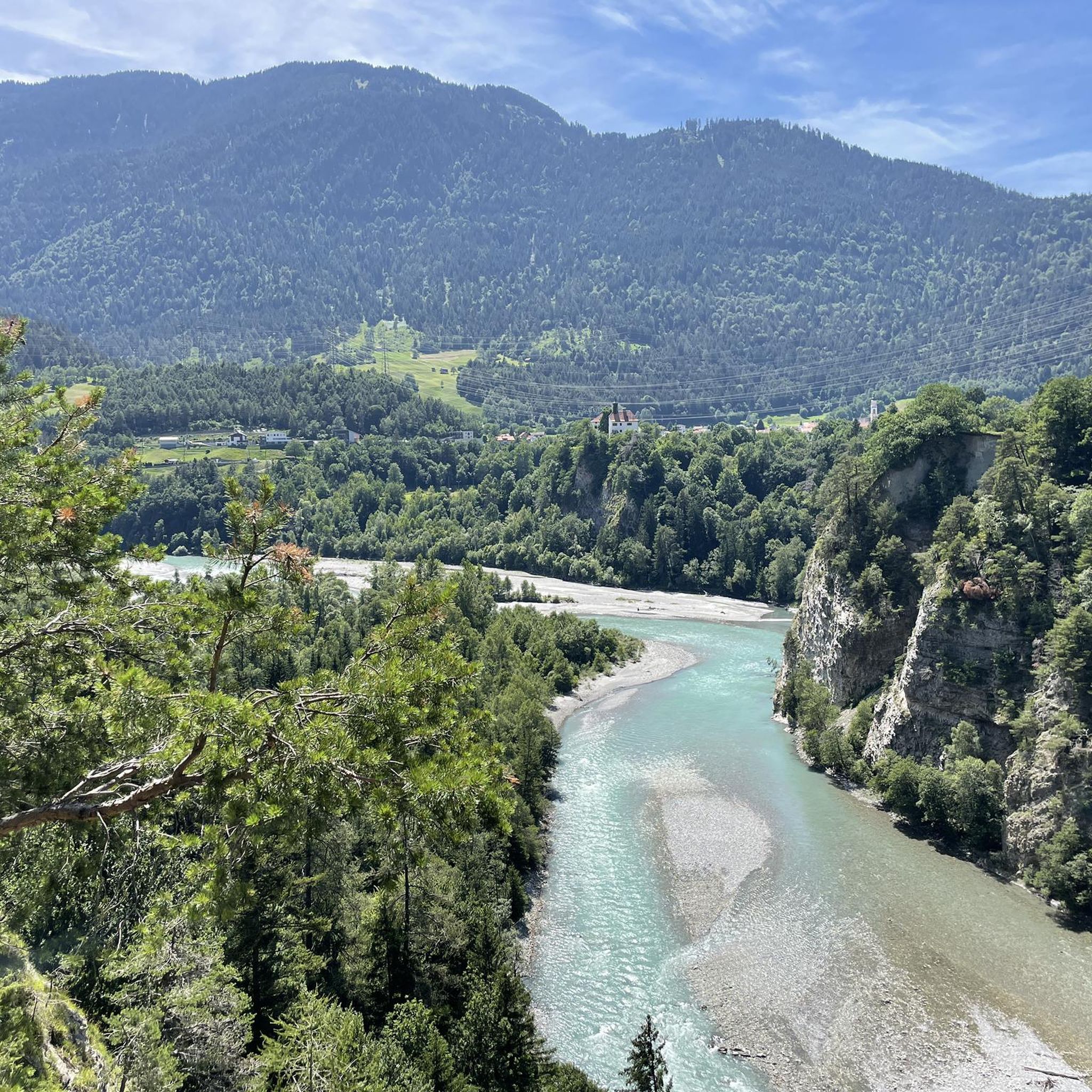
Running Trails around Domat/Ems

Gravel biking around Domat/Ems
Mountain Hikes around Domat/Ems


Tips from the Community


View to the Regitzer Spitz and the Ellhorn.
2
0

easy to drive and scenically spectacular
0
0

A place of power in a special class
0
0

Impressive landscape with good cycle paths
0
0
Great views and good cycle paths
0
0

A reservoir in the Swiss canton of Graubünden, nestled in the impressive mountain landscape of the Viamala and Rheinwald regions. It stretches over a length of approximately two kilometers.
1
0

Ruinaulta Rhine Gorge The Ruinaulta, or Rhine Gorge, is a gorge of the Vorderrhein River, up to 400 meters deep and approximately 13 kilometers long, between Ilanz and the mouth of the Hinterrhein River near Reichenau in the canton of Graubünden in Switzerland. The Romansh name 'Ruinaulta' is composed of the two words ruina (scree slope, quarry) and aulta (high). The Ruinaulta was formed after the Flims Landslide almost 10,000 years ago. At that time, over 10 billion cubic meters of rock broke off between the Flimserstein and Piz Grisch, burying the Vorderrhein Valley between the present-day villages of Castrisch and Reichenau under a mass of debris several hundred meters thick. Because the Vorderrhein River could no longer drain away, a lake was dammed over a length of approximately 25 kilometers. Over time, the river cut deep into the landslide, and the resulting lake drained away completely. What remained was the Ruinaulta, with its steep limestone scree cliffs in impressive erosion formations. Text / Source: Wikipedia https://de.wikipedia.org/wiki/Ruinaulta
16
0
Frequently Asked Questions
How many touring cycling routes are available around Domat/Ems?
There are over 40 touring cycling routes around Domat/Ems, offering a wide range of options for different preferences and skill levels.
What makes touring cycling in Domat/Ems unique?
The region is characterized by its distinctive landscapes, including unique geological formations called "Tumas" – rubble cones from ancient landslides that are now protected nature reserves. The routes are also intertwined with the Rhine river, which cyclists can cross multiple times, providing a scenic backdrop through the Rhine Valley. This diverse terrain, from the valley floor to more elevated areas, ensures varied cycling experiences.
Are there routes suitable for beginners or those looking for an easier ride?
Yes, Domat/Ems offers 6 easy touring cycling routes. These often follow the valley floor, providing a more relaxed experience with less elevation gain, perfect for casual rides or families.
Can I find challenging touring cycling routes with significant elevation gain?
Absolutely. For those seeking a challenge, there are 28 difficult routes available. For example, the Roffla Gorge – Sufnersee loop from Ems Werk covers 94 km with over 1,500 meters of elevation gain, exploring dramatic landscapes.
What natural features or landmarks can I expect to see along the cycling routes?
You'll encounter the unique "Tumas" geological formations, which are protected natural monuments. The Rhine river is a constant companion, and many routes offer views of the dramatic Rhine Gorge. Specific highlights include the Il Spir Viewing Platform – Rhine Gorge and the View of the Ruinaulta (Rhine Gorge). You might also pass by serene spots like Cresta Lake or Lake Cauma.
Are there any long-distance touring cycling routes available?
Yes, several routes offer longer distances. The Roffla Gorge – Sufnersee loop from Ems Werk is a substantial 94 km tour, while the Pardisa Bridge over the Rhine – Rhine Riverside Cycle Path loop from Felsberg is nearly 90 km, providing extensive cycling experiences.
What do other touring cyclists enjoy most about the routes in Domat/Ems?
The routes in Domat/Ems are highly rated by the komoot community, with an average score of 4.6 stars from over 250 reviews. Cyclists often praise the diverse terrain, from scenic valley rides along the Rhine to more challenging ascents, and the opportunity to explore unique natural features like the Tumas and the Rhine Gorge.
Are there circular touring cycling routes around Domat/Ems?
Yes, many of the touring cycling routes are designed as loops, allowing you to start and finish in the same location. Examples include the Domat/Ems Town Centre – Polenweg between Chur and Thusis loop from Felsberg and the View of the Rhine Gorge – View of the Rhine Gorge loop from Domat/Ems.
What kind of terrain can I expect on the touring cycling routes?
The routes offer a mix of paved and unpaved surfaces, with asphalt being prevalent, especially on quieter roads and tracks. You'll find everything from flat sections along the Rhine river to more demanding climbs into elevated areas, providing varied terrain for different cycling preferences.
Are there any specific points of interest or settlements to explore near the routes?
Beyond the natural beauty, you can explore settlements like Lenzerheide or Feldis/Veulden. Historical monuments such as the Dreibündenstein Monument and the Valendas Wooden Fountain are also accessible, offering cultural stops along your ride.
Is Domat/Ems a good starting point for exploring other cycling opportunities?
Yes, Domat/Ems is well-situated in the Rhine Valley and its proximity to Chur means easy access to further cycling opportunities, as Chur is also highlighted as an ideal starting point for bike tours in the wider region.
Most popular routes around Domat/Ems
Most popular attractions around Domat/Ems

Get inspired with the komoot mobile app


Explore more
Browse the best Cycling routes in other regions.
