The best road cycling routes around Shadeland
4.2
(6)
242
riders
29
rides
Road cycling routes around Shadeland, particularly near Indianapolis and Lawrence, Indiana, provide access to extensive trail networks and scenic greenways. The terrain is characterized by mostly paved paths suitable for road bikes, winding through natural parks and along waterways like Fall Creek. While generally flat, some routes incorporate gentle hills, offering varied experiences for cyclists. The area connects to broader trail systems, expanding options for longer rides.
Best road cycling routes around Shadeland
- The most popular road cycling route is…
Last updated: June 28, 2026
33
riders
62.2km
02:49
250m
250m
Moderate road ride. Good fitness required. Mostly well-paved surfaces and easy to ride.
23
riders
33.8km
01:34
170m
170m
Easy road ride. Great for any fitness level. Mostly well-paved surfaces and easy to ride.

Sign up for free
22
riders
49.0km
02:08
230m
230m
Moderate road ride. Good fitness required. Mostly well-paved surfaces and easy to ride.
19
riders
37.6km
01:56
150m
150m
Easy road ride. Great for any fitness level. Mostly well-paved surfaces and easy to ride.
15
riders
43.2km
01:54
150m
150m
Easy road ride. Great for any fitness level. Mostly well-paved surfaces and easy to ride.
Get access to more routes and recommendations from other explorers.
Sign up for free
Already have an account?
Our route recommendations are based on thousands of hikes, rides, and runs completed by other people on komoot.
Start today with a free account
Your next adventure awaits.
Login or Signup
Popular around Shadeland
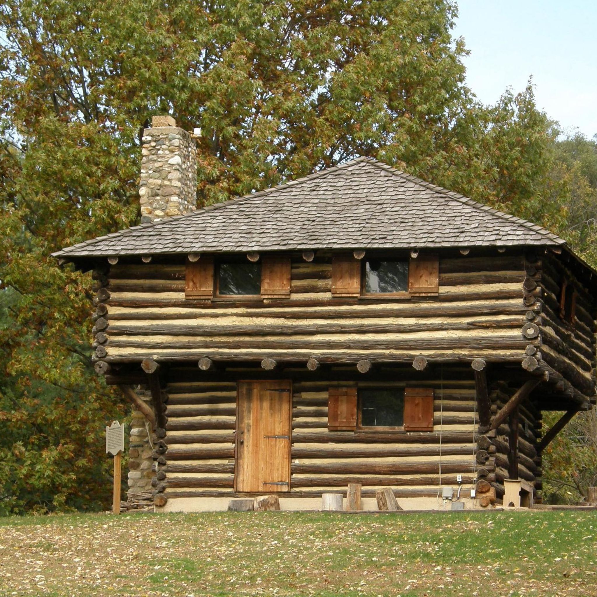


Tips from the Community

At just under 5 miles in total length, the Cattail Trail is a popular paved path traveling through West Lafayette. The path is popular for biking, running, and walking, and it connects to a bunch of the other paths, trails, parks, and woods around town and around campus.
0
0
At just under 5 miles in total length, the Cattail Trail is a popular paved path traveling through West Lafayette. The path is popular for biking, running, and walking, and it connects to a bunch of the other paths, trails, parks, and woods around town and around campus.
0
0
Black Rock Nature Preserve contains sandstone barrens, bedrock, and cliffs that can be seen on a super short nature trail. This interpretive trail is well-kept with a lot to see, but it isn't really a full-on "hike."
0
0
The John T. Meyers Pedestrian Bridge is a wide open bridge with picnic areas, open space, and views up and down the Wabash River. The bridge flows right into Tapawingo Park and connects both sides of the Wabash Heritage Trail.
0
0
Frequently Asked Questions
How many road cycling routes are available around Shadeland?
The Shadeland area offers a wide selection of road cycling routes, with over 30 routes available. These range from easy rides to more moderate challenges, ensuring options for various skill levels.
What is the typical difficulty and elevation gain for road cycling routes in Shadeland?
Most road cycling routes in Shadeland are considered easy, with 24 out of 31 routes falling into this category. There are also 7 moderate routes for those seeking a bit more challenge. While the region is generally flat, some routes, like the Cattail Trail – Happy Hollow Trail loop from Lafayette, can feature around 250 meters of elevation gain, offering varied terrain.
Are there any long-distance road cycling routes in the Shadeland area?
Yes, for cyclists looking for longer rides, routes like the Cattail Trail – Happy Hollow Trail loop from Lafayette cover approximately 62 kilometers. Another option is the Cattail Trail loop from Lafayette, which is about 52 kilometers long, providing ample distance for extended outings.
Can I find circular road cycling routes around Shadeland?
Many of the routes in the Shadeland area are designed as loops, perfect for circular rides. Examples include the Roadbike loop from Lafayette and the Roadbike loop from West Lafayette, allowing you to start and end at the same point.
What scenic views or landmarks can I expect to see along Shadeland's road cycling routes?
Road cycling routes in Shadeland often pass through scenic landscapes, including native plants and wildlife along the Fall Creek Trail and Greenway. You might also encounter natural features like Celery Bog, or trails such as the Cattail Trail and Wabash Heritage Trail. Fort Harrison State Park also offers diverse trails and natural beauty.
Are there family-friendly road cycling options in Shadeland?
Absolutely. The Fall Creek Trail and Greenway is a paved, gently curved path suitable for families, offering a safe and scenic environment. Many of the easy routes, such as the Roadbike loop from Lafayette, are also suitable for family outings, especially those looking for shorter distances.
Where can I find parking or trailheads for road cycling in Shadeland?
The Fall Creek Trail features several trailheads with seating, providing convenient access points. Fort Harrison State Park also offers various entry points with parking for its extensive trail network. For more detailed information on specific trailheads along the Fall Creek Trail, you can visit Indy.gov.
What do other road cyclists enjoy the most about road cycling in Shadeland?
The area is highly rated by the komoot community, with an average score of 4.3 stars from 5 reviews. Reviewers often praise the extensive trail networks, scenic greenways, and natural parks that define the cycling experience in Shadeland, offering options for both easy and more challenging rides.
What is the best time of year for road cycling in Shadeland?
While specific seasonal conditions can vary, the region's trails are generally enjoyable during spring, summer, and fall. These seasons offer pleasant weather for exploring the paved paths and greenways, with less concern for winter conditions. Always check local weather forecasts before heading out.
Are there any notable bridges or unique structures along the routes?
Yes, the area features interesting structures such as the John T. Myers Pedestrian Bridge, which can be a point of interest on some routes. Additionally, trails like the Peter's Mill Bridge Trail in the Jerry E. Clegg Botanical Garden offer unique crossings and scenic spots.
How long do road cycling routes in Shadeland typically take to complete?
The duration of routes varies depending on their length and your pace. For instance, an easy route like the Roadbike loop from Lafayette, which is about 33.8 km, typically takes around 1 hour and 34 minutes. Longer routes, such as the 62.2 km Cattail Trail – Happy Hollow Trail loop from Lafayette, can take approximately 2 hours and 36 minutes.
Most popular routes around Shadeland
Most popular attractions around Shadeland

Get inspired with the komoot mobile app


Explore more
Browse the best Road cycling routes in other regions.
