The best road cycling routes around West Lafayette
4.3
(7)
265
riders
16
rides
Road cycling around West Lafayette features a network of paved trails and dedicated bicycle lanes, providing diverse options for cyclists. The landscape is characterized by the Wabash River, wetlands like the Celery Bog Nature Area, and areas with gentle rolling hills. The city has developed infrastructure to support cycling, offering accessible routes through natural settings and urban areas.
Best road cycling routes around West Lafayette
- The most popular road cycling route is Celery Bog – Cattail Trail loop from Samara…
Last updated: May 16, 2026
22
riders
67.5km
03:07
310m
310m
Moderate road ride. Good fitness required. Some segments of this route may be unpaved and difficult to ride.
19
riders
37.6km
01:56
150m
150m
Easy road ride. Great for any fitness level. Mostly well-paved surfaces and easy to ride.

Sign up for free
12
riders
23.7km
01:02
110m
110m
Easy road ride. Great for any fitness level. Mostly well-paved surfaces and easy to ride.
4.0
(2)
12
riders
20.8km
01:16
90m
90m
Easy road ride. Great for any fitness level. Mostly well-paved surfaces and easy to ride.
3
riders
57.4km
02:32
290m
290m
Moderate road ride. Good fitness required. Mostly well-paved surfaces and easy to ride.
Get access to more routes and recommendations from other explorers.
Sign up for free
Already have an account?
Our route recommendations are based on thousands of hikes, rides, and runs completed by other people on komoot.
Start today with a free account
Your next adventure awaits.
Login or Signup
Popular around West Lafayette
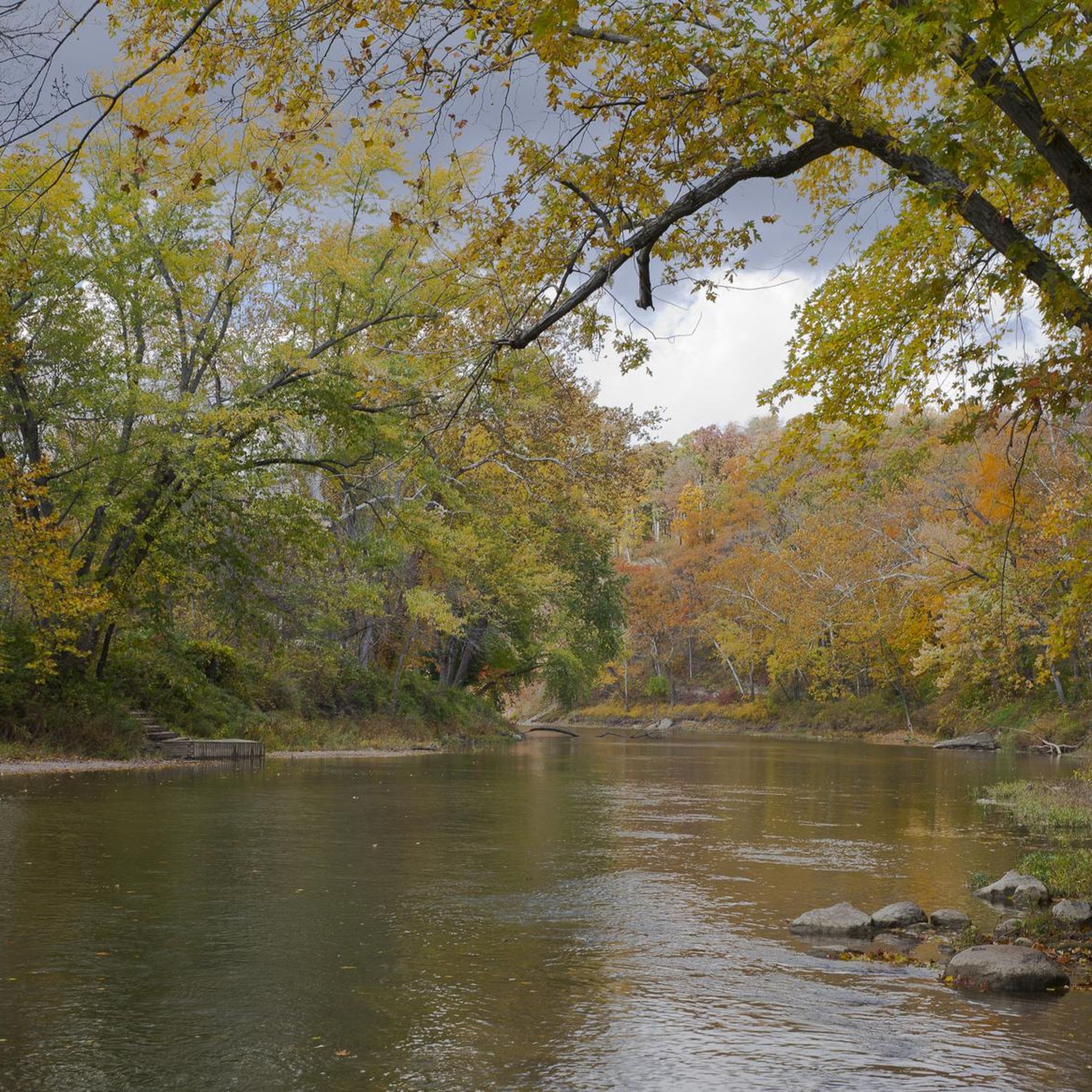
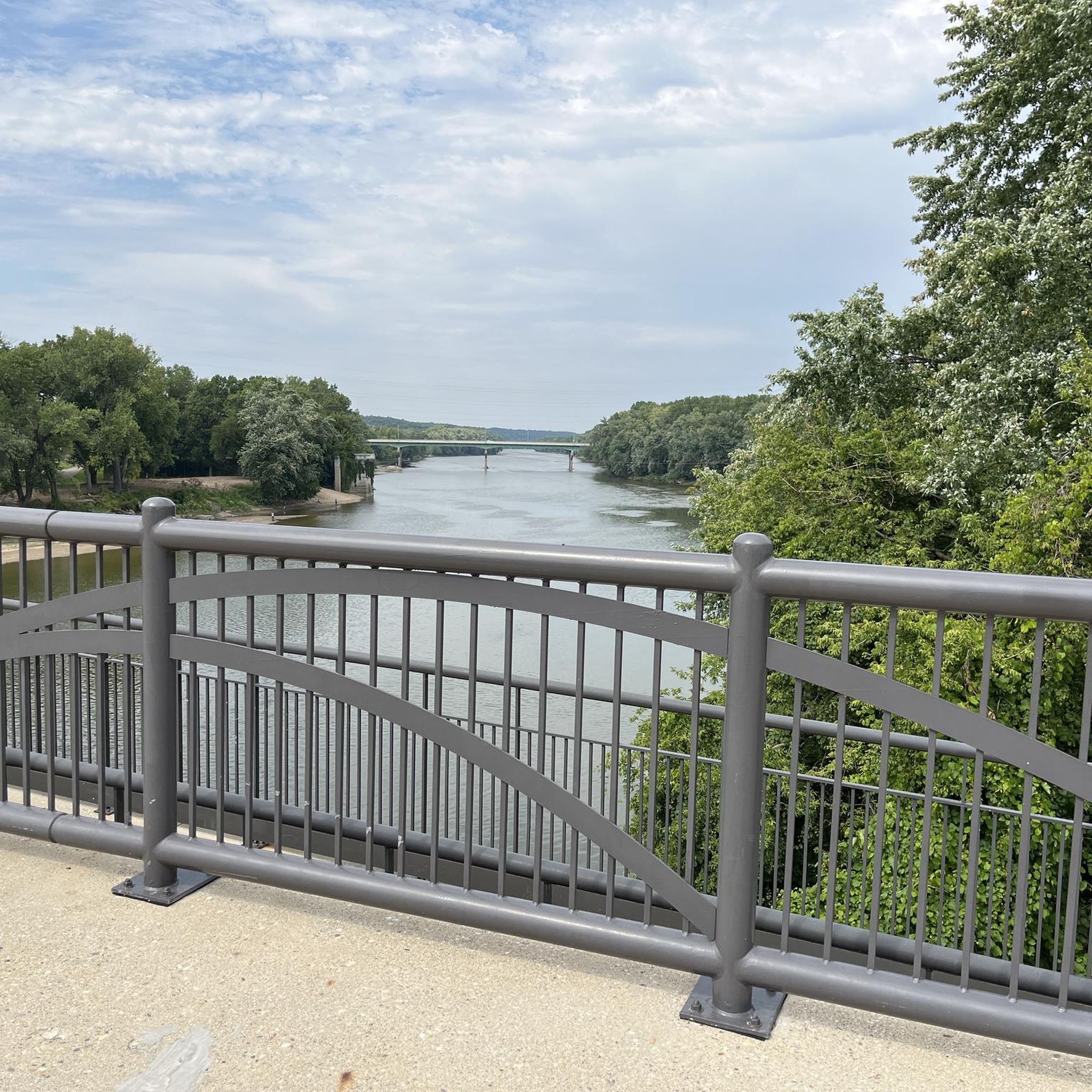
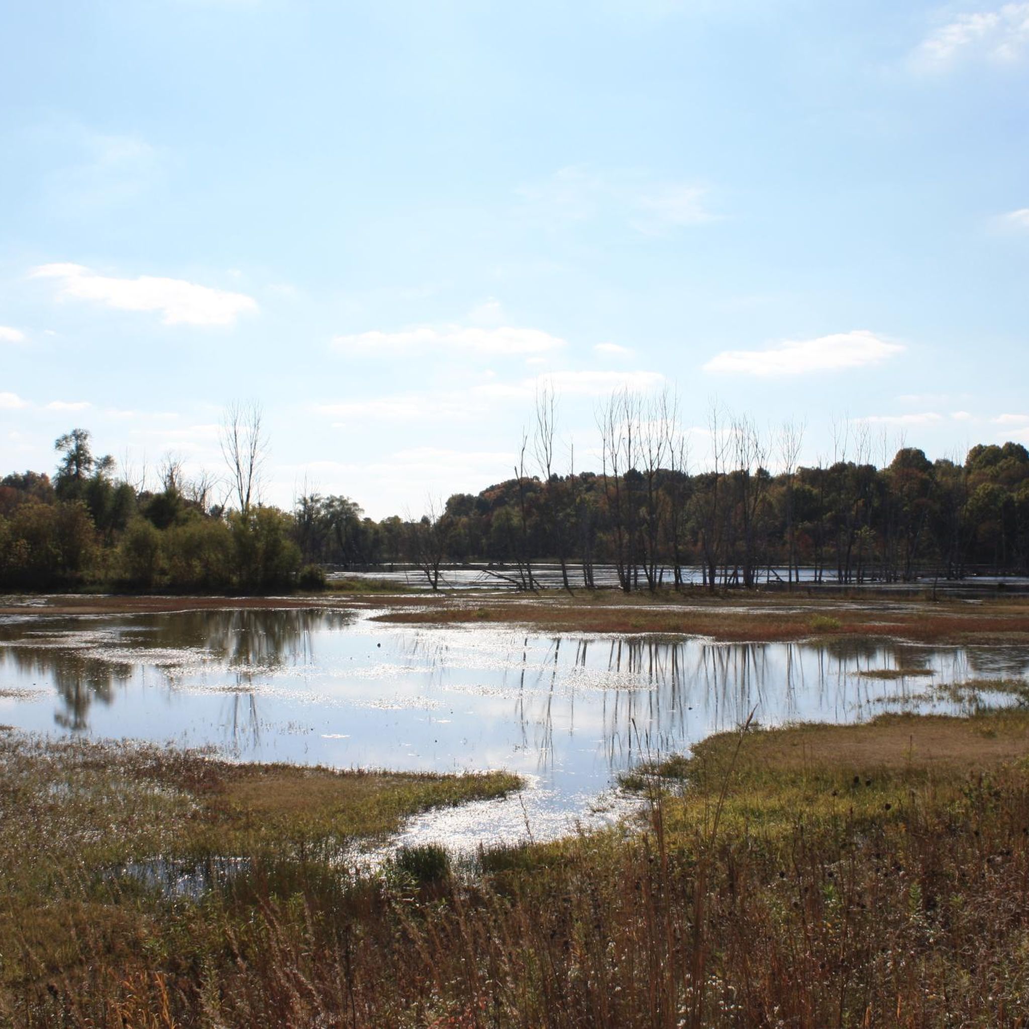
Tips from the Community

This park commemorates the 1811 Battle of Tippecanoe. In addition to the grounds there is a museum which has no entry fee.
2
0

At just under 5 miles in total length, the Cattail Trail is a popular paved path traveling through West Lafayette. The path is popular for biking, running, and walking, and it connects to a bunch of the other paths, trails, parks, and woods around town and around campus.
0
0
Celery Bog is a sanctuary for over 120 species of birds as well as dozens of species of mammals, reptiles, and amphibians. The Lilly Nature Center on site offers varied exhibits and programs throughout the year.
1
0
Celery Bog has a number of looks depending on the time of year. There are actually a few different pools on the property, and each has its own moodiness. It's worth checking them all out, but by far the biggest is the first one that you can actually see from the road.
0
0
The Cattail Trail stretches nearly 5 miles across West Lafayette through a network of disconnected paths. This section next to the Celery Bog Nature Area offers views of the water and access to the other trails on the property.
0
0
At just under 5 miles in total length, the Cattail Trail is a popular paved path traveling through West Lafayette. The path is popular for biking, running, and walking, and it connects to a bunch of the other paths, trails, parks, and woods around town and around campus.
0
0
Black Rock Nature Preserve contains sandstone barrens, bedrock, and cliffs that can be seen on a super short nature trail. This interpretive trail is well-kept with a lot to see, but it isn't really a full-on "hike."
0
0
The Black Rock Barrens Nature Preserve contains siltstone barrens along with a variety of forests. It is a small nature preserve and a lot of the spur trails on the property have become overgrown, but the main trail loop remains a wilderness getaway.
0
0
Frequently Asked Questions
What kind of terrain can I expect on road cycling routes around West Lafayette?
Road cycling in West Lafayette offers a mix of landscapes. You'll find extensive paved trails, dedicated bicycle lanes, and routes that follow the scenic Wabash River. The area also features natural wetlands, such as the Celery Bog Nature Area, and some routes include gentle rolling hills, providing varied terrain for cyclists.
Are there family-friendly road cycling routes in West Lafayette?
Yes, West Lafayette offers several family-friendly options. The Cattail Trail, for instance, is a paved route suitable for various fitness levels. Many of the routes, like the easy Roadbike loop from West Lafayette, have minimal elevation gain, making them ideal for a relaxed ride with family.
What are some notable natural attractions I can see while road cycling in West Lafayette?
You can explore several natural attractions. The Celery Bog Nature Area is a 195-acre wetland rich in wildlife, perfect for birdwatching. The Cattail Trail offers scenic views through West Lafayette, and portions of the Wabash Heritage Trail follow the river through marshes and wooded areas.
What is the best time of year for road biking in West Lafayette?
The best seasons for road biking in West Lafayette are typically spring, summer, and fall. These months offer pleasant weather conditions for exploring the paved trails and scenic routes. Always check local weather forecasts, especially after rain, as trail conditions can vary.
Are there any specific permits required for road cycling on trails in West Lafayette?
Generally, no specific permits are required for recreational road cycling on the paved trails and bicycle lanes in West Lafayette. However, it's always a good idea to check for any specific regulations if you plan to venture into state parks or nature preserves, as rules can vary.
Where can I find parking for road cycling routes in West Lafayette?
Parking is available at various access points for popular trails. For example, the Celery Bog Nature Area and Cattail Trail typically have designated parking lots. You can also find parking near parks like Happy Hollow Park, which offers paved paths and connects to the broader cycling network.
What are the difficulty levels of road cycling routes in West Lafayette?
West Lafayette offers routes for various skill levels. Many routes are classified as 'easy,' such as the Cattail Trail – Cattail Trail loop from West Lafayette, which is suitable for a relaxed ride. There are also 'moderate' routes, like the longer Celery Bog – Cattail Trail loop from Samara, which covers a greater distance and may have more varied terrain.
Can I bring my dog on road cycling trails in West Lafayette?
While many outdoor areas in West Lafayette are dog-friendly, specific rules for cycling trails can vary. Generally, dogs on leashes are permitted in most parks and on paved trails like the Cattail Trail. However, it's always best to check the specific regulations for each trail or park you plan to visit, especially within nature preserves like Celery Bog, to ensure compliance.
Are there any cafes or pubs near the road cycling routes in West Lafayette?
West Lafayette, being a vibrant community with Purdue University, has various cafes and pubs. While specific establishments directly on the trails might be limited, you'll find options within easy reach of the urban sections of the cycling network, particularly around the university campus and downtown areas.
How many road cycling routes are available in West Lafayette?
There are over 15 road cycling routes available around West Lafayette, catering to different preferences and skill levels. These routes are highly rated by the komoot community, with an average score of 4.4 stars from over 6 reviews, and have been explored by more than 200 road cyclists.
What are some unique landmarks or points of interest along West Lafayette's cycling paths?
Beyond natural beauty, you can encounter landmarks like the John T. Myers Pedestrian Bridge, offering scenic views over the Wabash River. The Purdue University campus itself features several bikeway segments, and nearby, the Tippecanoe Battlefield is a national historic landmark with scenic trails.
What is the longest road cycling route in West Lafayette?
One of the longer road cycling routes is the Celery Bog – Cattail Trail loop from Samara, which spans approximately 41.9 miles (67.5 km). This route connects the extensive Celery Bog Nature Area with the Cattail Trail, offering a substantial ride through varied scenery.
Are there any loop routes for road cycling in West Lafayette?
Yes, many of the road cycling routes in West Lafayette are designed as loops, providing convenient starting and ending points. Examples include the Celery Bog – Celery Bog loop from Samara and the Celery Bog – Celery Bog loop from West Lafayette, allowing cyclists to return to their starting location without retracing their path.
Most popular routes around West Lafayette
Most popular attractions around West Lafayette

Get inspired with the komoot mobile app


Explore more
Browse the best Road cycling routes in other regions.
