The best road cycling routes around Limpurger Berge
4.5
(700)
7,577
riders
446
rides
Road cycling routes around Limpurger Berge traverse a diverse landscape characterized by gentle hills, dense forests, and expansive meadows. The region, part of the Swabian-Franconian Forest, features varied terrain with elevations reaching up to 564.7 meters above sea level, offering engaging routes with climbs and descents. It is framed by the Kocher valley to the south and west, and the Bühler valley to the east, providing picturesque routes along waterways. This area includes several protected zones, preserving its natural beauty.
…Last updated: July 5, 2026
5.0
(9)
130
riders
Moderate road ride. Good fitness required. Mostly well-paved surfaces and easy to ride.
5.0
(2)
98
riders
Moderate road ride. Good fitness required. Some segments of this route may be unpaved and difficult to ride.

Sign up for free
5.0
(4)
92
riders
60.6km
02:50
650m
650m
Moderate road ride. Good fitness required. Mostly well-paved surfaces and easy to ride.
5.0
(1)
61
riders
Moderate road ride. Good fitness required. Mostly well-paved surfaces and easy to ride.
49
riders
Moderate road ride. Good fitness required. Mostly well-paved surfaces and easy to ride.
Get access to more routes and recommendations from other explorers.
Sign up for free
Already have an account?
Our route recommendations are based on thousands of hikes, rides, and runs completed by other people on komoot.
Start today with a free account
Your next adventure awaits.
Login or Signup
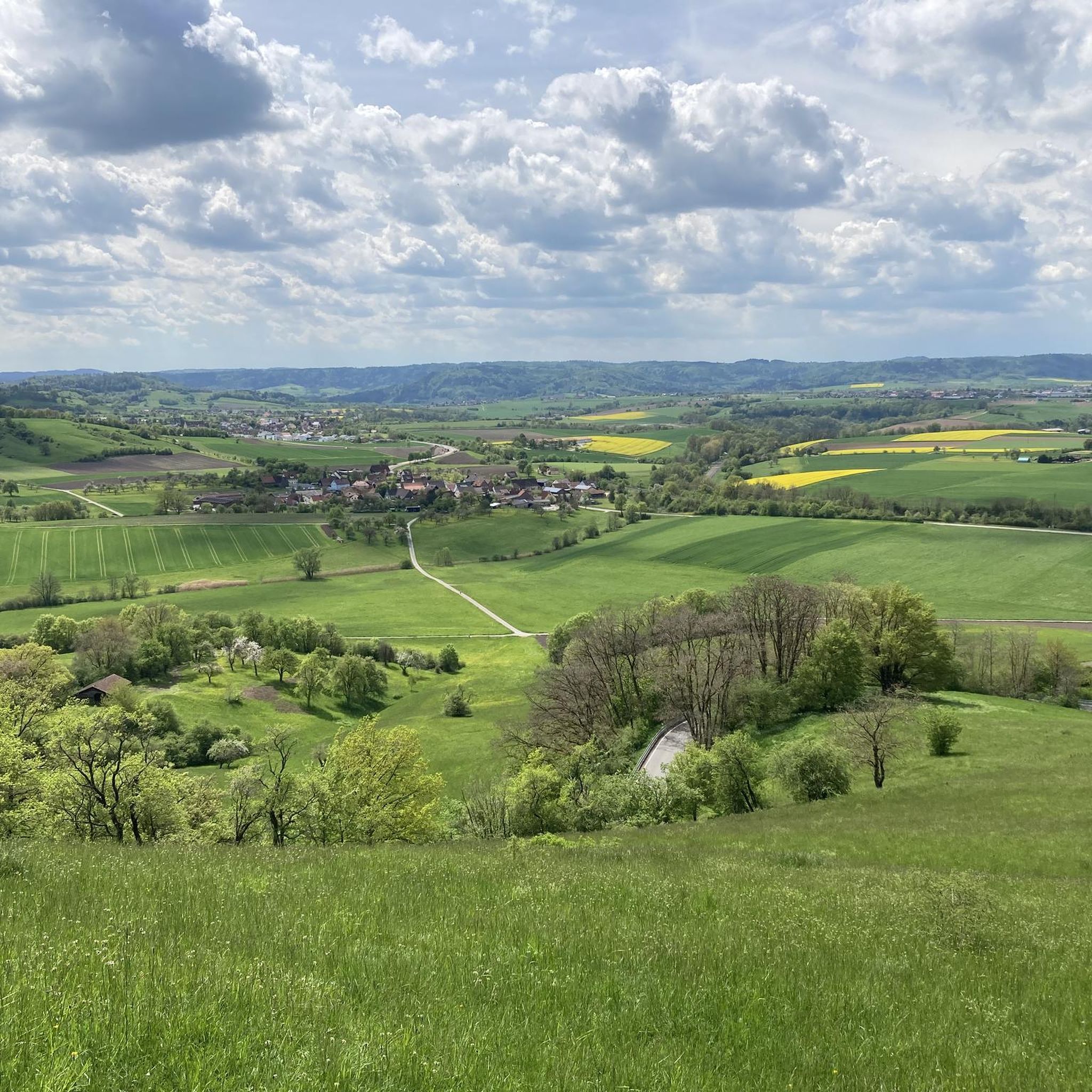
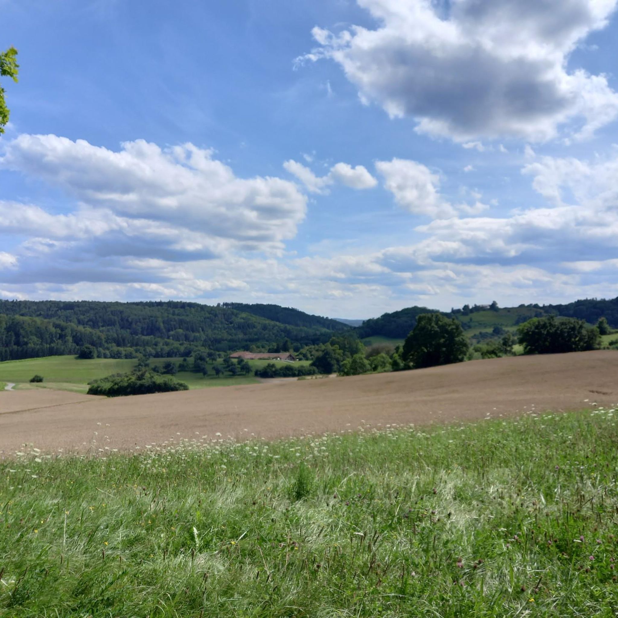
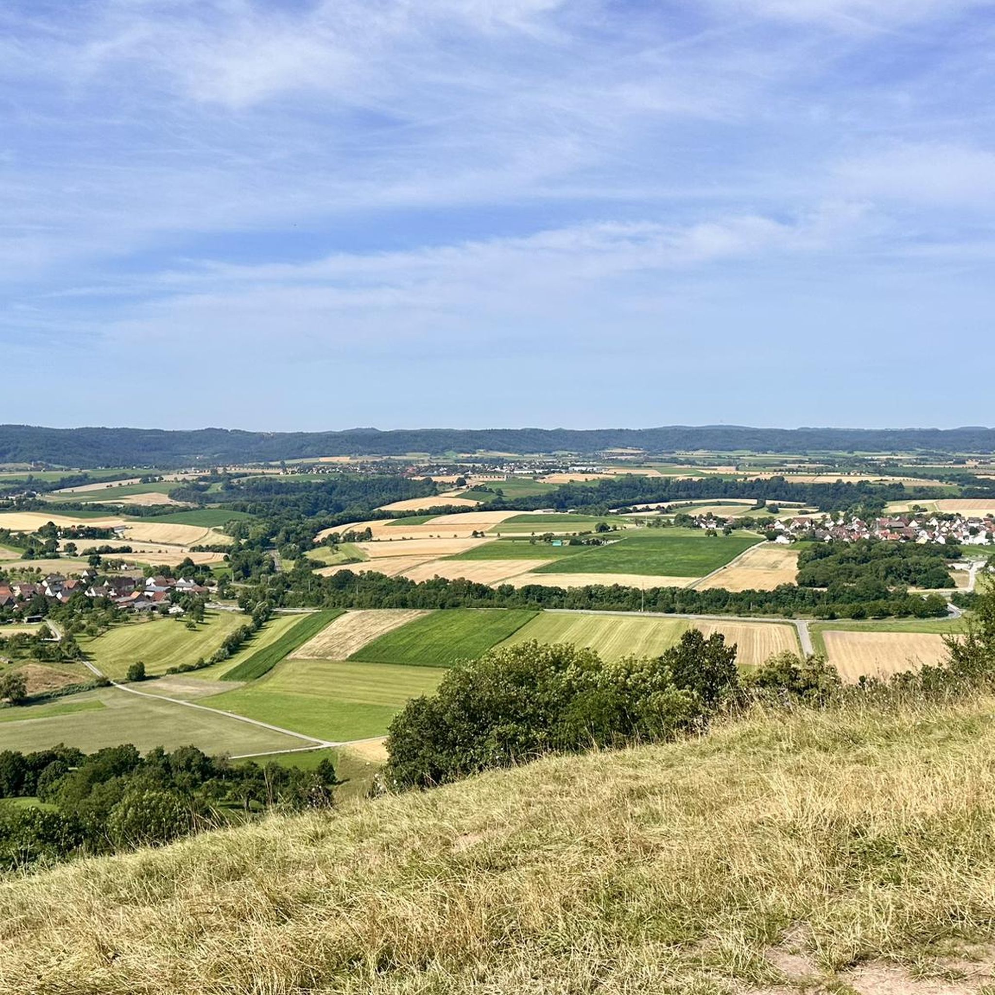
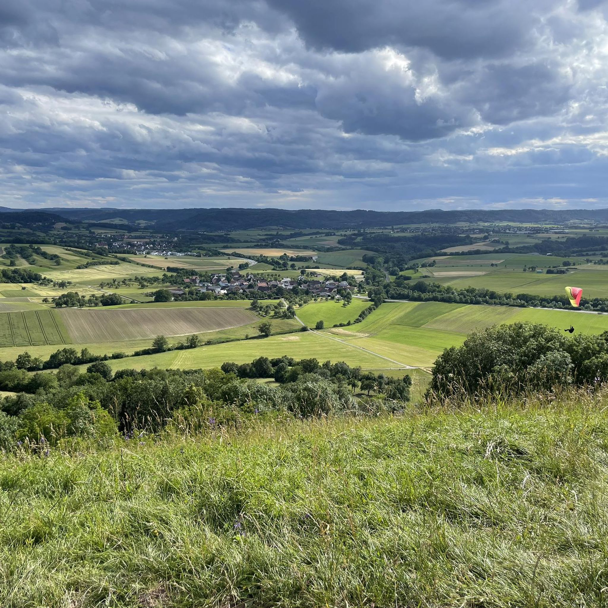

Tips from the Community

An impressive castle perched just above Untergröningen.
0
0

Waldenburg Castle sits majestically high above the Hohenlohe Plain, its walls, towers, and overall complex dominating the townscape. From the terraces and walls surrounding the castle, sweeping views of the landscape unfold – an impressive blend of history, architecture, and panorama, and one of the highlights of any tour around Waldenburg.
3
0

Beautiful view of the Kocher Valley towards Westheim
1
0

Here you can see the monastery Super
1
0

In the summer, we always get our drinking water there.
5
0


A large art market takes place there before Christmas.
2
1
Frequently Asked Questions
How many road cycling routes are available in Limpurger Berge?
The Limpurger Berge region offers a wide selection of road cycling routes, with over 450 tours available on komoot. This includes 65 easy routes, 293 moderate routes, and 97 difficult routes, catering to various skill levels.
What kind of terrain can I expect when road cycling in Limpurger Berge?
Road cycling in Limpurger Berge features a diverse landscape of gentle hills, dense forests, and expansive meadows. The region is part of the Swabian-Franconian Forest, characterized by varied terrain with elevations reaching up to 564.7 meters above sea level. You'll encounter engaging routes with both climbs and descents, often framed by picturesque river valleys like the Kocher and Bühler.
Are there routes with significant elevation gain in Limpurger Berge?
Yes, the Limpurger Berge offers routes with significant elevation gain, suitable for cyclists looking for a challenge. For example, the Bucher Reservoir – Forest Road near Kalkhöfe loop from Schwäbisch Hall-Hessental involves over 800 meters of ascent, providing a demanding ride through forested areas.
Which road cycling routes offer the best panoramic views in Limpurger Berge?
For stunning panoramic views, consider routes that pass by prominent hills and observation points. The Altenberg, the highest point at 564.7 meters, offers spectacular vistas from the Altenbergturm. The Einkorn, at 510.8 meters, also features an observation tower and ruins with views over the Hohenloher-Haller Ebene. You can explore the Einkorn Observation Tower or the Einkorn Ruins and Viewpoint.
What attractions can I see along road cycling routes in Limpurger Berge?
Many routes in Limpurger Berge pass by interesting natural and historical attractions. You might encounter the Einkorn Observation Tower, the serene Haspel Lake, or the tranquil Bombensee. The region also has historical significance, with remnants like Limpurg Castle and the charming town of Gaildorf with its castle and half-timbered houses.
Are there family-friendly road cycling routes in Limpurger Berge?
While many routes involve climbs, there are 65 easy road cycling routes in Limpurger Berge that could be suitable for families, depending on their experience level. These routes typically feature less elevation gain and shorter distances, offering a more relaxed cycling experience through the scenic landscape.
What do other road cyclists think about the routes in Limpurger Berge?
The road cycling routes in Limpurger Berge are highly regarded by the komoot community, holding an average rating of 4.6 stars from over 600 reviews. More than 7,700 road cyclists have used komoot to explore the region, often praising the diverse terrain, scenic views, and well-maintained paths.
Are there circular road cycling routes available in Limpurger Berge?
Yes, many road cycling routes in Limpurger Berge are designed as loops, offering convenient circular tours. An example is the Waldenburg Castle – Kochertal Bridge loop from Schwäbisch Hall-Hessental, which provides a varied experience without needing to retrace your path.
Where can I find parking for road cycling routes in Limpurger Berge?
Many road cycling routes in Limpurger Berge start from towns and villages like Schwäbisch Hall-Hessental, which typically offer public parking facilities. It's advisable to check local parking options in your chosen starting location before your ride.
Can I reach road cycling routes in Limpurger Berge using public transport?
Yes, starting points like Schwäbisch Hall-Hessental are accessible by public transport, including train services. This allows cyclists to reach the region and begin their tours without needing a car, though it's always recommended to check specific public transport schedules and bike carriage policies in advance.
What is the best time of year for road cycling in Limpurger Berge?
The Limpurger Berge region is generally pleasant for road cycling from spring through autumn. During these seasons, the weather is typically mild, and the natural landscapes, including dense forests and meadows, are at their most vibrant. Always check the local weather forecast before heading out.
Are there any historical sites to explore while road cycling in Limpurger Berge?
The region is rich in history. You can find historical remnants such as the Burgstall Alt-Limpurg, the ancestral home of the Schenken von Limpurg family, and the Pilgrimage Church of St. Peter and Paul. The town of Gaildorf also offers charming parks and well-preserved half-timbered houses, providing cultural interest during your ride.
Most popular routes around Limpurger Berge
Most popular attractions around Limpurger Berge

Get inspired with the komoot mobile app


Explore more
Browse the best Road cycling routes in other regions.
