The best cycling routes around Hochholz
4.5
(5907)
35,388
riders
1,148
rides
Touring cycling routes around Hochholz, located in Baden-Württemberg, Germany, offer a diverse landscape for outdoor activities. The region, situated at an elevation of 331 meters, features a mix of dense forests, rolling hills, and meadows. Cyclists can explore picturesque river and meadow landscapes, as well as areas with orchards, juniper heaths, and vineyards. This environment is integrated into Baden-Württemberg's extensive cycling infrastructure, providing numerous well-signposted routes.
Best touring cycling routes around Hochholz
- The most popular touring cycling route is Bronner…
Last updated: October 8, 2026
37
riders
Easy bike ride. Great for any fitness level. Mostly paved surfaces. Suitable for all skill levels.
4.5
(2)
24
riders
34.6km
02:17
310m
310m
Moderate bike ride. Good fitness required. Mostly paved surfaces. Suitable for all skill levels.

3.0
(1)
10
riders
7.12km
00:31
10m
10m
Easy bike ride. Great for any fitness level. Mostly paved surfaces. Suitable for all skill levels.
4.0
(4)
52
riders
13.1km
00:44
20m
20m
Easy bike ride. Great for any fitness level. Mostly paved surfaces. Suitable for all skill levels.
4.3
(4)
47
riders
Easy bike ride. Great for any fitness level. Mostly paved surfaces. Suitable for all skill levels.
Get access to more routes and recommendations from other explorers.
Already have an account?
Our route recommendations are based on thousands of hikes, rides, and runs completed by other people on komoot.
Start today with a free account
Your next adventure awaits.
Tips from the Community

A great and idyllic cycle path
0
0

Wide open panoramic view over the Kraichgau landscape. Worth a short stop to take it all in — especially beautiful on clear days with visibility across the rolling farmland.
0
0

Update February 2026: there are now two paths! One to the left and one to the right along the stream. Both can be used at your own risk.
0
0

Just outside the center is the historic Baumkelter wine press. 👍
0
0


Beautiful bicycle bridges with square trees
0
0
Beautiful bridges
0
0

Wow, so much to keep in mind. Cycling and running are still permitted.
0
0
Frequently Asked Questions
What kind of terrain can I expect on touring cycling routes around Hochholz?
The Hochholz region, situated in Baden-Württemberg, offers a diverse landscape for touring cyclists. You can expect a mix of dense forests, rolling hills, and meadows. Many routes feature picturesque river and meadow landscapes, and some areas include orchards, juniper heaths, and vineyards, providing varied scenery throughout your ride.
Are there touring cycling routes suitable for beginners or families in Hochholz?
Yes, Hochholz offers numerous easy touring cycling routes perfect for beginners and families. For example, the Bronner Bridge Cycle Path – Leimbachdamm Cycle Path loop from Walldorf is an easy 13.5-mile (21.7 km) trail that follows scenic waterways. Another great option is the Hochholzer Lake – Hochholz Forest Lake loop from Walldorf, a shorter 3.6-mile (5.8 km) route through the lake area and surrounding forest.
What are some longer or more challenging touring cycling options in the area?
For those seeking a more challenging ride, the Südsteinbruchweg Trail – View of Kraichgau loop from St. Leon-Rot is a moderate 21.4-mile (34.4 km) path. This route offers varied terrain and scenic views of the Kraichgau region. Overall, there are 316 moderate and 122 difficult touring cycling routes available in Hochholz for experienced cyclists.
What kind of attractions or points of interest can I find along the touring cycling routes?
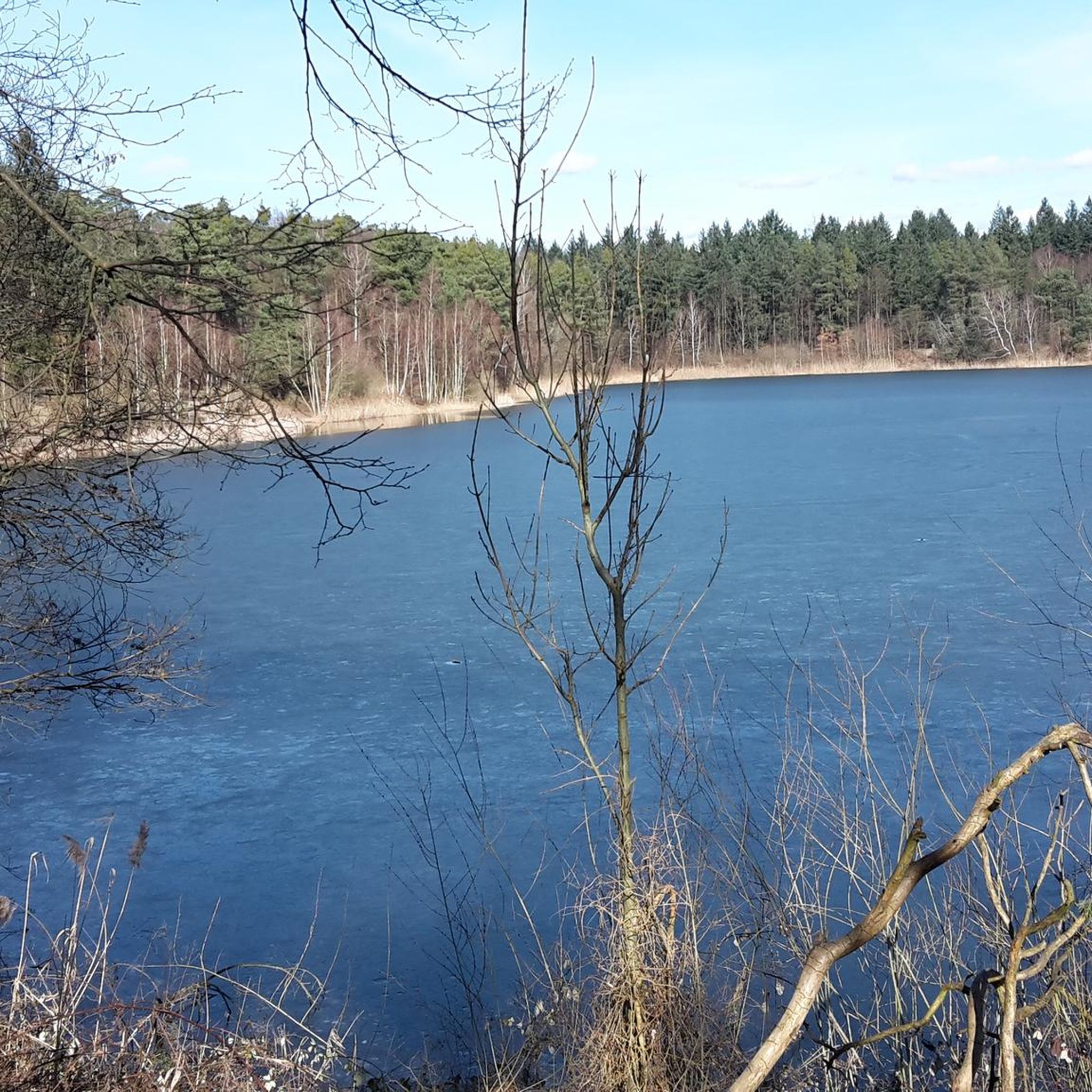
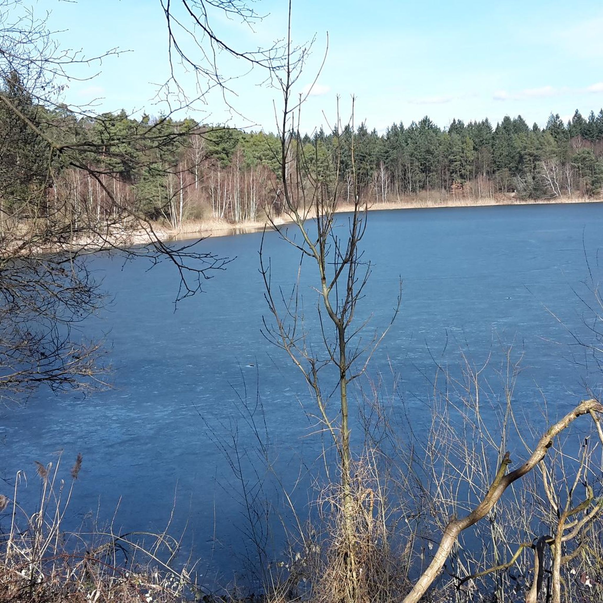
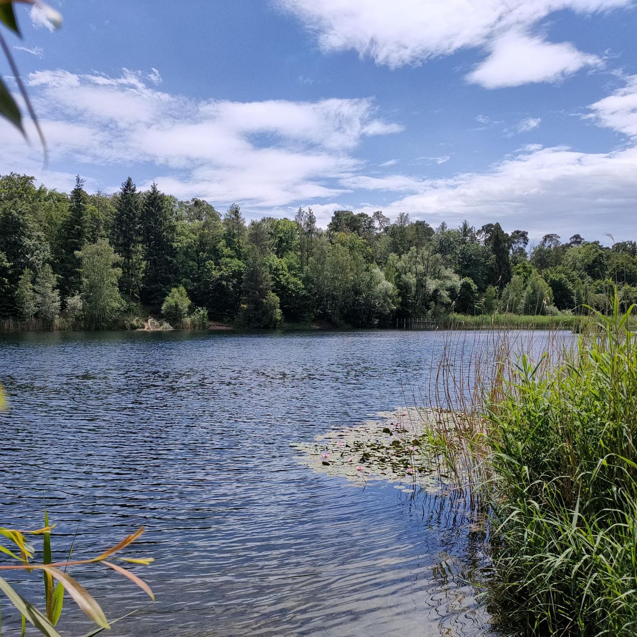
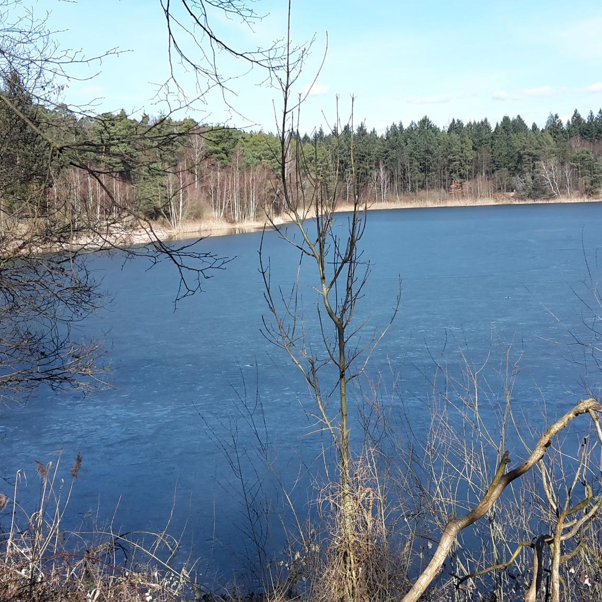
Many touring cycling routes in Hochholz pass by interesting natural and man-made attractions. You can explore places like Hochholzer Lake, the Planet Trail Schillerschule Walldorf, or the historic Dreimarkstein and boundary stone with boundary ditches. The region's extensive cycling network often connects significant tourist attractions, including picturesque cultural landscapes, wine regions, and historic towns.
Are there any circular touring cycling routes in Hochholz?
Yes, many touring cycling routes in Hochholz are designed as loops, allowing you to start and end at the same point. Examples include the Bridge Over the Kraichbach – Beer garden at the mini-golf course loop from Walldorf, which is an easy 13.1-mile (21.1 km) ride, and the Bridge Over the Kraichbach – Beer garden at the mini-golf course loop from St. Leon-Rot, an 8.3-mile (13.3 km) easy route.
What do other touring cyclists say about the routes in Hochholz?
The touring cycling routes in Hochholz are highly regarded by the komoot community, with an average rating of 4.5 stars from over 4,500 reviews. Cyclists often praise the varied terrain, well-maintained paths, and the beautiful natural scenery, including dense forests, rolling hills, and river landscapes.
When is the best time of year to go touring cycling in Hochholz?
The varied terrain and natural beauty of Hochholz make it suitable for touring cycling during much of the year. Spring, summer, and early autumn generally offer the most pleasant weather conditions for exploring the region's forests, meadows, and river landscapes. Always check local weather forecasts before heading out.
How extensive is the cycling network around Hochholz?
Hochholz benefits from being part of Baden-Württemberg's extensive cycling infrastructure, which boasts over 5,000 kilometers of cycling paths. This robust network includes numerous well-signposted long-distance routes, ensuring a wide variety of options for touring cyclists of all levels.
Is it possible to reach the touring cycling routes by public transport?
Baden-Württemberg has a well-developed public transport network. While specific connections to every trailhead in Hochholz may vary, many towns and starting points for cycling routes are accessible by regional trains and buses. It's advisable to check local public transport schedules and bike carriage policies for your specific starting location.
Are there facilities like cafes or restaurants along the routes for breaks?
The region's cycling infrastructure often includes opportunities for scenic breaks. Many routes pass through or near villages and towns where you can find cafes, restaurants, and bike-friendly accommodations. The Bridge Over the Kraichbach – Beer garden at the mini-golf course loop from Walldorf, for instance, explicitly mentions a beer garden, indicating such facilities are available.
Where can I find more information about cycling in Baden-Württemberg?
For broader information about cycling opportunities and planning tools across the entire Baden-Württemberg region, you can visit the official tourism website: Cycling in Baden-Württemberg or use their Tour Planner.
Most popular routes around Hochholz
Most popular attractions around Hochholz

Get inspired with the komoot mobile app


Explore more
Browse the best Cycling routes in other regions.
