The best road cycling routes around Rammert
4.5
(1937)
25,855
riders
447
rides
Road cycling around Rammert offers a diverse landscape of forested ridges and valleys within the Keuper Uplands. The region features undulating topography, with elevations reaching up to 590 meters, providing both challenging climbs and scenic routes. Predominantly covered in beech, spruce, and oak forests, the area also includes agricultural lands and orchards along the Neckar, Steinlach, and Starzel river valleys. This varied terrain caters to road cyclists seeking different experiences, from gradual inclines to steeper ascents.
Best road cycling routes…
Last updated: October 2, 2026
4.8
(70)
599
riders
Moderate road ride. Good fitness required. Mostly well-paved surfaces and easy to ride.
4.6
(37)
402
riders
58.4km
02:29
400m
400m
Moderate road ride. Good fitness required. Mostly well-paved surfaces and easy to ride.

4.3
(10)
165
riders
Easy road ride. Great for any fitness level. Mostly well-paved surfaces and easy to ride.
5.0
(1)
47
riders
84.4km
03:53
790m
790m
Moderate road ride. Good fitness required. Mostly well-paved surfaces and easy to ride.
4.8
(5)
56
riders
Easy road ride. Great for any fitness level. Mostly well-paved surfaces and easy to ride.
Get access to more routes and recommendations from other explorers.
Already have an account?
Our route recommendations are based on thousands of hikes, rides, and runs completed by other people on komoot.
Start today with a free account
Your next adventure awaits.
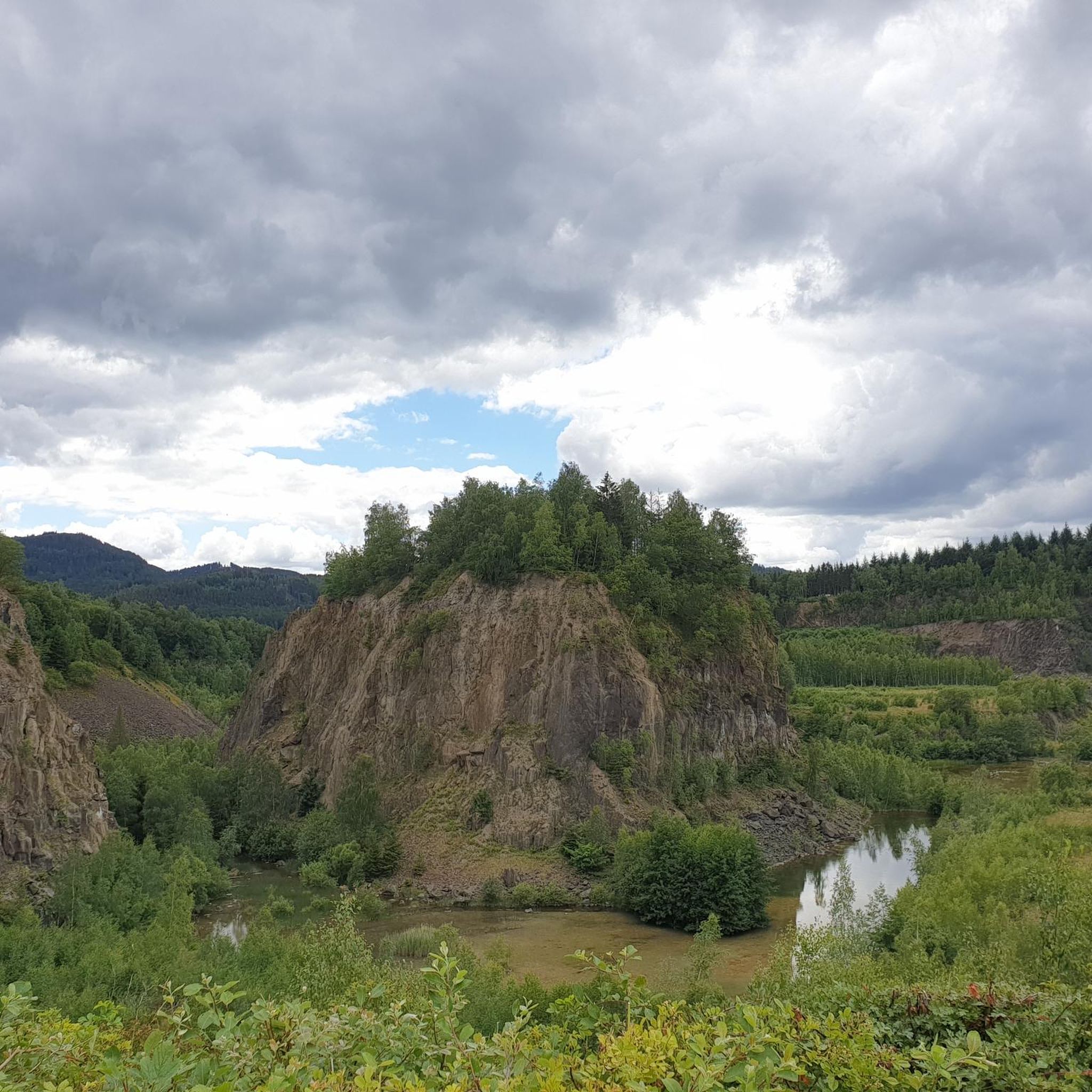
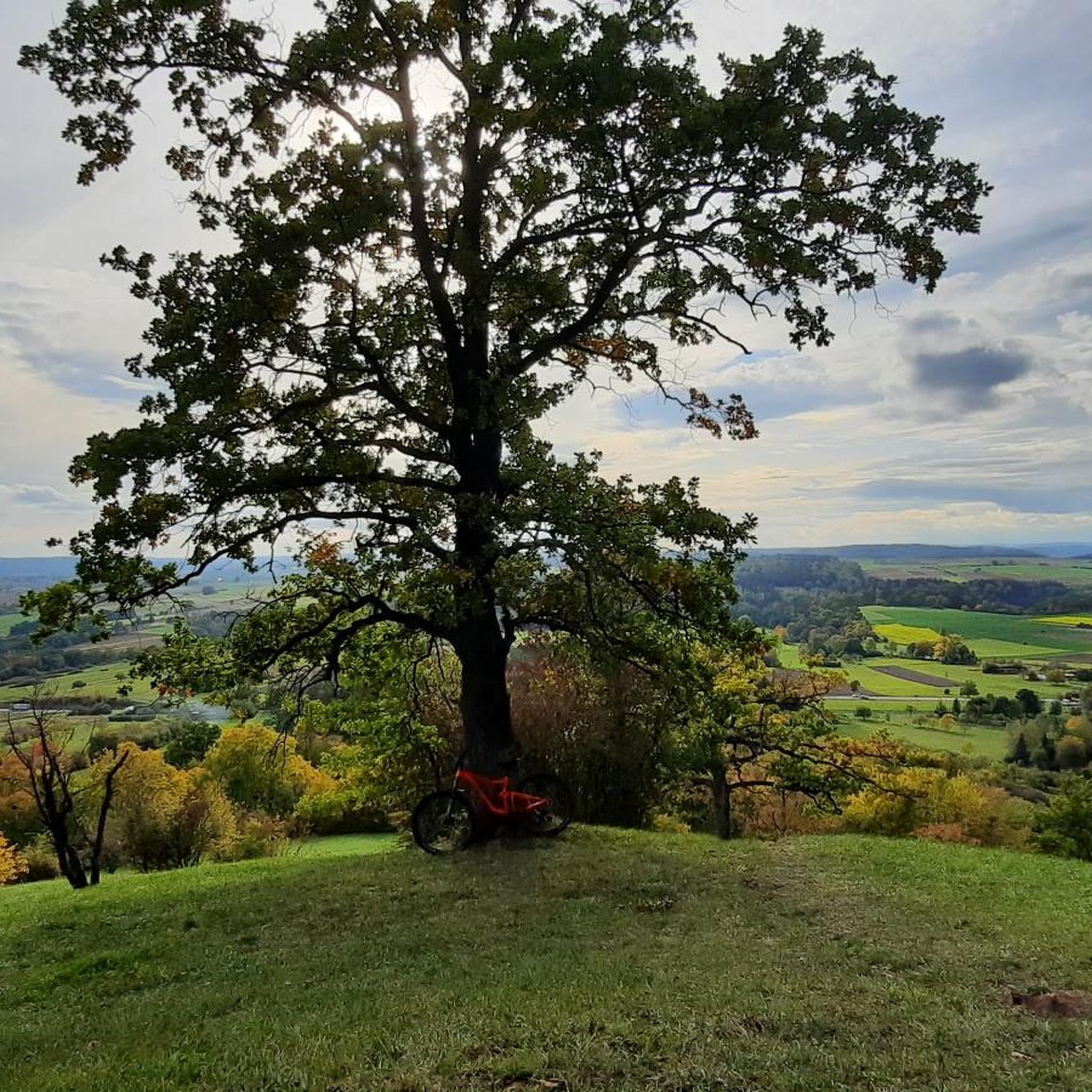
Other adventures around Rammert

Tips from the Community

unfortunately it is often used as a shortcut by cars, which often push past with very little side clearance, (on weekends not as often as on weekdays).
0
0

Right next to the monastery, the cycle path passes the former mill. Here you can closely examine the old mill wheel from 1898. It has a diameter of 5.20m and 36 paddles. The paddle width is 2.30m. Two benches are available in front of the mill wheel.
6
0

Wonderful view in a quiet atmosphere
0
0

Relaxed route to Oberndorf
0
0

the fastest bike path from Tübingen to Entringen, as far away from the federal highway as possible...
0
0
The Wurmlinger Kapelle is visible from afar. Whether from the Ammertal or from the Hirschauer Baggerseen, it looks good from all sides.
6
0
Probably the most beautiful part on the Ammer. From St. Stephanus Church to Poltring Water Castle. Whether horses, llamas or water rats, everything frolics here
6
0

Cycle path between B27 and Steinlach 🌊 - Tübingen-Derendingen - Tübingen district
0
0
Frequently Asked Questions
How many road cycling routes are available in the Rammert region?
The Rammert region offers over 450 road cycling routes, catering to various skill levels. You'll find a diverse mix of easy, moderate, and difficult trails to explore, ensuring there's something for every cyclist.
What kind of terrain can I expect when road cycling in Rammert?
Road cycling in Rammert features an undulating topography with extensive forested ridges and valleys. You'll encounter both challenging climbs and scenic descents, with elevations reaching up to 590 meters. The routes are predominantly on paved surfaces, offering a smooth ride through beech, spruce, and oak forests, as well as agricultural lands along the Neckar, Steinlach, and Starzel river valleys.
Are there any notable landmarks or viewpoints along the road cycling routes in Rammert?
Yes, a significant landmark is the Wurmlinger Kapelle, perched on a hilltop, offering breathtaking 360-degree panoramic views of the Ammertal valley, Schönbuch Nature Park, Neckar valley, and the distant Swabian Alb. Many routes, like the View of Wurmlinger Chapel – Neckar Cycle Path loop from Tübingen-Derendingen, incorporate this iconic chapel. You can also find other viewpoints such as View of Dettingen and Hohenzollern Castle from Rappenberg.
What are the difficulty levels of road cycling routes in Rammert?
The Rammert region provides a range of difficulty levels. You'll find over 100 easy routes, more than 200 moderate routes, and over 120 difficult routes. This variety ensures that both beginners and experienced road cyclists can find suitable challenges, from gradual inclines to steeper ascents.
Are there any family-friendly road cycling options in Rammert?
While Rammert's terrain includes significant elevation changes, there are over 100 easy road cycling routes available. These routes often follow flatter sections along river valleys, such as the Cycle Path on the Neckar near Tübingen – Cycle Path Along the B27 loop from Tübingen-Derendingen, which are more suitable for families or those seeking a less strenuous ride.
What do other road cyclists enjoy most about cycling in Rammert?
The Rammert region is highly rated by the komoot community, with an average score of 4.6 stars from over 1,500 reviews. Cyclists often praise the diverse landscapes, the mix of challenging climbs and scenic routes, and the well-maintained paved surfaces that make for an enjoyable ride through the extensive forests and river valleys.
Can I find circular road cycling routes in Rammert?
Yes, many of the road cycling routes in Rammert are designed as loops, allowing you to start and end at the same point. Examples include the View of Wurmlinger Chapel – Neckar Cycle Path loop from Tübingen-Derendingen and the Neckar Riverfront, Tübingen – View of Bebenhausen Monastery loop from Tübingen-Derendingen, providing convenient options for exploring the region.
What natural features can I discover while cycling in Rammert?
The Rammert is characterized by its dense forests of beech, spruce, Scots pine, and oak, creating a lush environment. You'll also encounter deeply incised stream valleys and agricultural lands on the fringes. Protected landscapes like the 'Rammert' and 'Rauher Rammert' areas, along with the 'Mittlerer Rammert' bird sanctuary, highlight the region's ecological value. You might also discover natural monuments like the Jesuitenbrünnele or Schilling's Giant Sequoia.
Are there any places to stop for refreshments or rest along the routes?
While specific cafes or pubs directly on every route are not listed, the region around Rammert, particularly near towns like Tübingen, offers various options for refreshments. You can also find several huts and shelters, such as the Dünnbach hut or Saustall Hut — Stone Shelter, which provide spots for a break.
What is the best time of year for road cycling in Rammert?
The Rammert region is enjoyable for road cycling through much of the year. Spring and autumn offer pleasant temperatures and beautiful scenery with changing foliage. Summer provides longer daylight hours, though some routes might be more exposed to sun. While winter cycling is possible, be mindful of colder temperatures and potential icy conditions on less-trafficked roads.
Are there any routes that offer views of other significant regional sights?
Absolutely. Beyond the Wurmlinger Kapelle, routes like the Neckar Riverfront, Tübingen – View of Bebenhausen Monastery loop from Tübingen-Derendingen combine urban scenery along the Neckar Riverfront in Tübingen with views towards the historic Bebenhausen Monastery. You can also find routes that pass by historical sites like Weilerburg (Weiler Castle).
How long are the road cycling routes in Rammert typically?
The routes in Rammert vary significantly in length. You can find shorter, easier loops like the Cycle Path on the Neckar near Tübingen – Kressbach Climb loop from Tübingen-Derendingen, which is about 16.9 km. Longer routes, such as the View of the Gäu – View of Emmingen loop from Tübingen-Derendingen, can extend up to 86 km, offering options for both quick rides and full-day excursions.
Most popular routes around Rammert
Most popular attractions around Rammert

Get inspired with the komoot mobile app


Explore more
Browse the best Road cycling routes in other regions.
