The best MTB trails around Hollener Heide
4.3
(11)
41
riders
13
rides
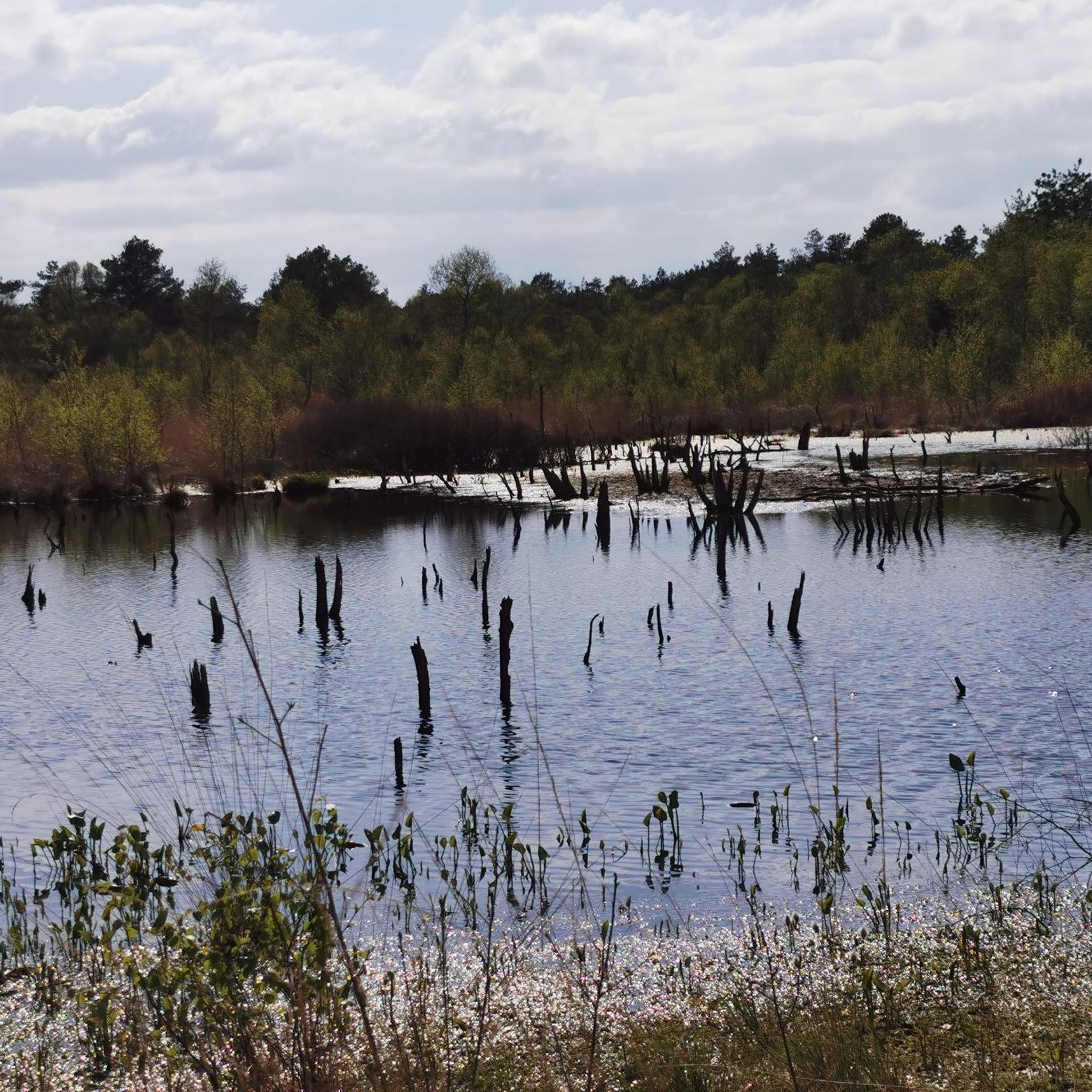
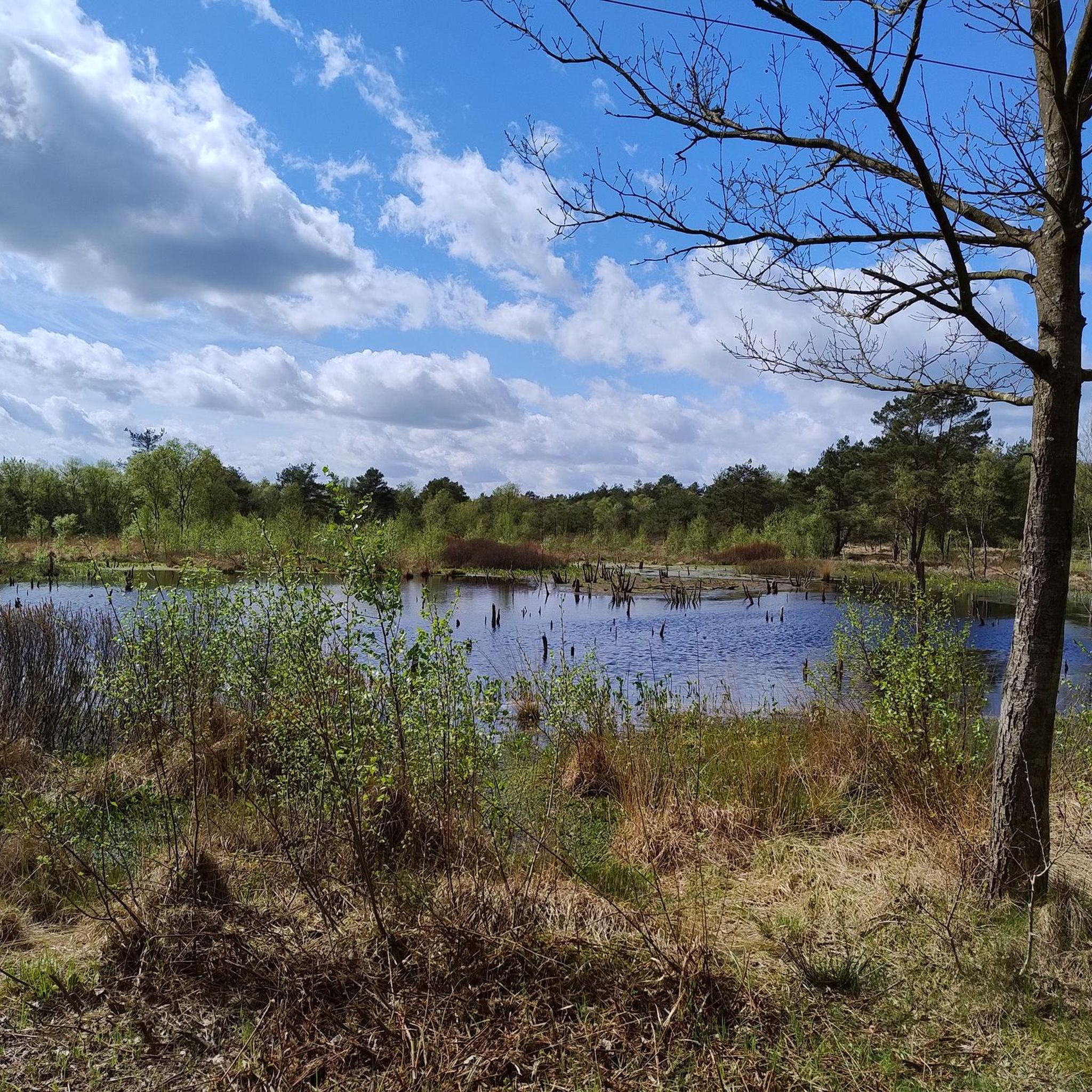
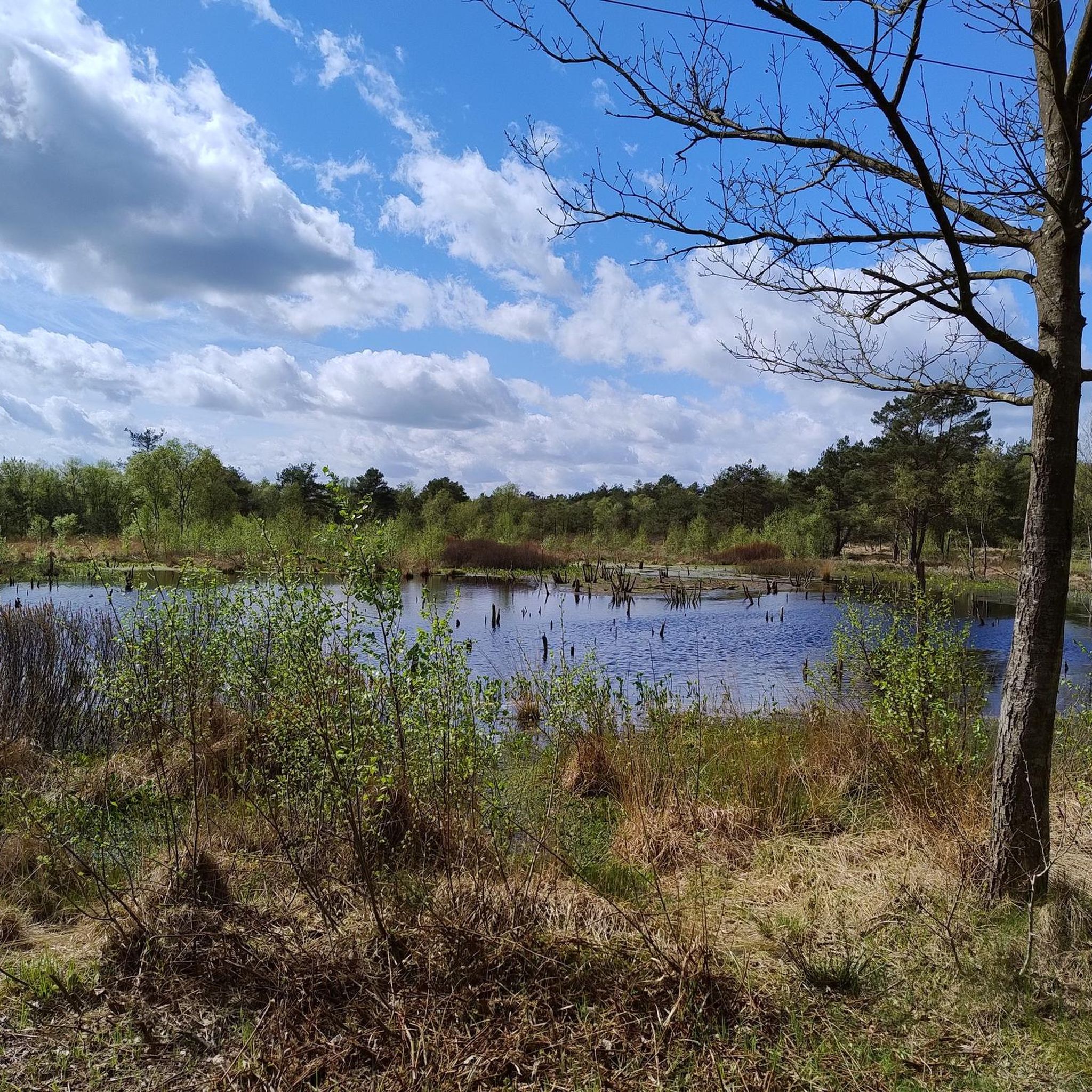
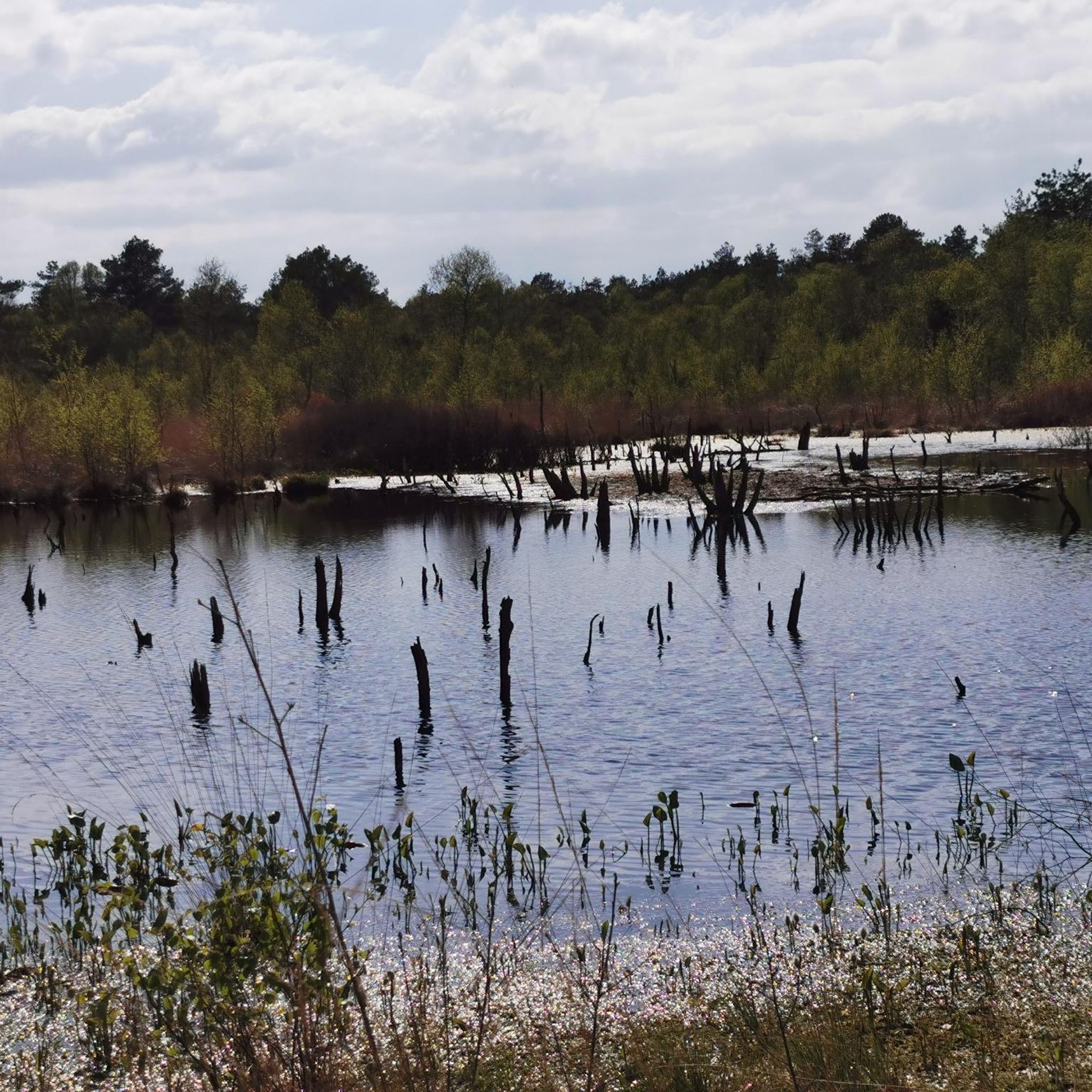
Mountain bike trails around Hollener Heide traverse a forested area in Lower Saxony, Germany. The region is characterized by diverse terrain, including forests and heathland, offering varied riding surfaces. While specific prominent landmarks are limited, the landscape provides a mix of gravel tracks and natural paths suitable for mountain biking. The area features generally flat to gently rolling terrain, with routes typically having modest elevation gains.
Best mountain bike trails around Hollener Heide
- The most popular mountain bike trail is Monsilienburg Earthworks – E loop from Lunestedt, a 18.1 miles (29.1 km) moderate trail that takes 1 hour 57 minutes to complete. This route features varied terrain through local woodlands and open areas.
- Another top favourite among local mountain bikers is Forest highway in the Elm – Narrow path by the Panzergleis loop from Dorfhagen, a moderate 19.8 miles (31.9 km) path. This route offers a mix of gravel tracks and forest paths.
- Local mountain bikers also love the Gravel and sand track – Scenic Forest Path loop from Loxstedt, a 21.8 miles (35.2 km) trail leading through scenic forest paths and open heathland, often completed in about 2 hours 21 minutes.
- Mountain biking around Hollener Heide is defined by forests, heathland, and diverse terrain with gravel and natural paths. The network offers options for easy and moderate ability levels.
- The routes in Hollener Heide are highly rated by the komoot community with an average score of 4.6 stars from over 10 reviews. More than 30 mountain bikers have used komoot to explore Hollener Heide's varied terrain.
Last updated: May 20, 2026
2
riders
29.1km
01:57
90m
90m
Moderate mountain bike ride. Great for any fitness level. Advanced riding skills necessary.
2
riders
Moderate mountain bike ride. Good fitness required. Suitable for all skill levels.

Sign up for free
7
riders
35.2km
02:22
70m
70m
Moderate mountain bike ride. Good fitness required. Suitable for all skill levels.
5.0
(1)
3
riders
Moderate mountain bike ride. Good fitness required. Advanced riding skills necessary.
1
riders
Easy mountain bike ride. Great for any fitness level. Suitable for all skill levels.
Get access to more routes and recommendations from other explorers.
Sign up for free
Already have an account?
Our route recommendations are based on thousands of hikes, rides, and runs completed by other people on komoot.
Start today with a free account
Your next adventure awaits.
Login or Signup

Tips from the Community

There are also fishing areas, camper parking spaces, and a hotel with a restaurant. The lake is also the starting point of its own hiking trail. A recreational area in the south of the lake was developed infrastructurally, but not built and completed due to the marshy subsoil. In the course of the construction of the Weser tunnel and the federal road 437, the lake was to be partially designated as a nature reserve and a second lake was to be created to the north, but this was rejected for the construction of the Loxpark commercial area. In the village of Stotel, the streets "Am Stoteler See" and "Zum See" were named after the body of water. See: https://de.wikipedia.org/wiki/Stoteler_See
1
0
The Stoteler See is an artificial bathing and recreational lake in the municipality of Loxstedt in Lower Saxony. It lies within the nature reserve „Teichfledermausgewässer“. The lake was named after the nearby village of Stotel and was created during the construction of the A27 federal motorway to the west. It is approximately 1 km long in a west-east direction, covers 30 hectares, and is up to 14.5 m deep. The surroundings are characterized by the Geest in the north and the Stoteler Moor in the south. Excess water from precipitation is diverted through the Hahnenknoop-Hetthorner Moor Canal into an old arm of the Lune river. The lake is home to fish species such as eel, perch, pike, carp, roach, rudd, tench, and zander. In addition, the surroundings offer a habitat for waterfowl such as mallard, garganey, greylag goose, water rail, and coot. Bathing activities are monitored by the DLRG (German Life Saving Association) local group Samtgemeinde Hagen, for which a watch station is available.
2
0


They say they have the best Bockwurst there...
1
0
After persistent rain, part of the route can only be covered with waterproof shoes
0
0

The reconstruction shows very clearly how the old sluice structures were constructed and how small they were in comparison to today's ones.
2
0

Frequently Asked Questions
How many mountain bike trails are available around Hollener Heide?
There are 13 mountain bike trails available around Hollener Heide. These routes offer a mix of easy and moderate options, with 3 easy trails and 10 moderate trails to explore.
What is the general terrain like for mountain biking in Hollener Heide?
Mountain biking around Hollener Heide features diverse terrain, including forests and heathland. You can expect a mix of gravel tracks and natural paths. The area is generally flat to gently rolling, with routes typically having modest elevation gains.
Are there any family-friendly mountain bike trails in Hollener Heide?
Yes, there are 3 easy mountain bike trails that are suitable for families or those looking for a less strenuous ride. One such option is the Charlemagne Monument in Rechtenfleth – Weser Ferry Sandstedt loop from Hagen im Bremischen, which covers 21 miles (33.8 km) with minimal elevation.
What do other mountain bikers say about the trails in Hollener Heide?
The mountain bike trails around Hollener Heide are highly rated by the komoot community, with an average score of 4.6 stars from over 10 reviews. Riders often praise the varied terrain, quiet woodlands, and the mix of gravel and natural paths.
Are there any circular mountain bike routes in the area?
Many of the mountain bike trails around Hollener Heide are designed as loops, offering convenient circular routes. For example, the Monsilienburg Earthworks – E loop from Lunestedt is a popular moderate loop covering 18.1 miles (29.1 km) through woodlands and open areas.
What is the best time of year to go mountain biking in Hollener Heide?
While specific seasonal conditions for Hollener Heide are not detailed, heathland regions in Lower Saxony are generally pleasant for cycling from spring through autumn. Late summer is particularly scenic when the heather blooms. Winter riding is possible, but trails may be affected by weather conditions.
Are there any advanced or difficult mountain bike trails in Hollener Heide?
The trails around Hollener Heide are categorized as easy or moderate. There are no officially designated difficult mountain bike trails in this specific area according to our data. The focus is on accessible routes through forests and heathland.
Can I find parking near the mountain bike trailheads in Hollener Heide?
While specific parking locations for Hollener Heide are not detailed, it is common for trailheads in similar natural areas in Lower Saxony to have designated parking. Users often start their tours from nearby villages like Lunestedt, Dorfhagen, or Loxstedt, where parking facilities are typically available.
Are there any notable natural features or viewpoints along the trails?
Hollener Heide is characterized by its heathland and forested landscapes. While there are no prominent landmarks or specific viewpoints listed, the trails offer scenic passages through diverse natural settings, including picturesque forests and open heathland, providing a tranquil outdoor experience.
What is the typical length of mountain bike trails in Hollener Heide?
The mountain bike trails in Hollener Heide vary in length. For instance, the Gravel and sand track – Scenic Forest Path loop from Loxstedt is 21.8 miles (35.2 km), while the Forest highway in the Elm – Narrow path by the Panzergleis loop from Dorfhagen is 19.8 miles (31.9 km). Most routes are designed for a substantial ride, typically ranging from 18 to 30 miles (29 to 48 km).
Are there options for longer mountain bike tours in the region?
Yes, for those seeking longer rides, the area offers routes that extend further. The Charlemagne Monument in Rechtenfleth – Lune Sluice and Pumping Station loop from Loxstedt is a moderate trail spanning 30 miles (48.2 km), providing an extended exploration of the surrounding landscape.
Most popular routes around Hollener Heide

Get inspired with the komoot mobile app


Explore more
Browse the best MTB trails in other regions.
