The best running trails around Geitelder Holz
4.3
(1752)
26,042
runners
1,199
runs
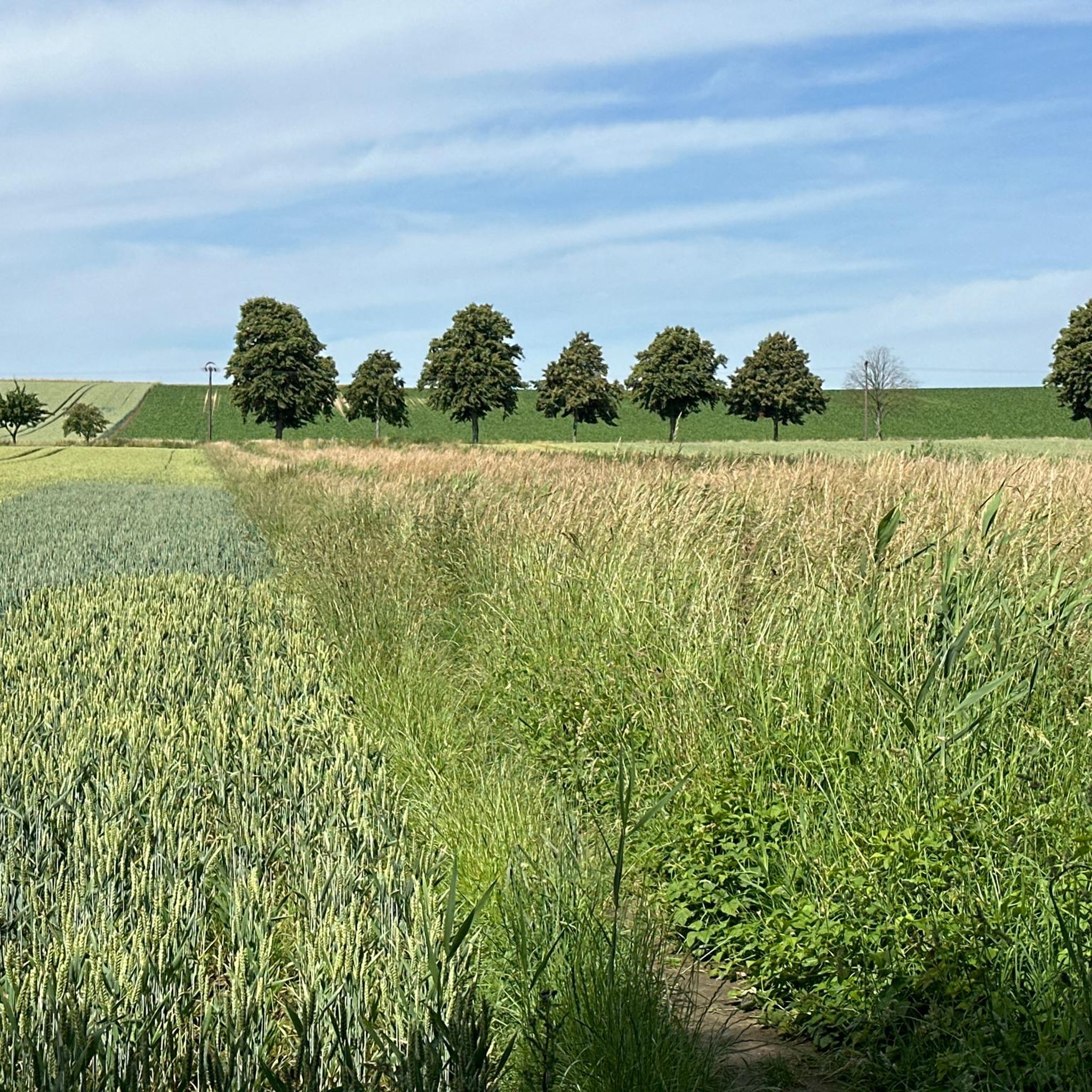
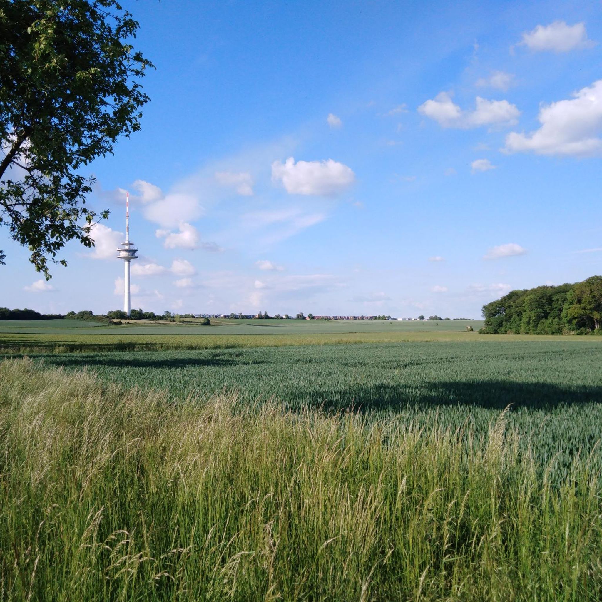
Jogging routes around Geitelder Holz are characterized by a tranquil woodland setting in the southeastern part of Braunschweig, Germany. The area features diverse topography, including the Geitelder Berg, which is a hill at 111 meters above sea level, and surrounding chalk formations. The landscape primarily consists of flat to gently rolling terrain, with a mix of open fields, wooded sections, and paths alongside waterways like the Oker and Geitelder Graben. This landscape protection area offers a serene escape with ample…
Last updated: July 4, 2026
3.0
(15)
10
runners
4.96km
00:31
30m
30m
Easy run. Great for any fitness level. Mostly paved surfaces. Suitable for all skill levels.
4.5
(64)
1,000
runners
11.1km
01:10
30m
30m
Moderate run. Good fitness required. Mostly paved surfaces. Suitable for all skill levels.

Sign up for free
49
runners
3.75km
00:25
10m
10m
Easy run. Great for any fitness level. Mostly paved surfaces. Suitable for all skill levels.
5.0
(3)
24
runners
Moderate run. Good fitness required. Mostly paved surfaces. Suitable for all skill levels.
22
runners
Moderate run. Good fitness required. Mostly paved surfaces. Suitable for all skill levels.
Get access to more routes and recommendations from other explorers.
Sign up for free
Already have an account?
Our route recommendations are based on thousands of hikes, rides, and runs completed by other people on komoot.
Start today with a free account
Your next adventure awaits.
Login or Signup
Tips from the Community

Here you can quietly let your soul dangle from time to time. Here you can quietly let your soul dangle from time to time.
0
0

developed path parallel to the Oker
1
0
nice shortcut over the Südsee
1
0

a popular place to attach "love locks"
2
0

Wooden walkway with a beautiful view of the South Seas
3
0

There are paved paths, and it's busy on weekends, so it's better to go during the week.
2
0

Don't be alarmed! Some people here enjoy testing their bicycle bells or vehemently demanding their echo.
2
0
Frequently Asked Questions
How many running routes are available in the Geitelder Holz area?
There are over 1,200 running routes recorded in the Geitelder Holz region on komoot, offering a wide variety of options for all skill levels. Approximately 230 of these are classified as easy, while over 860 are moderate, and around 120 are considered difficult.
Are there easy running routes suitable for beginners in Geitelder Holz?
Yes, Geitelder Holz offers numerous easy running routes perfect for beginners or those looking for a relaxed jog. For instance, the Bridge Over the Fuhse Canal – Path Along the Railway loop from Rüningen is an easy 3.8 km (2.3 miles) path with minimal elevation gain, ideal for a gentle introduction to the area's trails.
Can I find longer running trails for endurance training around Geitelder Holz?
Absolutely. For runners seeking longer distances, Geitelder Holz provides several options. The Oker Weir Rüningen – Path Along the Railway loop from Stöckheim is a challenging 17.6 km (10.9 miles) trail that follows riverside paths and varied landscapes, often taking nearly two hours to complete.
What is the typical duration for a running loop in Geitelder Holz?
The duration of a running loop in Geitelder Holz varies significantly depending on the route's length and your pace. Shorter, easy loops like the Südsee Lake (Braunschweig) – Südsee Loop loop from Rüningen can be completed in about 30 minutes, while longer routes might take up to two hours or more.
Are there any circular running routes in Geitelder Holz?
Many of the running routes in Geitelder Holz are designed as circular loops, offering convenient starting and ending points. A popular example is the Wasche-Quelle loop from Funkturm Broitzem, an easy 5.0 km (3.1 miles) trail that brings you back to your starting location.
What kind of terrain can I expect on the running trails in Geitelder Holz?
The running trails around Geitelder Holz are characterized by a mix of flat to gently rolling landscapes. You'll encounter open fields, wooded sections, and paths alongside waterways like the Oker. Elevation changes are generally minimal, making it suitable for various running abilities.
What do other runners enjoy the most about jogging in Geitelder Holz?
The running routes in Geitelder Holz are highly rated by the komoot community, with an average score of 4.3 stars from over 1,500 reviews. Runners often praise the varied terrain, the pleasant mix of open fields and wooded sections, and the scenic paths along the Oker river.
Are there any interesting landmarks or attractions to see along the running routes?
Yes, while running in Geitelder Holz, you might encounter several points of interest. For example, you could pass by the Turnvater Jahn Memorial or explore sections of the Geitelder Forst Trail. Some routes also follow the path of the Former Railway Embankment Derneburg–Braunschweig Nord.
Is Geitelder Holz suitable for family-friendly running or walks?
Yes, the generally flat and accessible nature of many trails in Geitelder Holz makes it suitable for family outings. Easy routes with minimal elevation are ideal for families with children, allowing for a pleasant run or walk together in nature.
Can I bring my dog on the running trails in Geitelder Holz?
While specific regulations can vary, many natural areas in Germany, including those around Geitelder Holz, are generally dog-friendly. It's always recommended to keep your dog on a leash, especially in wooded areas or near wildlife, and to clean up after them. Check local signage for any specific restrictions.
Are there places to eat or get refreshments near the running trails?
While the guide focuses on running routes, some areas around Geitelder Holz may offer opportunities for refreshments. For instance, the Waldschänke Former Train Station Restaurant is a highlight in the vicinity, which could be a convenient stop after a run.
What is the best season for running in Geitelder Holz?
Geitelder Holz offers enjoyable running conditions throughout the year. Spring and autumn provide pleasant temperatures and beautiful scenery with changing foliage. Summer is great for early morning or late evening runs to avoid the heat, while winter can be picturesque, though some paths might be muddy or icy.
Most popular routes around Geitelder Holz
Most popular attractions around Geitelder Holz

Get inspired with the komoot mobile app


Explore more
Browse the best Running Trails & Routes in other regions.
