The best walks and hikes around Seelhorst
4.5
(7837)
47,379
hikers
1,897
hikes
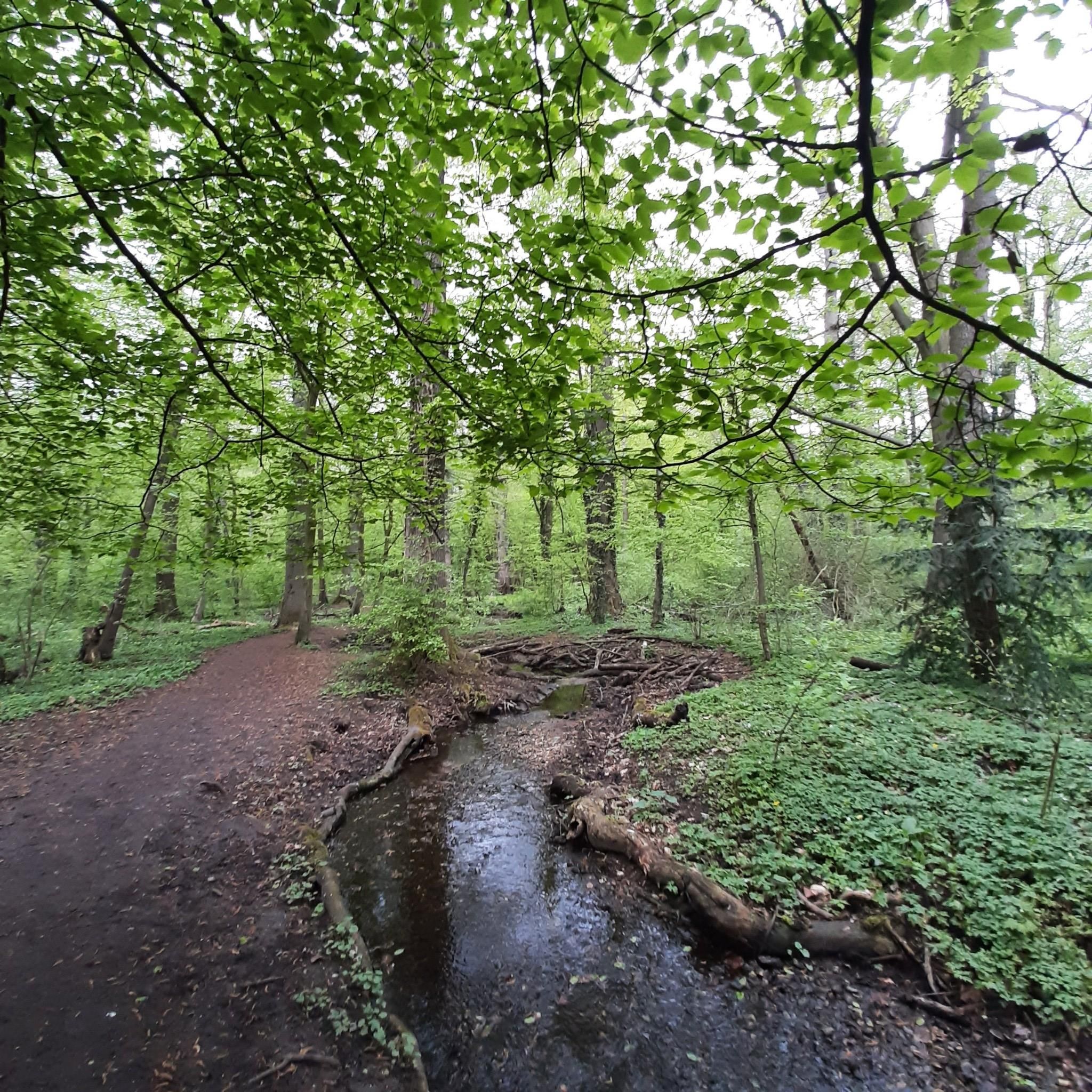
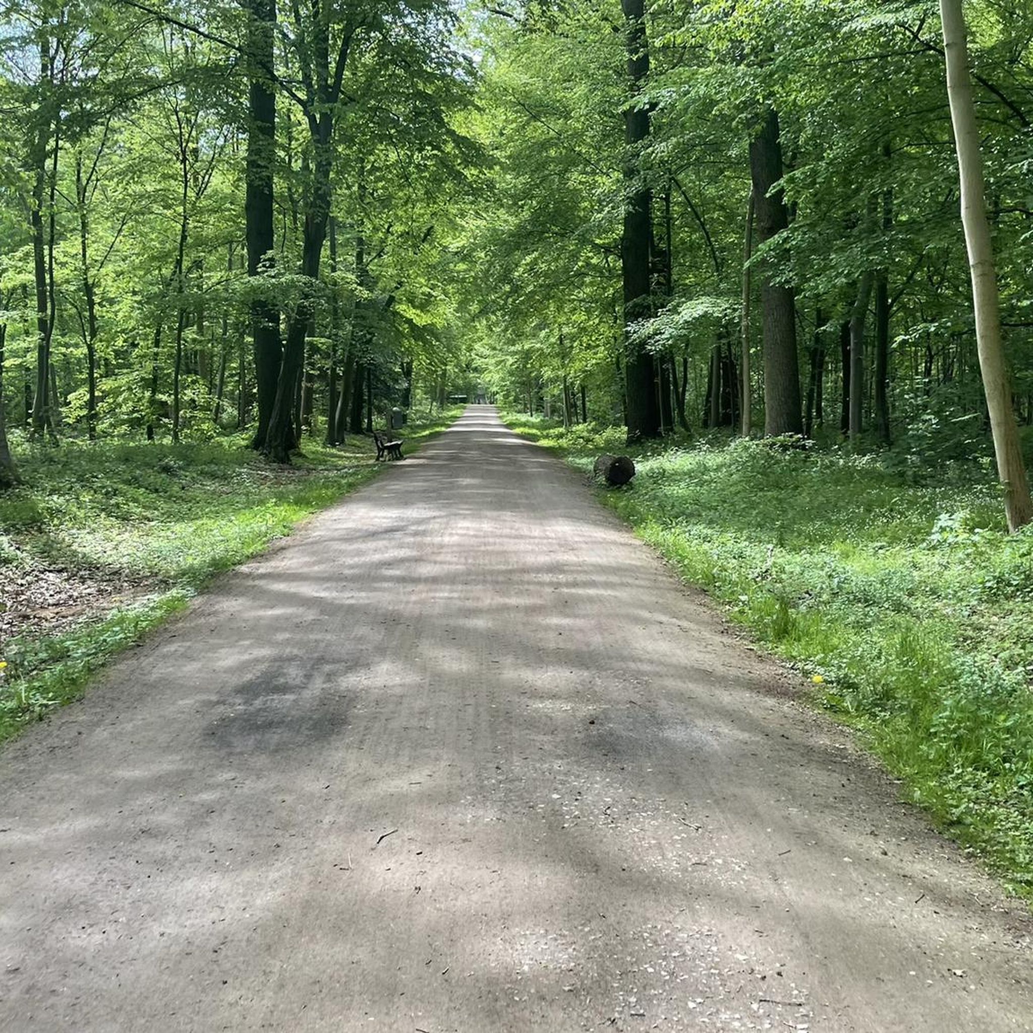
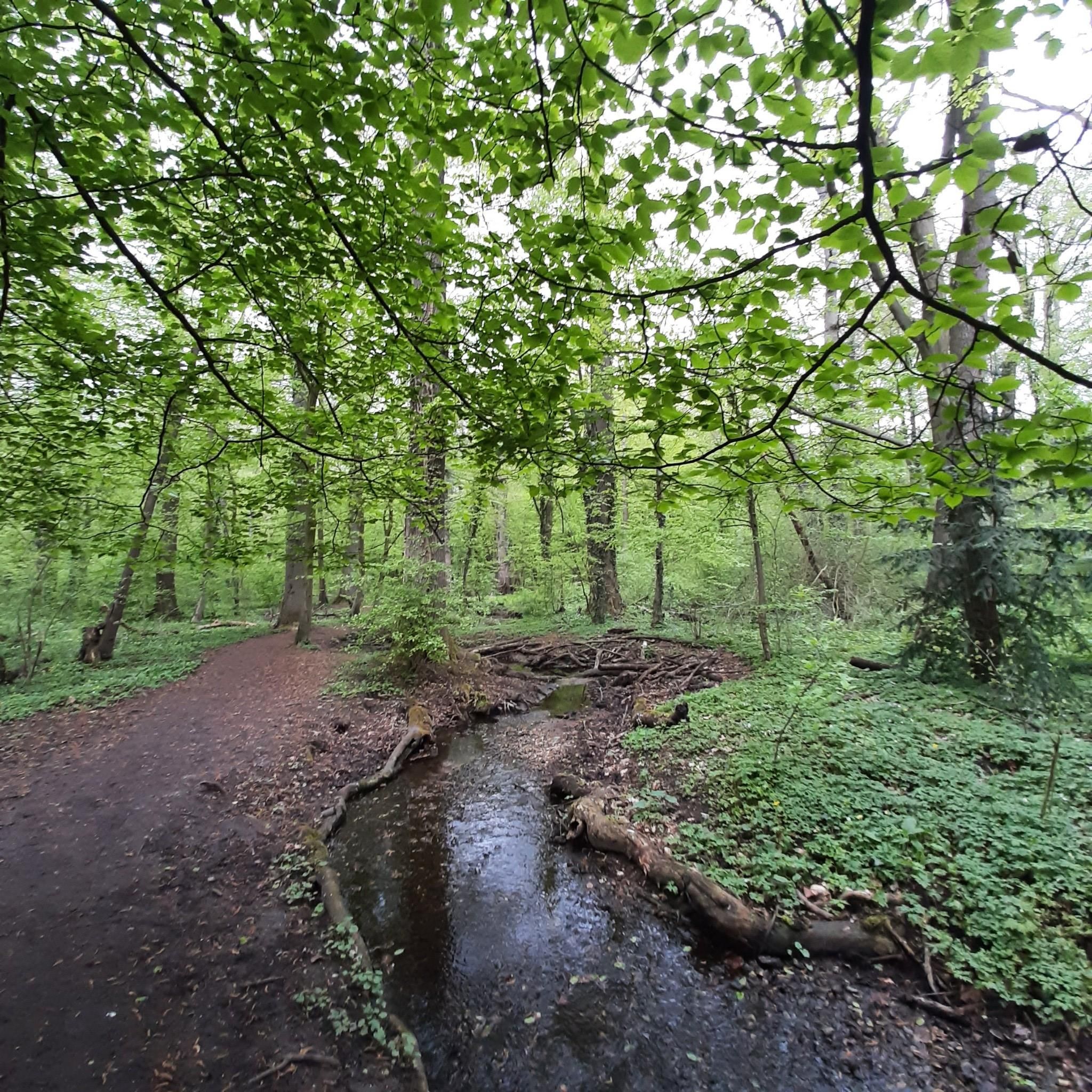
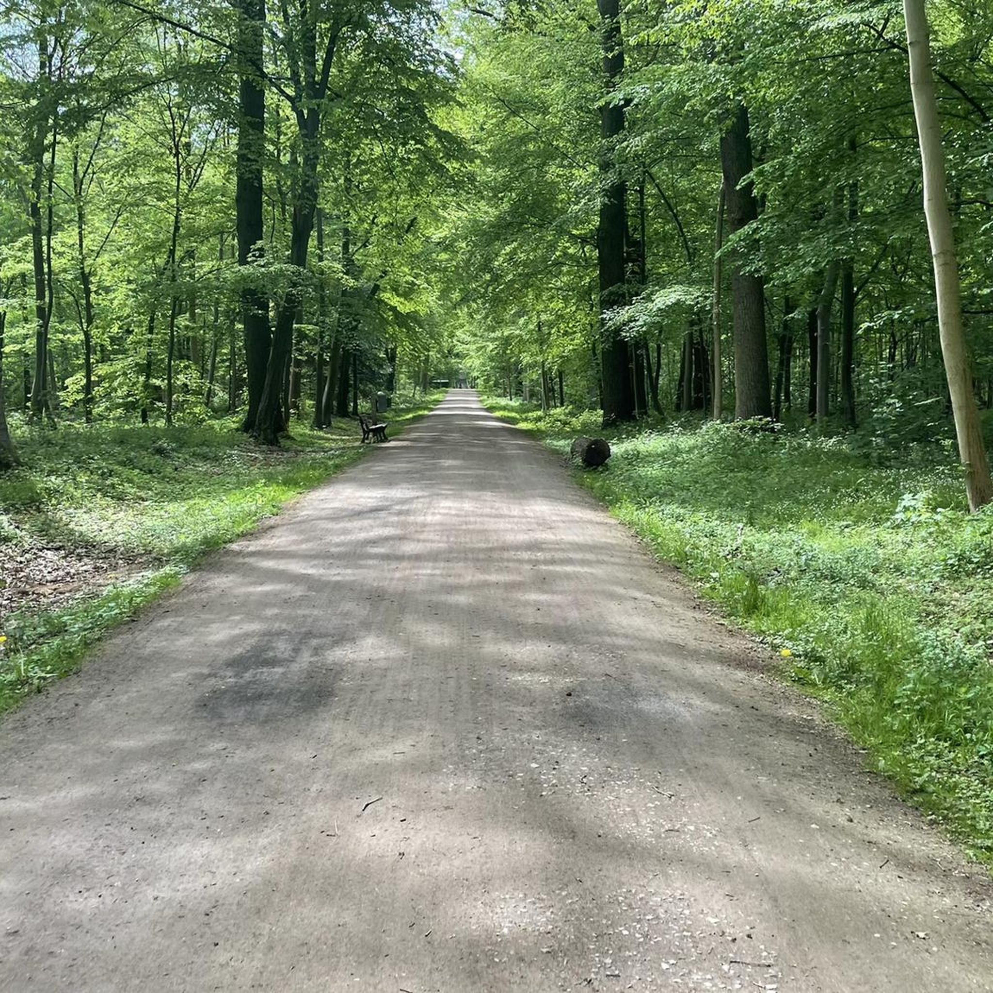
Hiking around Seelhorst offers a network of trails primarily within the Seelhorst Forest, a significant green space in Hannover. The area is characterized by its dense woodlands, with some routes extending towards the Leine River. While generally flat, the region includes gentle ascents to hills like Kronsberg and Südhügel, providing varied terrain for walkers. These features contribute to a diverse outdoor experience, suitable for different hiking preferences.
Best hiking trails around Seelhorst
- The most popular hiking route is Seelhorst Forest…
Last updated: September 29, 2026
4.8
(16)
63
hikers
5.90km
01:30
20m
20m
Easy hike. Great for any fitness level. Easily-accessible paths. Suitable for all skill levels.
4.0
(4)
7
hikers
Moderate hike. Good fitness required. Easily-accessible paths. Suitable for all skill levels.

4.5
(2)
14
hikers
Easy hike. Great for any fitness level. Easily-accessible paths. Suitable for all skill levels.
5.0
(2)
14
hikers
Easy hike. Great for any fitness level. Easily-accessible paths. Suitable for all skill levels.
5.0
(2)
10
hikers
Easy hike. Great for any fitness level. Easily-accessible paths. Suitable for all skill levels.
Get access to more routes and recommendations from other explorers.
Already have an account?
Our route recommendations are based on thousands of hikes, rides, and runs completed by other people on komoot.
Start today with a free account
Your next adventure awaits.

Tips from the Community

This artwork titled "Dr. Kartelović" is by the artist Kartel (Eugen Cuncev) from Hannover. It was created as part of the "Street Art Summer" campaign in 2017, where artists, commissioned by the construction company Gundlach, beautified house walls.
0
0

Chill park on the edge of the new Kronsrode district
0
0

The summit cross on the Kronsberg marks Hanover's highest point – 118 meters above sea level. It stands on an artificially raised observation hill on the southeastern outskirts of the city, near the Expo site. From here, you can enjoy a sweeping view of the city, the Deister Mountains, and the surrounding countryside.
12
0

The area is primarily characterized by the Leine River, flanked by near-natural willow gallery forests and tall herbaceous meadows, as well as its partially near-natural and richly structured adjacent floodplains. In the north, there are extensive areas of agriculturally used grassland with varying levels of moisture and intensity of use. Smaller areas include scattered arable land, forest and shrub stands with varying soil moisture levels, and natural flood channels. The woody course of the meandering and heavily silted Old Leine River, with occurrences of, among others, the silt locust, is also characteristic. The southern part of the nature reserve, in contrast, is largely characterized by former marl and gravel mining waters. Riparian woody plants and small shrubs with varying levels of moisture and succession stages have developed along the banks. Agriculturally used grassland and arable land are only present in small areas here. Many landscape elements, such as oxbow lakes, remnants of floodplain forests, or even open gravel areas and steep cliffs, which occasionally form due to flooding, are valuable remnants of the former floodplain dynamics, which continue to naturally develop new habitats in the floodplain between the terrace edges on both sides of the lower terrace. The Leine River is of national importance as a supra-regional fish migration route and as a spawning and nursery water for migratory fish. Species such as brown trout, sea trout, and Atlantic salmon find habitat here. Otters and beavers also occur here. The area is also of great importance for bats, such as the greater mouse-eared bat and the pond bat. Also worth emphasizing is the national and state importance of the nature reserve as a resting area for numerous migratory bird species and as a breeding ground for various water and meadow bird species. These include, for example, the great egret, white-fronted goose, great crested grebe, gadwall, tufted duck, goldeneye, and smew. In addition to its significant importance for species and habitat conservation, the nature reserve also plays a significant role in providing environmentally friendly, peaceful recreational opportunities due to its proximity to the city, its unique diversity, uniqueness, and beauty. Source: NLWKN
0
0

Only the pile of garbage visible to the north is slightly higher.
3
0

Do you need a rope team and ice axe for the climb? I live at 580m above sea level, 60km from the Alps. I can manage a 118m elevation gain to Augsburg 🤣
4
1

The Kronsberg hill covers an area of approximately 2,000 hectares. The mountain originally had an elevation of 106 m above sea level. The artificially created, twelve-meter-high observation hill at the original summit raised its elevation to 118 m above sea level. A second hill was built on the southern shoulder, reaching a height of 107.3 m above sea level. It is located approximately 2.3 km south-southwest of the summit. The observation points offer a sweeping view of Hanover and the surrounding mountain ranges, such as the Deister. The observation hills were created in the late 1990s and also serve as a design element. Trees are planted along the edges of their summits. Their soil consists of limestone marl, which was excavated during the construction work on the Kronsberg. The slopes of the oval-shaped hills are unplanted and serve as a habitat for warm- and lime-loving plants. The viewing hills are about 80 meters wide and, in an east-west direction, about 250 meters long, and the southern hill about 200 meters long. Their summits are also oval and about one-fifth of the dimensions mentioned. Source: https://de.wikipedia.org/wiki/Kronsberg
1
0
At 107 m, the South Hill is slightly lower than the North Hill (118 m). But the climb up is steeper!
1
0
Frequently Asked Questions
How many hiking trails are available in Seelhorst?
Seelhorst offers a wide network of trails, with over 1,800 hiking routes recorded on komoot. This includes a variety of options from short strolls to longer excursions.
What is the general terrain like for hiking in Seelhorst?
The terrain in Seelhorst is primarily characterized by dense woodlands and extensive forest paths. While generally flat, the region does include gentle ascents to hills like Kronsberg and Südhügel, providing some varied elevation.
Are there easy hiking trails suitable for beginners or casual walkers in Seelhorst?
Yes, Seelhorst is very accessible for beginners and casual walkers. Over 1,300 of the routes are rated as easy. An example is the Seelhorst Forest loop from Döhren-Wülfel, which is an easy 3.8-mile (6.2 km) trail.
Are there longer or more challenging hikes available in Seelhorst?
While many trails are easy, there are also moderate options for those seeking a longer hike. For instance, the Seelhorst Forest – Leine River loop from Kirchrode-Bemerode-Wülferode is a moderate 11.2-mile (18.1 km) path that combines forest sections with scenic river views.
Are there circular walks in Seelhorst?
Many of the trails in Seelhorst are designed as circular routes, allowing you to start and end at the same point. The Kronsberg Hill and Obelisk – Kronsberg loop from Kirchrode-Bemerode-Wülferode is a popular example of a circular trail.
Can I hike along the Leine River in Seelhorst?
Yes, some routes in Seelhorst extend towards the Leine River, offering a different landscape from the dense forest. The Seelhorst Forest – Leine River loop from Kirchrode-Bemerode-Wülferode specifically includes scenic stretches along the river.
Are there any viewpoints or hills to climb in Seelhorst?
While the area is generally flat, there are gentle ascents to notable points like Kronsberg and Südhügel. The View from Südhügel (107 m) – Kronsberg South Hill Summit loop offers views from one of these higher points.
Are the hiking trails in Seelhorst suitable for families?
Yes, many trails in Seelhorst are well-suited for families due to their generally easy difficulty and well-maintained paths through the forest. Shorter, easy loops are ideal for walks with children.
Are dogs allowed on the hiking trails in Seelhorst?
Generally, dogs are welcome on trails in natural areas like Seelhorst Forest. However, it is always recommended to keep dogs on a leash, especially in nature reserve sections or areas with wildlife, and to follow local regulations regarding pet waste.
What do other hikers enjoy most about hiking in Seelhorst?
The area is highly rated by the komoot community, with an average score of 4.6 stars from over 6,800 reviews. Hikers often praise the extensive forest paths, the peaceful atmosphere, and the variety of routes suitable for different ability levels.
What is the typical duration of hikes in Seelhorst?
Hikes in Seelhorst vary in duration. Many easy loops, like the Seelhorst Forest loop from Döhren-Wülfel, can be completed in about 1.5 to 2 hours. Longer, moderate routes can take 4-5 hours or more.
Are there any specific landmarks or points of interest along the trails?
Yes, some trails pass by notable features. For example, the Kronsberg Hill and Obelisk – Kronsberg loop leads past the Kronsberg Hill and its obelisk. Another route, the Obelisk Seelhorst – Kingfisher at the Pond loop, highlights the Seelhorst Obelisk and a pond.
Most popular routes around Seelhorst

Get inspired with the komoot mobile app


Explore more
Browse the best Hikes in other regions.
