The best running trails around Hildesheimer Wald
4.5
(14)
139
runners
24
runs
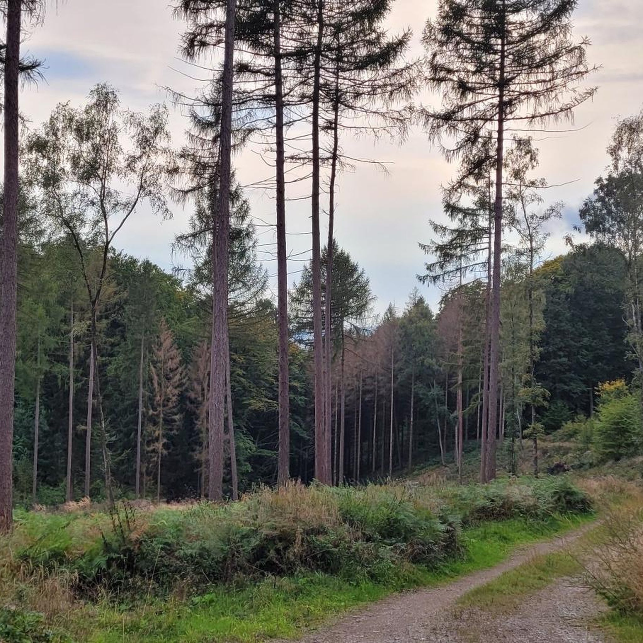
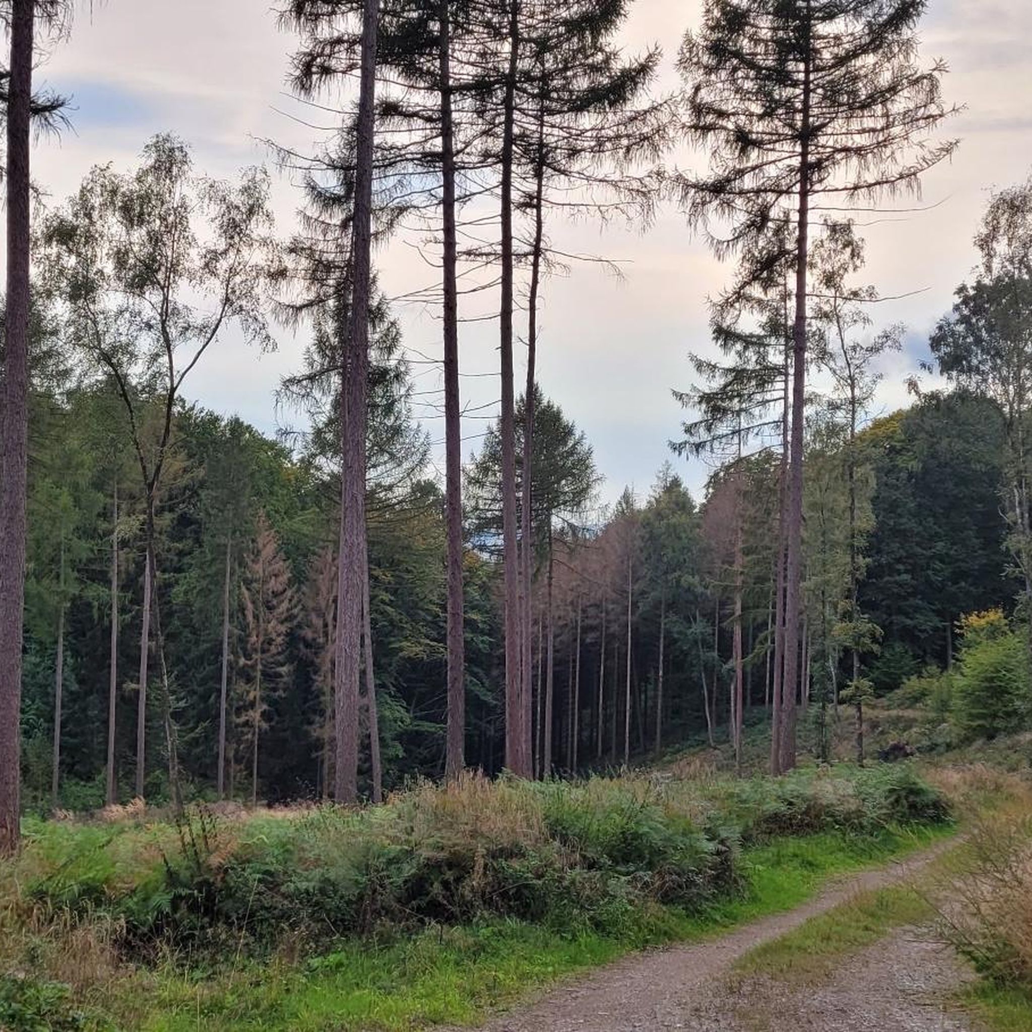
Jogging around Hildesheimer Wald offers diverse landscapes and an extensive network of trails in the Innerste Uplands of Lower Saxony, Germany. The region features varied terrain, from predominantly paved paths to natural forest trails, often alongside waterways like the Innerste River. Joggers can experience elevation changes with hills such as the Griesberg and Galgenberg, providing both challenges and views. This tranquil forest environment is characterized by dense foliage and a peaceful ambiance.
Best jogging routes around Hildesheimer Wald
- The most…
Last updated: July 4, 2026
5.0
(2)
20
runners
5.94km
00:37
40m
40m
Moderate run. Good fitness required. Mostly paved surfaces. Suitable for all skill levels.
12
runners
Moderate run. Good fitness required. Mostly paved surfaces. Suitable for all skill levels.

Sign up for free
9
runners
10.1km
01:09
190m
190m
Moderate run. Good fitness required. Mostly paved surfaces. Suitable for all skill levels.
13
runners
Moderate run. Good fitness required. Mostly paved surfaces. Suitable for all skill levels.
4.7
(7)
5
runners
Moderate run. Good fitness required. Mostly paved surfaces. Suitable for all skill levels.
Get access to more routes and recommendations from other explorers.
Sign up for free
Already have an account?
Our route recommendations are based on thousands of hikes, rides, and runs completed by other people on komoot.
Start today with a free account
Your next adventure awaits.
Login or Signup
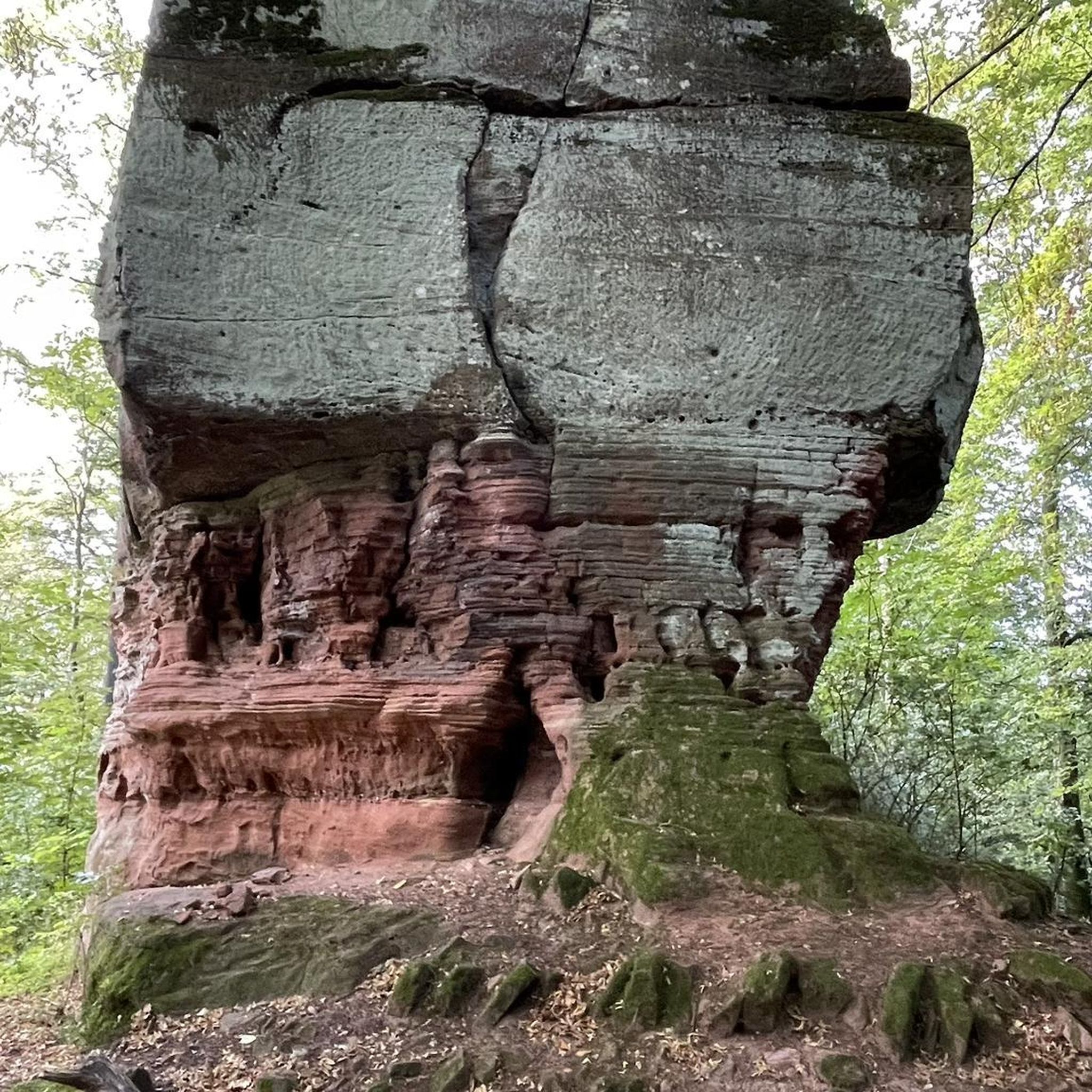
Tips from the Community

A worthwhile path through the deciduous forest, with beautiful views to the north
0
1
Inconspicuous elevation with old boundary stone
0
0
A beautiful chain of peaks with partly good views to the north
0
0

If you're in the area, you should definitely stop by 👀.
3
0

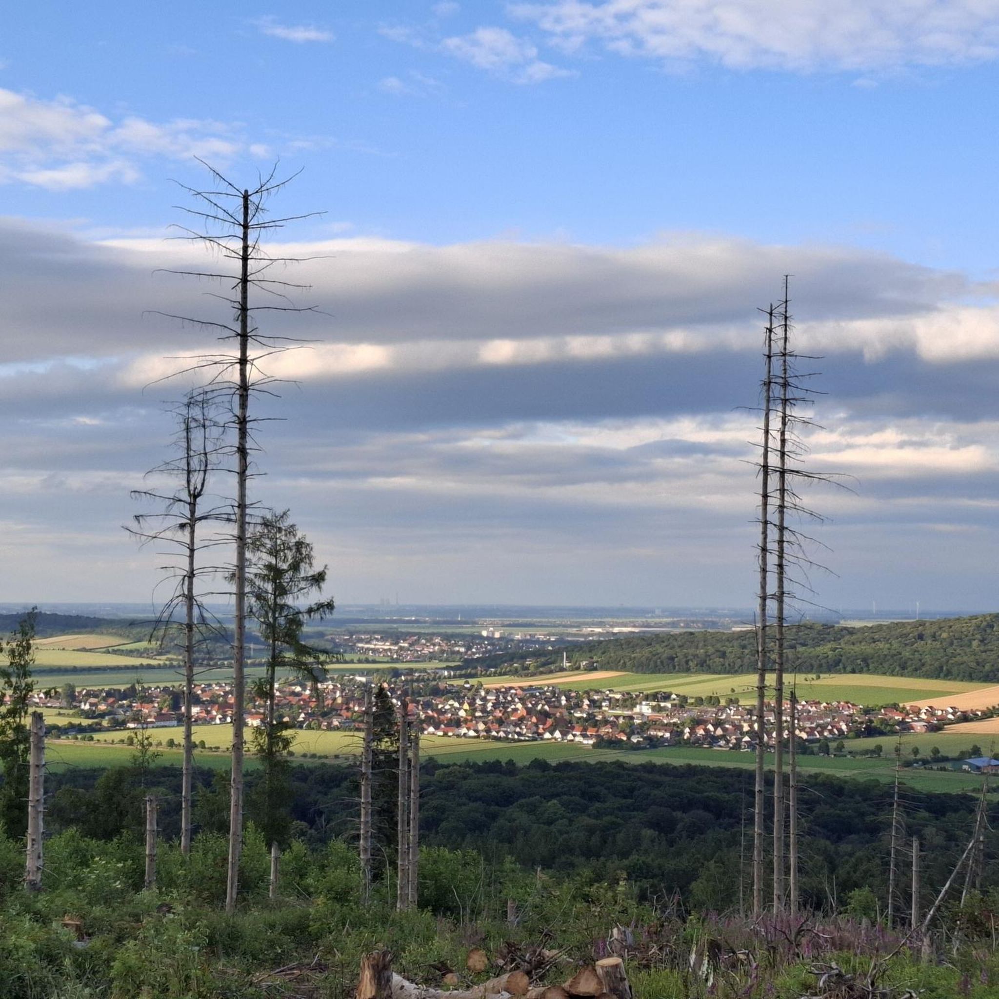
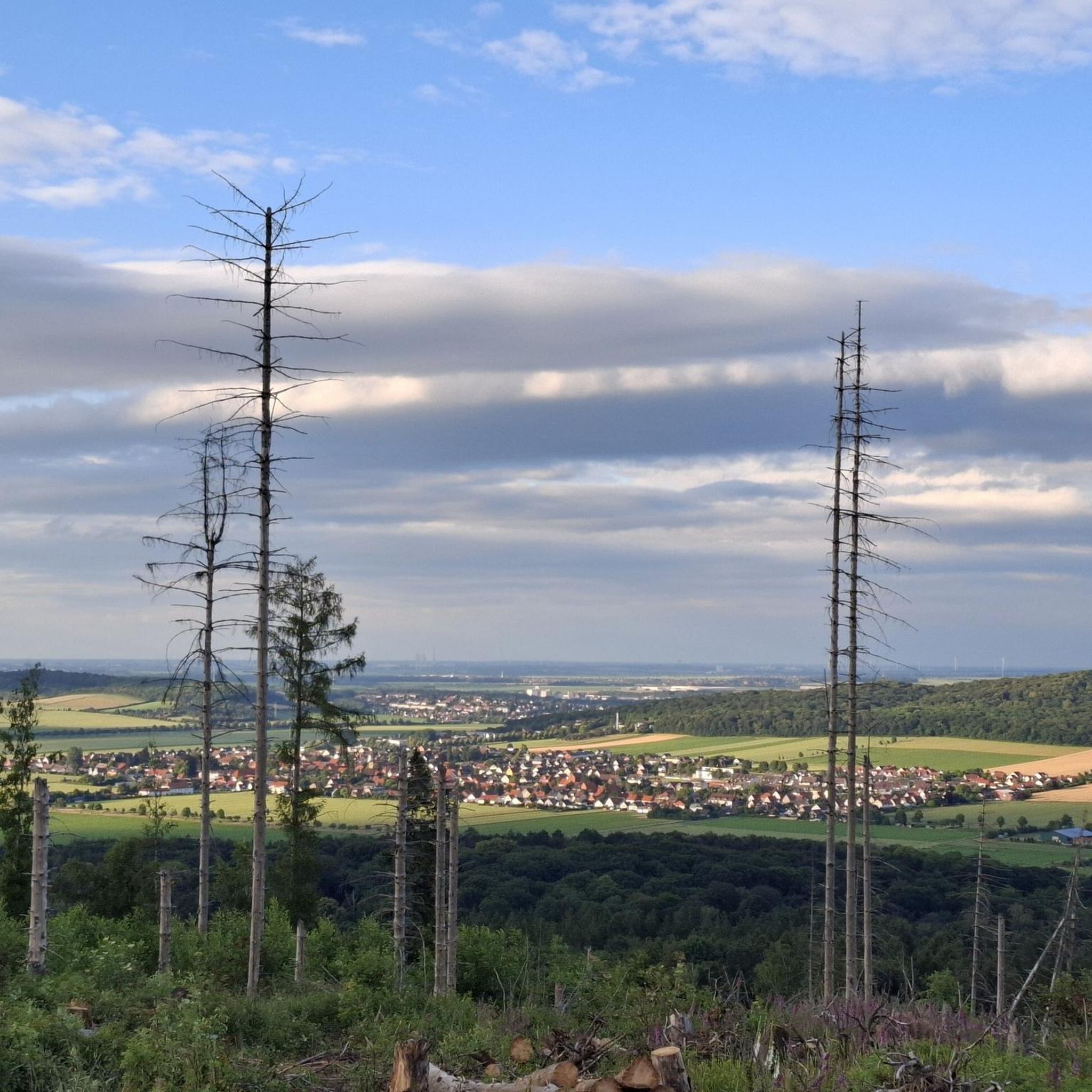
Beautiful ridge path with partly narrow paths and a few viewpoints towards the north and Hildesheim.
0
0

Here you can go hiking
0
0

The old post mill was in operation until the Second World War. In 1959, it was converted into a youth hostel. It houses a group room.
4
0
There is a particularly beautiful view of the monastery from the mill pond. Two benches invite you to linger.
2
0
Frequently Asked Questions
How many running routes are available in Hildesheimer Wald?
The Hildesheimer Wald area offers a diverse network of over 20 running routes, catering to various skill levels. You'll find everything from easy loops to more challenging trails with significant elevation changes.
What kind of terrain can I expect on the jogging trails around Hildesheimer Wald?
Runners in Hildesheimer Wald can experience a wide variety of terrain. Paths range from predominantly paved sections to natural forest trails, and even grassy paths along waterways like the Leine and Innerste rivers. Some routes, such as the Old Railway Track Diekholzen – Söhre Countryside View loop, offer varied surfaces.
Are there any running routes with good views or landmarks in Hildesheimer Wald?
Absolutely! Many routes offer scenic views and pass by interesting landmarks. For panoramic vistas, consider trails that ascend hills like the Griesberg or Galgenberg. You can also find historical sites such as the Beusterburg — Neolithic earthwork in the northwestern part of the forest, or the Waldquelle running route which offers rewarding views over Hildesheim. The Hildesheim Observation Tower is another excellent viewpoint.
What do other runners enjoy most about jogging in Hildesheimer Wald?
The running routes in Hildesheimer Wald are highly rated by the komoot community, with an average score of 4.4 stars from over 10 reviews. Runners often praise the tranquil forest environment, the varied terrain, and the opportunities for both gentle and challenging runs. Over 130 runners have already used komoot to explore this beautiful region.
Are there any family-friendly running options in the Hildesheimer Wald area?
Yes, Hildesheimer Wald offers several options suitable for families. While specific 'family-friendly' routes are not explicitly detailed, the extensive network includes easier, flatter sections and shorter loops. For example, a 2.3-kilometer loop around the Hohnsensee is a good option for a less strenuous run. Look for routes marked as 'easy' on komoot for suitable choices.
Can I bring my dog on the running trails in Hildesheimer Wald?
Generally, dogs are welcome on trails in Hildesheimer Wald. However, it's always recommended to keep your dog on a leash, especially in areas with wildlife or near agricultural land, and to respect local regulations. Please ensure you clean up after your pet to maintain the natural environment for everyone.
Are there any circular running routes available?
Yes, many of the running routes in Hildesheimer Wald are designed as loops, offering convenient circular options. Examples include the popular Old Railway Track Diekholzen – Söhre Countryside View loop and the Tosmar Hut – Bench for aging heroes loop. These circular paths allow you to start and finish at the same point without retracing your steps.
What are some of the more challenging running routes in the region?
For runners seeking a challenge, Hildesheimer Wald offers routes with significant elevation changes. The Brandberg loop from Landkreis Hildesheim is classified as 'difficult' and features notable ascents. The region's hills, like the Griesberg, provide opportunities for uphill training and rewarding views.
Are there any fitness or exercise stations along the running paths?
Yes, for those looking to combine running with other exercises, the Galgenberg Hill features a 2.2-kilometer fitness trail. This trail winds around the Yellow Tower and its observatory, incorporating 17 exercise stations where you can add strength and flexibility training to your run.
What is the best time of year to go running in Hildesheimer Wald?
Hildesheimer Wald is suitable for running year-round, but each season offers a different experience. Spring and autumn provide pleasant temperatures and beautiful foliage. Summer is ideal for early morning or late evening runs to avoid the heat, while winter running can be magical, though some forest trails might be muddy or icy. Always check local weather and trail conditions before heading out.
Are there any historical or cultural paths that can be used for jogging?
Yes, you can combine your run with cultural exploration. The Laves Kulturpfad (Laves Culture Trail) allows joggers to experience historical architecture by Georg Ludwig Friedrich Laves. Additionally, the Knollen Path offers a trek through picturesque landscapes, quaint villages, and woods, providing a blend of nature and local heritage.
Where can I find information about parking or public transport access to the running trails?
While specific parking details for each trail are best found on individual komoot route pages, many trailheads in Hildesheimer Wald are accessible by car. For public transport, Hildesheim city itself is well-connected, and local buses often serve areas bordering the forest. It's advisable to check local bus schedules for routes that stop near your chosen starting point.
Most popular routes around Hildesheimer Wald
Most popular attractions around Hildesheimer Wald

Get inspired with the komoot mobile app


Explore more
Browse the best Running Trails & Routes in other regions.
