The best walks and hikes around Klatenberge
4.6
(4008)
17,248
hikers
27
hikes
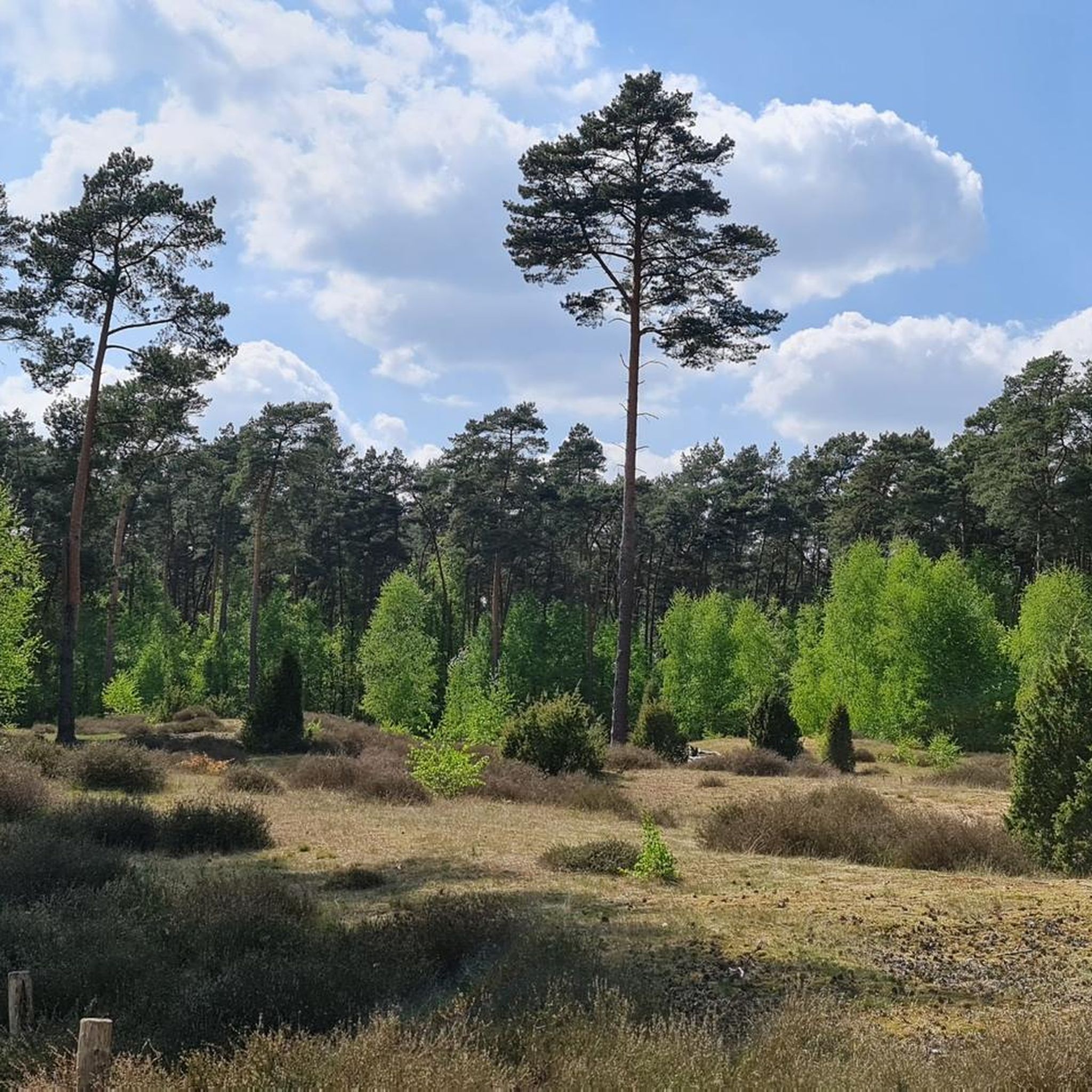
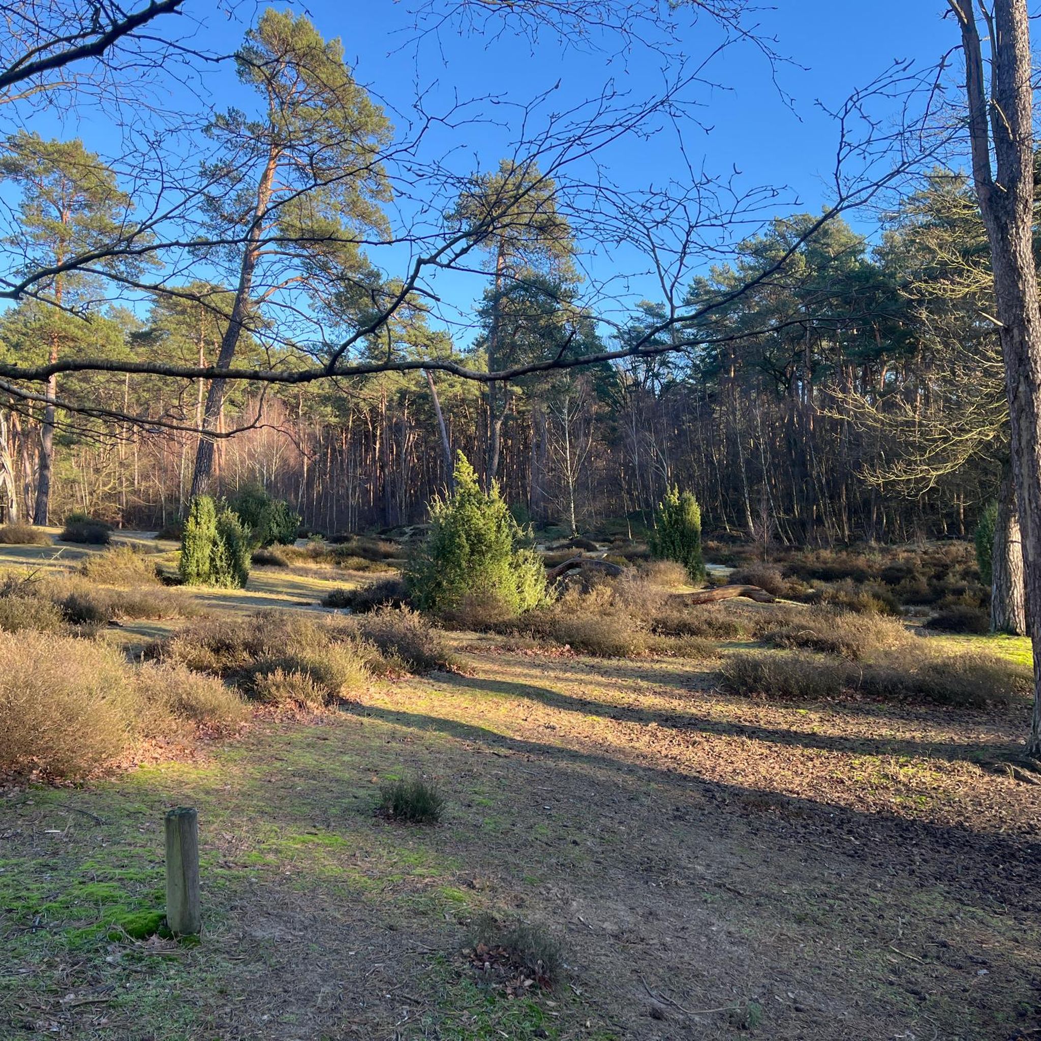
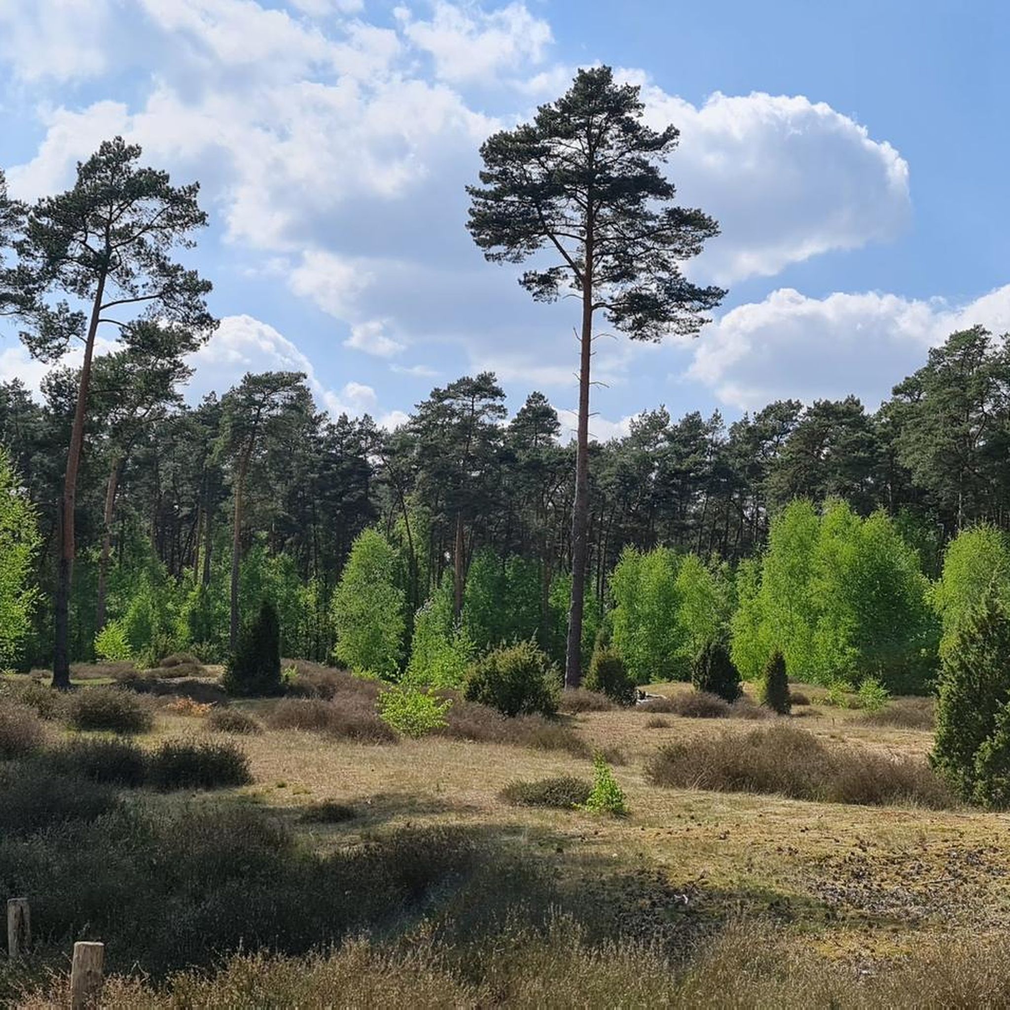
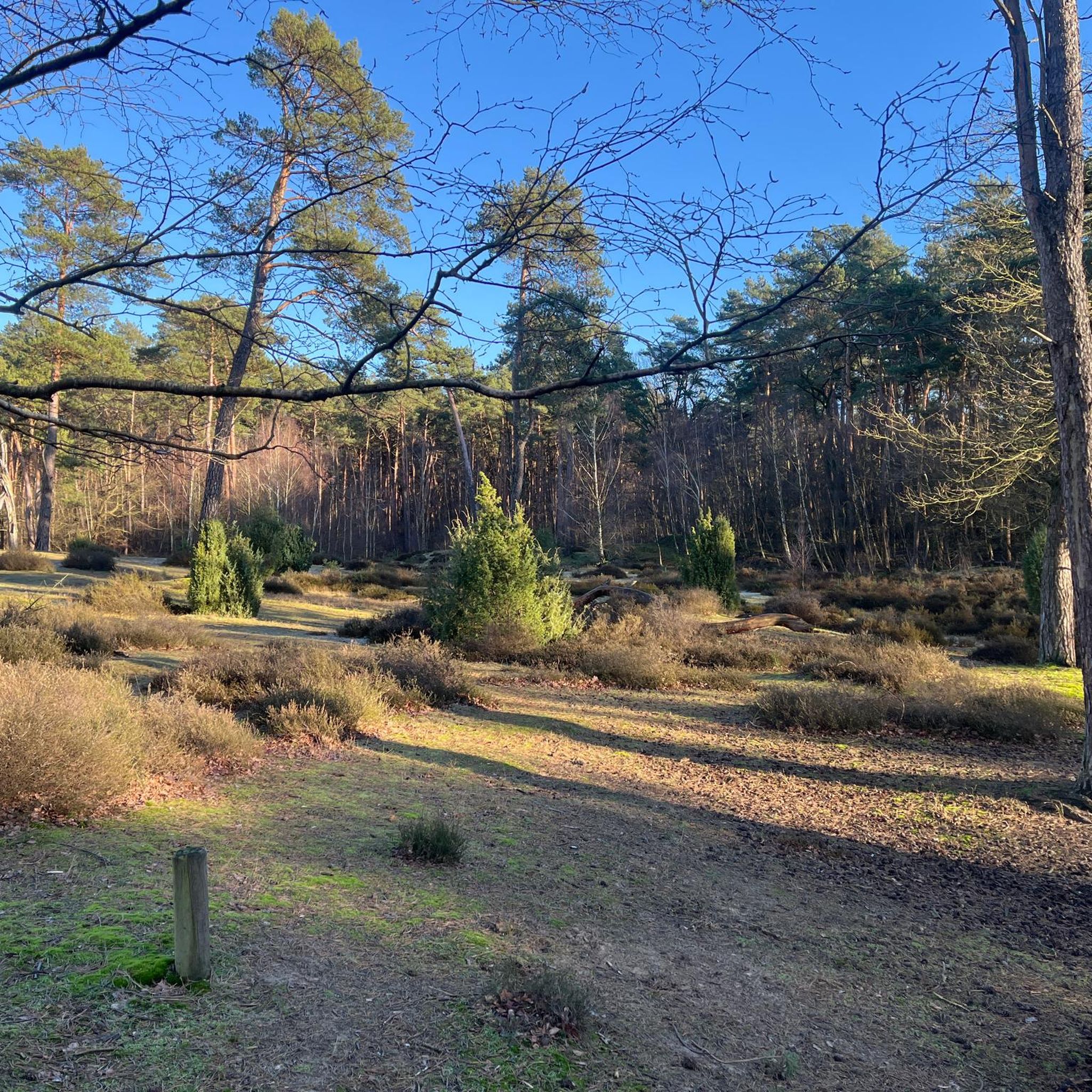
Hiking around Klatenberge offers trails through a unique natural landscape characterized by its designation as the last juniper heath in the district of Warendorf. The area features diverse open dune landscapes, including sandy meadows and exposed sandy areas. Hikers will encounter gnarled juniper bushes and ancient oak trees, with paths primarily composed of sand. The terrain is generally flat, with minimal elevation changes.
Best hiking trails around Klatenberge
- The most popular hiking route is Klatenberge Juniper Heath – Rest area…
Last updated: July 5, 2026
4.6
(115)
403
hikers
Easy hike. Great for any fitness level. Easily-accessible paths. Suitable for all skill levels.
4.7
(28)
106
hikers
Easy hike. Great for any fitness level. Easily-accessible paths. Suitable for all skill levels.

Sign up for free
4.5
(10)
22
hikers
Easy hike. Great for any fitness level. Easily-accessible paths. Suitable for all skill levels.
4.7
(9)
46
hikers
9.74km
02:29
30m
30m
Moderate hike. Good fitness required. Easily-accessible paths. Suitable for all skill levels.
4.8
(6)
23
hikers
Easy hike. Great for any fitness level. Easily-accessible paths. Suitable for all skill levels.
Get access to more routes and recommendations from other explorers.
Sign up for free
Already have an account?
Our route recommendations are based on thousands of hikes, rides, and runs completed by other people on komoot.
Start today with a free account
Your next adventure awaits.
Login or Signup
Tips from the Community

Haus Langen is a former knight's estate near the Ems. The ringwork fortification was built before the year 1000 and is one of the oldest fortresses with a surrounding moat as protection. Only the gatehouse remains of the complex. Directly opposite is a double mill.
1
0

There are bars for tying horses. So they can be used for all sports.
0
0
Currently difficult to walk for those with limited mobility due to logging operations. Deep tractor tracks, etc. Once everything has settled, it should be very pleasant to walk on.
0
0

Here you should plan on walking rather than by bike
2
0

Nice hotel. Ideal for trips to the Münsterland and Münster itself.
1
0
The Ems cycle path leads directly past here
5
0
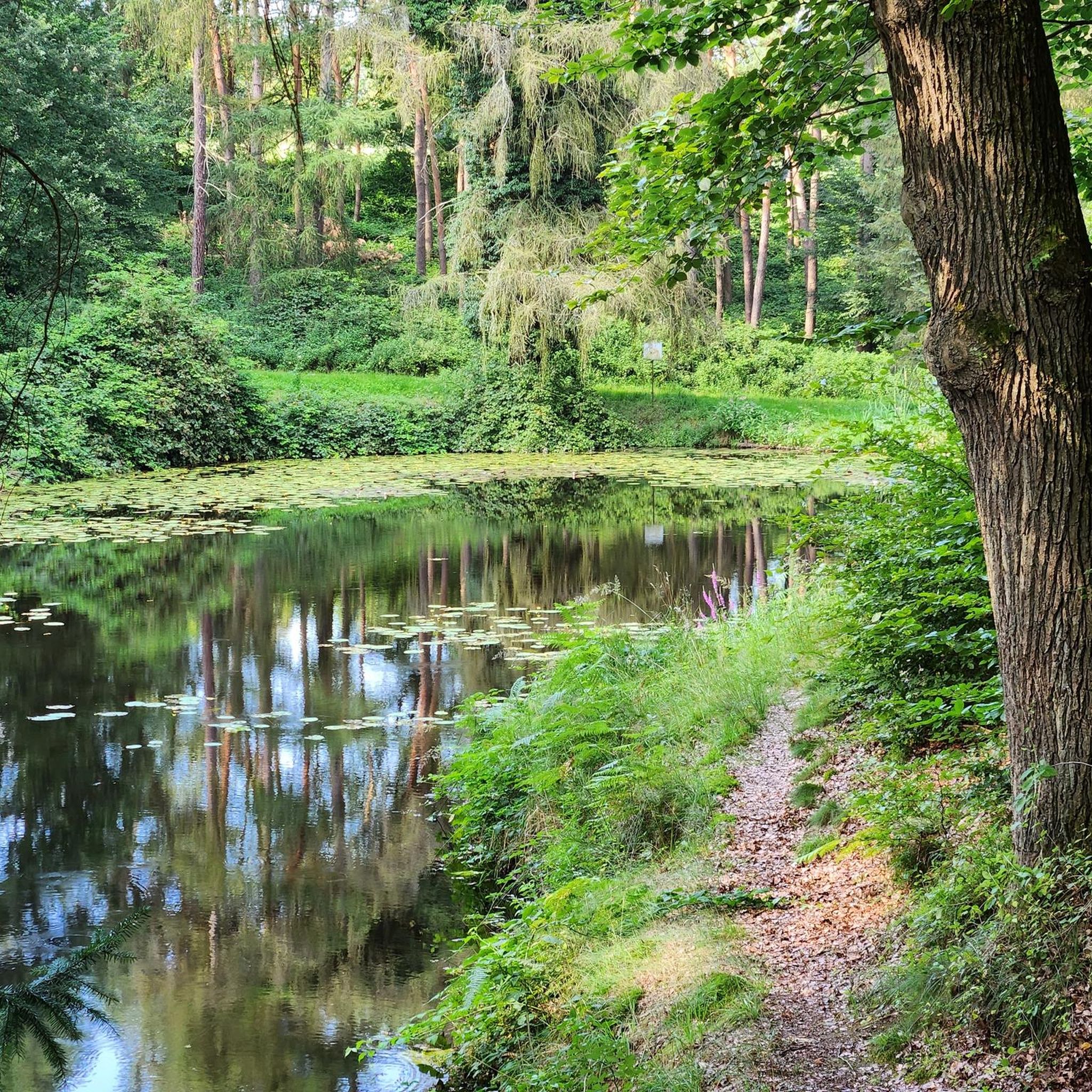
A beautiful little tributary of the Ems
5
0

The Bever is a very beautiful and idyllic river. It offers fantastic views to switch off and relax. Pure nature.
5
0
Frequently Asked Questions
How many hiking trails are available in Klatenberge?
Klatenberge offers a network of over 25 hiking routes. The majority, 25 of them, are classified as easy, making the area accessible for various fitness levels. There are also 2 moderate routes for those seeking a slightly longer challenge.
What kind of landscape can I expect to see while hiking in Klatenberge?
Klatenberge is renowned for its unique natural landscape, primarily characterized by its designation as the last juniper heath in the district of Warendorf. You'll experience diverse open dune landscapes, sandy meadows, and exposed sandy areas. The scenery is dotted with gnarled juniper bushes and ancient oak trees, and from the highest dune, you can enjoy a beautiful panoramic view of the heath.
Are there any circular hiking routes in Klatenberge?
Yes, many of the trails in Klatenberge are designed as loops, allowing you to start and end at the same point. For example, the Klatenberge Juniper Heath – Rest area on Klatenberge Heath loop from Klatenberge is a popular easy circular route that takes you through the distinctive juniper heath.
Is Klatenberge suitable for family hikes?
Absolutely. The terrain in Klatenberge is generally flat with minimal elevation changes, and most of the 25 easy routes are well-suited for families. The sandy paths and unique dune landscape offer an engaging environment for children to explore nature.
Can I bring my dog on the hiking trails in Klatenberge?
Yes, Klatenberge is a dog-friendly area. You are welcome to bring your dog along on the hiking trails. However, visitors are asked to be responsible and take their waste with them to help preserve the natural environment.
Where can I park when visiting Klatenberge for a hike?
There is a wide parking strip conveniently located along the L 811. From this parking area, the juniper heath can be reached on foot in approximately 500 meters, providing easy access to the trails.
What are some notable natural features or landmarks to look out for?
The primary natural feature is the Juniper heath at Klatenberge itself, a rare and protected landscape. You'll also encounter the unique open dune landscape and ancient oak trees. From the highest dune, there's a panoramic viewpoint offering expansive views of the heath. For a different experience, consider the Haus Langen – Bever-Ems Confluence loop from Klatenberge which explores the surrounding area.
What is the best time of year to hike in Klatenberge?
While Klatenberge is beautiful year-round, the flowering heath is particularly vibrant in August, offering a stunning display of color. The sandy paths make it accessible in most conditions, but spring and autumn also provide pleasant temperatures for hiking.
Are there any amenities like cafes or restaurants near the trails?
Yes, there is a Forest Hut Restaurant & Picnic Area nearby, offering a place to relax and refuel after your hike. Additionally, the area features seating options along the trails for breaks.
What do other hikers enjoy most about Klatenberge?
The area is highly rated by the komoot community, with an average score of 4.5 stars from over 170 reviews. Hikers often praise the unique and serene juniper heath landscape, the easy-to-navigate sandy paths, and the peaceful atmosphere that allows for a true connection with nature.
Are there any longer or more challenging routes in Klatenberge?
While most routes are easy, there are a couple of moderate options for those looking for a slightly longer hike. The Haus Langen – Bever-Ems Confluence loop from Klatenberge is a moderate 9.8 km trail that explores beyond the immediate heath, offering a bit more distance and varied scenery.
Is public transport available to reach the Klatenberge hiking trails?
The region research indicates that the Klatenberge area is primarily accessed by foot from a parking strip along the L 811. While specific public transport links directly to the trailhead are not detailed, Telgte, the nearest town, would be the most likely hub for public transport connections.
Most popular routes around Klatenberge
Most popular attractions around Klatenberge

Get inspired with the komoot mobile app


Explore more
Browse the best Hikes in other regions.
