The best road cycling routes around Ölgangsinsel
4.4
(2876)
40,718
riders
687
rides
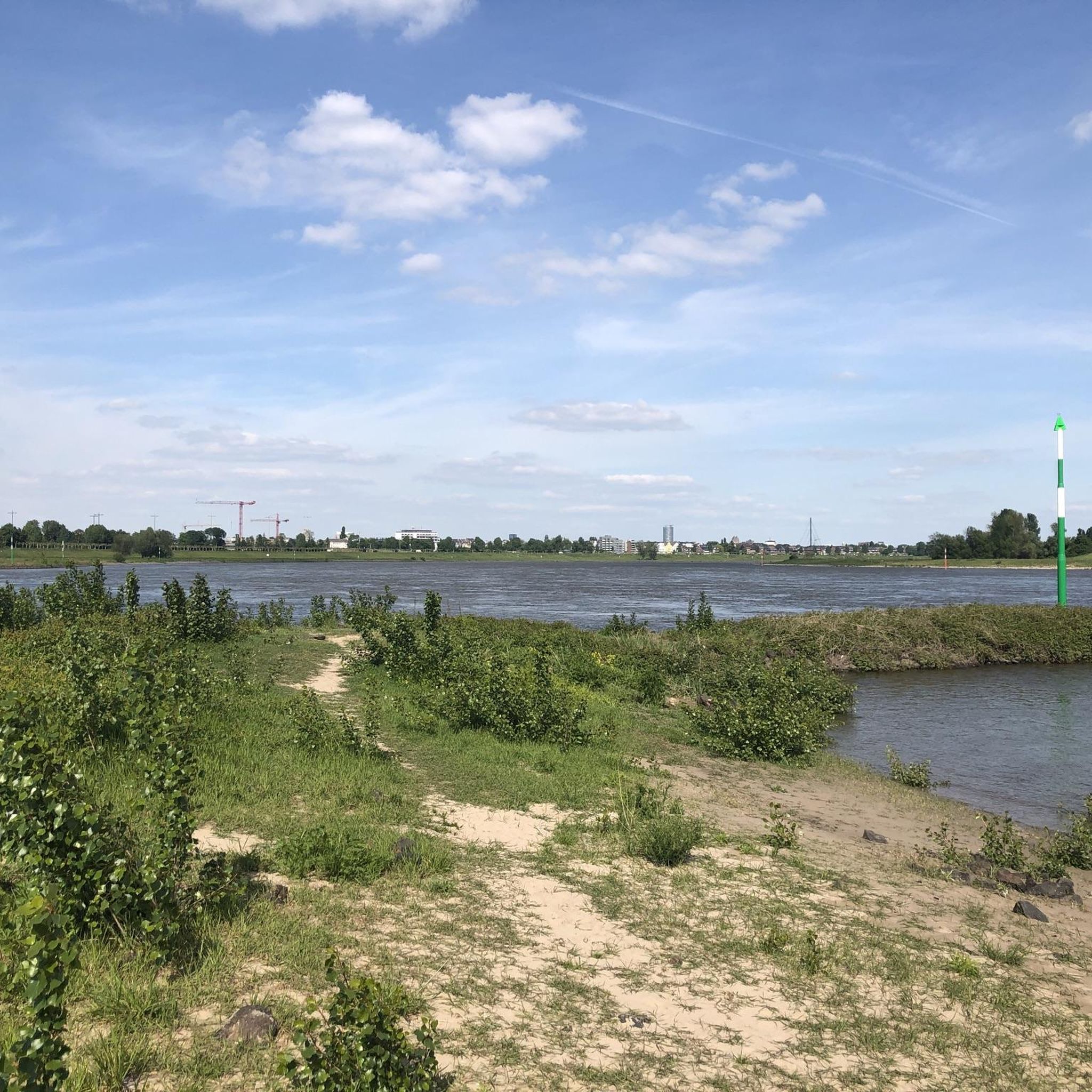
Road cycling routes around Ölgangsinsel are characterized by their proximity to the Rhine River, offering scenic views and mostly paved surfaces. The region features a mix of flat riverside paths and gently rolling terrain, with minimal elevation gain. As a nature reserve, Ölgangsinsel provides a tranquil environment for road cyclists, integrated into broader regional cycling networks.
Best road cycling routes around Ölgangsinsel
- The most popular road cycling route is Rahmer Kirchweg – View of the Airport Bridge loop from Nikolaus-Knopp-Platz…
Last updated: July 7, 2026
3.0
(1)
140
riders
Moderate road ride. Good fitness required. Some segments of this route may be unpaved and difficult to ride.
5.0
(4)
42
riders
Easy road ride. Great for any fitness level. Mostly well-paved surfaces and easy to ride.

Sign up for free
3.3
(3)
18
riders
Moderate road ride. Good fitness required. Mostly well-paved surfaces and easy to ride.
5.0
(3)
31
riders
41.4km
01:38
60m
60m
Moderate road ride. Great for any fitness level. Some segments of this route may be unpaved and difficult to ride.
4.7
(14)
371
riders
Moderate road ride. Good fitness required. Mostly well-paved surfaces and easy to ride.
Get access to more routes and recommendations from other explorers.
Sign up for free
Already have an account?
Our route recommendations are based on thousands of hikes, rides, and runs completed by other people on komoot.
Start today with a free account
Your next adventure awaits.
Login or Signup
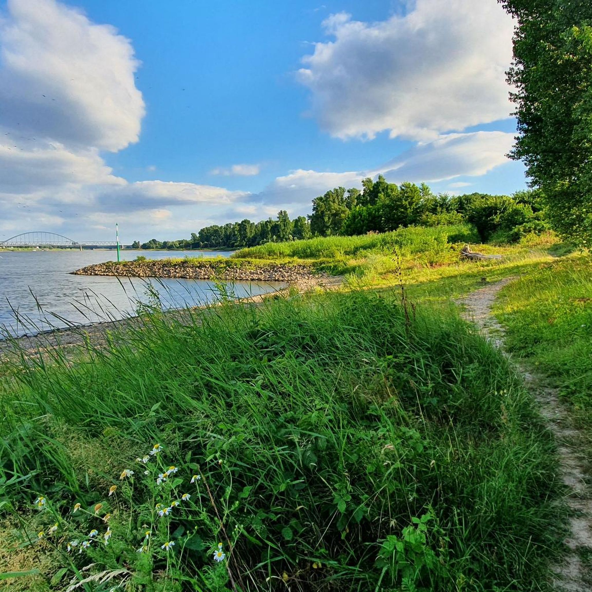
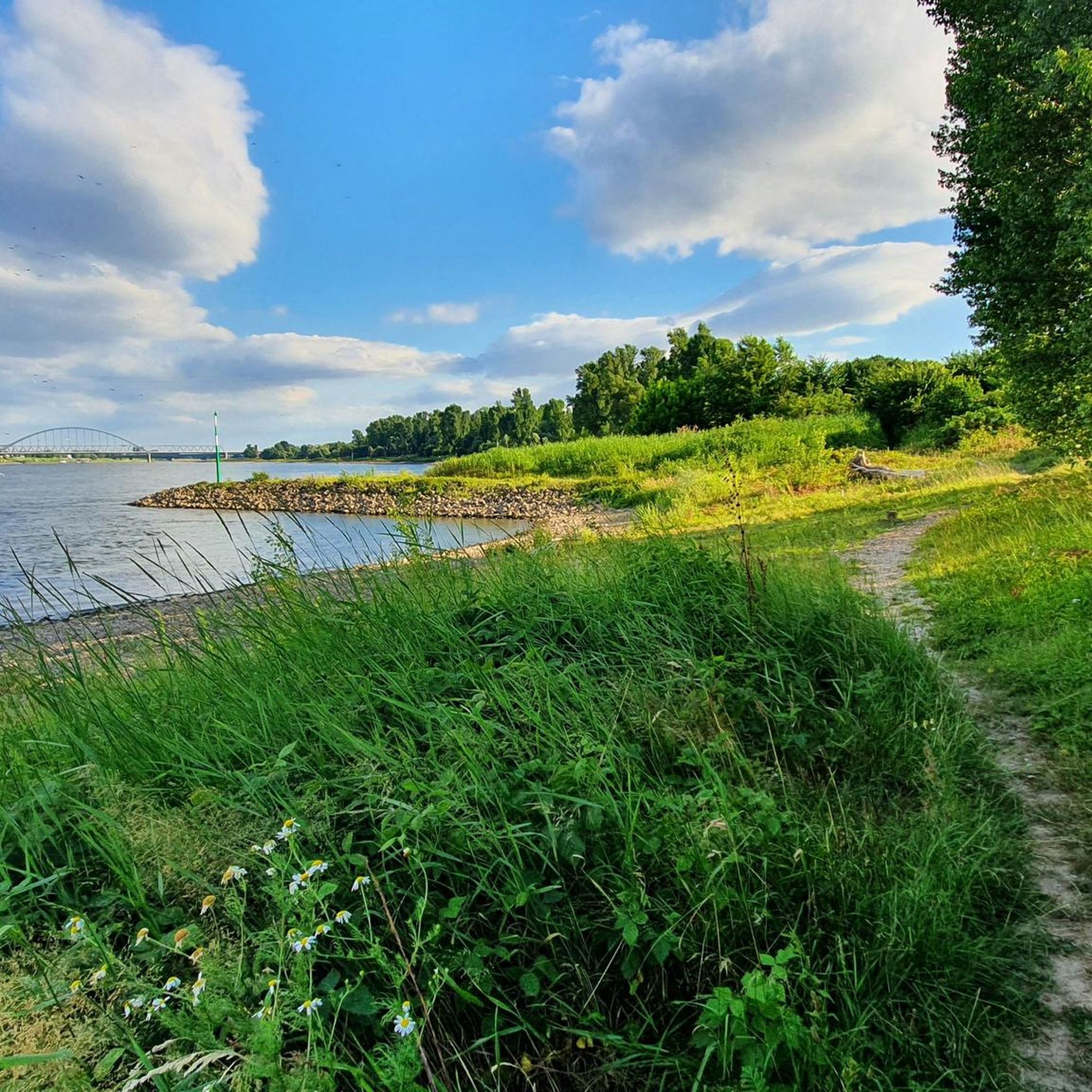
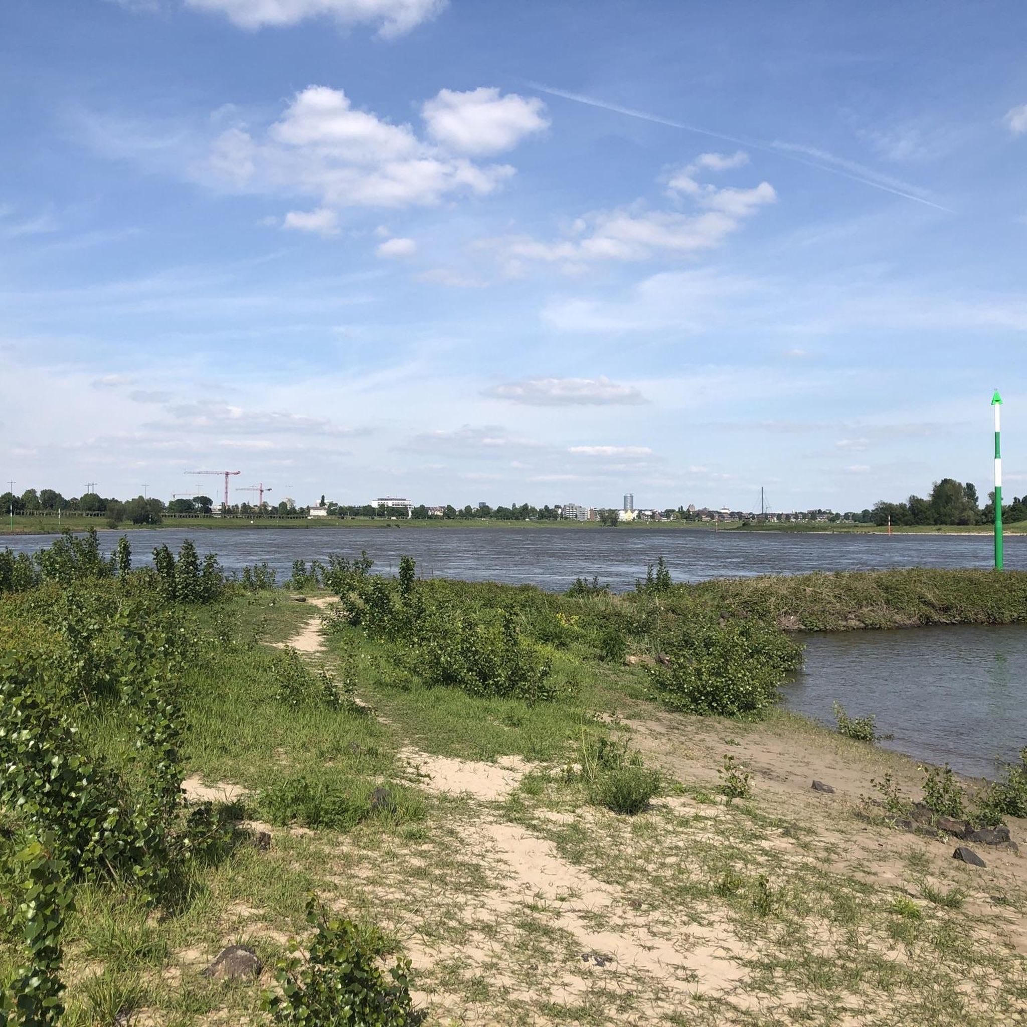
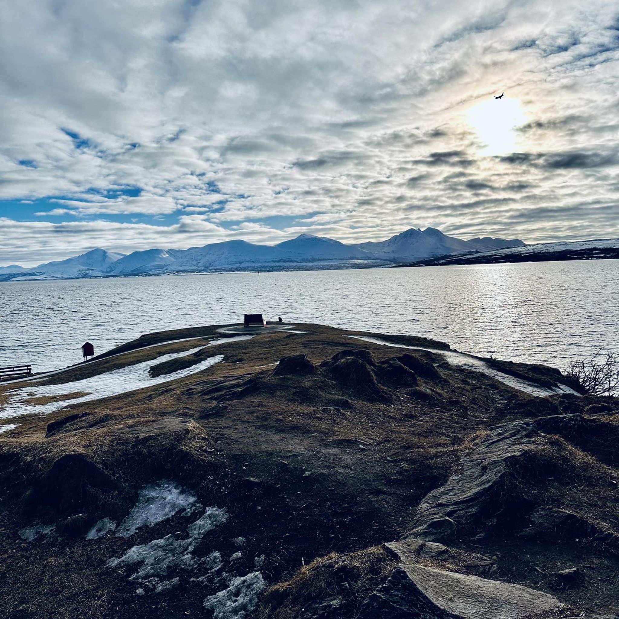
Tips from the Community

It's always nice by the Rhine.
0
0

Left Rhine cycle path, largely paved
0
0

Beautiful, rural route predominantly through green areas.
0
0
good bike path tip - Top.
0
0
Beautiful there and always good for a break.
0
0

You should definitely take a break here. There are various seating options. Chairs, armchairs, loungers, beach chairs. For consumption: beer, snacks, afternoon coffee - cake, and from 5 p.m. the charcoal glows for grilling. The noise level is manageable. No car noise, you only hear planes taking off or landing in the background. Sculptures are self-made. You can ask? Maybe some are for sale.
0
0

There are always some turtles on the branches in the water sunbathing.
1
0

Highly recommended… Free parking nearby… Great routes along the way… What more could you want? We'll be back, that's for sure 😉
0
0
Frequently Asked Questions
What kind of terrain can I expect on road cycling routes around Ölgangsinsel?
Road cycling routes around Ölgangsinsel primarily feature mostly paved surfaces, offering a mix of flat riverside paths and gently rolling terrain. While generally flat, some longer or more challenging routes might include unpaved sections. The region is known for its pleasant and visually appealing landscapes, from expansive natural views to tranquil riverside scenery.
How many road cycling routes are available in the Ölgangsinsel area?
There are over 700 road cycling routes available around Ölgangsinsel, catering to various skill levels. This includes more than 180 easy routes, nearly 500 moderate routes, and over 30 more challenging options for experienced cyclists.
Are there routes suitable for beginners or those looking for an easy ride?
Yes, Ölgangsinsel offers numerous easy road cycling routes, many of which are flat and have minimal elevation gain. These are perfect for beginners or those seeking a relaxed ride, often lasting up to two hours. You can find over 180 easy routes in the area.
What are some notable natural features or landmarks I might see while cycling around Ölgangsinsel?
As a nature reserve, Ölgangsinsel offers tranquil environments and opportunities for nature observation, including a rare gray heron colony and orioles. Cyclists can also enjoy extensive riverside scenery along the Rhine River. Routes often provide views of significant structures like the Fleher Bridge or the Airport Bridge, and some even extend to urban landscapes like Düsseldorf's MedienHafen.
What do other road cyclists say about the routes in Ölgangsinsel?
The road cycling routes around Ölgangsinsel are highly rated by the komoot community, with an average score of 4.4 stars from over 2,700 reviews. More than 42,000 road cyclists have explored the area using komoot, often praising the scenic riverside paths, the tranquil nature reserve environment, and the well-maintained surfaces.
Can I find longer, more challenging road cycling routes near Ölgangsinsel?
Yes, while Ölgangsinsel itself offers many accessible routes, the broader region provides options for more challenging rides. These can extend up to five hours or more, sometimes involving unpaved sections and requiring good fitness. For example, the View of Fleher Bridge – Rhine Dike Path near Düsseldorf loop from Comenius-Gymnasium is a moderate 70.9 km route, and the View of Düsseldorf's MedienHafen – Dyck Castle loop from Düsseldorf-Hamm covers 72.2 km.
Are there any circular road cycling routes in the area?
Many of the road cycling routes around Ölgangsinsel are designed as loops, allowing you to start and end at the same point. Examples include the popular Rahmer Kirchweg – View of the Airport Bridge loop from Nikolaus-Knopp-Platz and the Sensory Park – Lauvenburg loop from Vogesenstraße.
Is Ölgangsinsel well-connected to broader cycling networks?
Yes, Ölgangsinsel is seamlessly integrated into the surrounding road cycling networks. Its proximity to the Rhine River means many routes are part of broader regional cycling networks, such as those in the Rhineland cycling region, and can even connect to long-distance routes like EuroVelo 15. This allows for diverse and extended cycling tours.
What is the best time of year for road cycling around Ölgangsinsel?
The region is generally pleasant for cycling throughout the warmer months. Spring and autumn offer comfortable temperatures and beautiful scenery. While specific weather conditions can vary, the well-maintained and mostly paved routes make cycling enjoyable in various seasons, though winter cycling would depend on individual preference and road conditions.
Are there any specific routes that offer particularly scenic views?
Many routes along the Rhine River offer captivating scenic views. For example, the Rahmer Kirchweg – View of the Airport Bridge loop from Nikolaus-Knopp-Platz provides views of the Airport Bridge and the Rhine. Another option, the View of Fleher Bridge – View of Düsseldorf's MedienHafen loop from Neuss Rheinparkcenter, offers varied scenery including the Fleher Bridge and Düsseldorf's MedienHafen.
Is Ölgangsinsel suitable for family-friendly road cycling?
Yes, the abundance of easy routes with minimal elevation gain and mostly paved, low-traffic surfaces makes Ölgangsinsel a good option for family-friendly road cycling. These routes provide a relaxed and safe cycling experience for all ages.
Can I access Ölgangsinsel's road cycling routes using public transport?
While the guide focuses on the routes themselves, Ölgangsinsel is located within the Rhine district of Neuss, which is generally well-served by public transport in Germany. Cyclists can often use regional trains or buses to reach starting points near the nature reserve, though specific transport options for bikes should be checked with local providers.
Most popular routes around Ölgangsinsel

Get inspired with the komoot mobile app


Explore more
Browse the best Road cycling routes in other regions.
