StadtForest Muttental
StadtForest Muttental
The best road cycling routes around StadtForest Muttental
4.4
(1601)
21,108
riders
231
rides
Road cycling routes around StadtForest Muttental traverse a diverse landscape within the Ennepe-Ruhr-Kreis, characterized by the Muttental Valley and its connection to the Ruhr River. The region offers scenic rides through river meadows and historical mining areas. Road cyclists can expect varied terrain, including sections of the Ruhr Valley Cycle Route, providing accessible paths for different fitness levels. The area's natural features, such as the Muttenbach Stream and the Hardenstein Nature Reserve, contribute to a refreshing cycling experience.
Best road…
Last updated: July 8, 2026
4.8
(54)
881
riders
89.1km
03:44
500m
500m
Moderate road ride. Good fitness required. Some segments of this route may be unpaved and difficult to ride.
4.4
(53)
665
riders
34.4km
01:29
210m
210m
Moderate road ride. Great for any fitness level. Some segments of this route may be unpaved and difficult to ride.

Sign up for free
4.5
(4)
128
riders
Moderate road ride. Good fitness required. Mostly well-paved surfaces and easy to ride.
4.2
(5)
70
riders
68.1km
02:49
380m
380m
Moderate road ride. Good fitness required. Some segments of this route may be unpaved and difficult to ride.
3.0
(1)
81
riders
Moderate road ride. Good fitness required. Mostly well-paved surfaces and easy to ride.
Get access to more routes and recommendations from other explorers.
Sign up for free
Already have an account?
Our route recommendations are based on thousands of hikes, rides, and runs completed by other people on komoot.
Start today with a free account
Your next adventure awaits.
Login or Signup
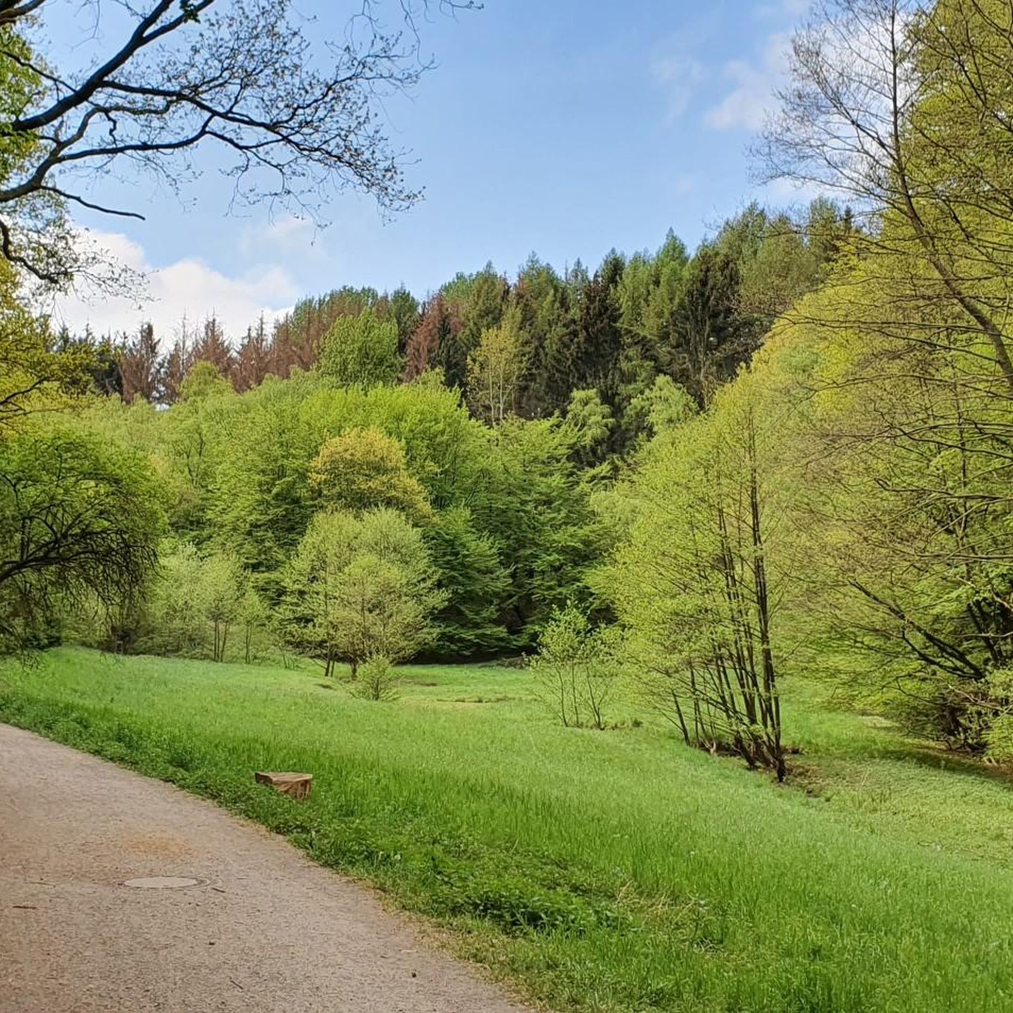
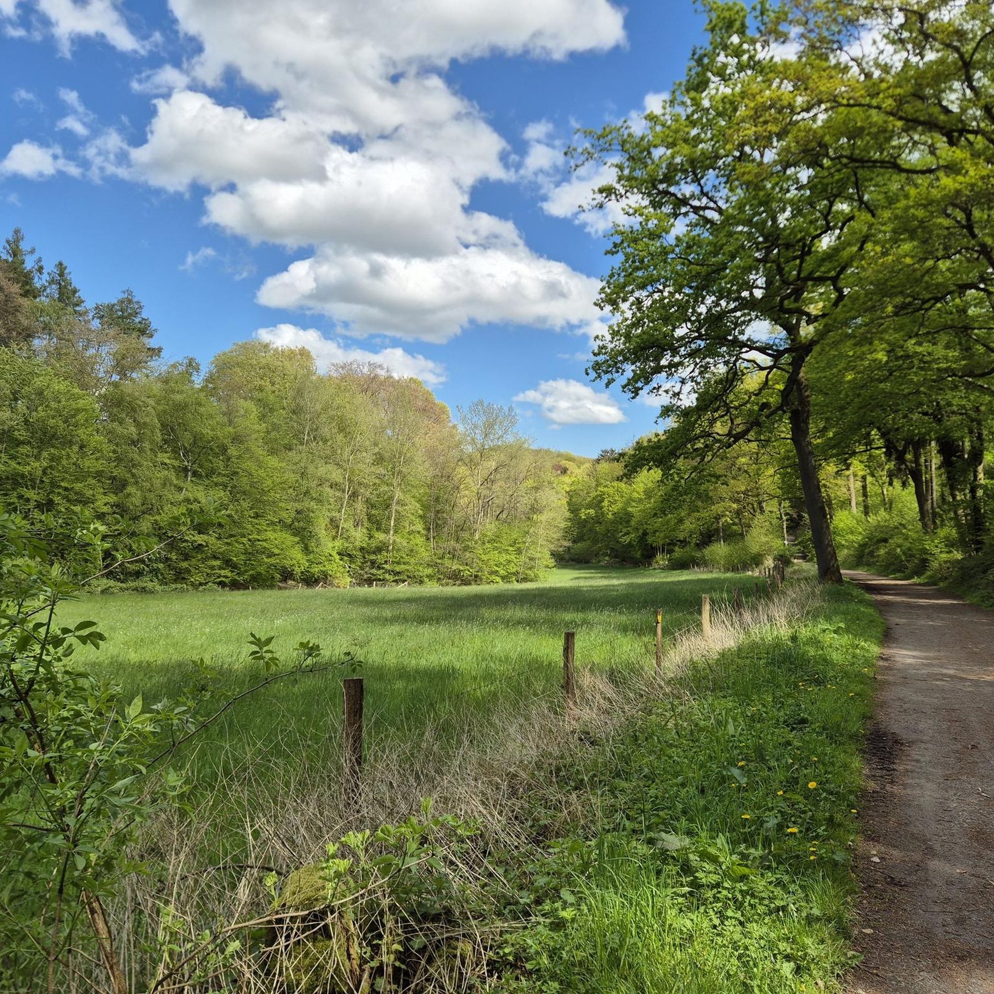
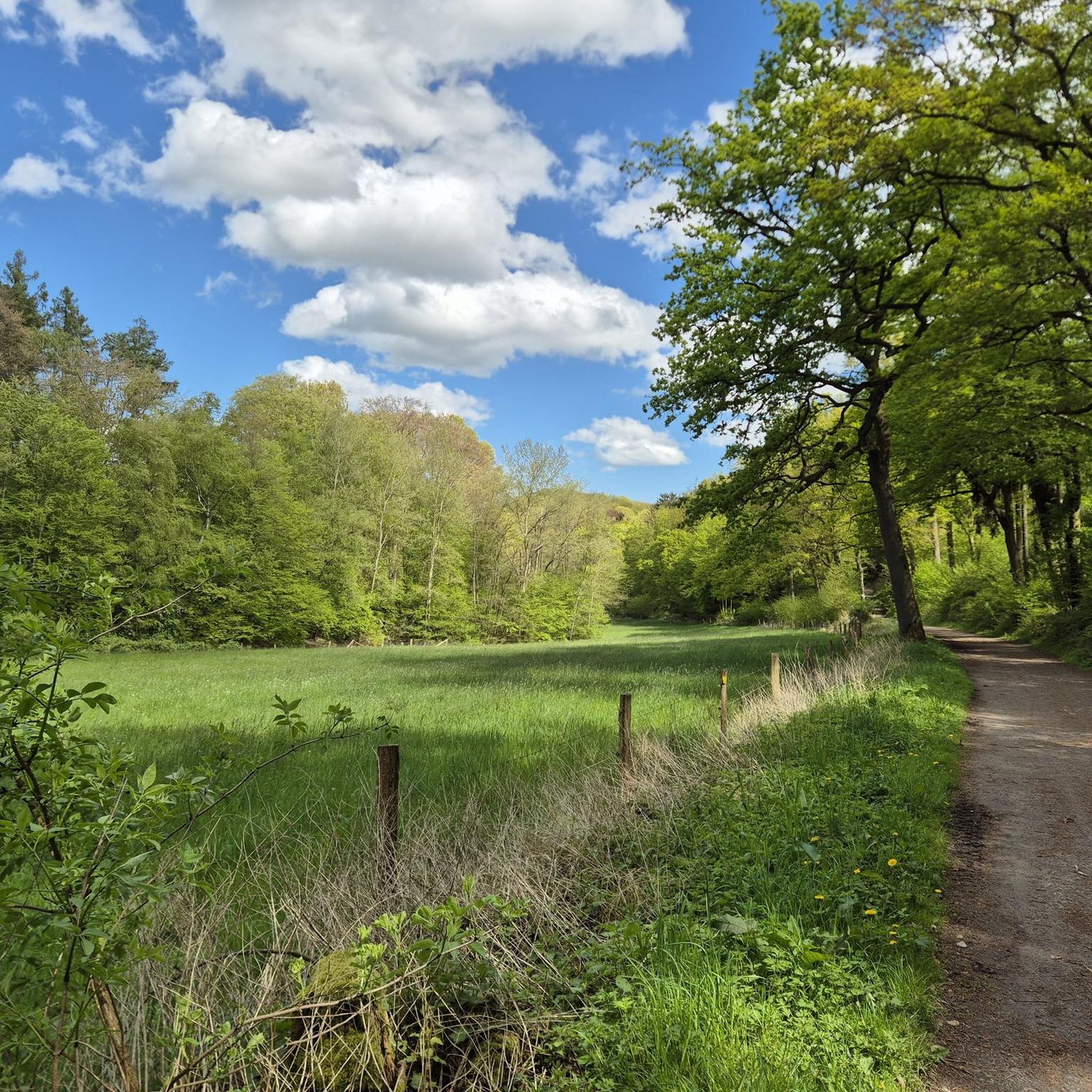
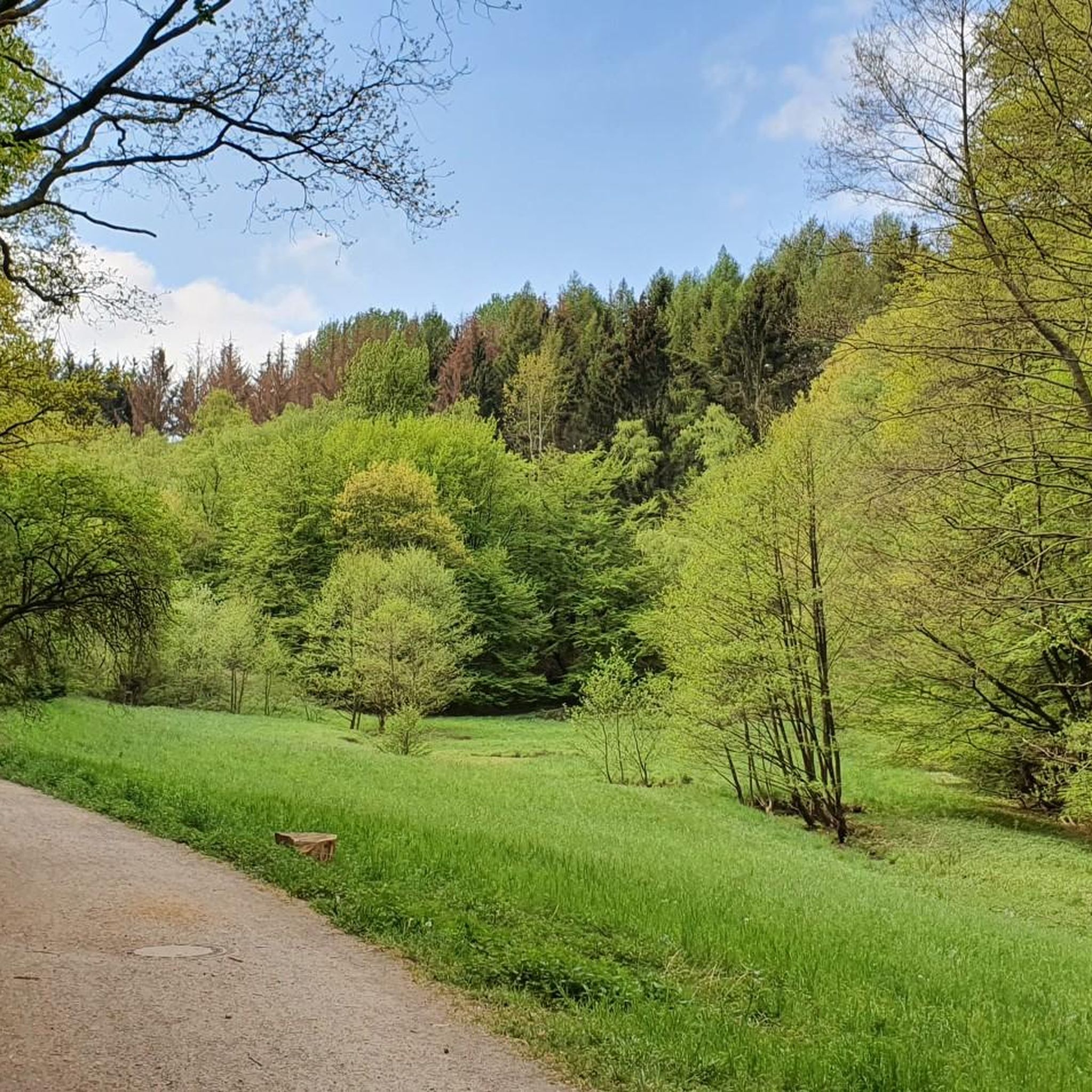
Tips from the Community

At 8% incline, you are allowed to stop and enjoy the scenery 😉
0
0

Common sense, don't go on the weekend - too crowded
0
0

The name Kosterstraße and that of the Kosterbrücke (bridge) go back to the designation "an der Kost" for the southern Ruhrauen area, which is still used in local parlance today. The Kosthaus locality has been located below the bridge since time immemorial. Today, the street "An der Kost" is located in Welper at this point, leading under the bridge.
1
0

Mega beautiful view of the Ruhr
2
0

Driving along the Ruhr is always fun. Enjoy the beautiful nature.
1
0


beautiful paved bike path along the river
3
0

great climb training on Wilhelmlshöher Weg
3
0
Frequently Asked Questions
How many road cycling routes are available in StadtForest Muttental?
There are over 220 road cycling routes around StadtForest Muttental, offering a wide range of options for different skill levels and preferences.
What is the typical terrain like for road cycling in StadtForest Muttental?
Road cycling in StadtForest Muttental features a diverse landscape, including scenic rides through the Muttental Valley, along the Ruhr meadows, and sections of the Ruhr Valley Cycle Route. You can expect varied terrain, from flat river paths to gentle climbs, often passing through historical mining areas and natural reserves like Hardenstein.
What are the difficulty levels of road cycling routes in StadtForest Muttental?
The routes cater to various abilities. Approximately 37 routes are considered easy, 147 are moderate, and 39 are more difficult, ensuring there's a suitable challenge for every road cyclist.
What do other cyclists say about road cycling in StadtForest Muttental?
The komoot community highly rates road cycling in StadtForest Muttental, with an average score of 4.4 stars from over 1,700 reviews. More than 23,000 road cyclists have used komoot to explore the area, often praising the varied terrain and scenic beauty.
Are there any historical sites or landmarks to see along the road cycling routes?
Yes, the region is rich in history, particularly related to coal mining. You can explore the Margarethe Shaft, the Jupiter Mine Entrance, and the Muttentalbahn Mining Cart Memorial. The Hardenstein Castle ruins are also a notable historical landmark directly on the Ruhr.
What natural features can I expect to see while road cycling in the area?
You'll encounter diverse natural beauty, including the picturesque Muttental Valley, the serene Ruhr meadows, and the Muttenbach Stream. The routes often pass through the Hardenstein Nature Reserve, offering refreshing natural backdrops.
Are there circular road cycling routes in StadtForest Muttental?
Yes, many road cycling routes in StadtForest Muttental are designed as loops. For example, consider the moderate route View of the Ennepetal Dam – View of the Ennepetalsperre loop from Witten Hbf, which offers a challenging 70 km circular ride with significant elevation.
How can I reach the road cycling routes in StadtForest Muttental by public transport?
Many routes, such as those starting from Witten Hbf, are accessible by public transport. Witten Hbf serves as a convenient starting point, allowing you to connect to various road cycling paths in the region.
Where can I park my car when going road cycling in StadtForest Muttental?
Parking is generally available at common starting points for cycling routes, particularly in and around Witten, which serves as a central hub for many tours in the StadtForest Muttental area. Specific parking information can often be found on individual route pages.
Are there options for family-friendly road cycling?
While road cycling routes can vary, the region offers accessible paths suitable for different fitness levels. Look for routes categorized as 'easy' in the guide, which often feature flatter sections along river meadows, making them more suitable for families.
When is the best time of year for road cycling in StadtForest Muttental?
The spring, summer, and early autumn months generally offer the most pleasant conditions for road cycling in StadtForest Muttental, with milder weather and lush scenery. Always check local weather forecasts before heading out.
Are there places to stop for refreshments along the road cycling routes?
Yes, the region has various cafes, restaurants, and pubs, especially in towns and villages along the routes and near popular attractions. These provide opportunities to refuel and relax during your ride.
Are there any longer road cycling routes for experienced riders?
Experienced riders looking for a longer challenge can explore routes like Dellwig House – Bladenhorst Castle loop from Witten Hbf. This moderate 52 km route features over 350 meters of elevation gain, offering a substantial ride through varied landscapes.
Most popular routes around StadtForest Muttental
Most popular attractions around StadtForest Muttental

Get inspired with the komoot mobile app


Explore more
Browse the best Road cycling routes in other regions.
