The best walks and hikes around Naturschutzgebiet Gain
4.5
(360)
1,277
hikers
192
hikes
Hiking around Naturschutzgebiet Gain, located in Lüchow-Dannenberg, Lower Saxony, offers diverse and largely natural landscapes. The area is characterized by extensive forest ecosystems, including alder, birch, oak, and beech forests, often growing on glacial till. Numerous waterways, such as the Schwarze Bach and the Dumme river, define the reserve, creating wet and damp conditions with associated wetlands and marshy areas. This designated nature reserve spans 215 hectares, providing varied terrain for outdoor activities.
Best hiking trails around Naturschutzgebiet Gain
- The…
Last updated: August 21, 2026
5.0
(2)
8
hikers
Easy hike. Great for any fitness level. Easily-accessible paths. Suitable for all skill levels.
3.0
(1)
3
hikers
4.27km
01:04
0m
0m
Easy hike. Great for any fitness level. Easily-accessible paths. Suitable for all skill levels.

Sign up for free
4.8
(44)
130
hikers
Easy hike. Great for any fitness level. Easily-accessible paths. Suitable for all skill levels.
5.0
(7)
23
hikers
Moderate hike. Good fitness required. Easily-accessible paths. Suitable for all skill levels.
4.3
(4)
11
hikers
Easy hike. Great for any fitness level. Easily-accessible paths. Suitable for all skill levels.
Get access to more routes and recommendations from other explorers.
Sign up for free
Already have an account?
Our route recommendations are based on thousands of hikes, rides, and runs completed by other people on komoot.
Start today with a free account
Your next adventure awaits.
Login or Signup
Tips from the Community

In Gain, several paths are closed during the breeding and nesting season
1
0
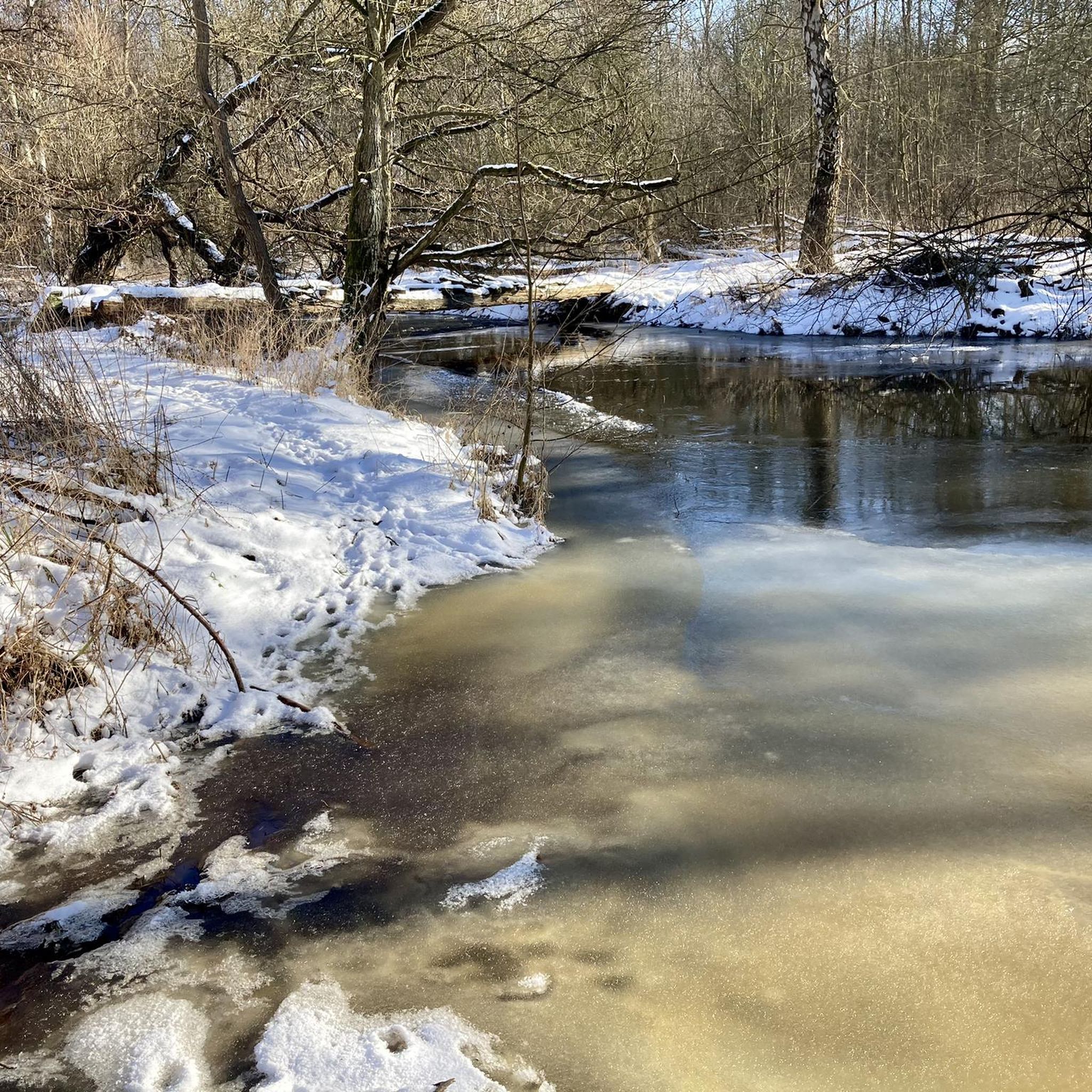
At the same time, there is also a rest area directly by the water with a view of the mill wheel
0
0
View of some ponds
0
0
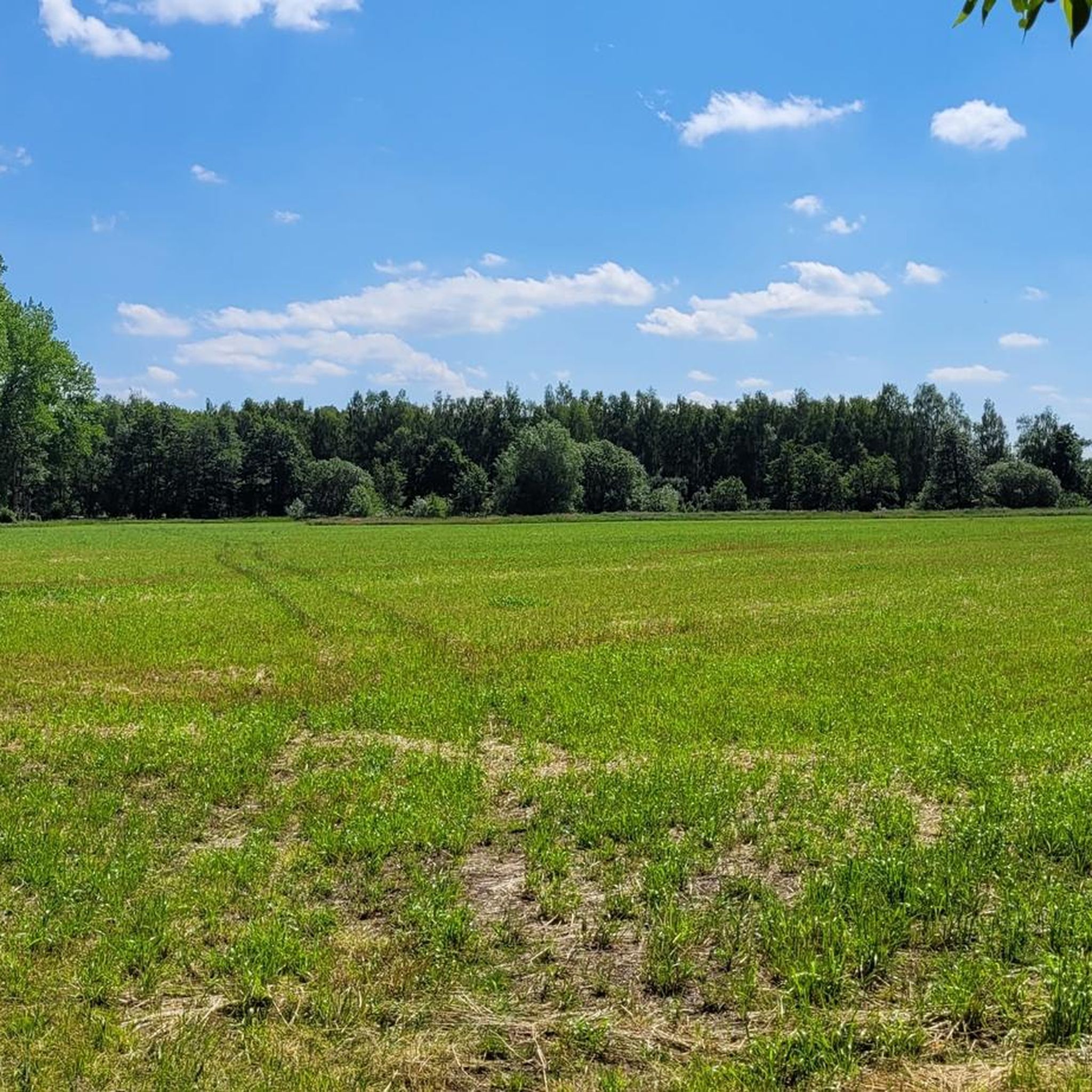
A beautiful meadow landscape in every season
0
0


There used to be huts at the fish ponds where the owners of the fish ponds stored their utensils. It has changed a lot.
0
0
Frequently Asked Questions
How many hiking trails are available in Naturschutzgebiet Gain?
Naturschutzgebiet Gain offers a wide variety of hiking opportunities, with over 200 routes available. These include more than 110 easy trails and over 80 moderate options, ensuring there's something for every skill level.
What kind of landscapes can I expect to see while hiking in Naturschutzgebiet Gain?
The region is characterized by diverse and largely natural landscapes. You'll encounter extensive forest ecosystems, including alder, birch, oak, and beech forests. Numerous waterways like the Schwarze Bach and the Dumme river crisscross the area, creating wet and damp conditions with associated wetlands and marshy environments.
Are there any circular hiking trails in Naturschutzgebiet Gain?
Yes, the area features several circular routes. A notable option is the Crane Meadow – The Gain Nature Reserve loop from Naturschutzgebiet Gain, an easy 7.35 km trail that allows you to experience the diverse natural setting. There is also a designated circular path within the nature reserve itself, equipped with information boards.
What do other hikers enjoy most about hiking in Naturschutzgebiet Gain?
The area is highly rated by the komoot community, with an average score of 4.5 stars from over 300 reviews. Hikers often praise the diverse forest ecosystems, the intricate network of waterways, and the overall natural setting that provides a peaceful outdoor experience.
Are there family-friendly hiking options in Naturschutzgebiet Gain?
Yes, many of the trails are suitable for families. With over 110 easy routes, you can find paths that are less challenging and shorter in duration. For example, the Jiggel Watermill – The Gain Nature Reserve loop from Bergen an der Dumme is an easy 4.9 km trail, perfect for a family outing.
Can I bring my dog on the hiking trails in Naturschutzgebiet Gain?
Naturschutzgebiet Gain is generally welcoming to dogs, but it's important to keep them on a leash, especially given the area's rich biodiversity and status as an FFH and EU bird protection area. This helps protect wildlife and ensures a pleasant experience for all visitors.
What is the best time of year to hike in Naturschutzgebiet Gain?
The diverse forest types and rich undergrowth, including plants like liverwort and wood anemone, make spring a particularly appealing time to visit. The changing scenery throughout the year, however, ensures that the area offers beautiful hiking experiences in every season.
Are there any viewpoints or notable natural features to look out for?
While specific viewpoints aren't highlighted, the region's natural features themselves are the main attraction. Keep an eye out for the diverse forest ecosystems, the numerous watercourses like the Schwarze Bach and Dumme river, and the unique wetland environments. The designated circular path also features information boards to enhance your understanding of the natural surroundings.
Are there any challenging hikes in Naturschutzgebiet Gain?
While the majority of trails are easy to moderate, there are a few more challenging options available. The area offers 3 difficult routes for those seeking a more strenuous experience. You can explore the full range of trails on komoot to find one that matches your desired difficulty.
Is there parking available for hikers near Naturschutzgebiet Gain?
While specific parking locations are not detailed, nature reserves typically provide designated parking areas at main access points. It's advisable to check the starting points of individual routes on komoot for more precise parking information.
How does Naturschutzgebiet Gain connect with other protected areas?
Naturschutzgebiet Gain borders the 'Obere Dummeniederung' nature reserve to the south. A circular path from Bergen an der Dumme leads into both the 'Obere Dummeniederung' and 'Gain' nature reserves, offering opportunities for longer and more varied hiking routes that link these protected landscapes.
Most popular routes around Naturschutzgebiet Gain

Get inspired with the komoot mobile app


Explore more
Browse the best Hikes in other regions.
