The best MTB trails around the Hartmannsdorfer Forest
4.6
(2723)
6,694
riders
589
rides
Mountain biking around the Hartmannsdorfer Forest offers a diverse landscape characterized by dense woodlands, rolling hills, and historical mining areas. The region features a network of trails that wind through forested sections, past reservoirs, and alongside remnants of old salt roads. This area provides varied terrain suitable for different mountain biking experiences, from leisurely rides to more challenging ascents.
Best mountain bike trails around the Hartmannsdorfer Forest
- The most popular mountain bike trail is Hoher Forst Hut – Old Salt…
Last updated: September 28, 2026
5.0
(7)
19
riders
56.3km
04:13
1,030m
1,030m
Hard mountain bike ride. Very good fitness required. Advanced riding skills necessary.
5.0
(1)
7
riders
30.4km
02:12
400m
400m
Moderate mountain bike ride. Good fitness required. Suitable for all skill levels.

5.0
(3)
13
riders
Moderate mountain bike ride. Good fitness required. Suitable for all skill levels.
9
riders
18.8km
01:36
330m
340m
Moderate mountain bike ride. Good fitness required. Suitable for all skill levels.
4.5
(6)
9
riders
54.4km
04:15
950m
950m
Hard mountain bike ride. Very good fitness required. Advanced riding skills necessary. Some portions of the route may require you to push your bike.
Get access to more routes and recommendations from other explorers.
Already have an account?
Our route recommendations are based on thousands of hikes, rides, and runs completed by other people on komoot.
Start today with a free account
Your next adventure awaits.
Popular around Hartmannsdorfer Forest

Hiking with heart in the Ore Mountains
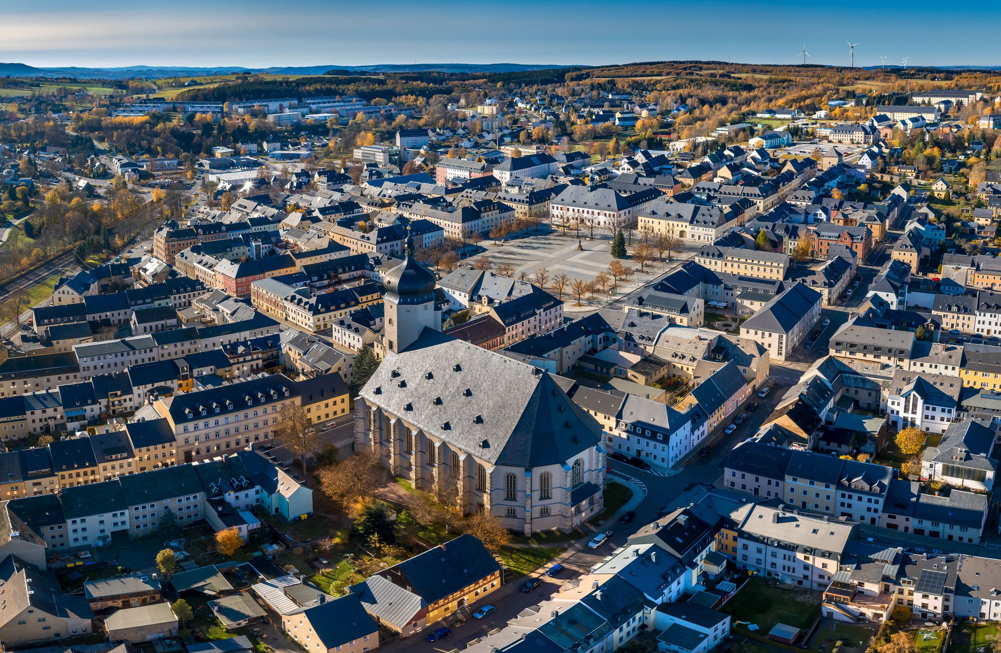
Wandertouren - "Glück Auf" im Welterbe
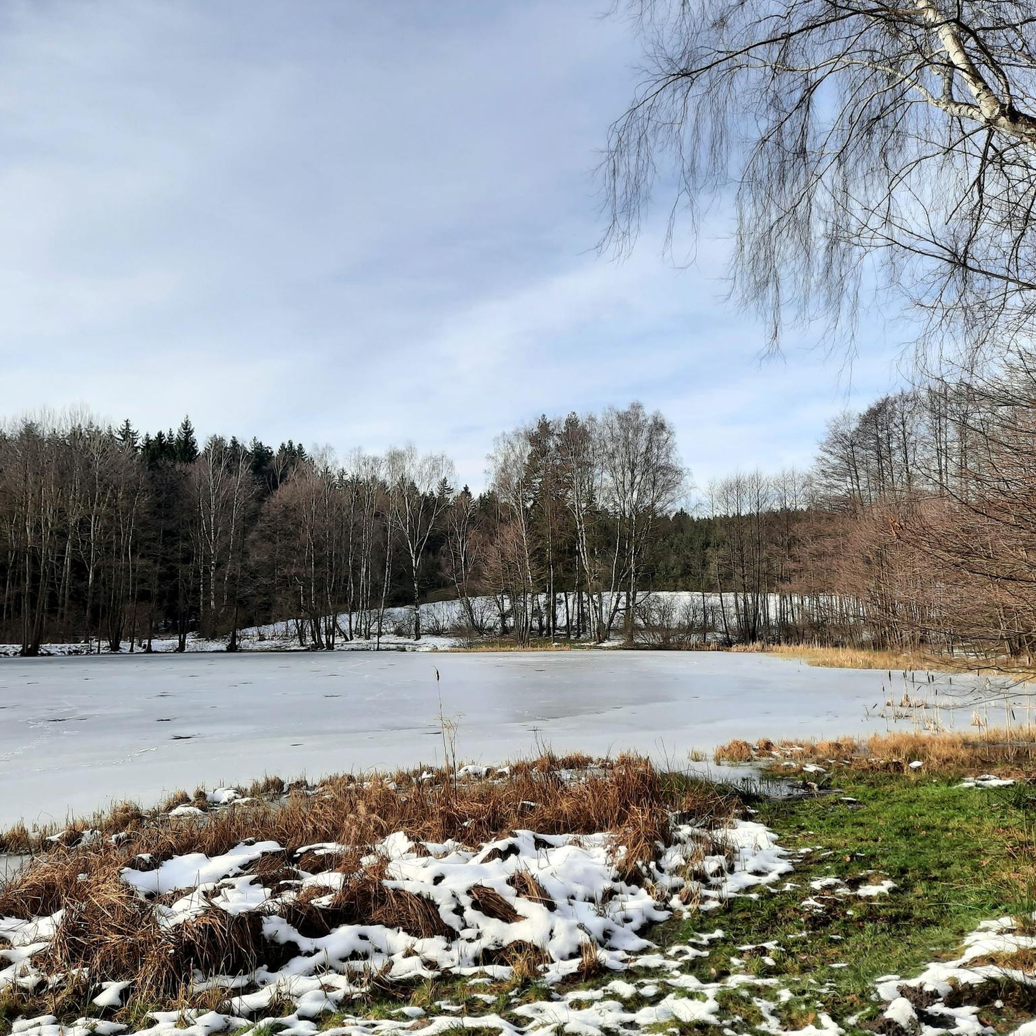
Hiking around the Hartmannsdorfer Forest
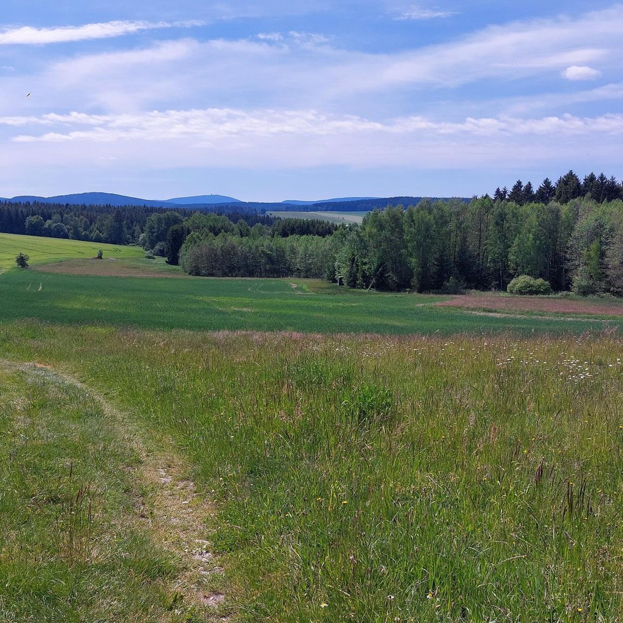
Cycling around the Hartmannsdorfer Forest
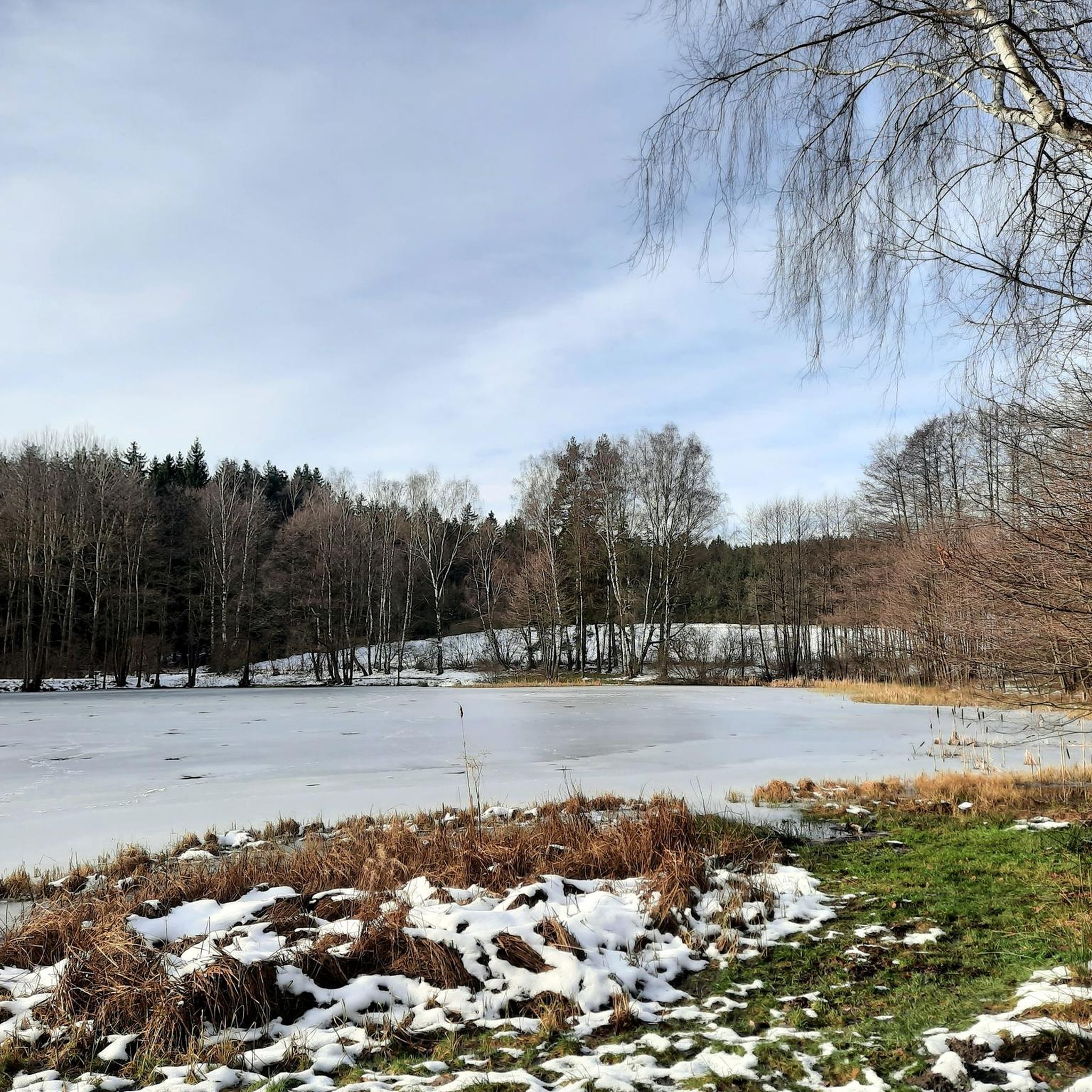
Running Trails around the Hartmannsdorfer Forest
Road Cycling Routes around the Hartmannsdorfer Forest
Gravel biking around the Hartmannsdorfer Forest
Other adventures around the Hartmannsdorfer Forest

Tips from the Community

Definitely worth seeing
1
0

beautiful cycle path away from traffic.
0
0

very nicely laid out, perfectly maintained
0
0

very idyllically located with a resting place
1
0


The SREM (Secundary Radar Equipment) system on the 1018m high Auersberg mountain in the Ore Mountains is one of six such systems in Germany operated by the German Air Navigation Services (DFS). It detects aircraft within a radius of approximately 270 kilometers. Wikipedia
1
0

This is a radar system operated by the German Air Traffic Control (DFS) for en-route air traffic control. The conspicuous large antenna is the primary radar. It emits radio waves that are (passively) reflected by the aircraft and received again by the antenna. The distance to the aircraft is determined from the signal's travel time. The direction of the antenna when receiving the signal indicates the angle relative to north (azimuth). This allows the position of an aircraft to be displayed as a point on the radar screen using polar coordinates (direction and distance). Above the large antenna, another antenna in the shape of a horizontal bar can be seen. This is the antenna of the secondary radar. This transmits a query to the aircraft, which is actively answered by its transponder. The identification code and barometric altitude are transmitted in response. This allows the aircraft to be identified on the radar screen and their altitude to be displayed. In combination with the aircraft's flight plan, this data is used to control air traffic. While the aircraft crew is responsible for navigation and obstacle clearance, air traffic control is responsible for maintaining the distance between aircraft and thus preventing collisions.
4
0
Frequently Asked Questions
How many mountain bike trails are available in the Hartmannsdorfer Forest area?
There are over 650 mountain bike trails around the Hartmannsdorfer Forest. These routes offer a diverse range of experiences, from easy rides through dense woodlands to more challenging ascents and descents.
Are there easy mountain bike trails suitable for beginners in Hartmannsdorfer Forest?
Yes, the Hartmannsdorfer Forest offers a good selection of easy mountain bike trails. With 148 routes classified as easy, beginners can find suitable paths to enjoy the region's natural beauty. These trails typically feature less challenging terrain and elevation changes.
What kind of terrain can I expect on mountain bike trails in the Hartmannsdorfer Forest?
The terrain in Hartmannsdorfer Forest is characterized by dense woodlands, rolling hills, and historical mining areas. Trails often wind through forested sections, past reservoirs, and alongside remnants of old salt roads, providing varied surfaces from forest paths to more open sections.
Are there any family-friendly mountain bike routes in the Hartmannsdorfer Forest?
Many of the easier and moderate trails are suitable for families, especially those looking for a leisurely ride through the forest. These routes often avoid steep climbs and technical descents, focusing on scenic and enjoyable paths. Consider exploring routes around the KIEZ at Filzteich or Filz Pond for gentler options.
What are some longer, more challenging mountain bike trails in the region?
For those seeking a more demanding ride, the Hartmannsdorfer Forest has 95 difficult trails. A notable challenging route is the Forstteich Lindenau – View of Pöhl Reservoir and Dam loop from Lindenau, which covers 33.4 miles (53.7 km) with significant elevation changes, offering a strenuous but rewarding experience.
What is the best season for mountain biking in Hartmannsdorfer Forest?
The Hartmannsdorfer Forest is generally enjoyable for mountain biking from spring through autumn. Spring brings lush greenery, while autumn offers vibrant foliage. Summer is also popular, but trails can be busier. Winter riding is possible, but conditions may vary with snow and ice, requiring appropriate gear and caution.
Are there circular mountain bike routes available in Hartmannsdorfer Forest?
Yes, many mountain bike trails in the Hartmannsdorfer Forest are designed as circular routes, allowing you to start and end at the same point. Examples include the popular Hoher Forst Hut – Old Salt Road loop from Heide und Moorwald am Filzteich and the Keilberg Observation Tower – Brick pond loop from Schneeberg.
What interesting landmarks or attractions can I see along the mountain bike trails?
The region offers several points of interest. You can encounter historical mining structures like the Türkschacht Mining Tower – Türkschacht headframe near Zschorlau. Other attractions include the Hirschenstein Summit and Triangulation Station for panoramic views, and various serene lakes such as Filz Pond and Stock Pond.
What do other mountain bikers enjoy most about the Hartmannsdorfer Forest?
The Hartmannsdorfer Forest is highly rated by the komoot community, with an average score of 4.6 stars from over 2,100 reviews. Mountain bikers often praise the diverse landscape, the well-maintained forest paths, and the mix of historical sites with natural beauty. Many appreciate the variety of trails suitable for different skill levels.
Are there opportunities for refreshments or pub stops along the mountain bike routes?
While specific pub stops on every trail are not guaranteed, the region does have places like the Torfstich Snack Bar, which can be found near some routes. It's advisable to check the specific route details on komoot for points of interest and refreshment options along your chosen path.
Where can I find less crowded mountain bike trails in the Hartmannsdorfer Forest?
To find less crowded trails, consider exploring routes further away from the most popular starting points or during off-peak hours. Many of the 650+ trails offer a sense of solitude, especially those that venture deeper into the forest or are slightly longer. The Old Salt Road – Little Hirschenstein loop from Hartmannsdorf is a moderate option that can offer a quieter experience.
Most popular routes around the Hartmannsdorfer Forest
Most popular attractions around the Hartmannsdorfer Forest

Get inspired with the komoot mobile app


Explore more
Browse the best MTB trails in other regions.
