The best road cycling routes around KämmereiForest
4.4
(87)
1,209
riders
16
rides
Road cycling routes around KämmereiForest traverse a landscape characterized by dense forests and rolling hills within Nordsachsen. The region features varied terrain, including paths through green valleys and along river systems. Road cyclists can expect routes that wind through forested areas and open countryside, offering a mix of gradients. The area's geography provides a network of routes suitable for different skill levels.
Best road cycling routes around KämmereiForest
- The most popular road cycling route is Mulde Bridge, Eilenburg – Mulde Bridge in Bad Düben loop from Kämmereiforst, a 31.8 miles (51.1 km) trail that takes 2 hours to complete. This moderate route features gentle elevation changes through the local landscape.
- Another top favourite among local road cyclists is Mulde River – Mulde Bridge, Eilenburg loop from Kämmereiforst, a moderate 36.8 miles (59.3 km) path. This route offers views of the Mulde River and surrounding forested areas.
- Local road cyclists also love the Town Hall and St. Nicholas' Church – Mulde Bridge, Eilenburg loop from Kämmereiforst, a 51.7 miles (83.2 km) trail leading through varied terrain, often completed in about 3 hours 44 minutes.
- Road cycling around KämmereiForest is defined by dense woodlands, river valleys, and rolling hills. The network offers options for different ability levels, from moderate rides to more challenging routes.
- The routes in KämmereiForest are highly rated by the komoot community with an average score of 4.3 stars from over 13 reviews. More than 170 road cyclists have used komoot to explore KämmereiForest's varied terrain.
Last updated: May 23, 2026
3.0
(3)
56
riders
Moderate road ride. Good fitness required. Mostly well-paved surfaces and easy to ride.
3.5
(2)
30
riders
59.3km
02:27
260m
260m
Moderate road ride. Good fitness required. Some segments of this route may be unpaved and difficult to ride.

Sign up for free
5.0
(4)
24
riders
Moderate road ride. Good fitness required. Some segments of this route may be unpaved and difficult to ride.
4.5
(4)
19
riders
35.6km
01:26
100m
100m
Moderate road ride. Great for any fitness level. Some segments of this route may be unpaved and difficult to ride.
5.0
(1)
7
riders
90.3km
04:05
290m
290m
Moderate road ride. Good fitness required. Some segments of this route may be unpaved and difficult to ride.
Get access to more routes and recommendations from other explorers.
Sign up for free
Already have an account?
Our route recommendations are based on thousands of hikes, rides, and runs completed by other people on komoot.
Start today with a free account
Your next adventure awaits.
Login or Signup
Tips from the Community


His 3.50 m high Nachbarbierbrunnen (neighbor beer fountain) by the village pond is a landmark for the custom of "giving neighbor beer". Source https://www.gemeinde-trossin.de/g_dahl.html
1
0

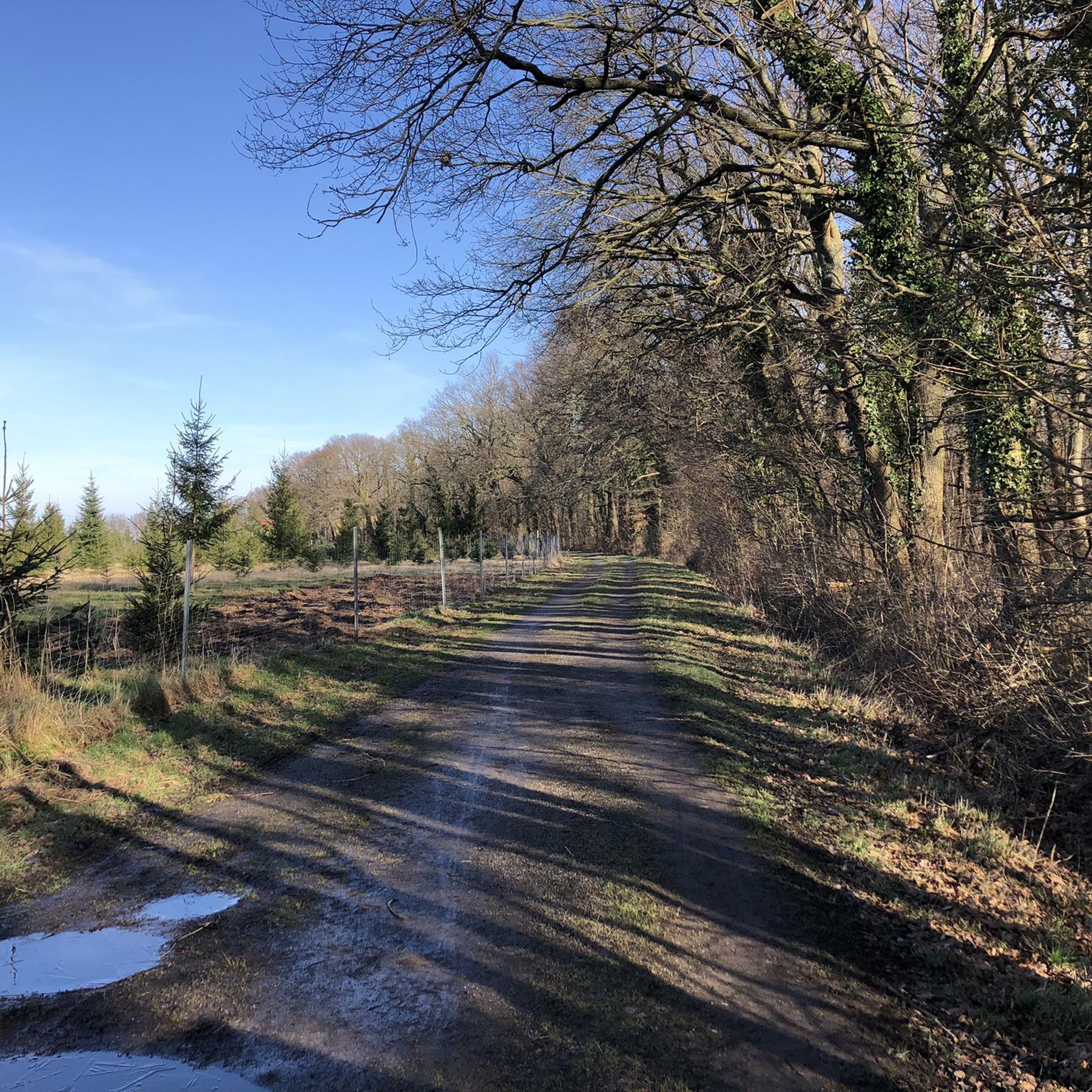
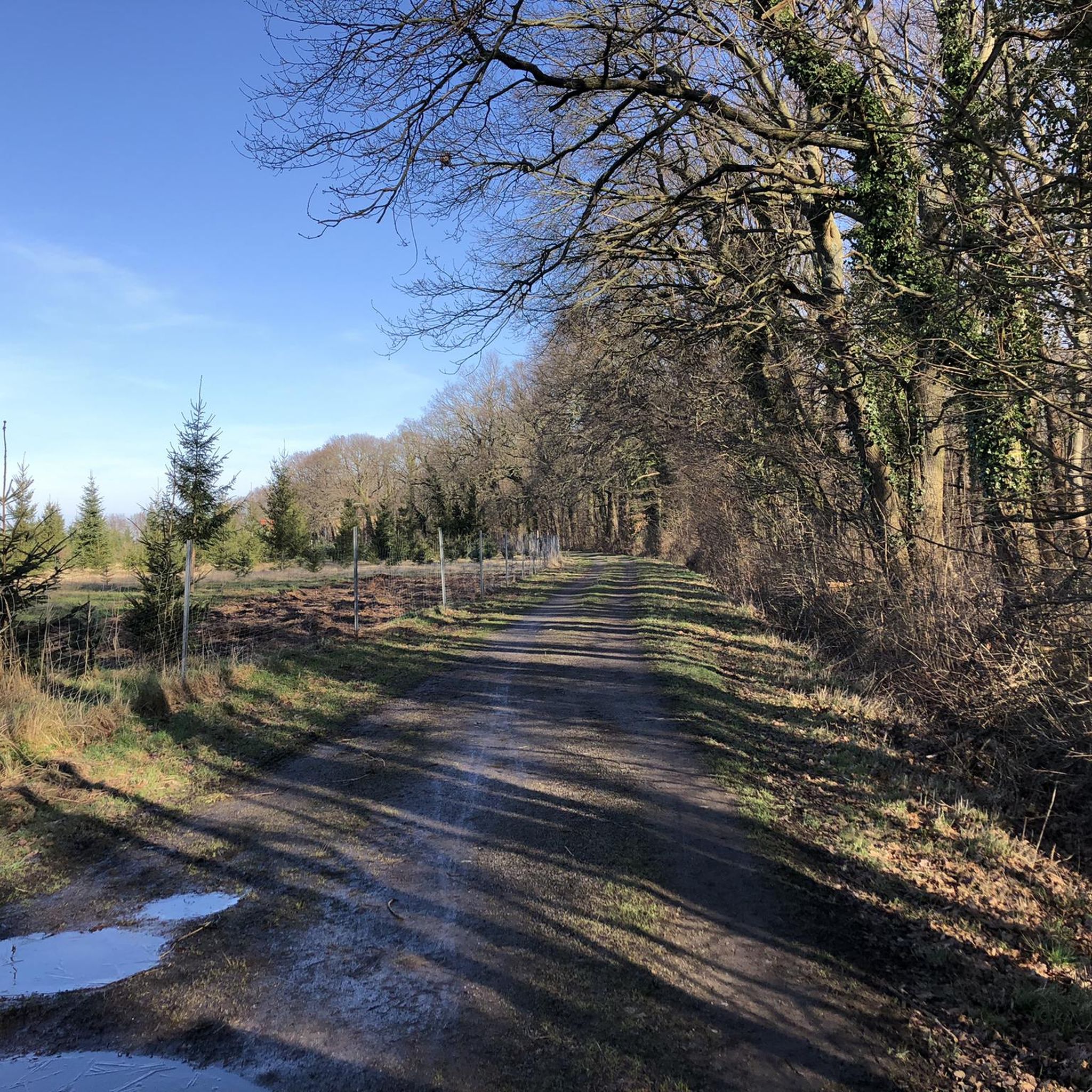
Good asphalt. Off the roads. Rides great!
0
0

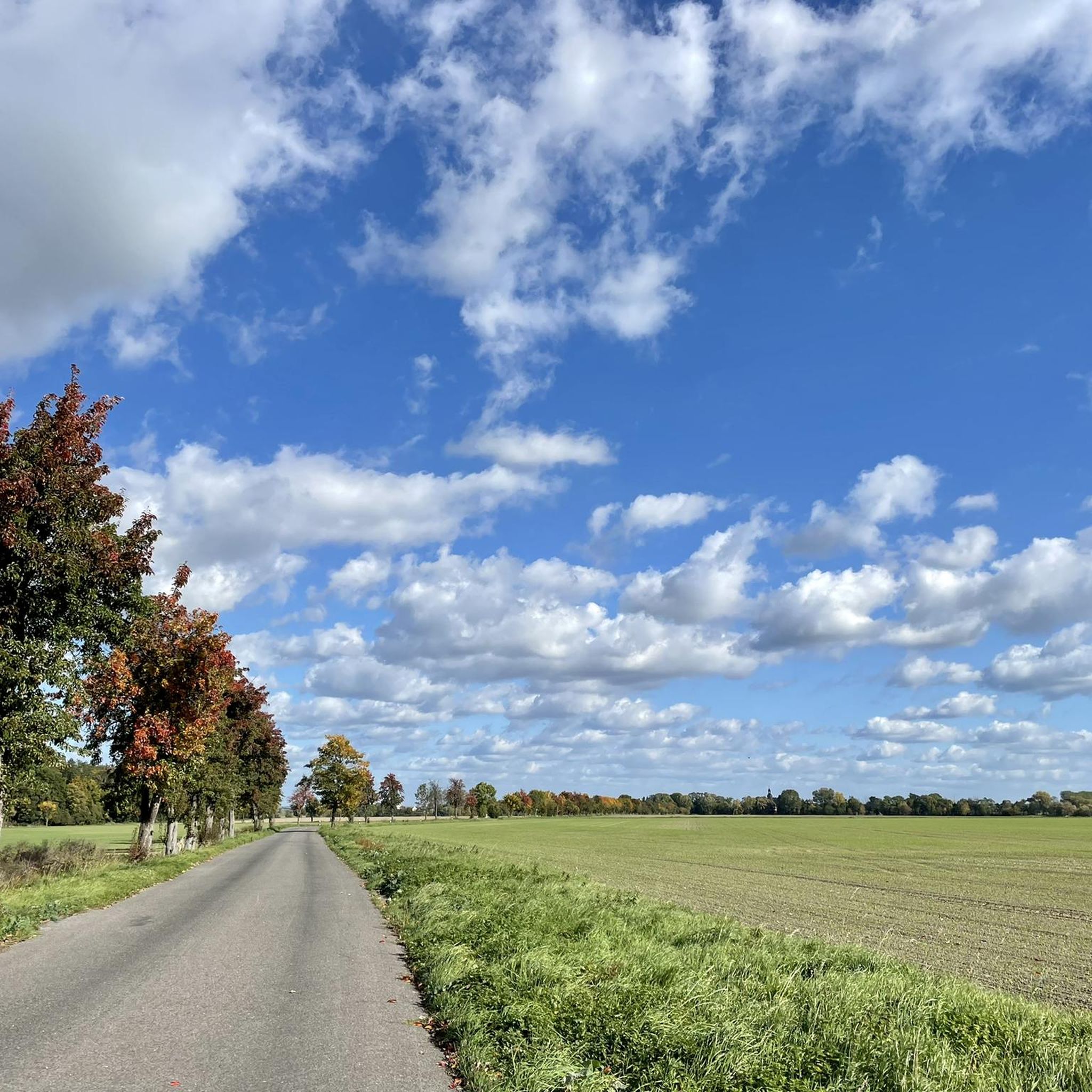
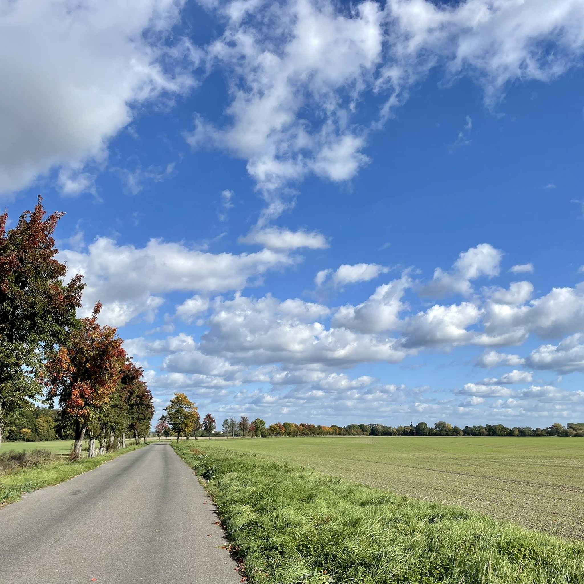
Good asphalt, traffic is still okay during the week.
0
0
Magnificent view of the Mulde from the bridge
7
0

Fountain on the market square in front of the town hall.
1
0

Broken bike! No problem: Radhaus am Markt Wurzen had the front fork repaired. No problems and done immediately. Great service, thank you very much, I was able to continue riding immediately.
0
0
Frequently Asked Questions
How many road cycling routes are available in KämmereiForest?
There are 16 road cycling routes around KämmereiForest, offering a variety of options for exploring the region's dense forests and rolling hills.
What is the typical terrain and elevation like for road cycling in KämmereiForest?
Road cycling routes in KämmereiForest traverse a landscape characterized by dense forests and rolling hills. You can expect varied terrain, including paths through green valleys and along river systems. Elevation changes are generally moderate, with routes like Mulde River – Mulde Bridge, Eilenburg loop from Kämmereiforst featuring around 255 meters of elevation gain.
Are there any circular road cycling routes in KämmereiForest?
Yes, many of the road cycling routes in KämmereiForest are designed as loops. For example, the popular Mulde Bridge, Eilenburg – Mulde Bridge in Bad Düben loop from Kämmereiforst is a 51.1 km circular trail, and the Town Hall and St. Nicholas' Church – Mulde Bridge, Eilenburg loop from Kämmereiforst is an 83.2 km loop.
What kind of distances can I expect on road cycling routes in KämmereiForest?
The road cycling routes in KämmereiForest vary in length. You can find routes ranging from moderate distances like the 35.1 km View of the Mühlgraben – View of Eilenburg Castle loop from Kämmereiforst, up to longer rides such as the 84.8 km Mulde Bridge, Eilenburg – Marktplatz Bad Düben loop from Kämmereiforst.
Are there any more challenging routes for experienced road cyclists?
While most routes in KämmereiForest are classified as moderate, there is one difficult route available for experienced road cyclists seeking a greater challenge. These routes typically feature more significant elevation changes or longer distances.
What are some notable landmarks or viewpoints along the road cycling routes?
Many routes offer scenic views of the Mulde River and surrounding forested areas. The Town Hall and St. Nicholas' Church – Mulde Bridge, Eilenburg loop from Kämmereiforst, for instance, passes by significant local architecture. You can also find routes that offer specific viewpoints like the View of the Mühlgraben – View of Eilenburg Castle loop from Kämmereiforst.
What do other cyclists enjoy most about road cycling in KämmereiForest?
The road cycling routes in KämmereiForest are highly rated by the komoot community, with an average score of 4.3 stars from over 13 reviews. Cyclists often praise the varied terrain, the mix of forested areas and open countryside, and the scenic views along the Mulde River.
Is there parking available near the road cycling routes in KämmereiForest?
While specific parking locations are not detailed in the route descriptions, it is generally advisable to look for public parking facilities in nearby towns or designated trailheads. Many routes start from locations that are accessible by car, such as those originating from Kämmereiforst itself or nearby Eilenburg.
What is the best time of year for road biking in KämmereiForest?
The region's dense forests and river valleys make it enjoyable during spring and autumn when foliage is vibrant. Summer offers longer daylight hours, while winter conditions might require checking local road conditions due to potential ice or snow, though specific seasonal advice for KämmereiForest is not available.
Are the road cycling routes in KämmereiForest suitable for families?
The routes around KämmereiForest are predominantly classified as moderate. While there are no specifically designated 'easy' routes, families with older children or those comfortable with moderate distances and gentle elevation changes may find suitable options. Always check individual route details for distance and elevation before setting out with family.
Can I find cafes or places for refreshments along the routes?
The routes often pass through or near towns like Eilenburg and Bad Düben, where you can expect to find cafes, restaurants, and other amenities for refreshments. It's always a good idea to plan your stops in advance, especially on longer routes.
Most popular routes around KämmereiForest

Get inspired with the komoot mobile app


Explore more
Browse the best Road cycling routes in other regions.
