The best cycling routes around Höckendorf Heath
4.6
(1319)
6,776
riders
429
rides
Touring cycling around Höckendorf Heath offers routes through a landscape characterized by extensive heathlands, pine forests, and gently undulating terrain. The region, part of the broader Lüneburg Heath, features a well-developed network of cycling paths, often with car-free sections, ensuring a peaceful experience. Small rivers and wetlands add to the ecological diversity, while the overall topography is generally low-lying with some slightly hilly areas. This environment provides varied scenery and accessible routes for cyclists.
Best touring cycling routes around Höckendorf…
Last updated: May 14, 2026
4.4
(8)
33
riders
23.1km
01:37
280m
280m
Moderate bike ride. Good fitness required. Mostly paved surfaces. Suitable for all skill levels.
4.3
(3)
24
riders
20.4km
01:16
200m
200m
Moderate bike ride. Good fitness required. Mostly paved surfaces. Suitable for all skill levels.

Sign up for free
14
riders
18.9km
01:16
260m
260m
Moderate bike ride. Good fitness required. Mostly paved surfaces. Suitable for all skill levels.
4.0
(1)
11
riders
Moderate bike ride. Good fitness required. Mostly paved surfaces. Suitable for all skill levels.
5.0
(3)
8
riders
Moderate bike ride. Good fitness required. Mostly paved surfaces. Suitable for all skill levels.
Get access to more routes and recommendations from other explorers.
Sign up for free
Already have an account?
Our route recommendations are based on thousands of hikes, rides, and runs completed by other people on komoot.
Start today with a free account
Your next adventure awaits.
Login or Signup

Tips from the Community

More information is available here: https://ruppendorf.info/tourismus/ortsrundgang/tafel-1/ and a 3D model here: https://ruppendorf.info/3d-modell/
0
1

Highly recommended! A great selection and now a great restaurant too!
0
0

Dippoldiswalde is a very beautiful town. From there, you can enjoy idyllic hikes, and the Malter Dam is not far away.
0
1

The ruins of the moated castle. Historical walking tour of Ruppendorf - Panel 1. Information: The castle ruins are the remains of an old moated castle from the 12th/13th century, built as a border fortress between the Margraves of Meissen and the Burgraves of Dohna. Of the original structure, a 12-meter-high tower with walls 1.5 meters thick and an 18-meter-long section of wall remain.
2
0

The best ice cream for miles around! If you drive past here, it's your own fault.
0
0

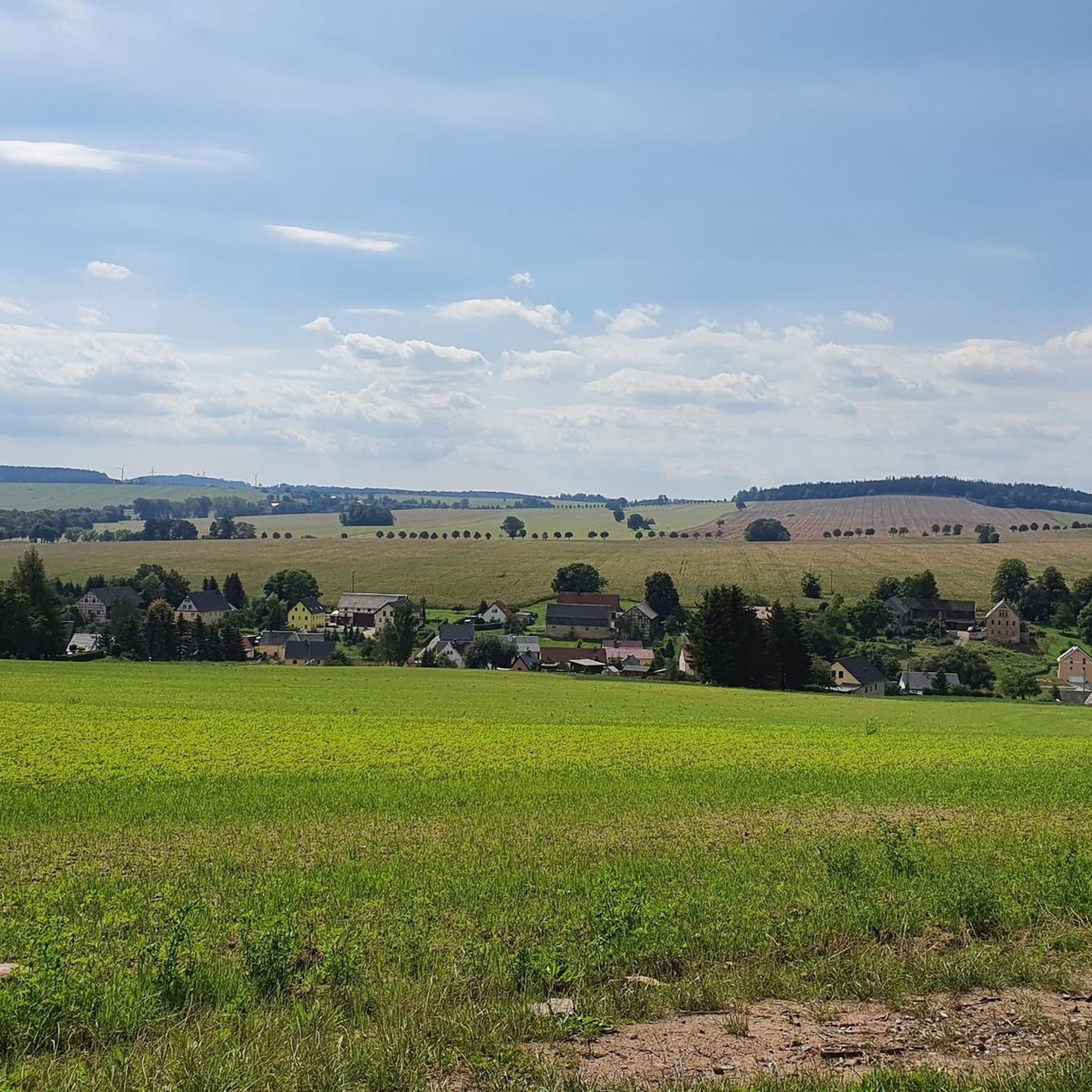
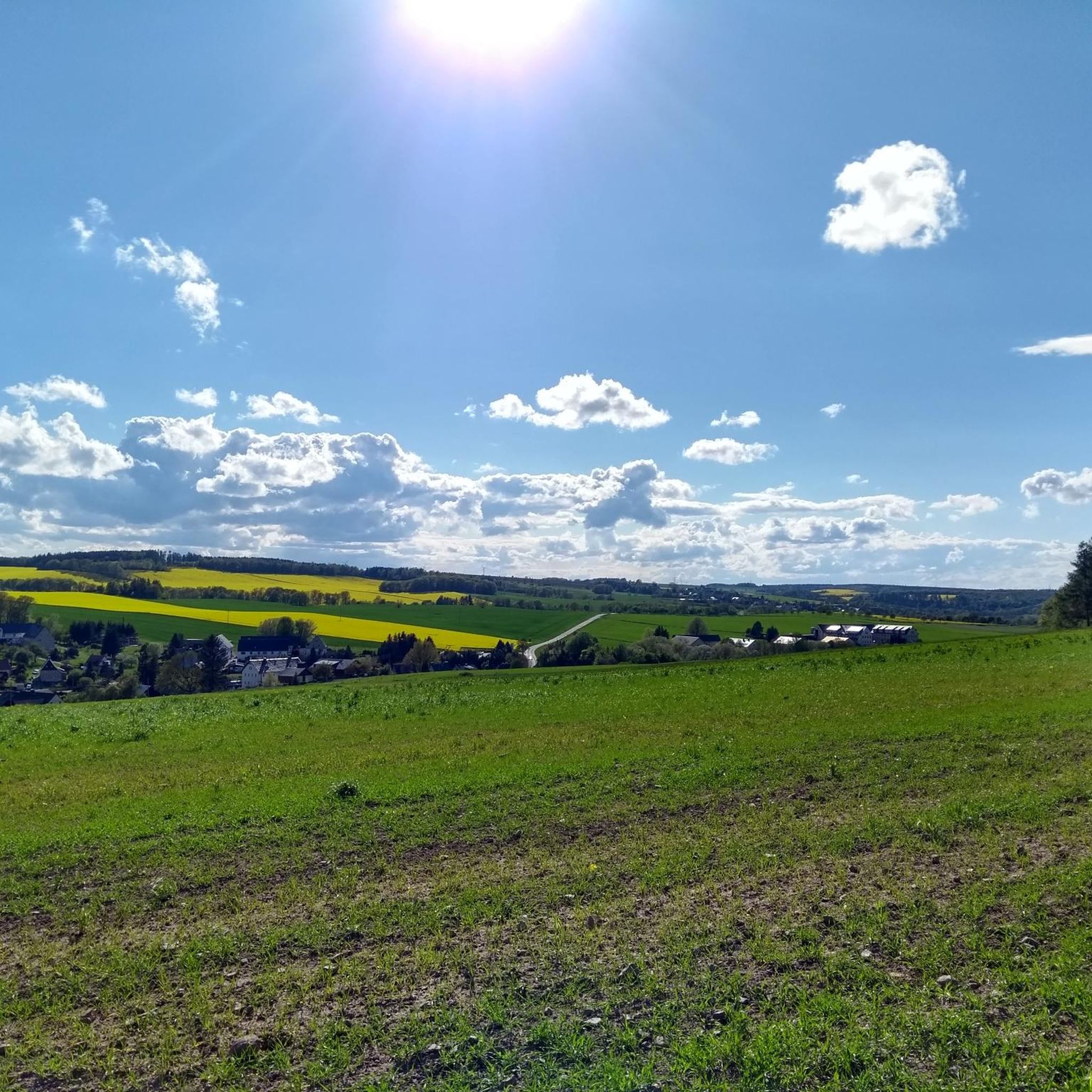
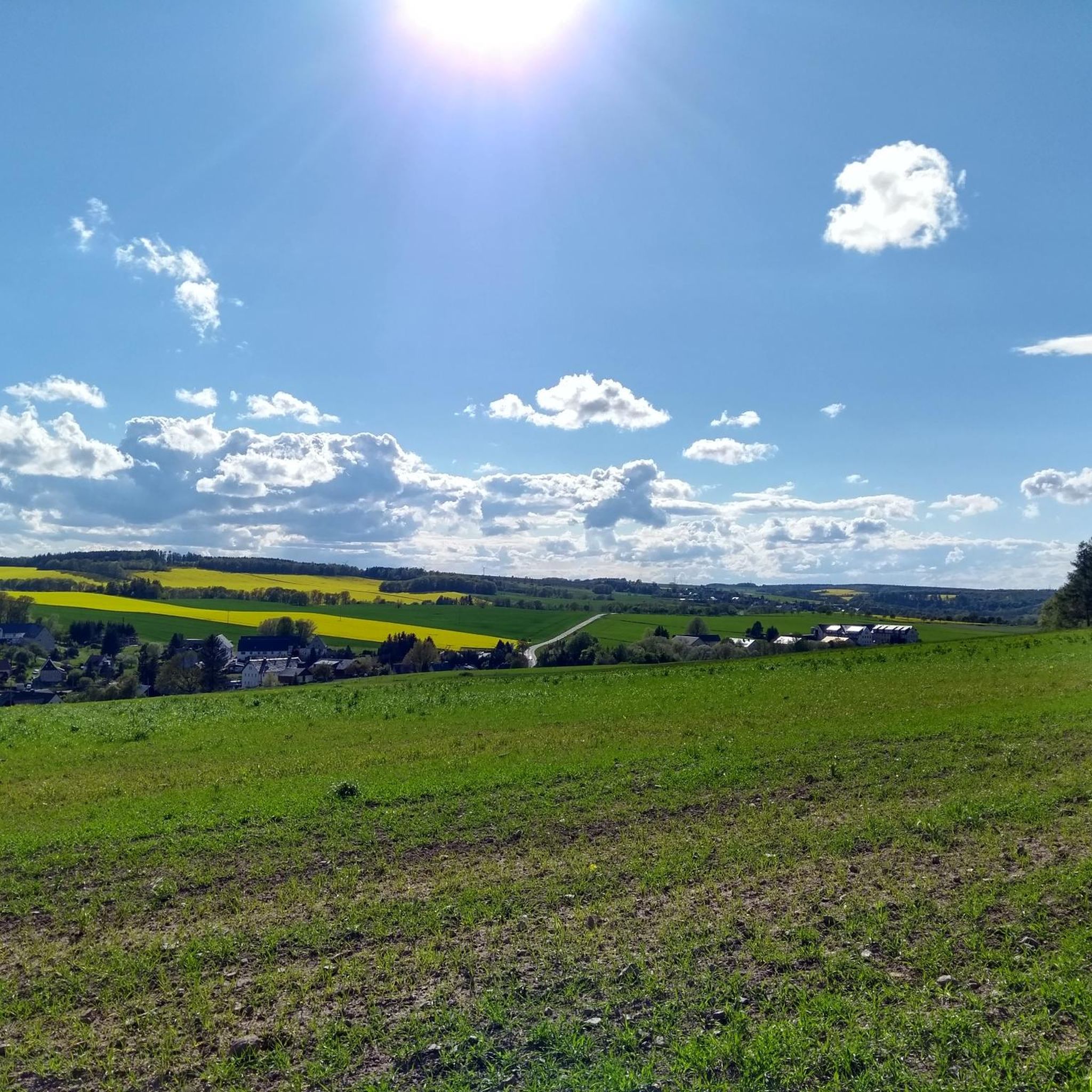
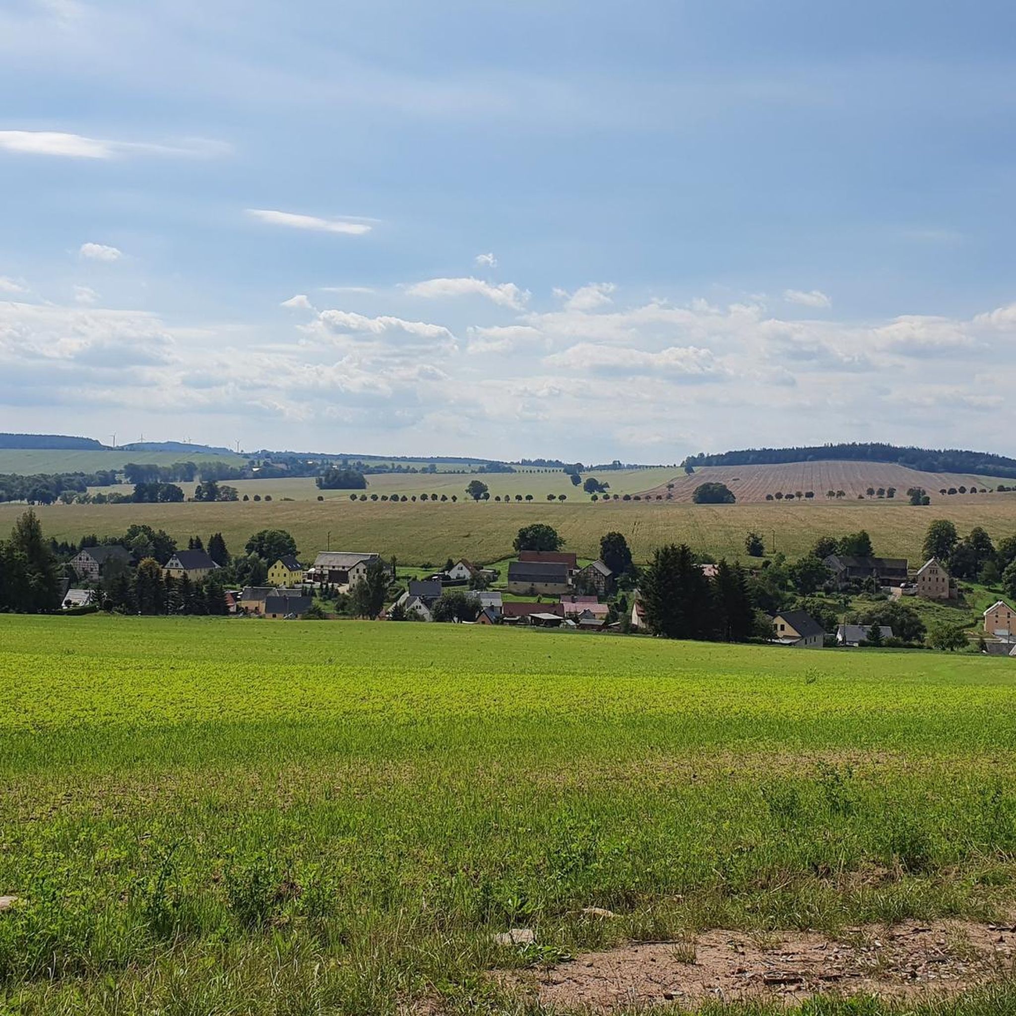
Very nice area for cycling. Very nice views here.
0
0

Good ice cream and plenty of seating by the water nearby.
0
0

Nice dam but under construction. So you may have to push your bike.
2
1
Frequently Asked Questions
How many touring cycling routes are available around Höckendorf Heath?
There are over 400 touring cycling routes around Höckendorf Heath, catering to various skill levels. This includes approximately 85 easy routes, over 210 moderate routes, and around 140 more challenging options.
What kind of terrain can I expect when cycling around Höckendorf Heath?
The terrain around Höckendorf Heath is generally gently undulating, characterized by extensive heathlands, dense pine forests, and tranquil river valleys. You'll encounter a mix of partially asphalted paths, natural trails, and agricultural roads, providing varied scenery and surfaces for your ride.
When is the best time of year to go touring cycling in Höckendorf Heath?
The most picturesque time to visit is from August to September when the iconic purple heather landscapes are in full bloom. However, the region offers pleasant cycling conditions throughout spring and summer, with the pine forests providing shade and varied scenery.
Are there any family-friendly touring cycling routes in Höckendorf Heath?
Yes, Höckendorf Heath offers several routes suitable for families. Many paths are relatively flat and car-free, providing a safe and enjoyable experience. For a moderate option that includes a visit to an animal park, consider the Höckendorfer Heide Animal Park – Ruins of Ruppendorf Water Castle loop from Höckendorf, which is just over 11 km long.
Can I bring my dog on the touring cycling routes in Höckendorf Heath?
Many of the natural trails and paths in Höckendorf Heath are suitable for cycling with dogs, provided they are well-behaved and kept on a leash where required, especially in nature reserve areas. Always be mindful of local regulations and other trail users.
What interesting landmarks or natural features can I see along the touring cycling routes?
Cyclists can discover several points of interest. You might explore the Heilsberg Energy Discovery Trail, or visit the Playground and rest area at Tiergarten Höckendorfer Heide. For a scenic view, consider the Mückenberg – Highest Point of Höckendorfer Heide (426 m). The routes also pass through the characteristic Höckendorfer Heath itself, known for its extensive heathlands.
Are there circular touring cycling routes available?
Yes, many of the touring cycling routes around Höckendorf Heath are designed as loops, allowing you to start and end at the same point. Examples include the popular Café Buddenhagen – Somsdorf Cycle Path loop from Höckendorf and the scenic Dippoldiswalde Town Hall – Malter Dam Forebay loop from Höckendorf.
What do other touring cyclists enjoy most about cycling in Höckendorf Heath?
The area is highly rated by the komoot community, with an average score of 4.6 stars from over 1,200 reviews. Reviewers often praise the peaceful, car-free sections, the varied landscapes of heath and forest, and the well-maintained network of cycling paths that make for an enjoyable and tranquil experience.
Are there any routes that feature water views or pass by lakes?
Yes, several routes offer scenic views of water bodies. For instance, the Dippoldiswalde Town Hall – Malter Dam Forebay loop from Höckendorf leads past the Malter Dam Forebay, providing picturesque water views. Another option is the Malter Dam Forebay – Ruins of Ruppendorf Water Castle loop from Höckendorf, which also features the forebay.
Is public transport available to access the cycling routes, and can I bring my bike?
Within the broader Lüneburg Heath region, which includes Höckendorf Heath, seasonal services like the Heide-Shuttle buses often operate with bike transport facilities. This can be a convenient way to access different starting points or cover longer distances. It's advisable to check local public transport schedules and bike carriage policies in advance.
Where can I park my car if I'm bringing my bike to Höckendorf Heath?
While significant portions of the Lüneburg Heath Nature Reserve are car-free to protect the landscape, designated parking areas are available at the entrances to the cycling networks. Look for official parking facilities near trailheads or popular starting points in and around Höckendorf to ensure convenient access.
Are there any challenging touring cycling routes in the area?
Yes, while many routes are moderate, Höckendorf Heath also offers more challenging options for experienced touring cyclists. For example, the Seer Pond – Grillenburg Hunting Lodge loop from Höckendorf is classified as difficult, featuring more significant elevation changes over its 19.4 km distance.
Most popular routes around Höckendorf Heath
Most popular attractions around Höckendorf Heath

Get inspired with the komoot mobile app


Explore more
Browse the best Cycling routes in other regions.
